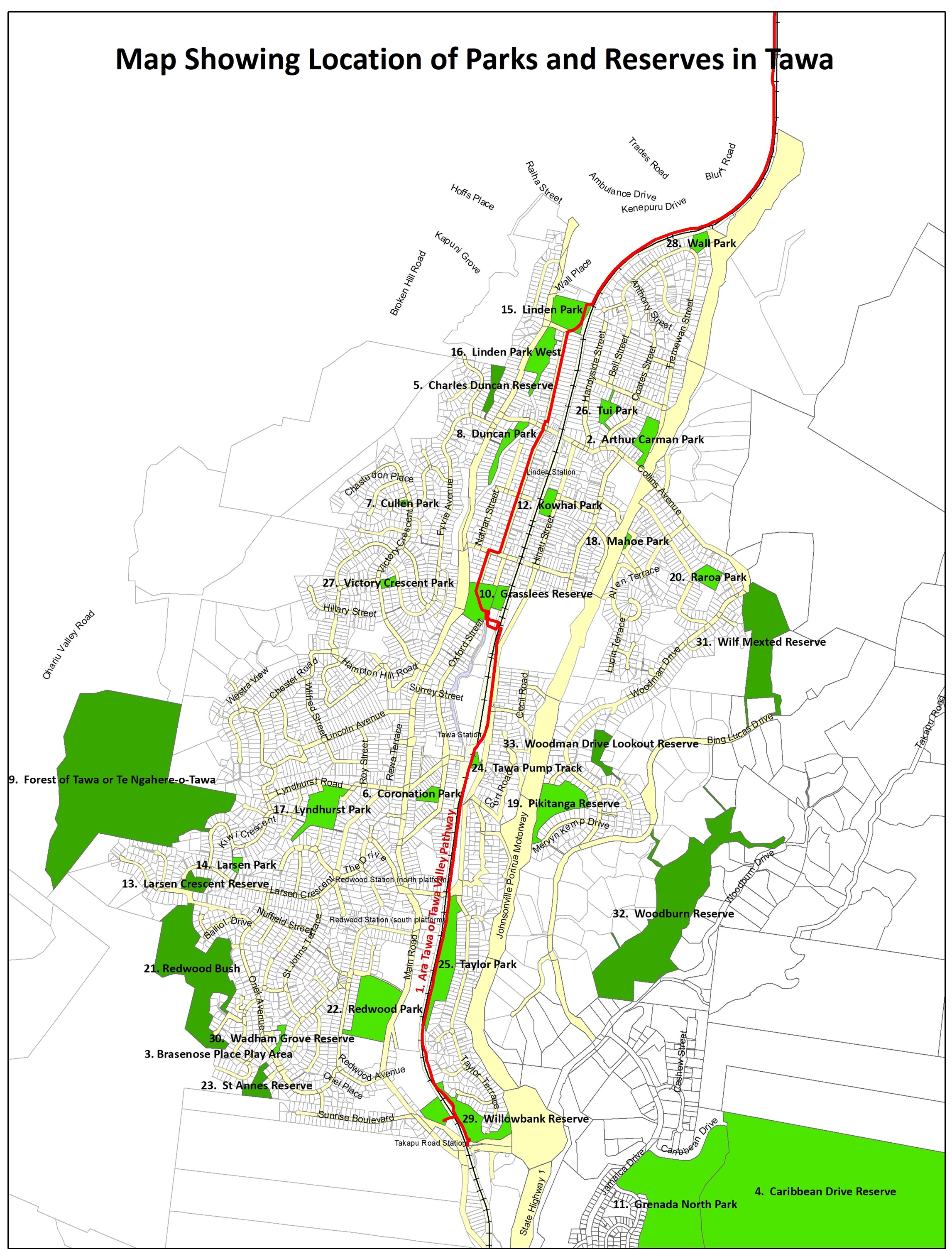
Tawa Bush Reserves & Tawa Bush Walks
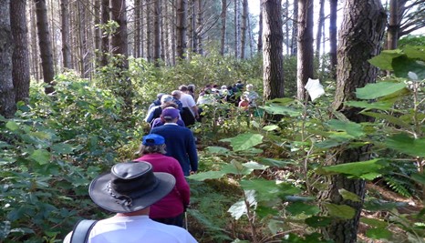
The ‘Friends of Tawa Bush Reserves’ (FOTBR) was formed in 2002 to preserve the piece of bush now known as the Larsen Crescent Reserve. This piece of bush was botanically unique in the Wellington Region and was under threat from urban development. Since that time, the organisation has been active in all of the reserves listed below, carrying out clearance of weeds, native tree planting, track design and cutting – then maintenance, and animal pest control.
Each of these reserves was created when a particular area of Tawa was developed. Most of the areas of land in the reserves were either too steep to be easily built on, or were pieces of land put aside for recreational purposes by the developers.
In all of these reserves there are regularly monitored bait stations and traps to control animal pests.
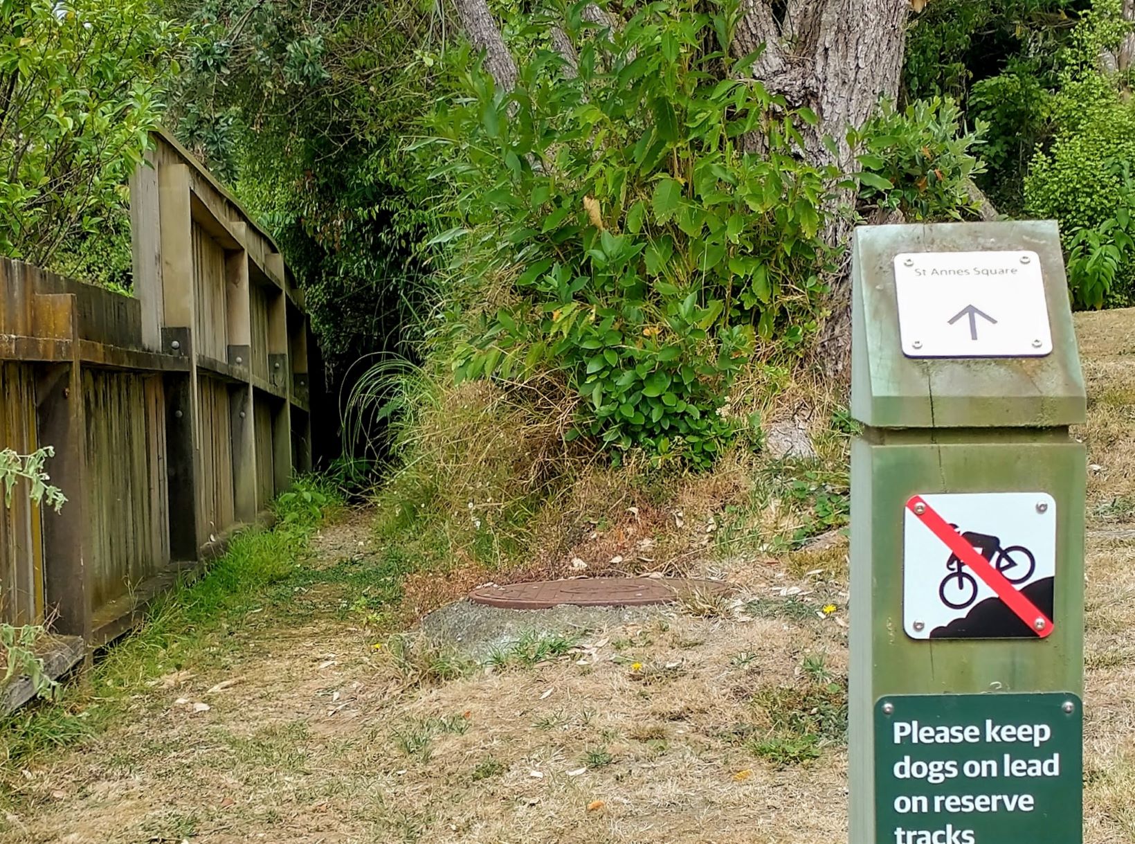
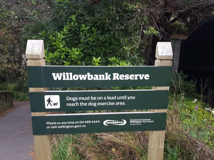
When taking dogs through any of the reserves, please ensure that they are on a lead. Also remember to clean up after your dog and dispose of the waste appropriately.
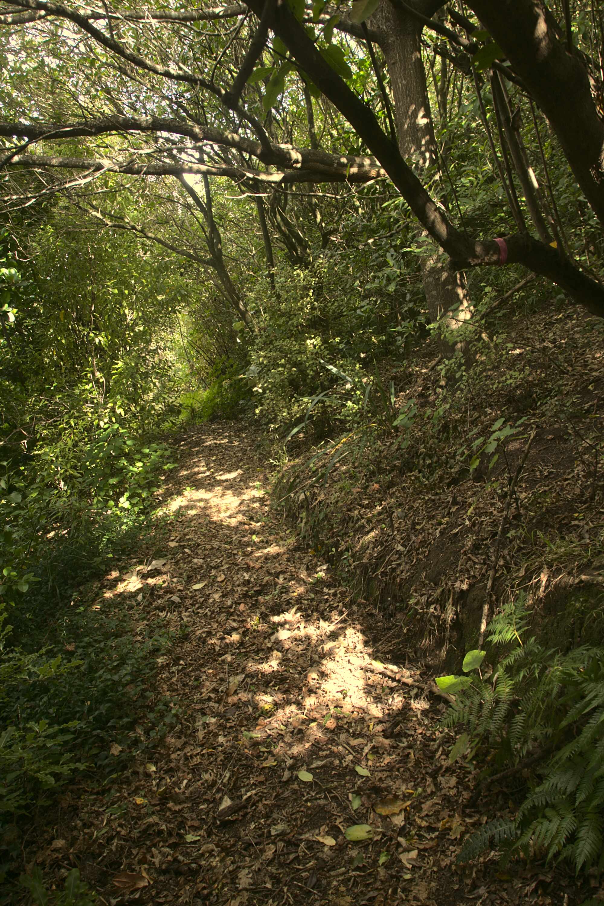
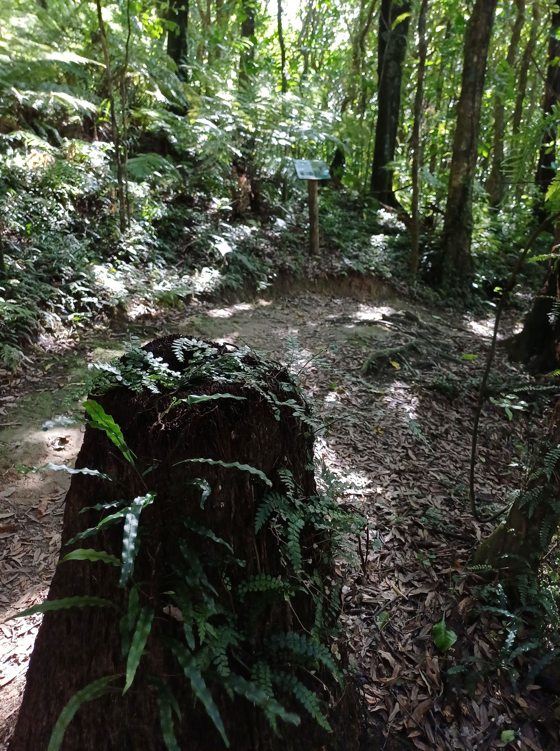
All the Tawa Bush walking tracks are shown in brown against the green on the maps.
The indication of a track on private land does not imply right of access on or over that land.
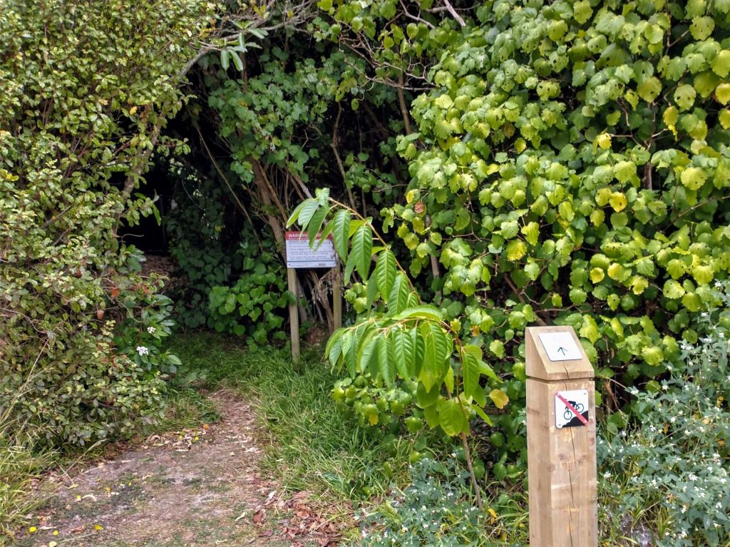
None of the tracks are suitable for wheelchairs or cycling.
Tawa Bush Reserves (so far) are:
Click links or scroll down for further information on each reserve … and enjoy your next awesome Tawa Bush Walk!
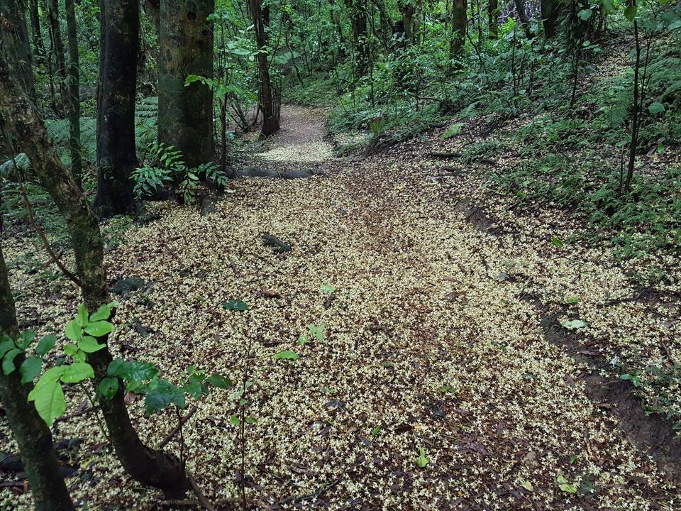
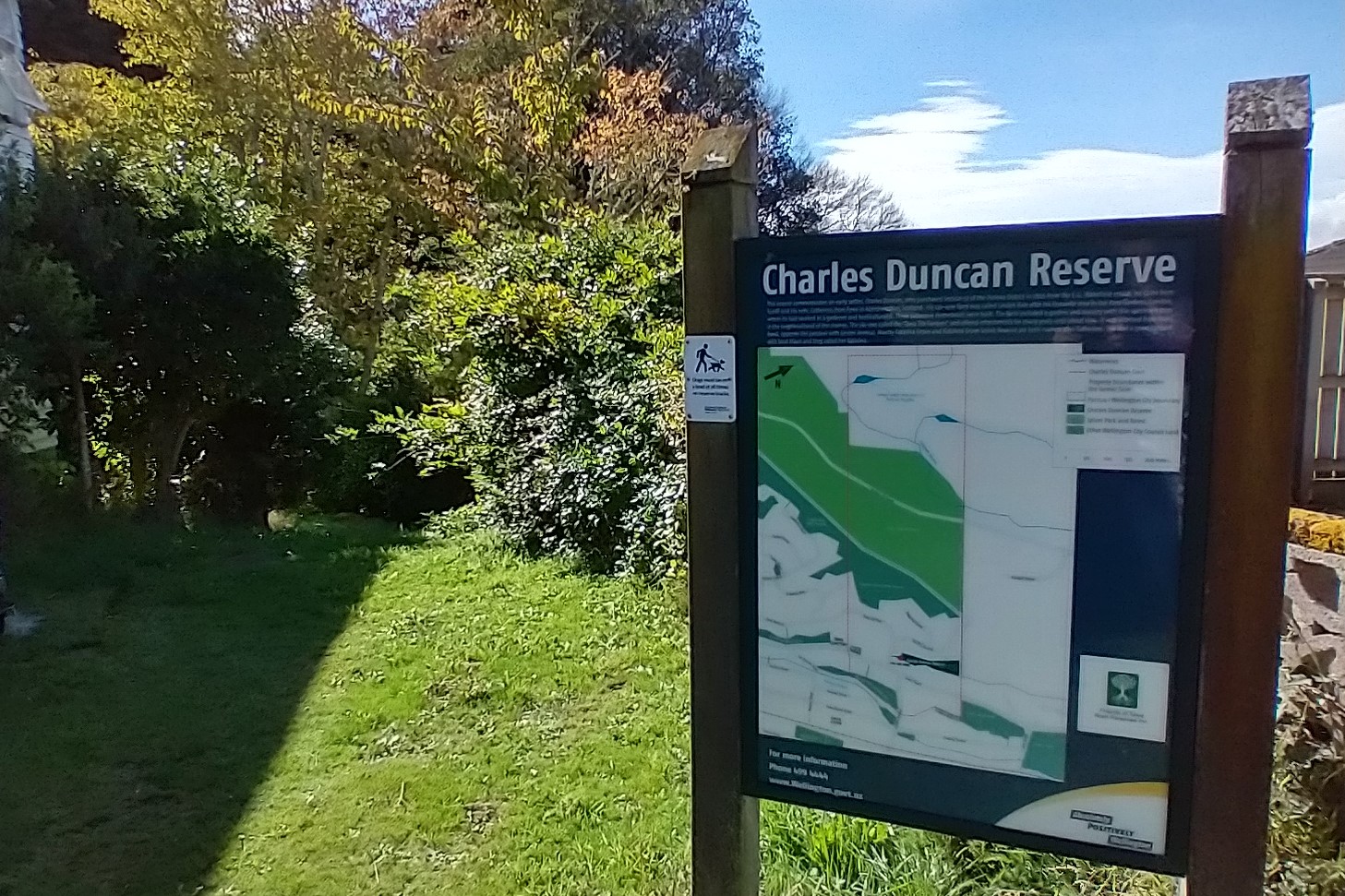
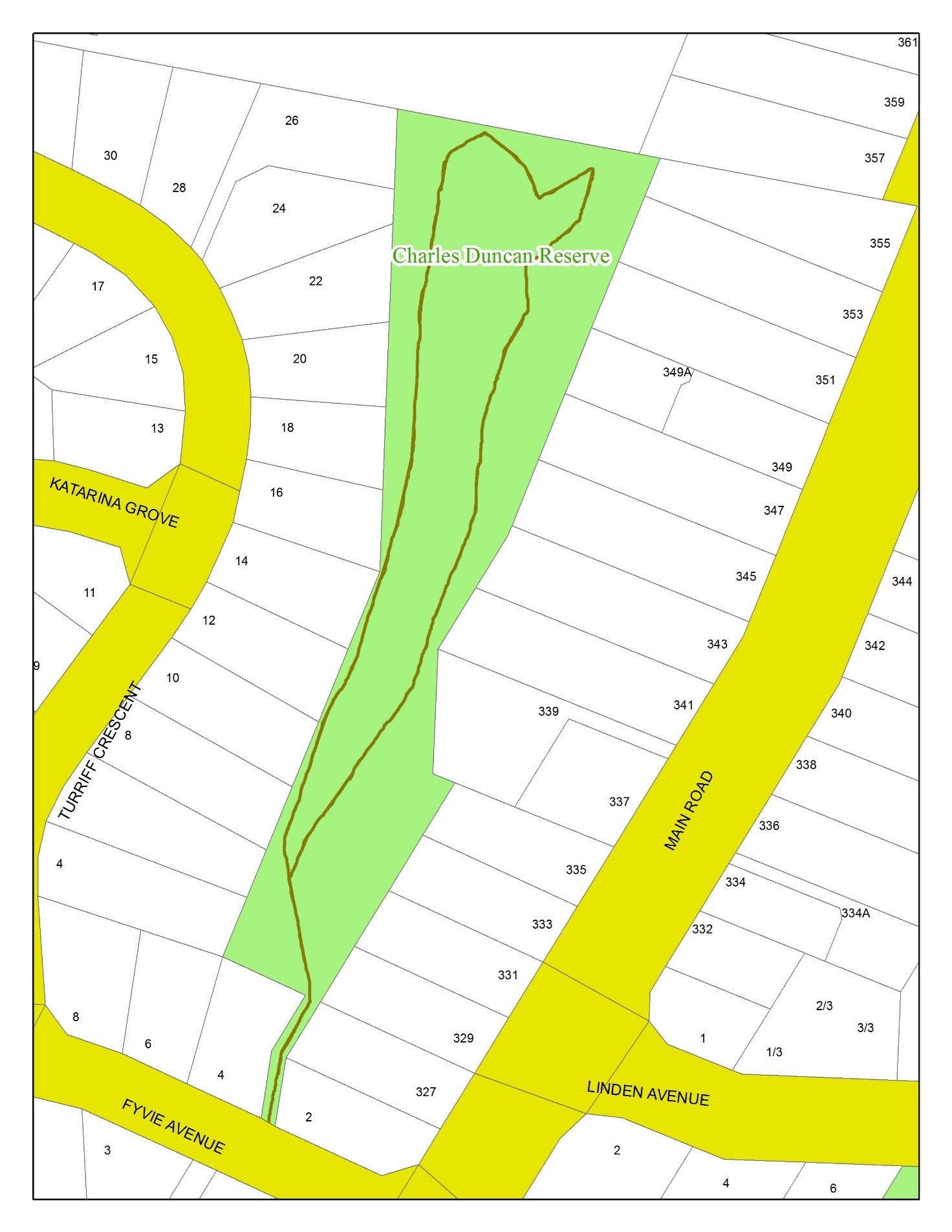
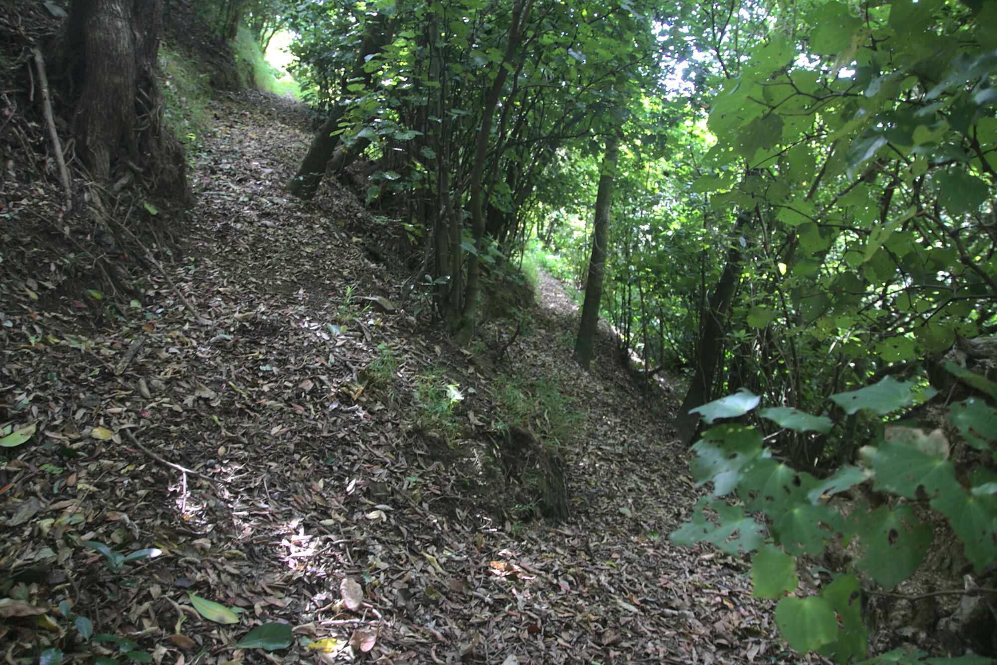
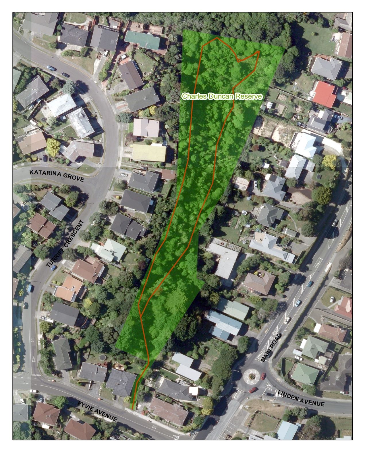
Charles Duncan Reserve
Access:
From between numbers 2 and 4 Fyvie Avenue.
Parking:
There is free parking on Fyvie Avenue.
Views:
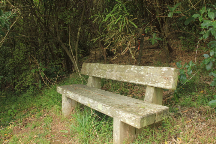
Good views of southern end of Tawa and of Linden. At the end of the loop there is a wooden bench seat from which there are good views of Tawa.
Terrain:
Grass with some dirt sections. Relatively easy and undulating. However there are 26 steps before the loop starts and the track is moderately steep at the far end of the loop.
Type of trees:
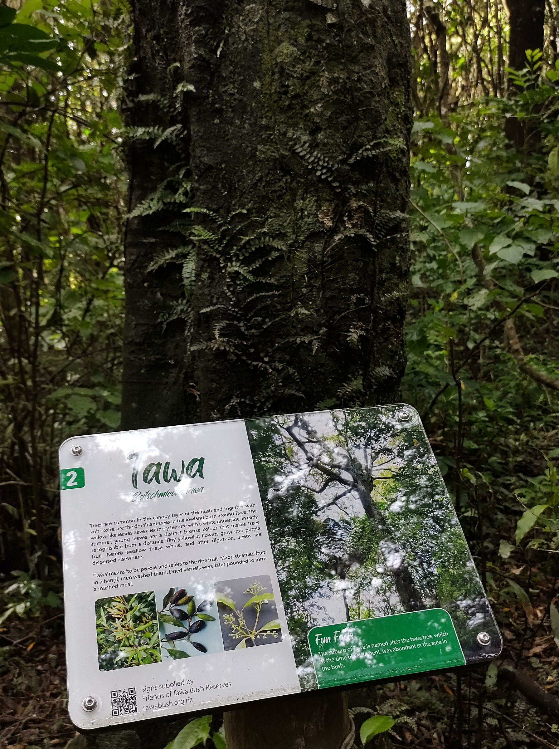
Mahoe is prominent in the low canopy layer. In this layer are also young northern rata, totara, matai, rimu, puriri, tawa and hinau. At the lower levels are developing nikau, titoki, with lacebark, karo, and mapou. The shrub layer is mainly kawakawa, makomako, karamu, kanono, tarata, hangehange, hebes, and whauwhaupaku. There are also some exotic trees at the beginning of the track that are reputed to date back to early plantings by Charles Duncan.
Walking time:
The full loop in 10-20 minutes at an easy pace.
Off-road pushchairs:
Yes, however assistance will be required for the steps.
History:
This reserve is relatively newly named, and lies between Main Road and Turriff Crescent, Linden. It is a remnant of the ‘Linden Vale’ property originally owned by Charles and Catherine Duncan. When ‘Linden Vale’ was subdivided for housing, the developers were required to set aside land for reserves. It is this “reserve” land that has been named by the Wellington City Council, along with a recommendation from the Tawa Historical Society and FOTBR in 2006, as the “Charles Duncan Reserve”.
This reserve was in an overgrown neglected state and was restored by FOTBR in collaboration with the Wellington City Council (WCC) during 2005-2006.
The walking track was developed by FOTBR and they also planted about 2,000 native trees in the reserve. The track in the reserve was “officially” opened in December 2009.
Legal Description:
Lot 1 DP 51563, part Section 52 Porirua Survey District, and designated Open Space B Recreation Reserve.


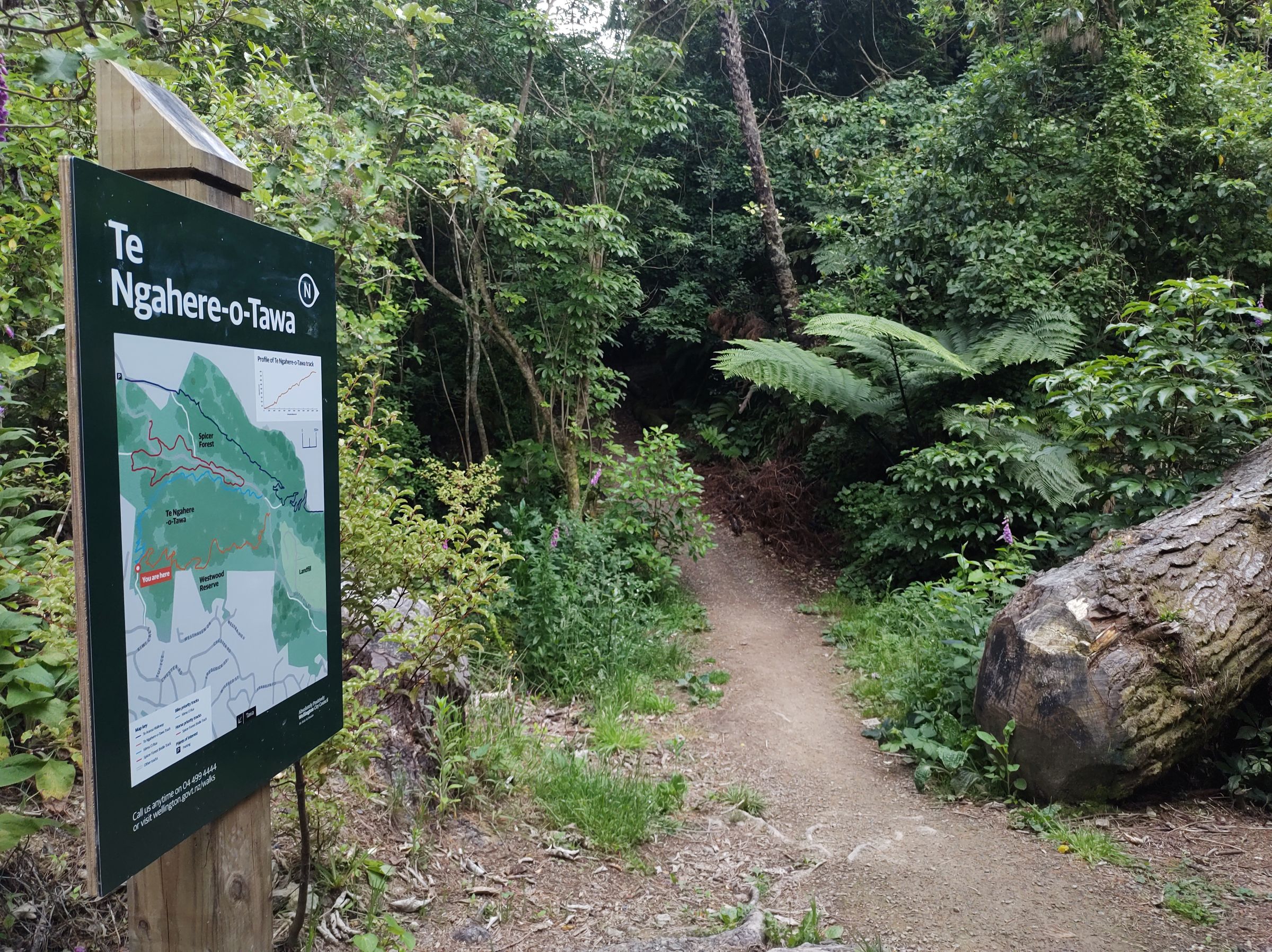
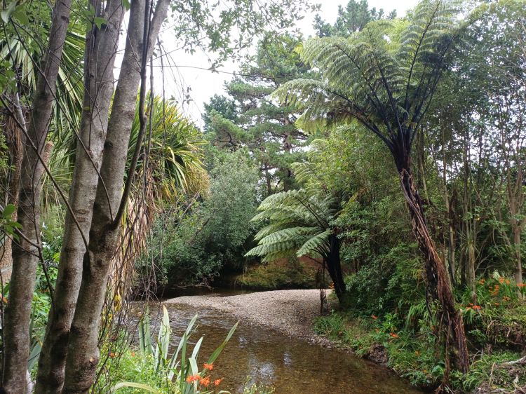
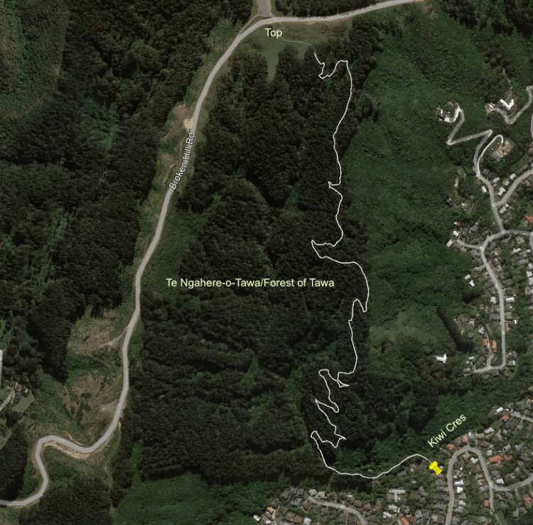
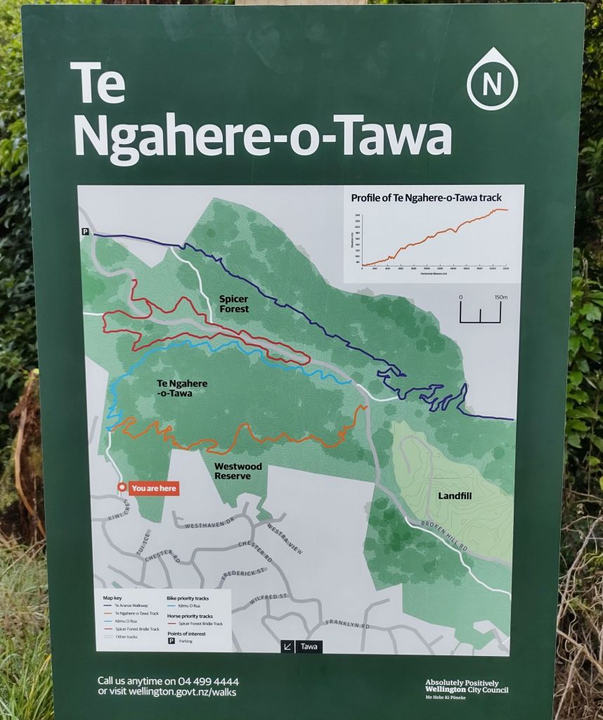
Te Ngahere-o-Tawa / Forest of Tawa
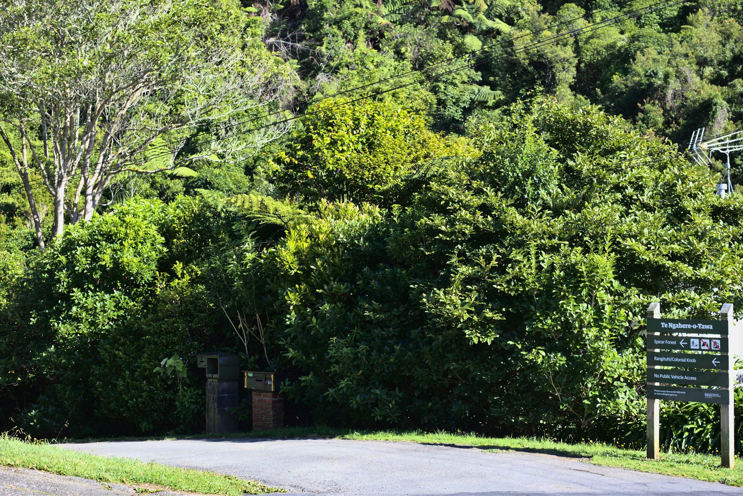

Access:
In Kiwi Crescent between numbers 56 and 58. Veer right after walking down the driveway for approximately 40m.
Parking:
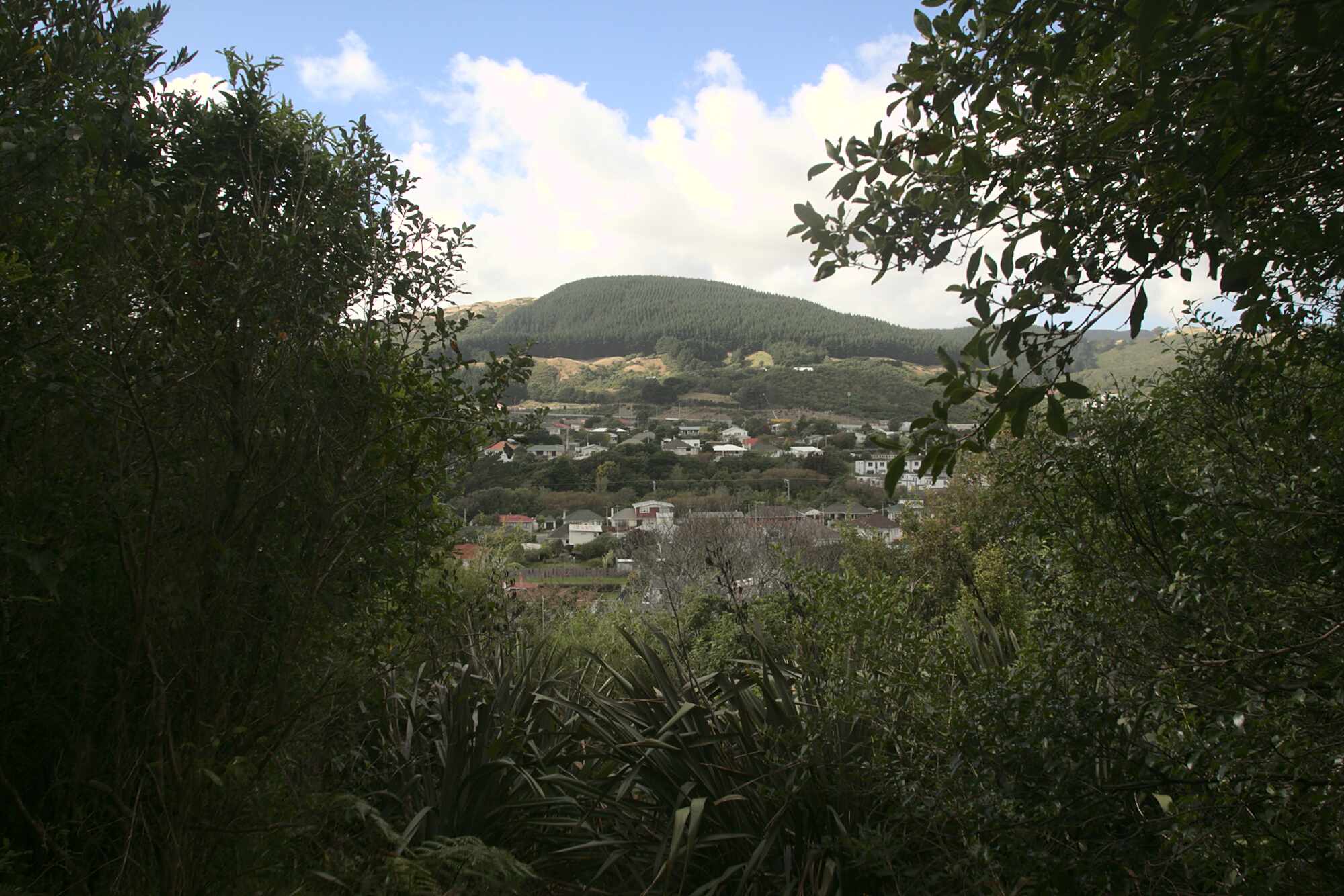
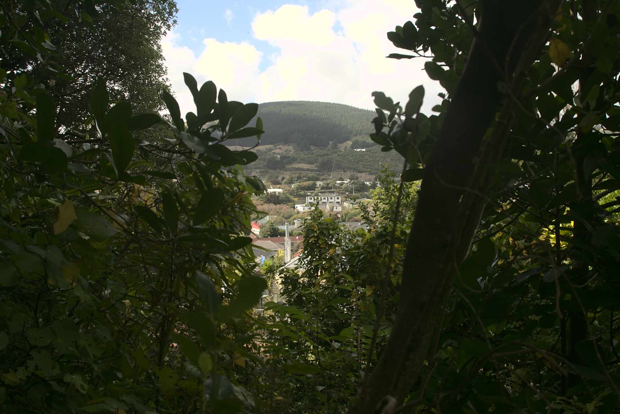
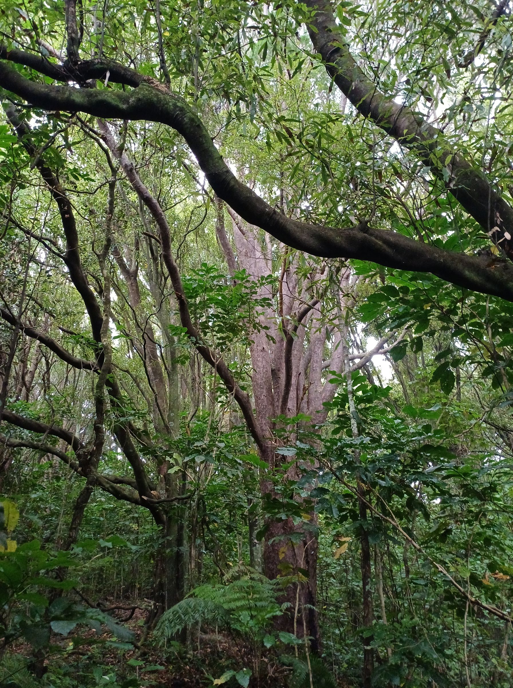
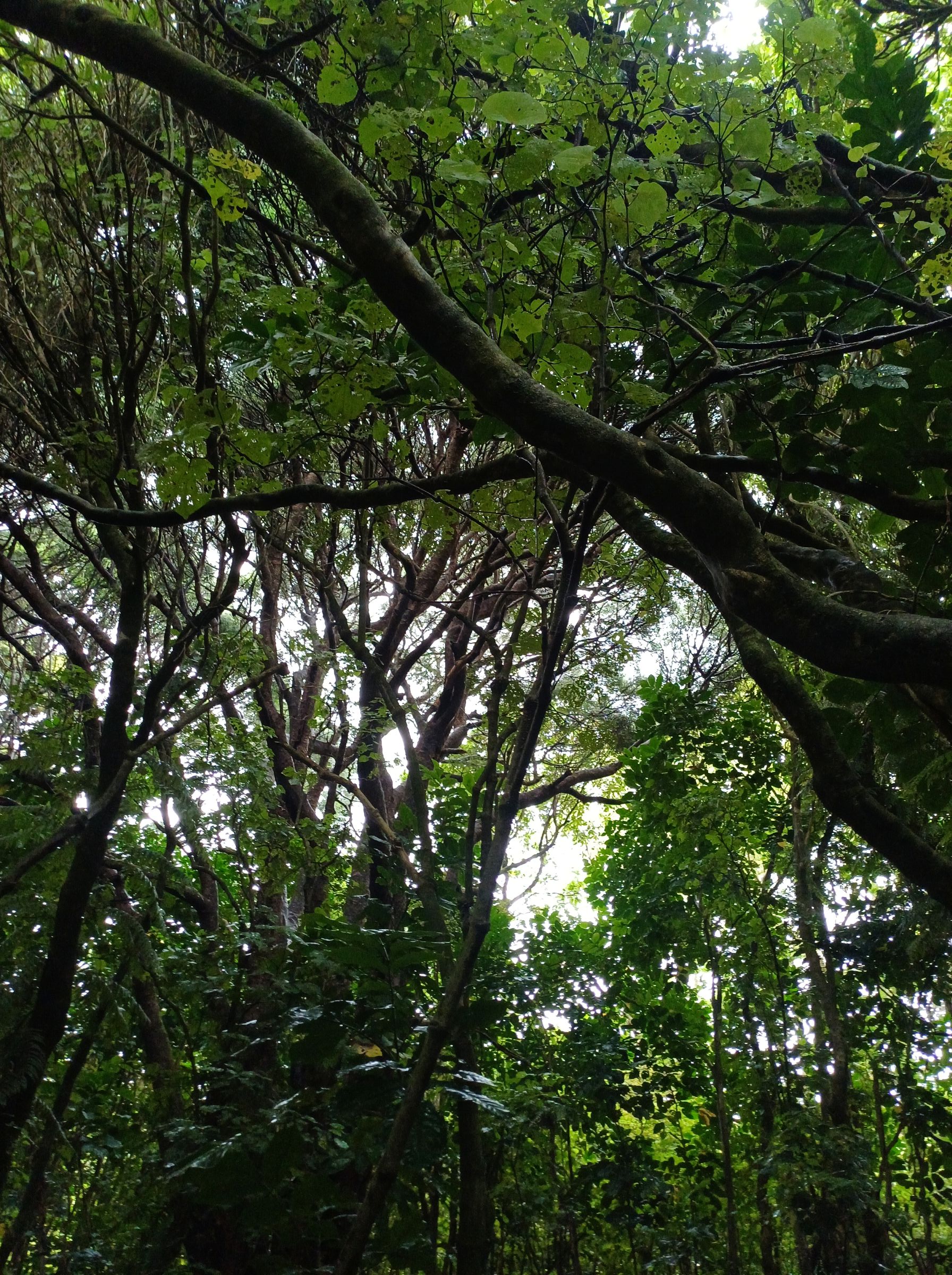
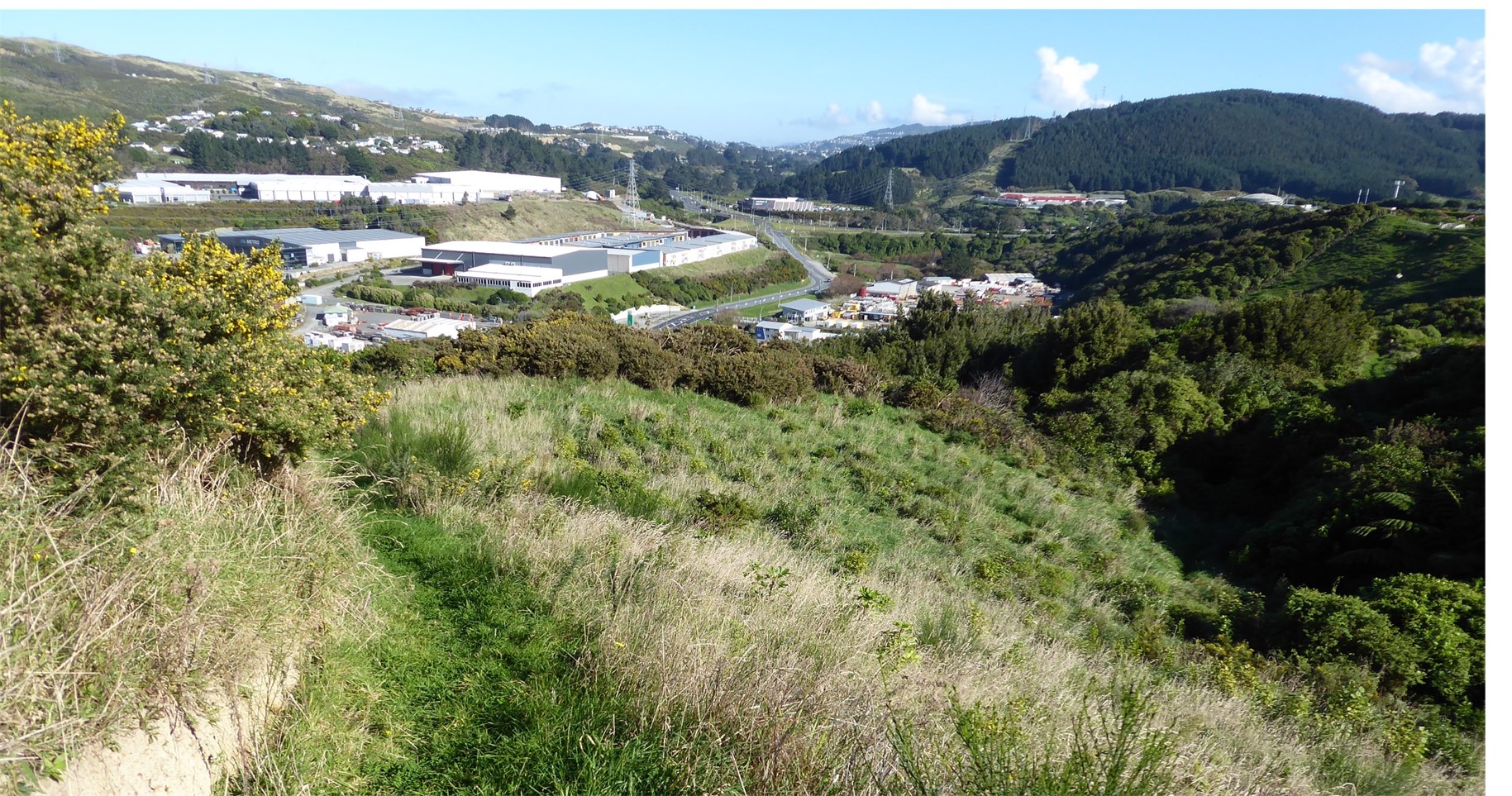
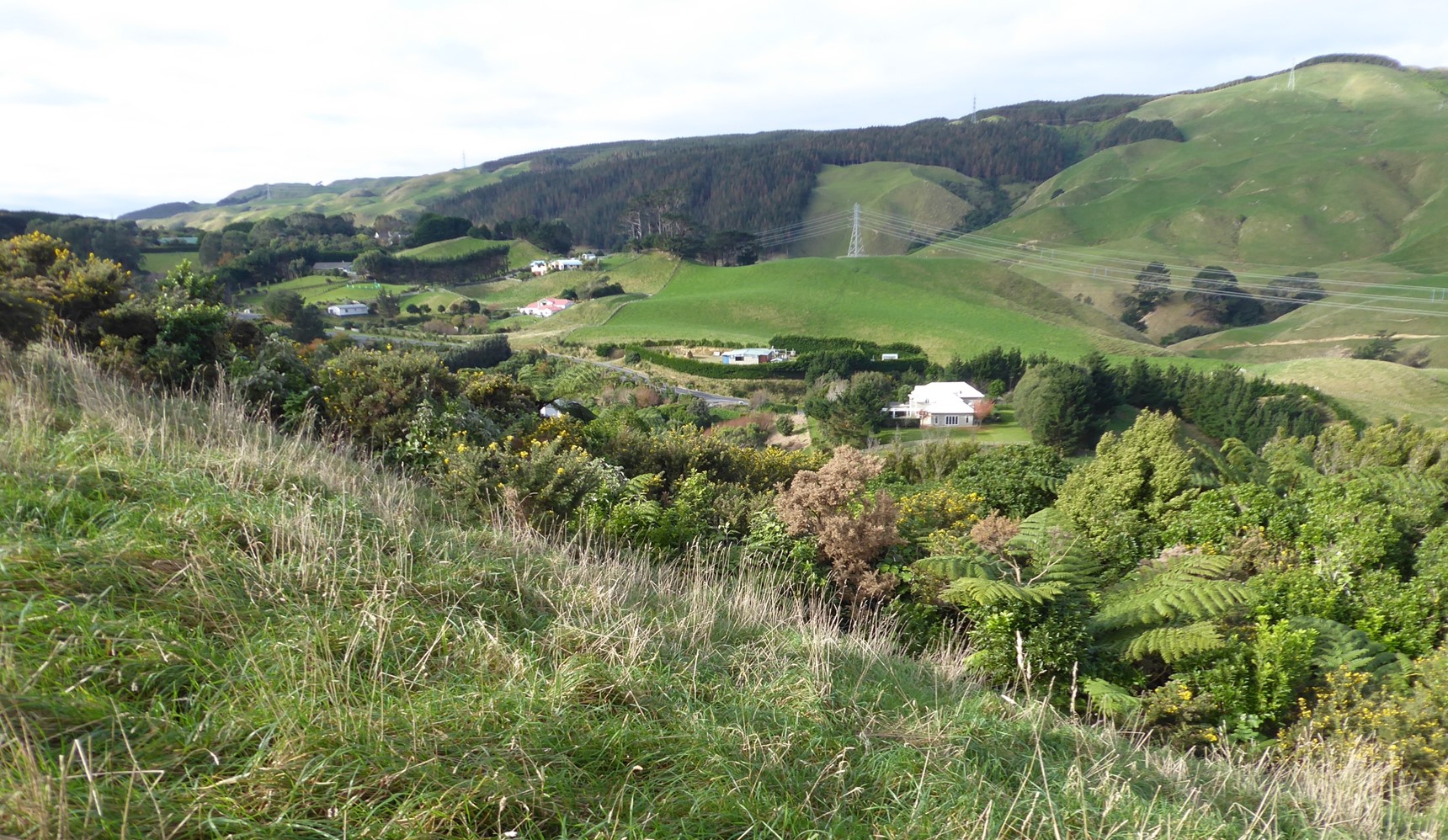
The Forest of Tawa is a large reserve of 36-hectare in area on the western hills, flanking Tawa, and is made up of a remnant of native forest, pine forest and regenerating native trees.
Views:
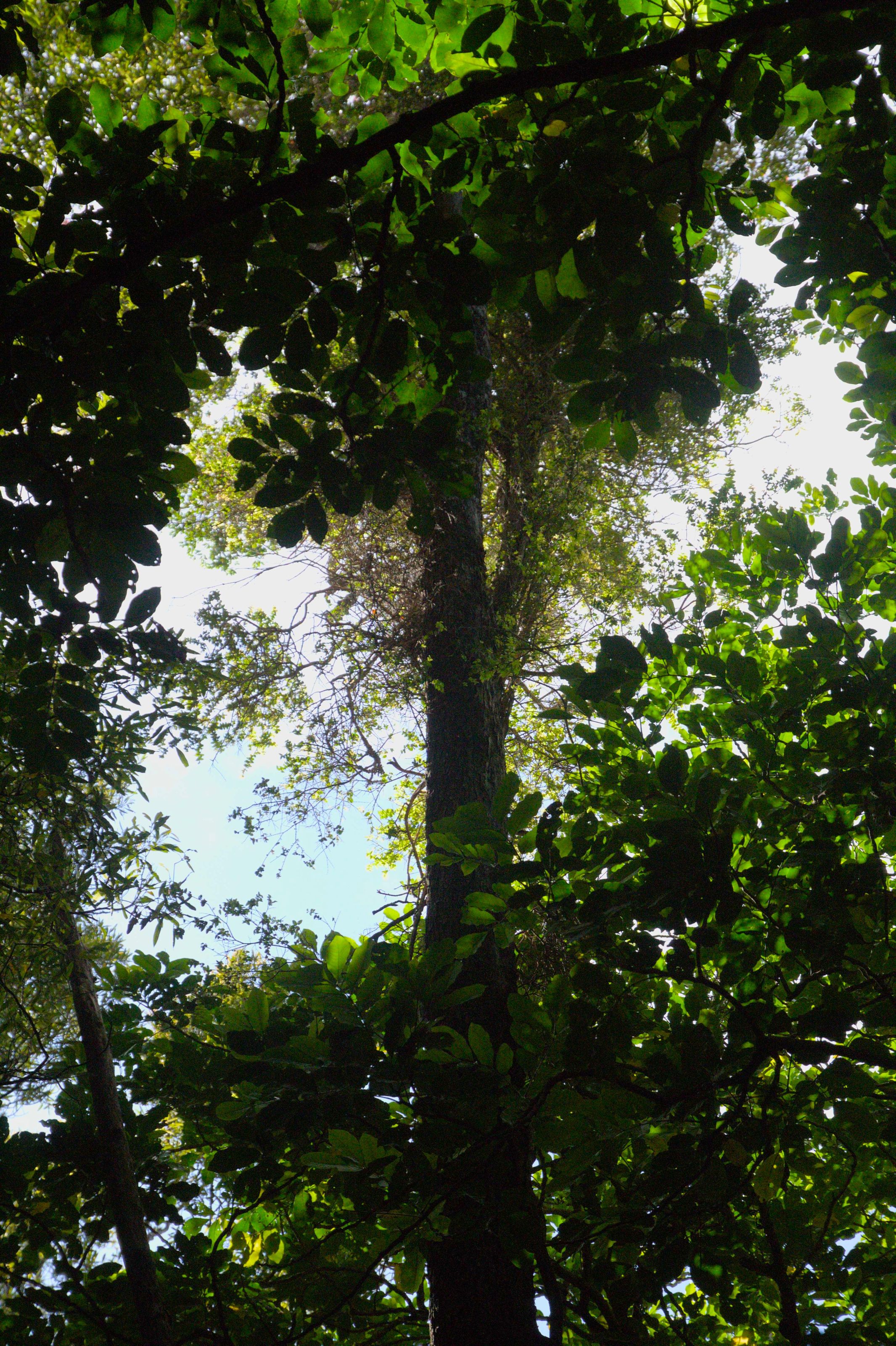
Panoramic views of Tawa through the dominant tall pine trees as well as from those areas that have only native bush.
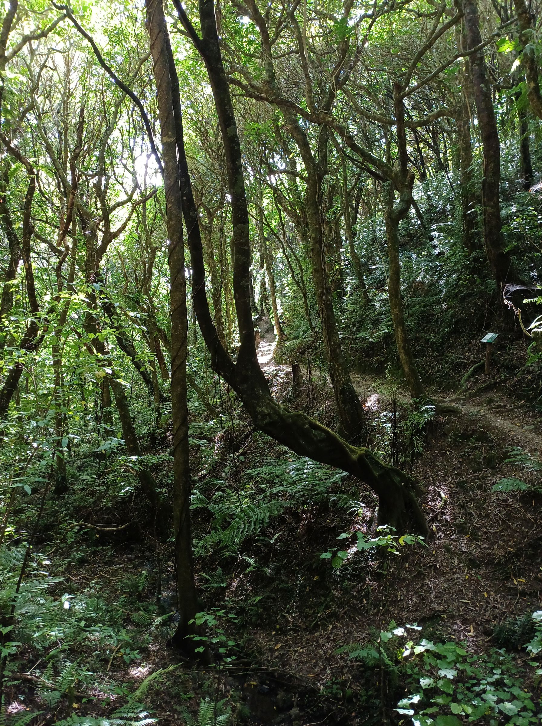
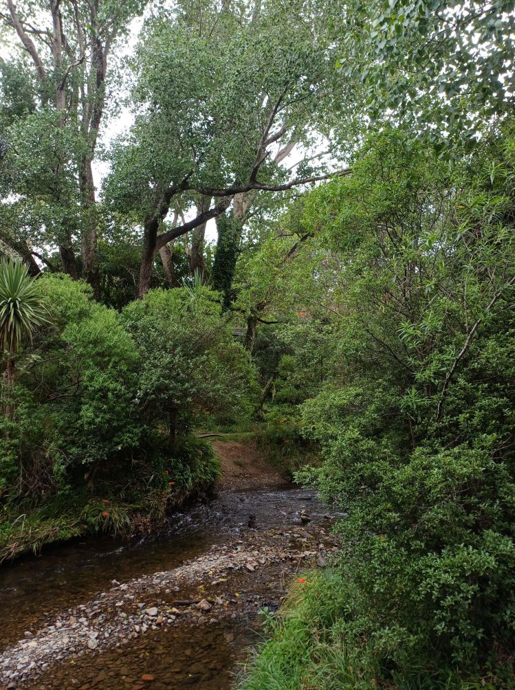
Terrain:
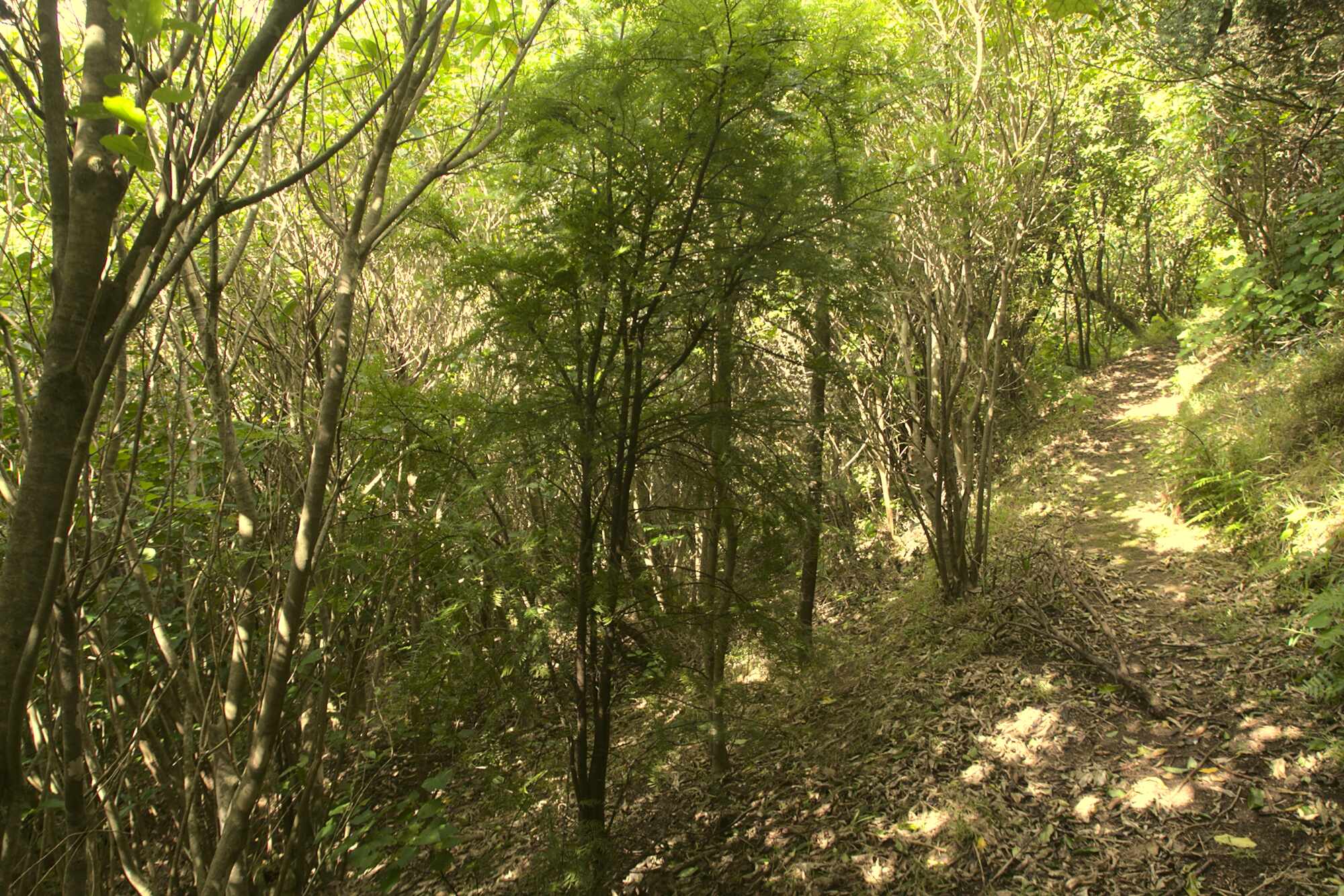
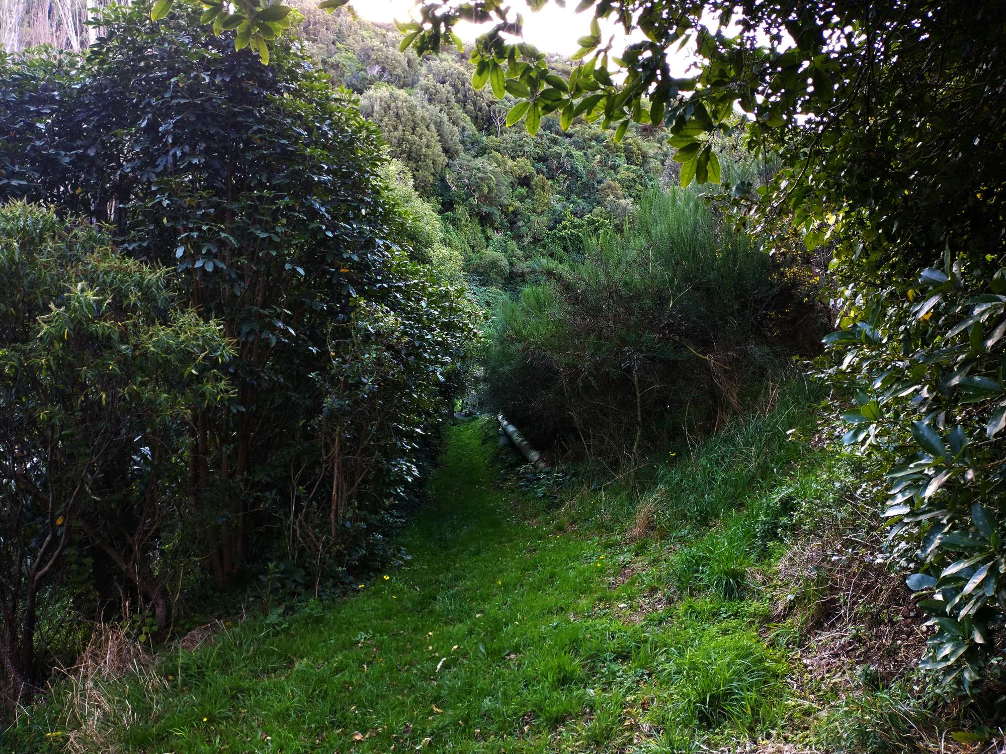
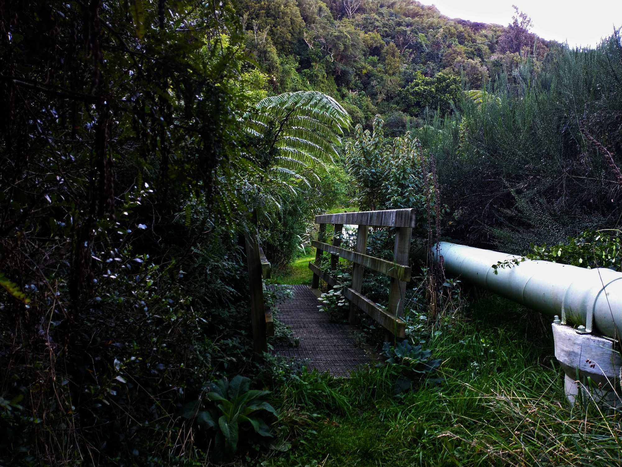
Flat at the Kiwi Crescent entrance. The newly formed lower track for walkers (created in 2021) veers off to the right in a steady, zig zag incline. Steeper in places, the track flattens out as it approaches Spicer Road. Part of the previous steeper track on the left is now designated for mountain bikers and the signage indicates this.
Type of trees:
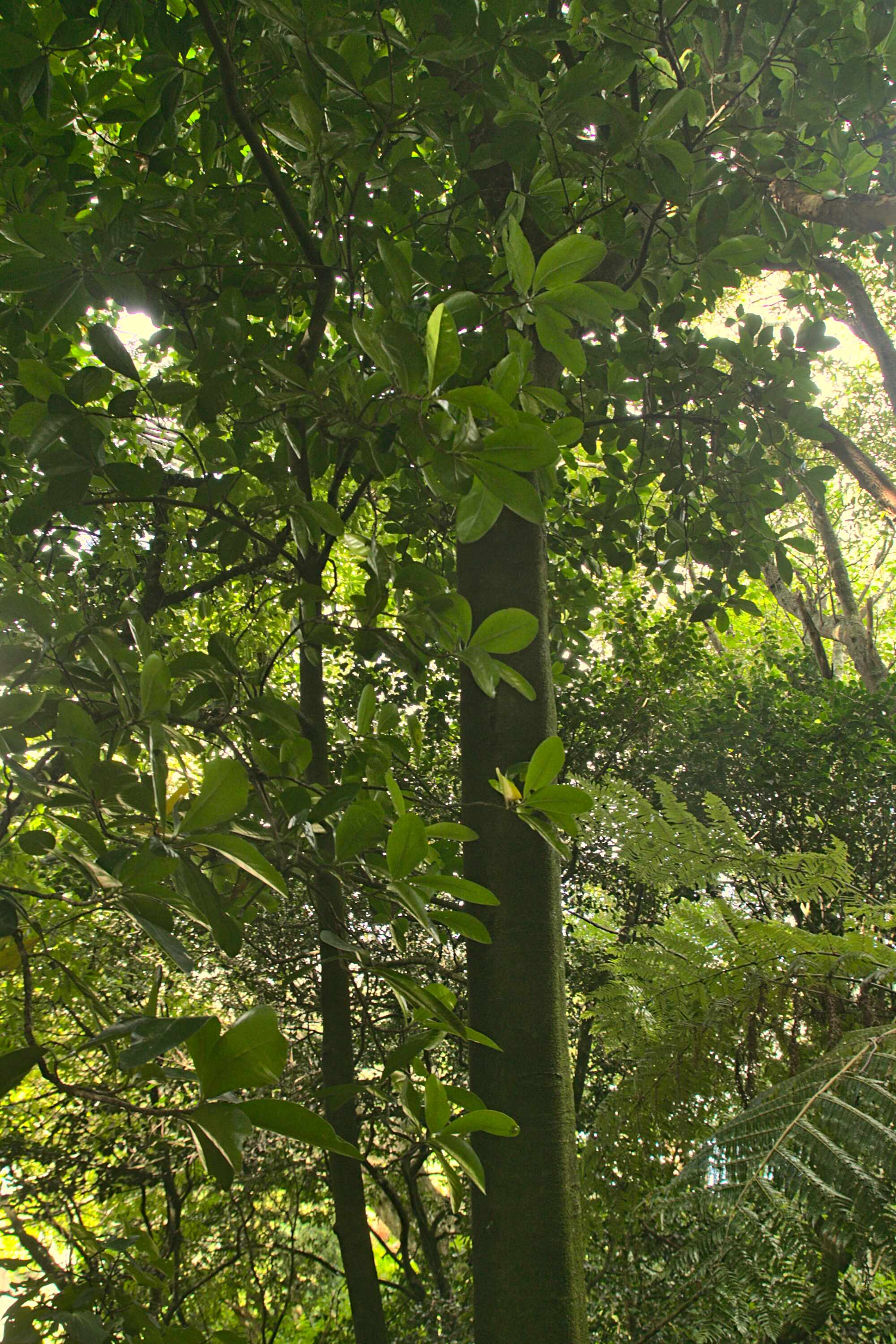
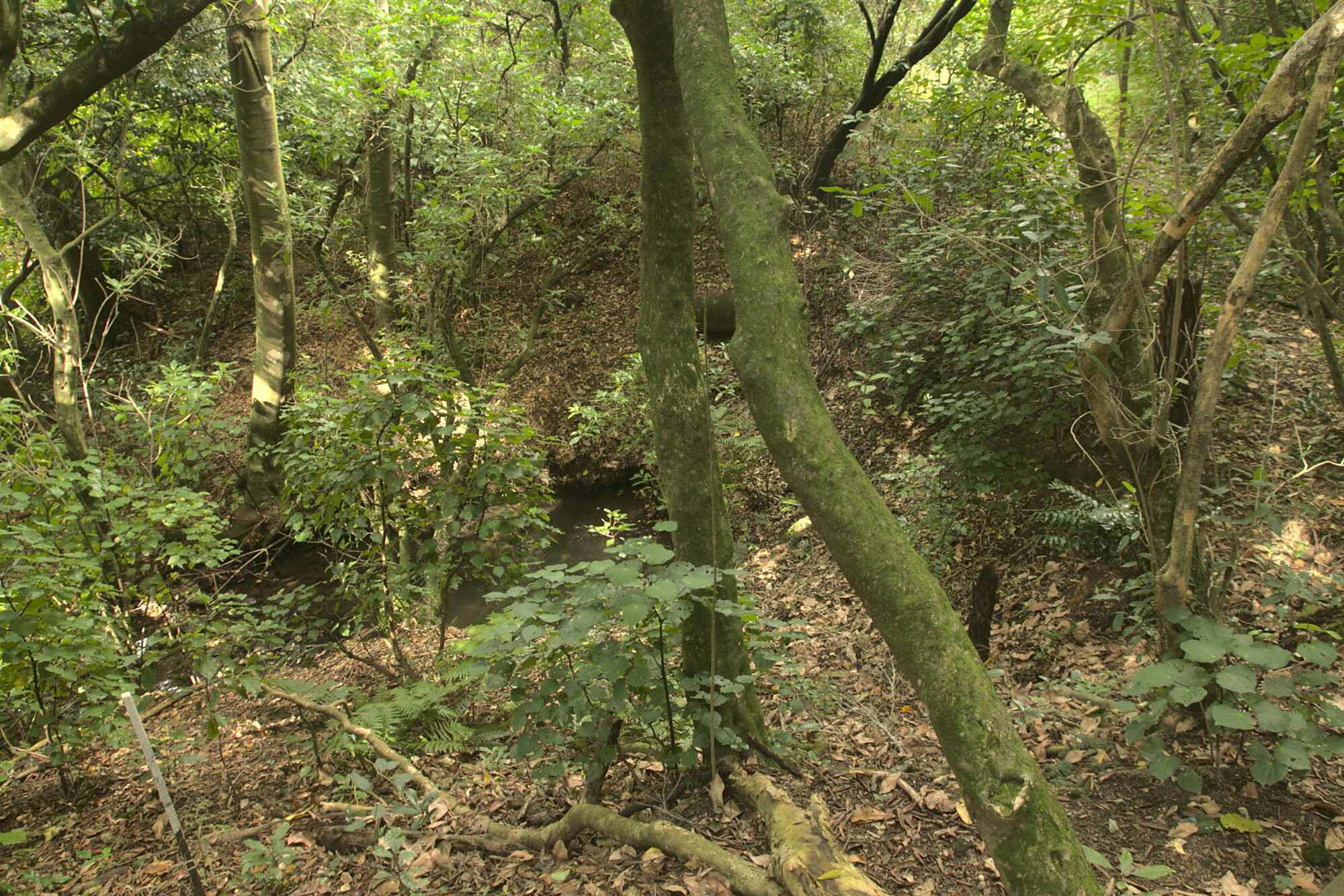
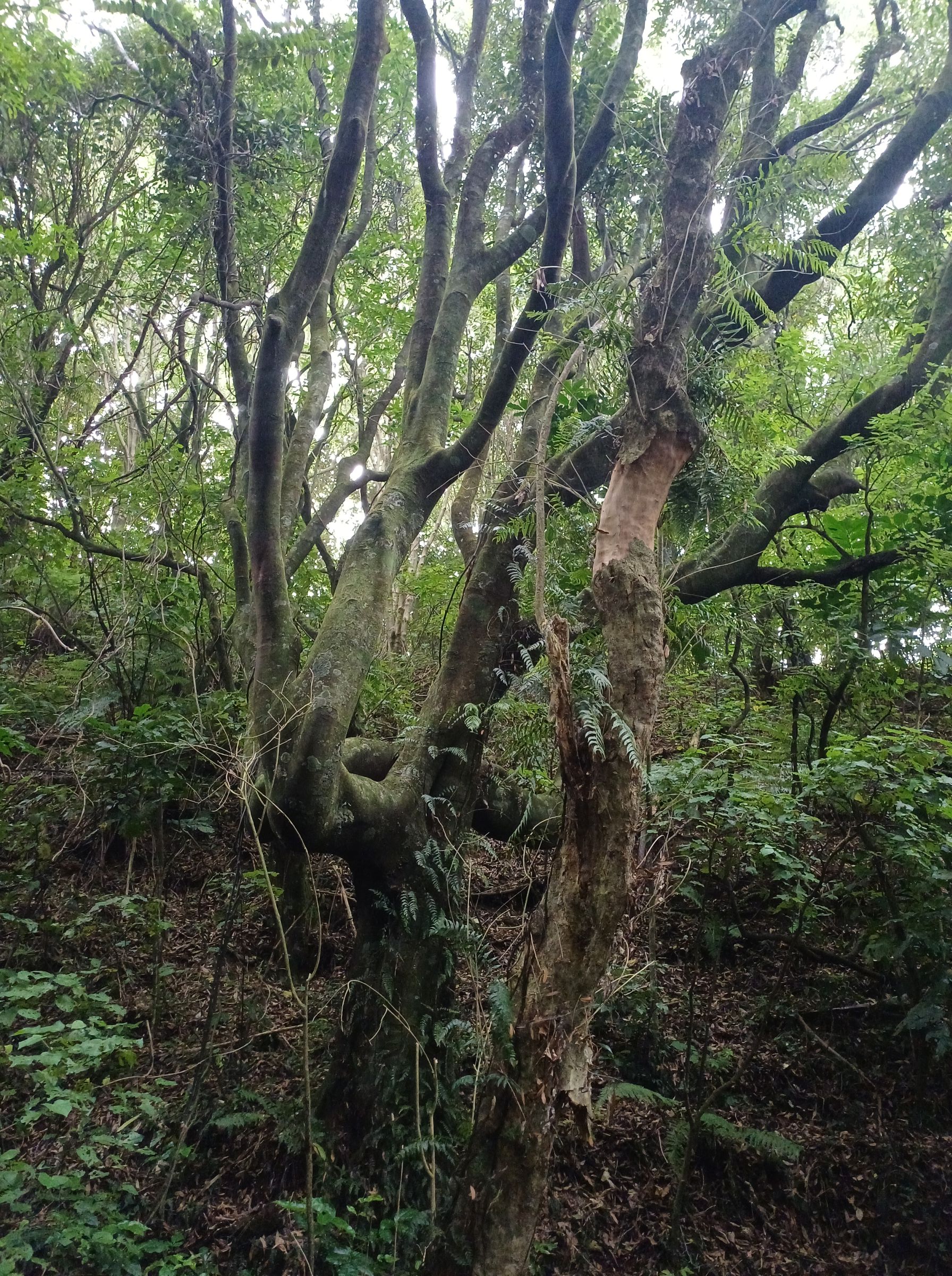
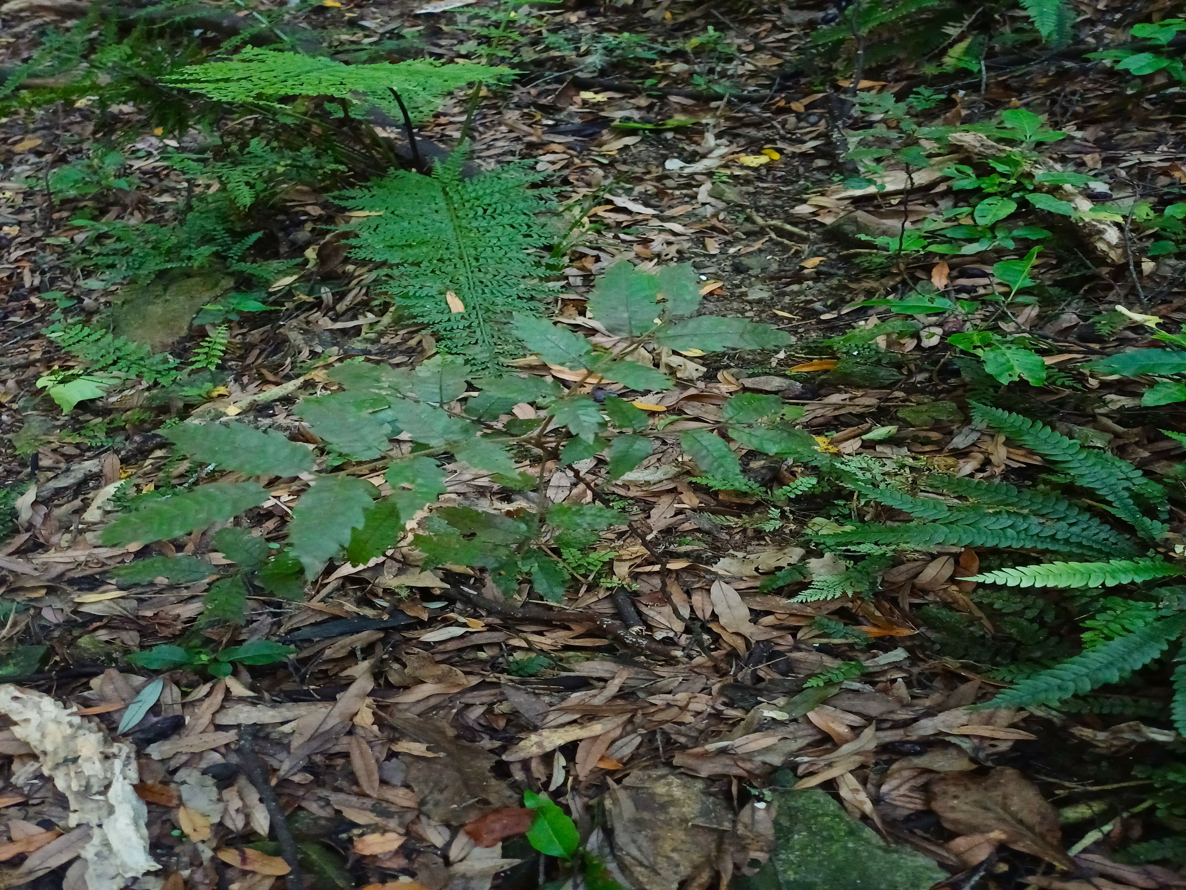
Apart from the obvious sections of pines – below which there is abundant regeneration of the original native trees, there are remnants of native forest, with tawa, kohekohe, rewarewa, and mahoe dominant. Below these, mapou, kawakawa, karamu, konano, hangehange, tarata (lemon wood), and five-finger are common, as well as regenerating tree and ground ferns.
Walking time:
Between Kiwi Crescent and Spicer Road is about 25-35 minutes.
Off-road pushchairs:
Although the new zig-zag track has a steady incline, it is feasible to use off-road strollers.
There is no off-road parking and limited parking on Kiwi Crescent.
History:
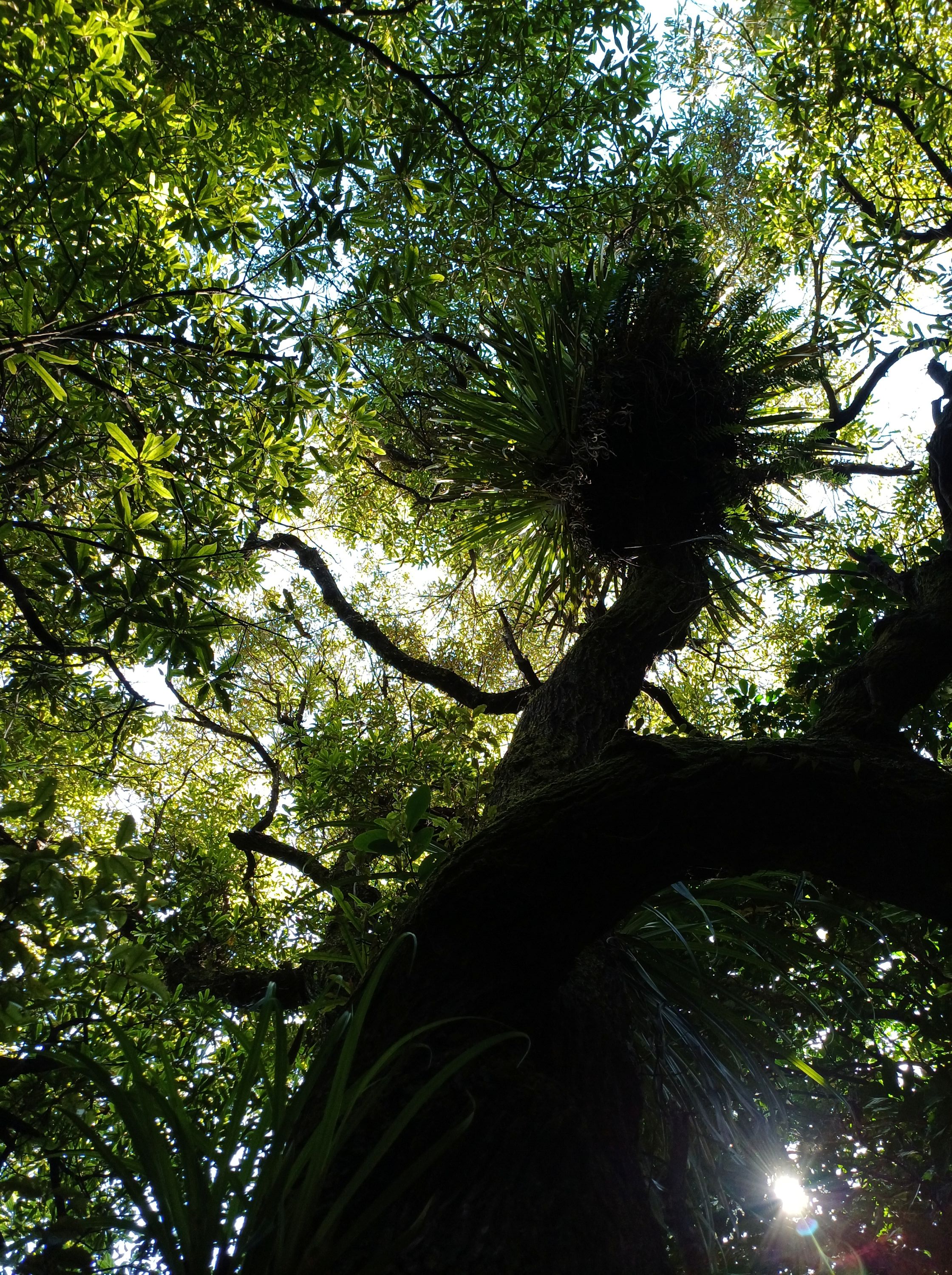
The forest sits between Redwood Bush and Spicer Forest, and provides an extended recreational area with walking tracks and views of Tawa. It enables a link from Tawa to the Te Araroa trail and Rangituhi (Colonial Knob).
This 36-hectare area was purchased by Wellington City Council in early 2017 and officially opened to the public in early April 2017. It enables an unbroken stretch of bush on Tawa’s western hills. The purchase has had a three-fold benefits to the community: ecological, recreational and water management.
This area was originally called Forest of Tane by the plantation forest owner. In September 2018 the Wellington City Council approved the renaming to Forest of Tawa or Te Ngahere-o-Tawa.
The Wellington City Council in conjunction with the Tawa Community Board are currently planning the further development of this reserve. In the meantime FOTBR is carrying out weed clearance at the bottom of the reserve with a view to improving track access.
Legal Description:
To be supplied

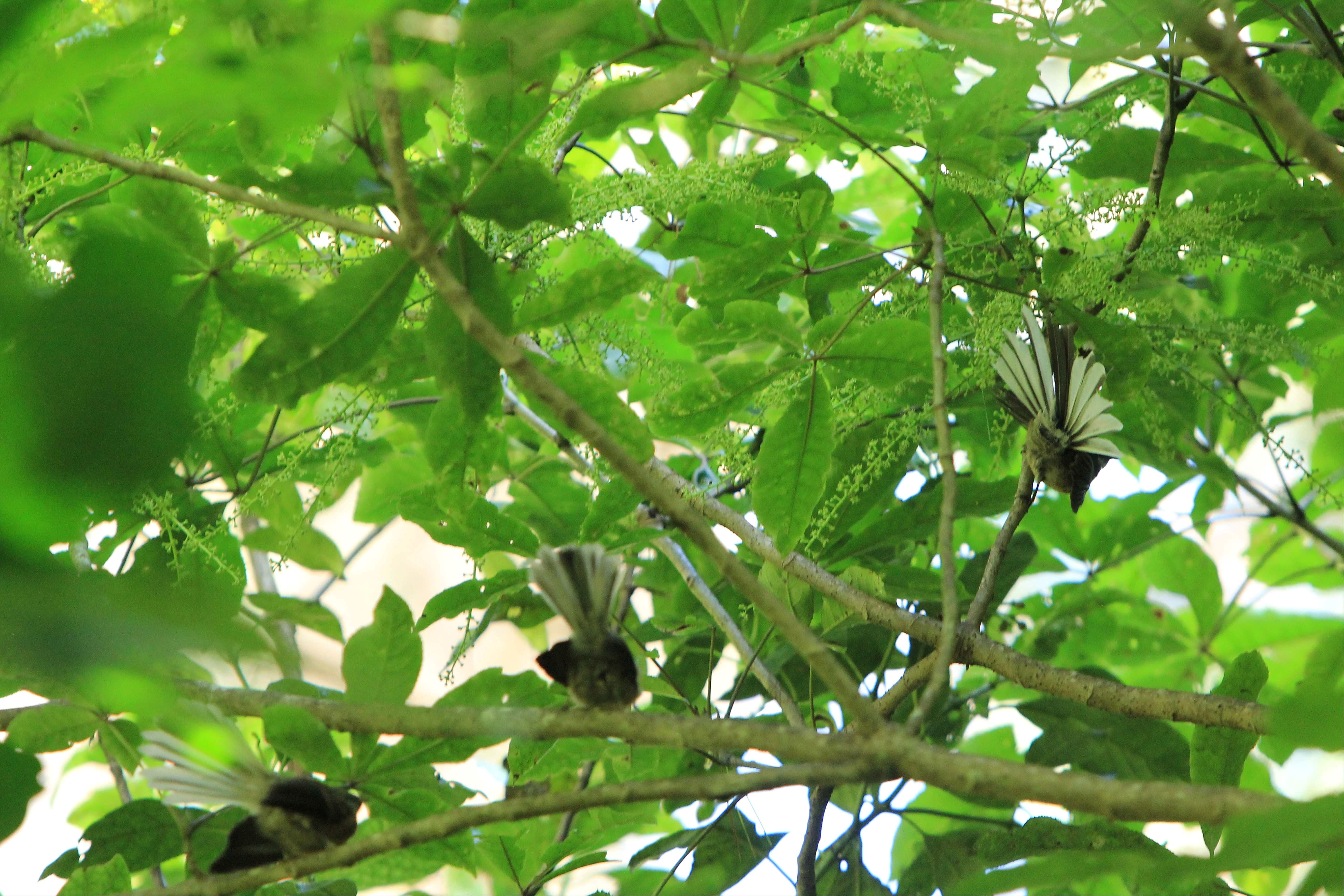
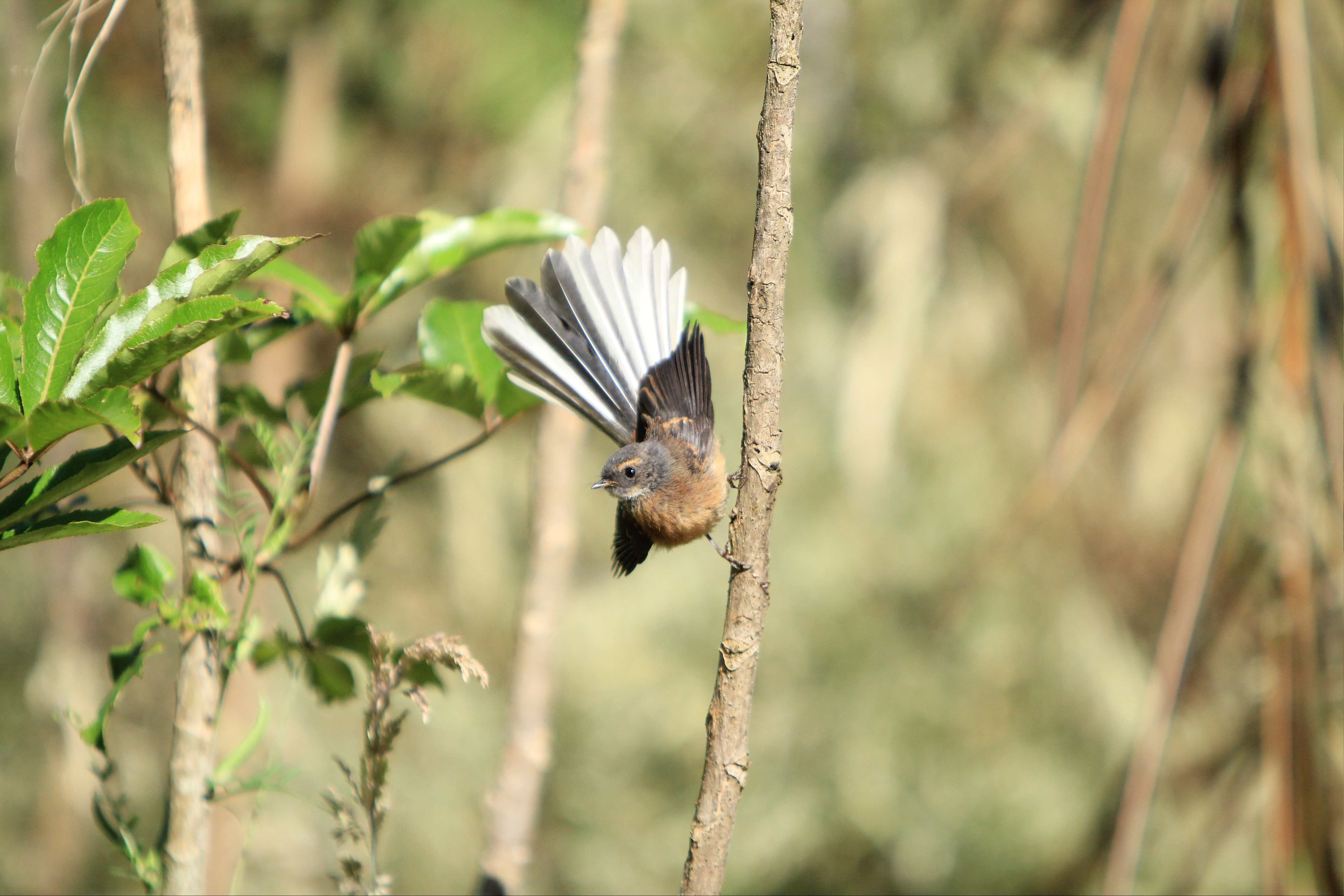
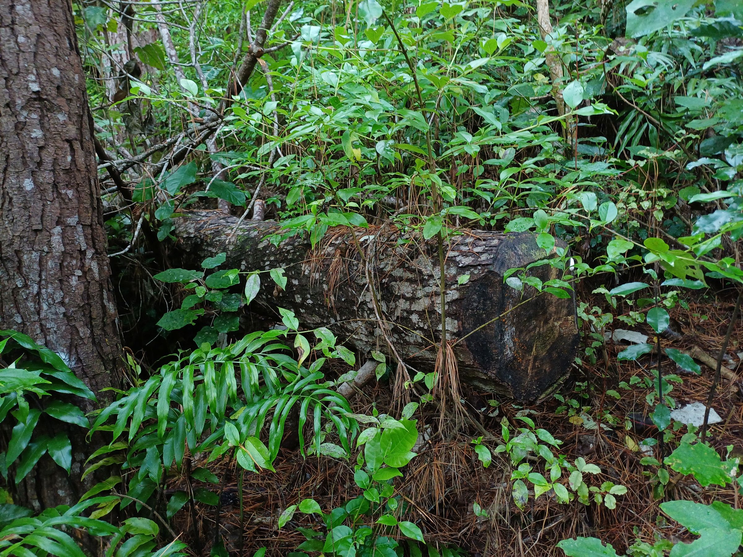
Pīwakawaka 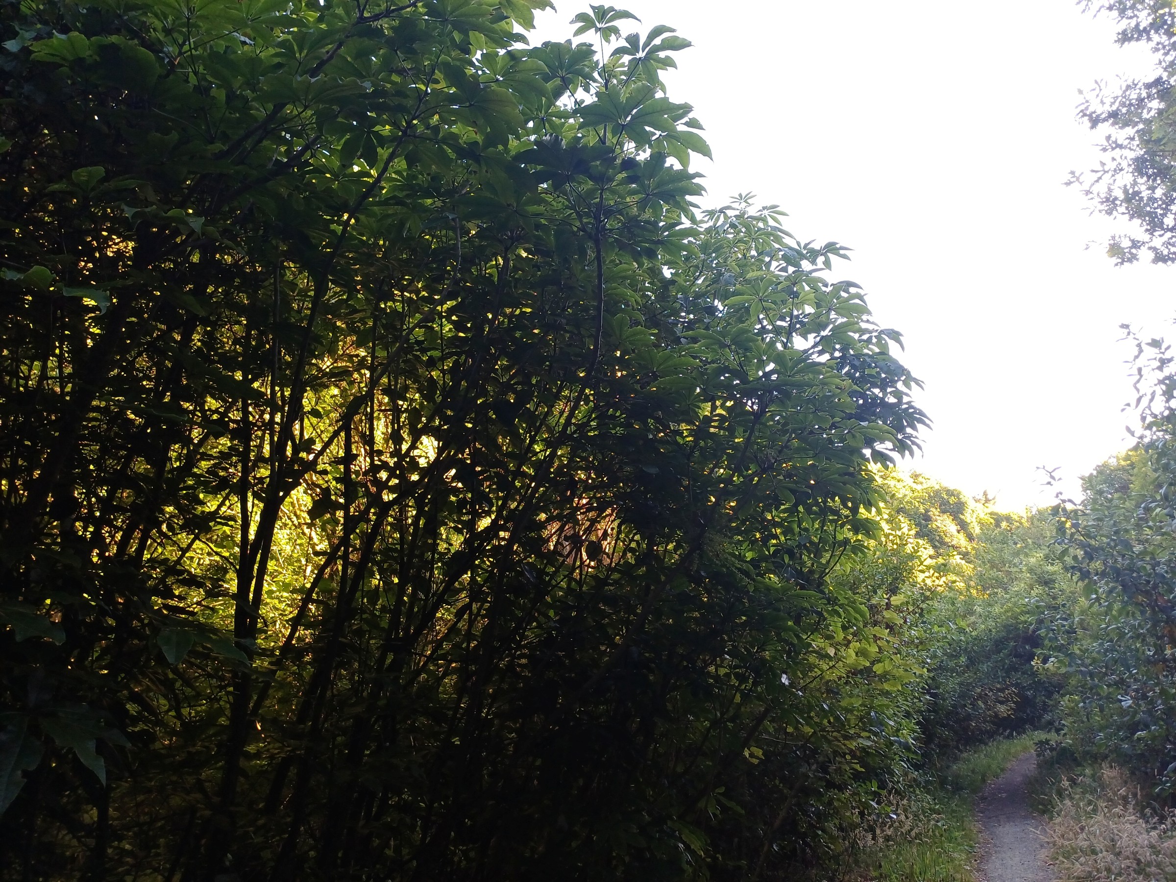
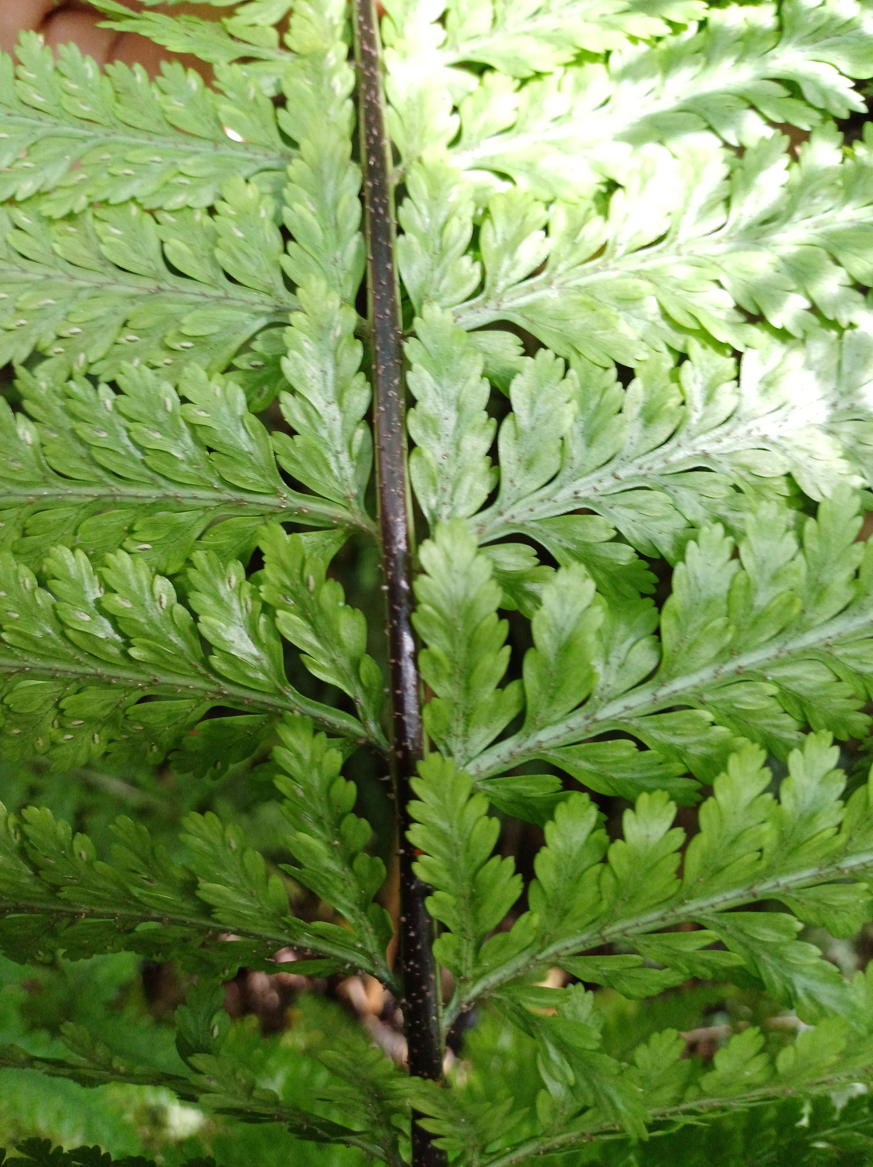
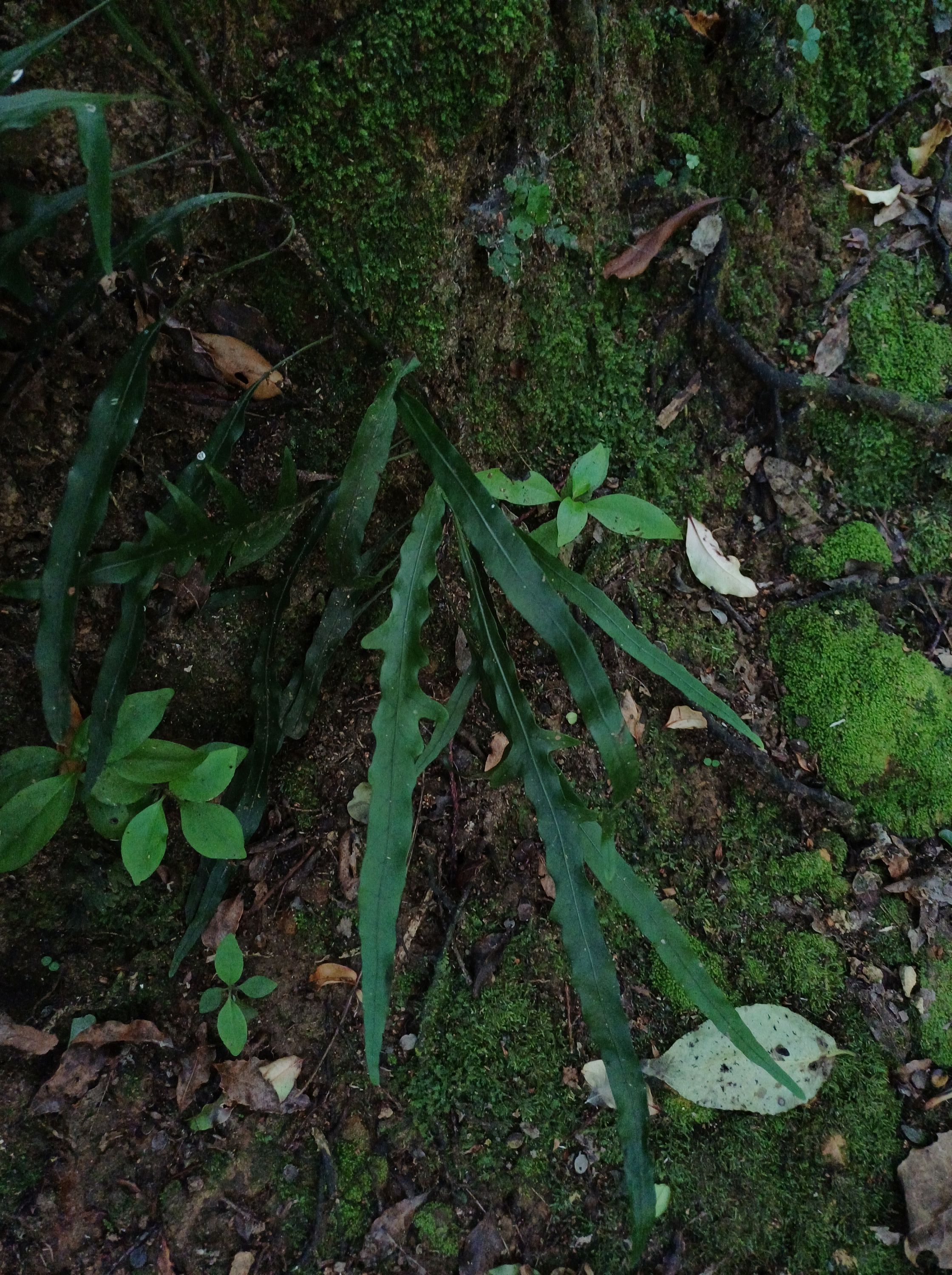
Blechnum filiforme 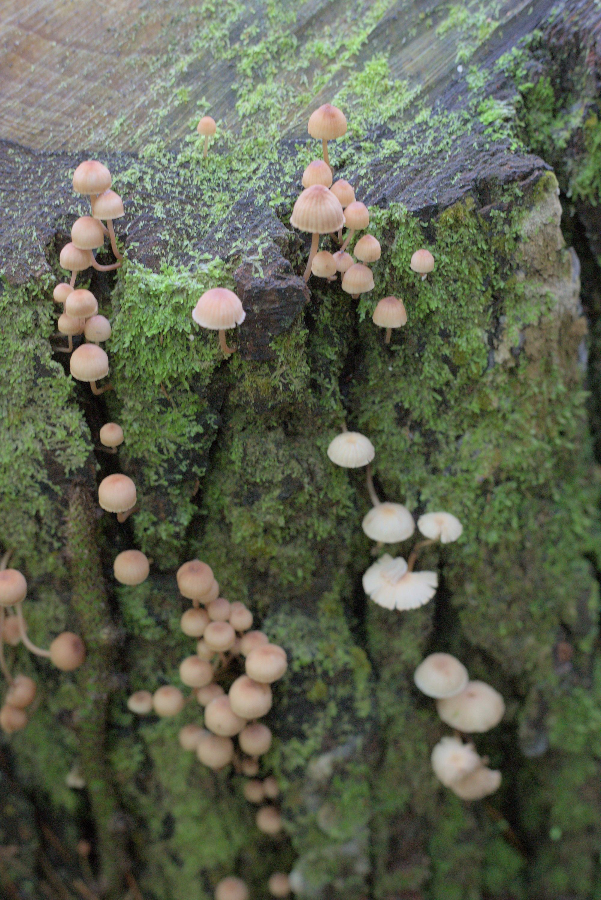


Rereti 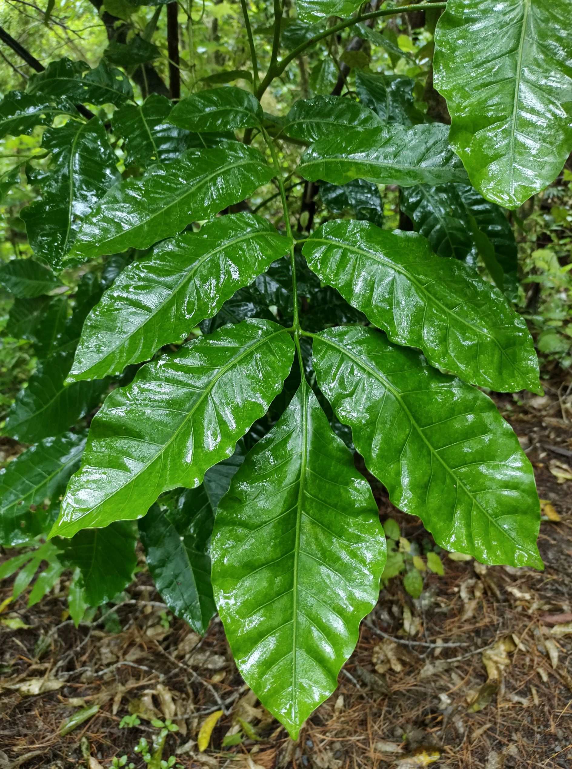
Kohekohe 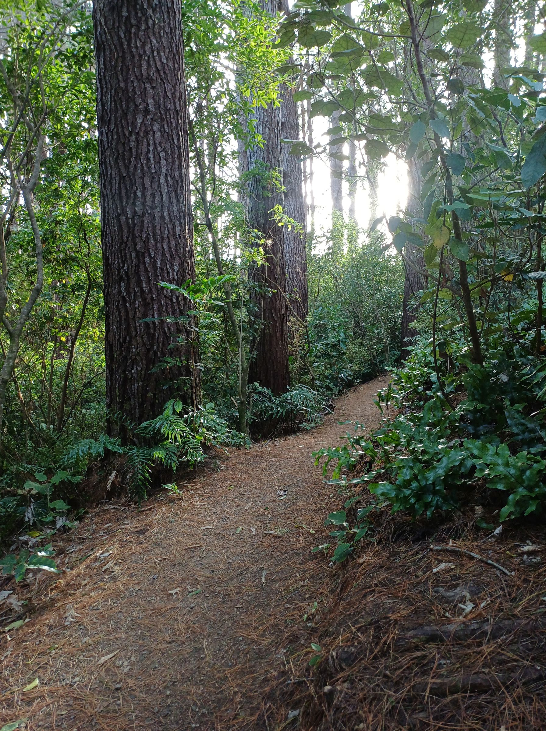
Pigeonwood 
Poroporo 


Makomako 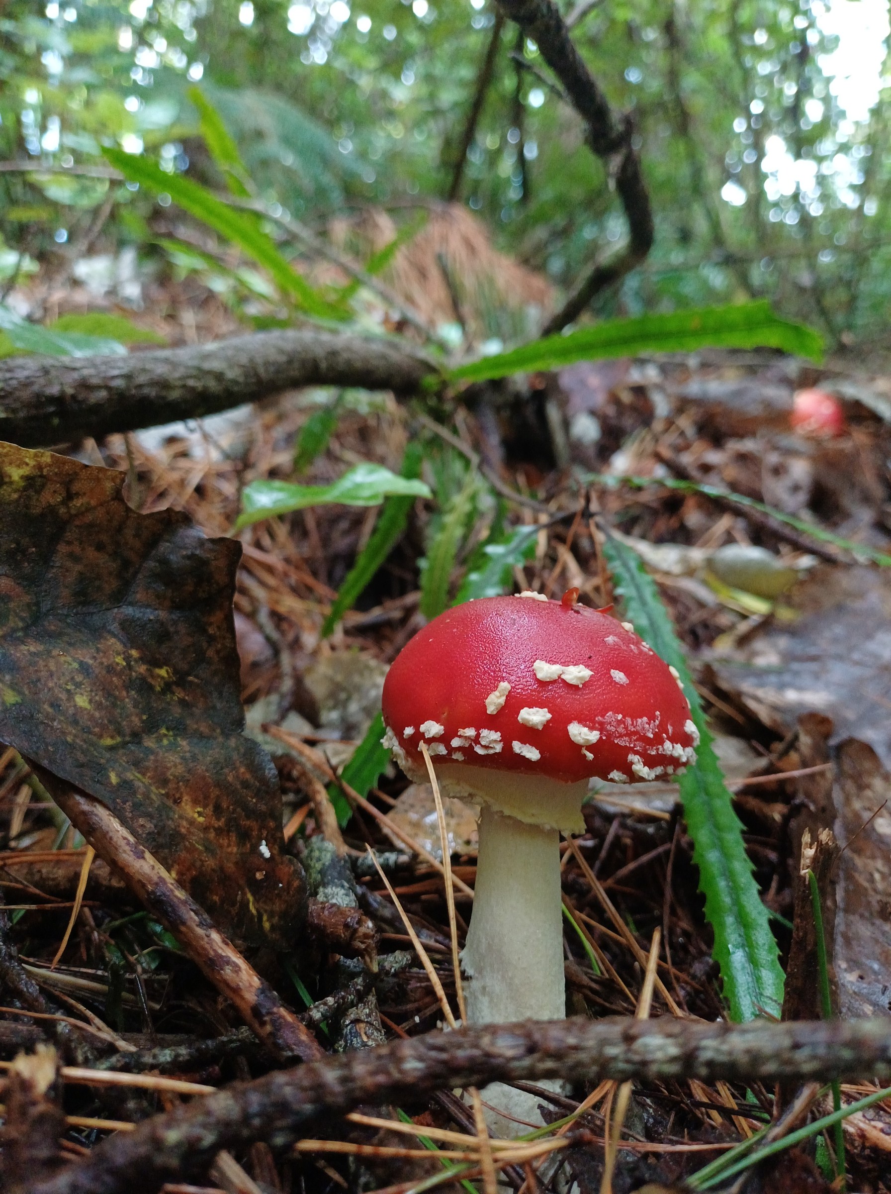
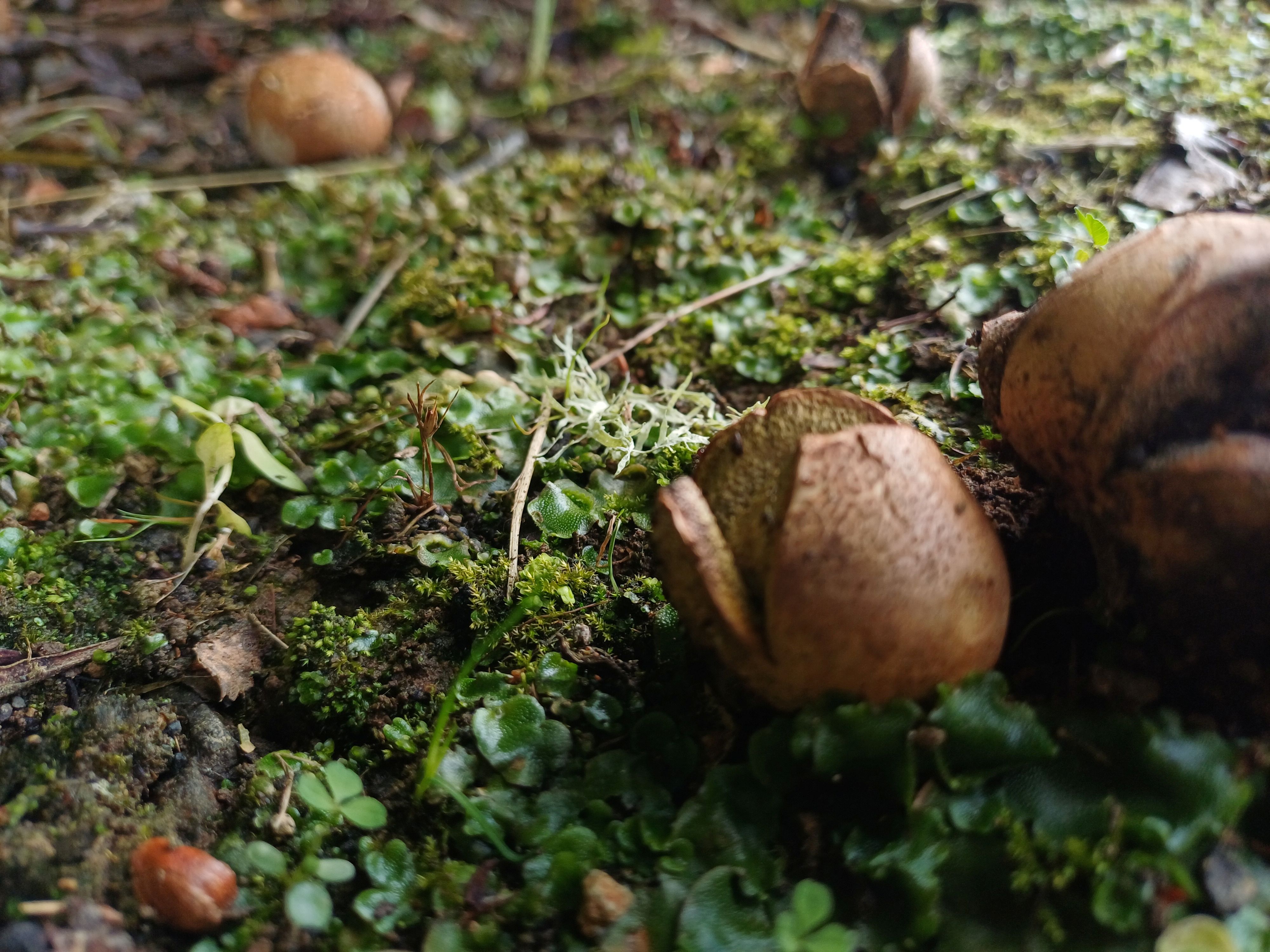
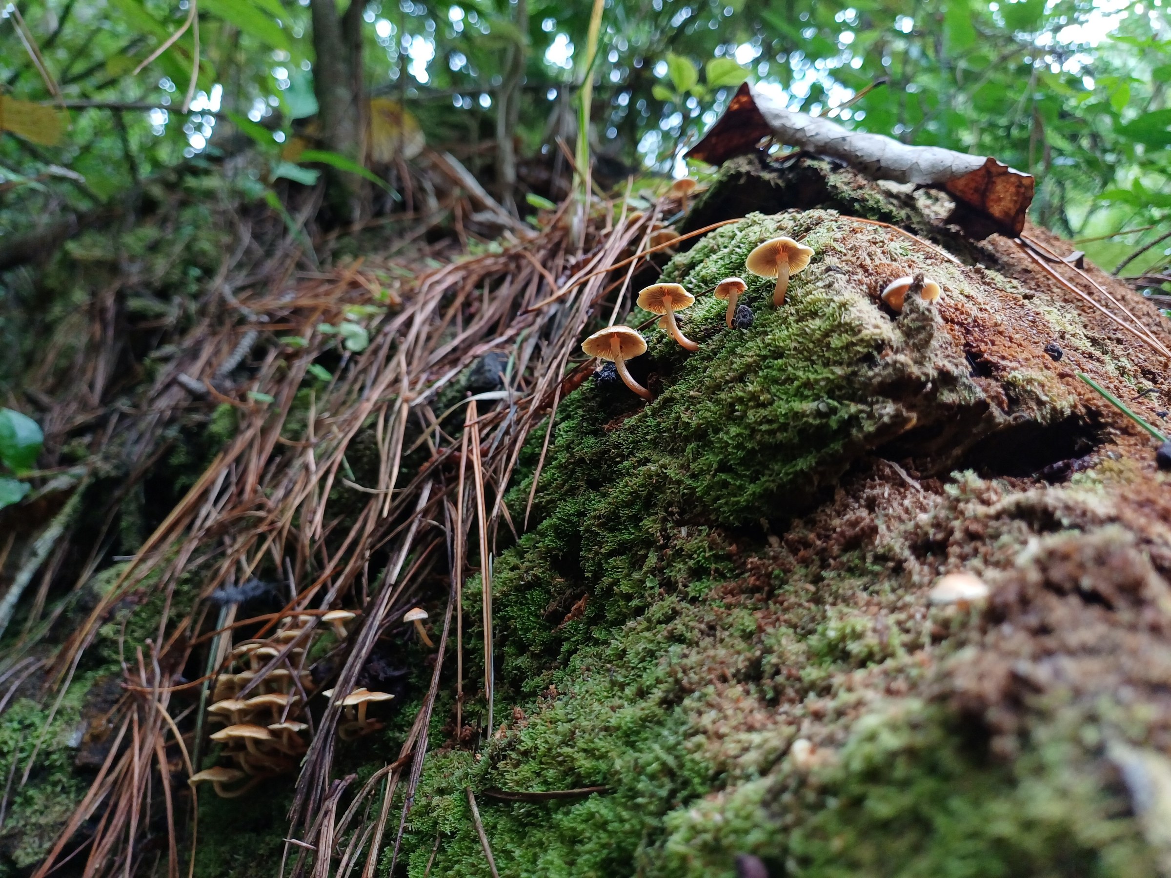
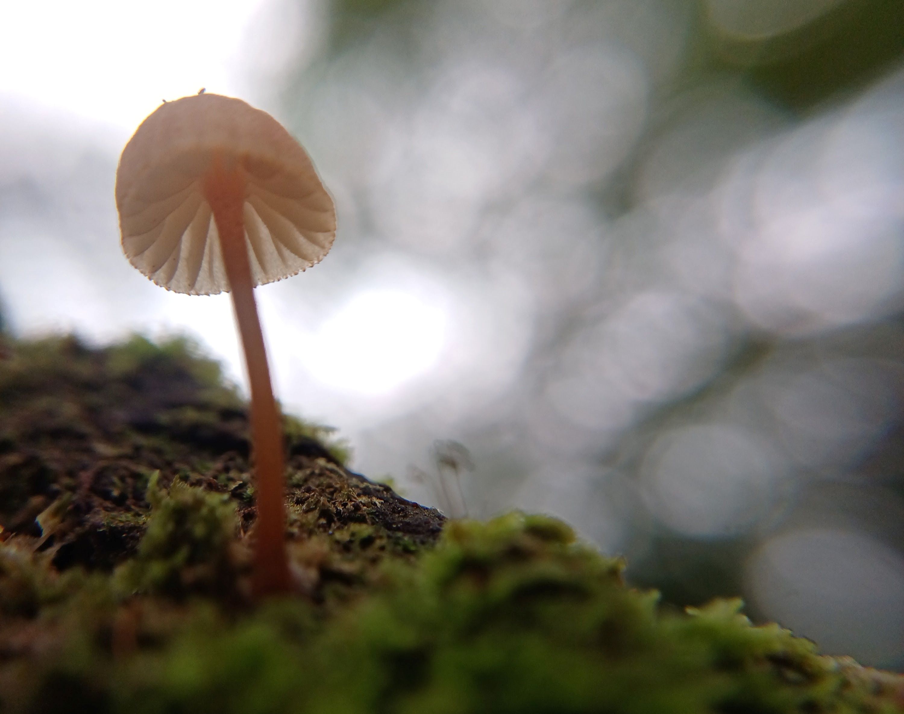
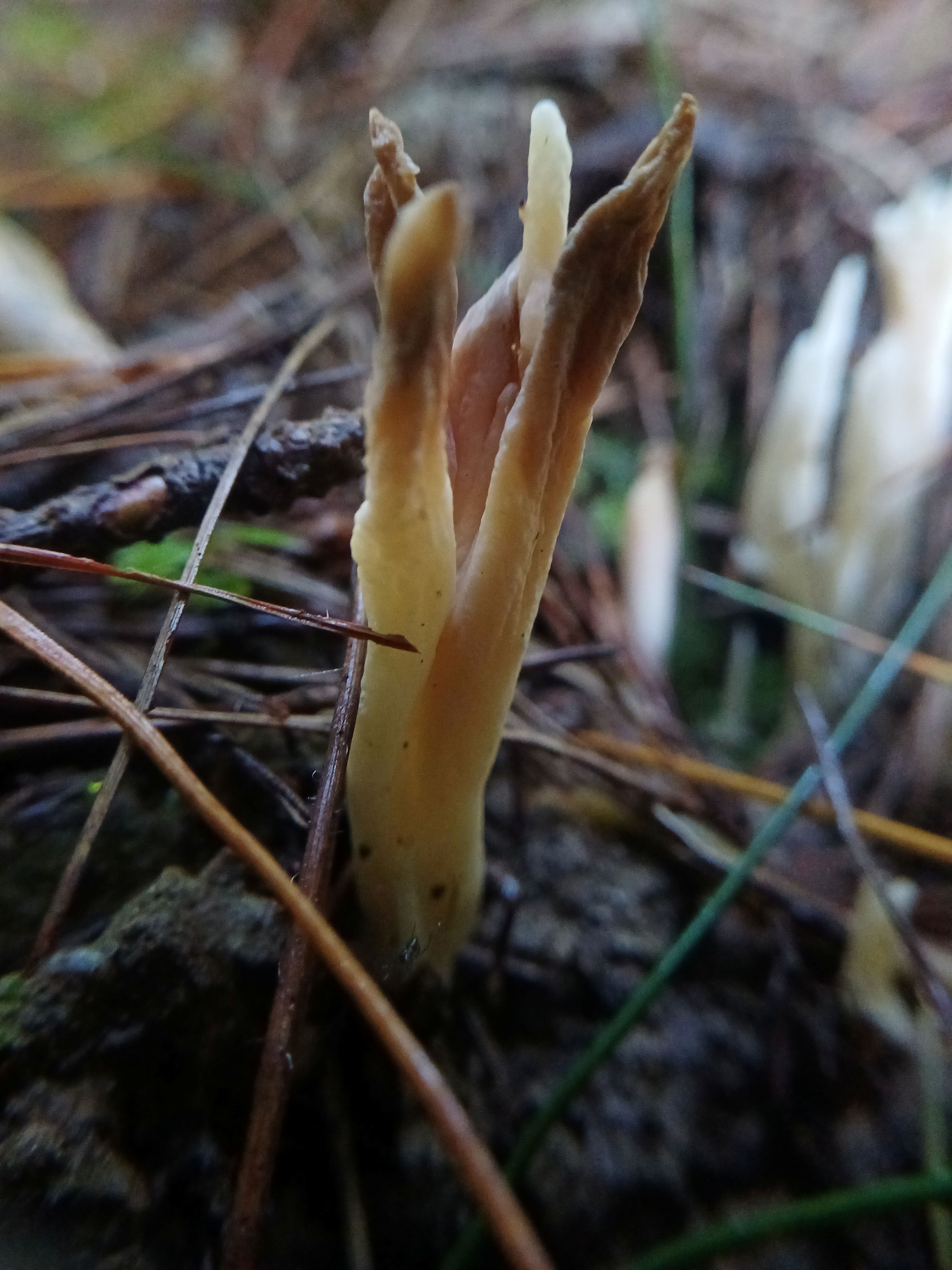
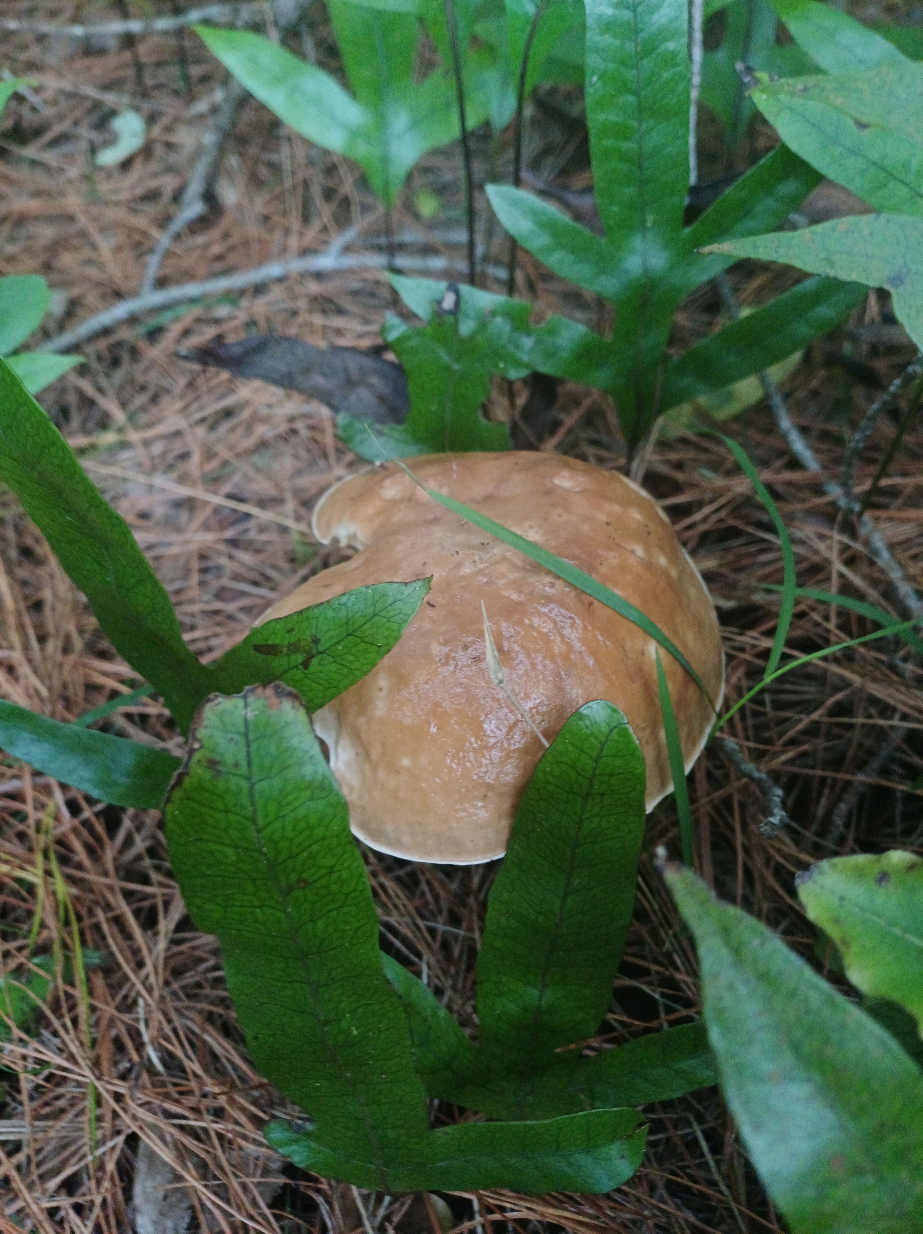
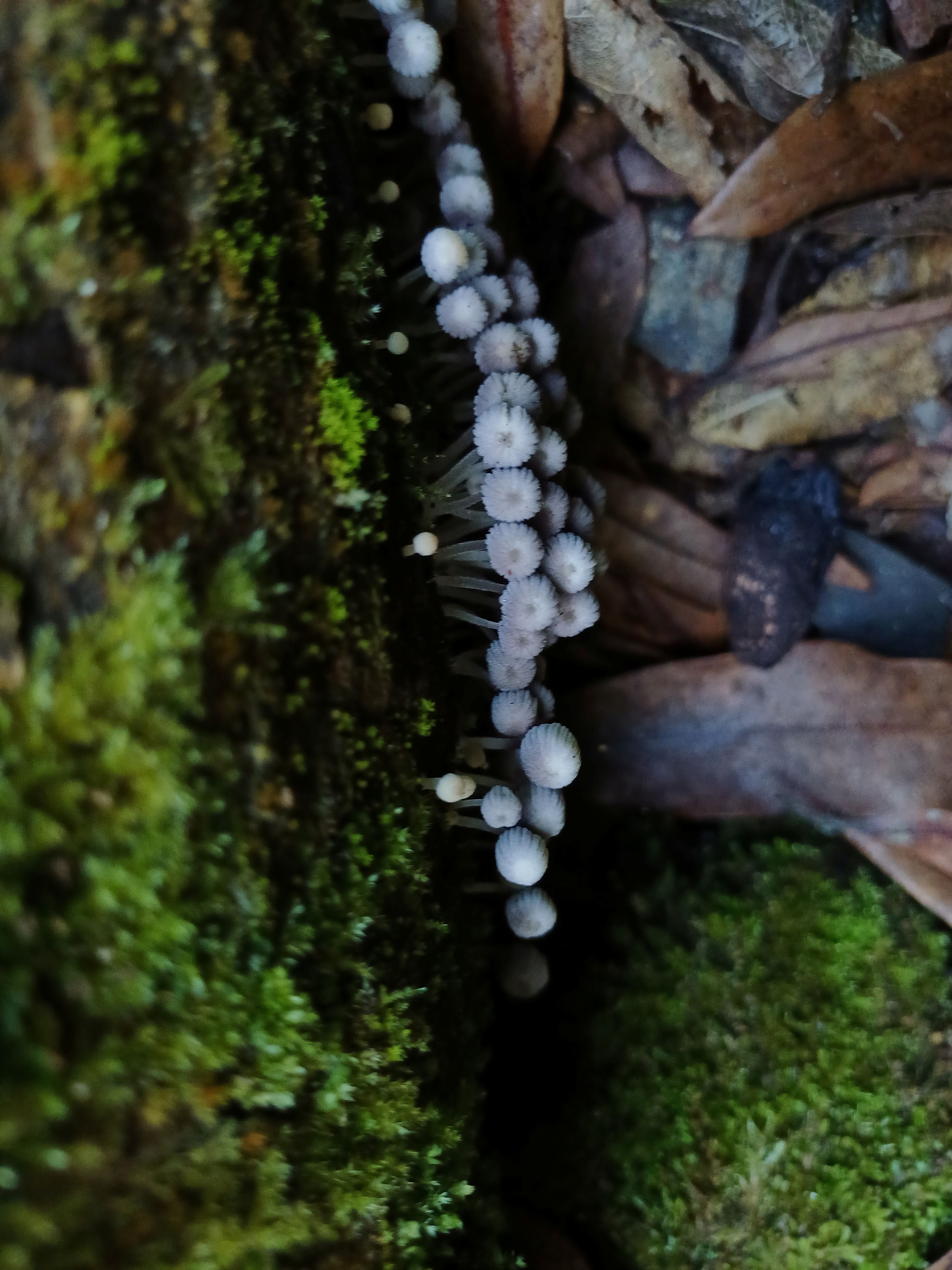
Fly agaric 

Rereti 
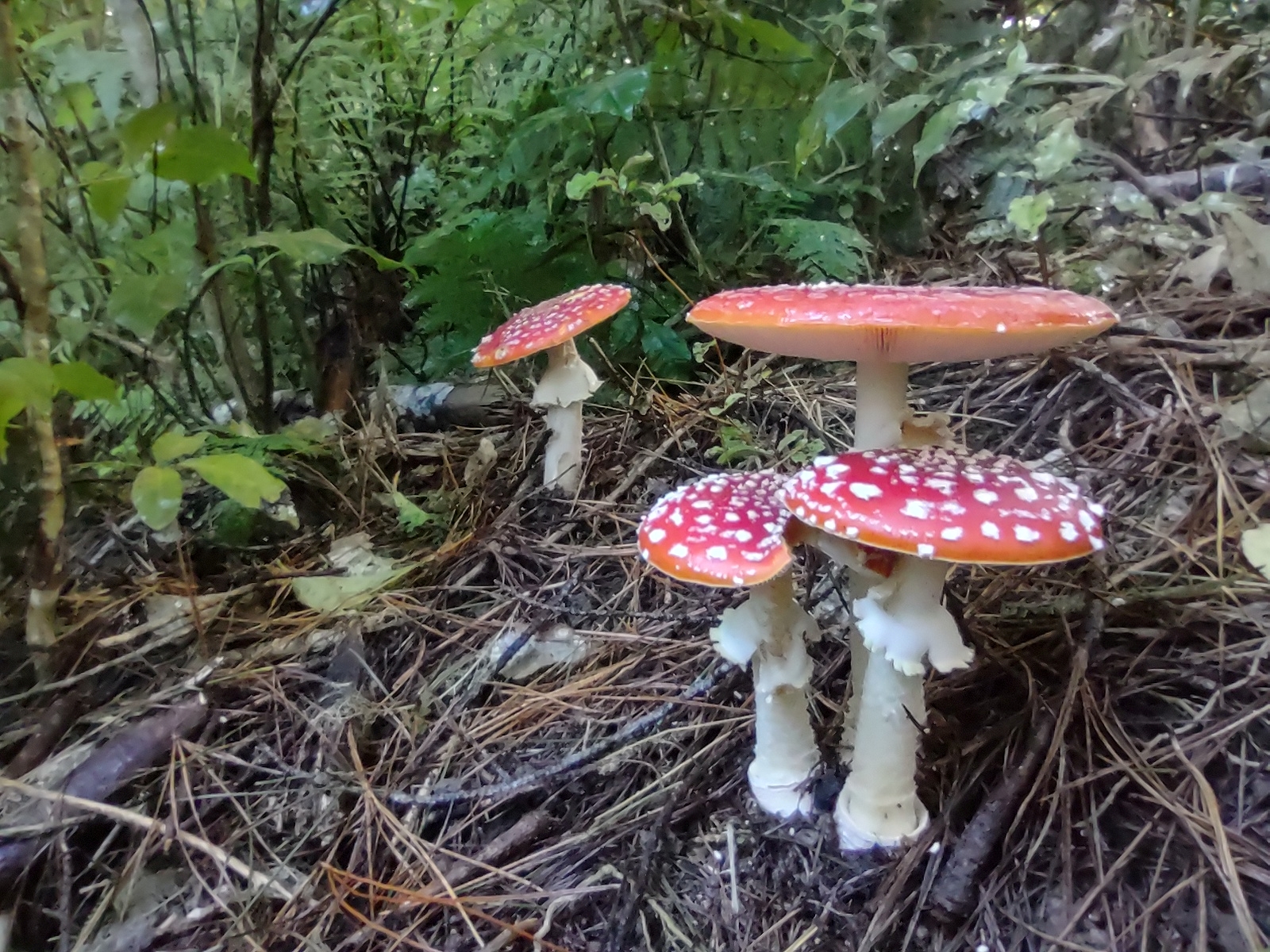
Fly agaric group 
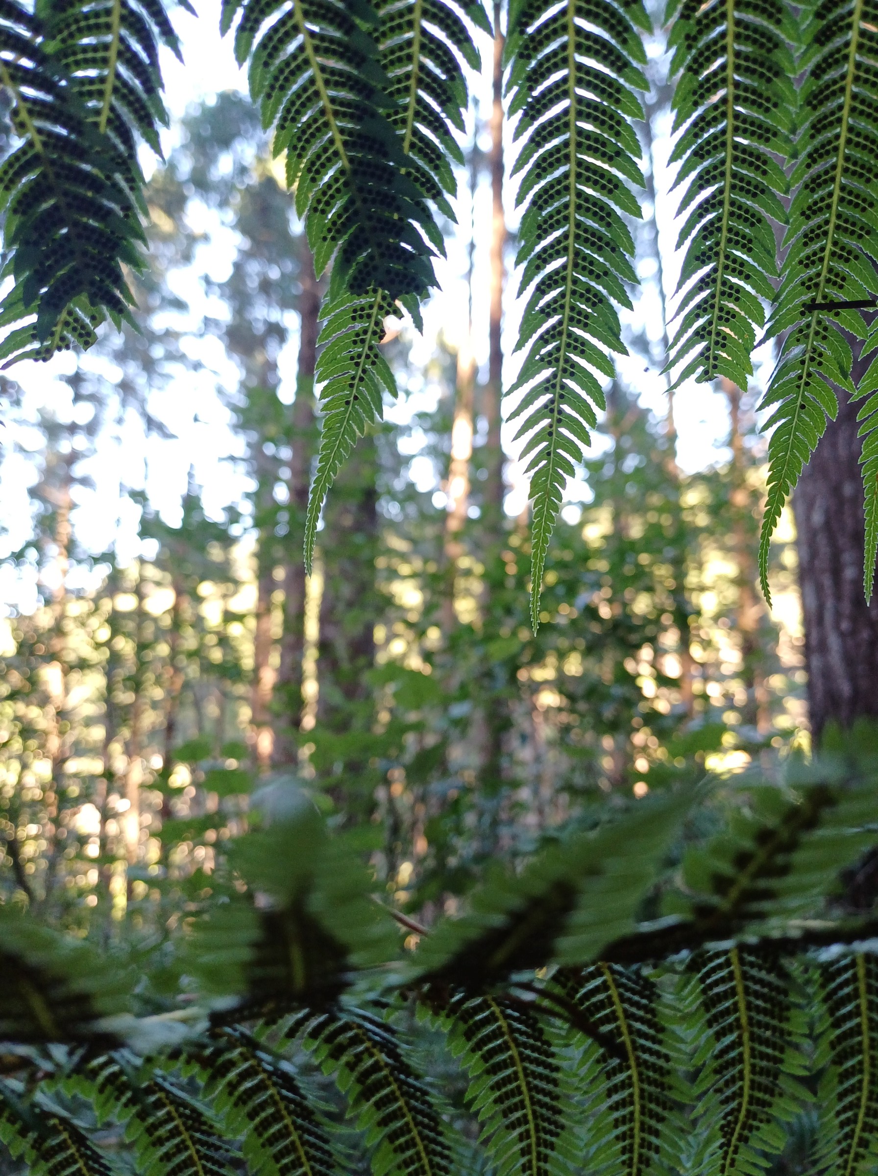
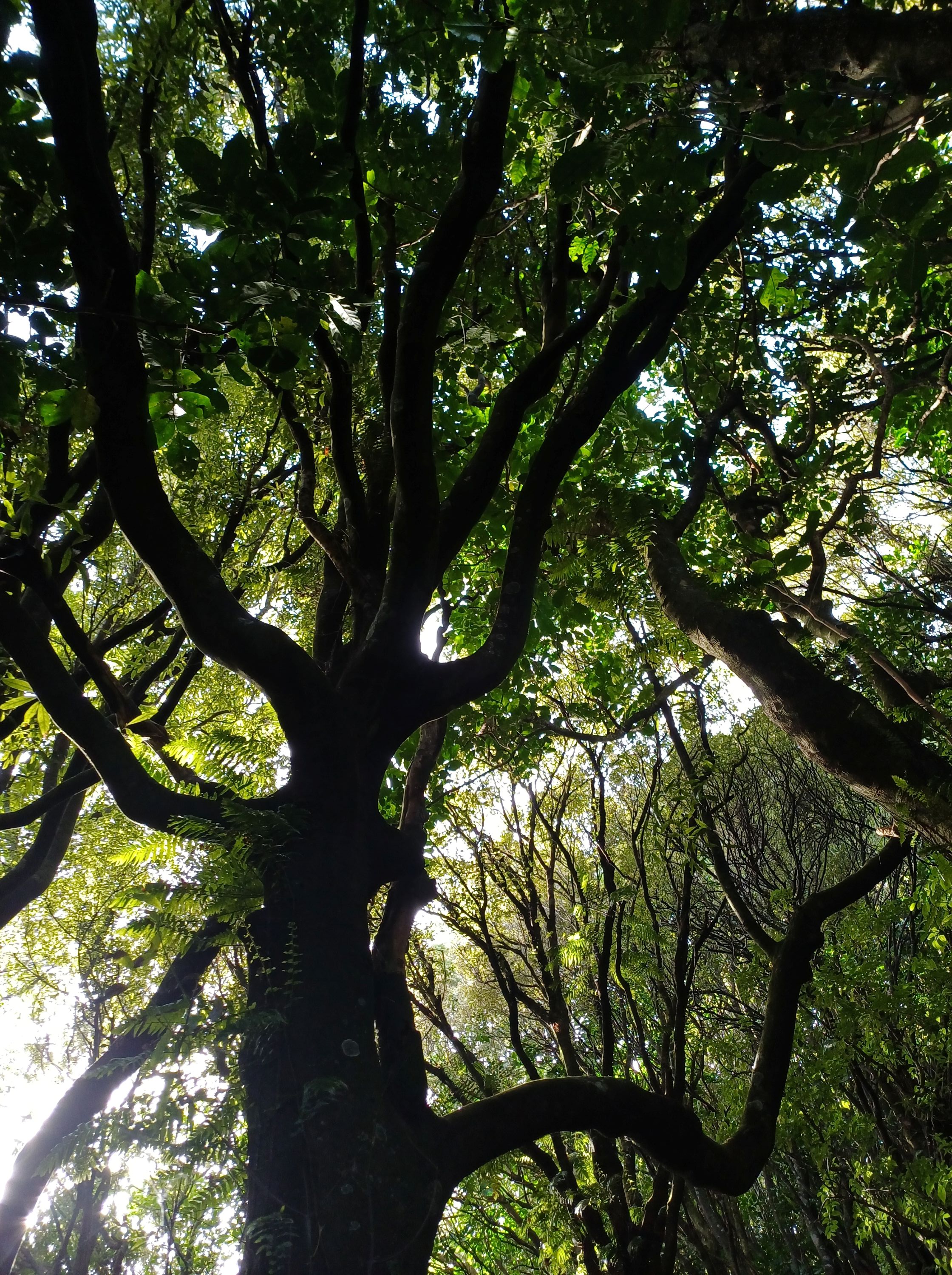
Forest floor Rewarewa entrance track 

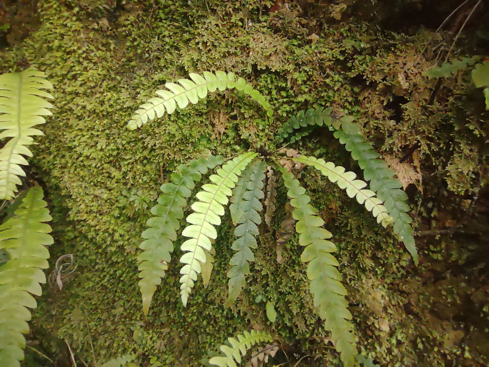
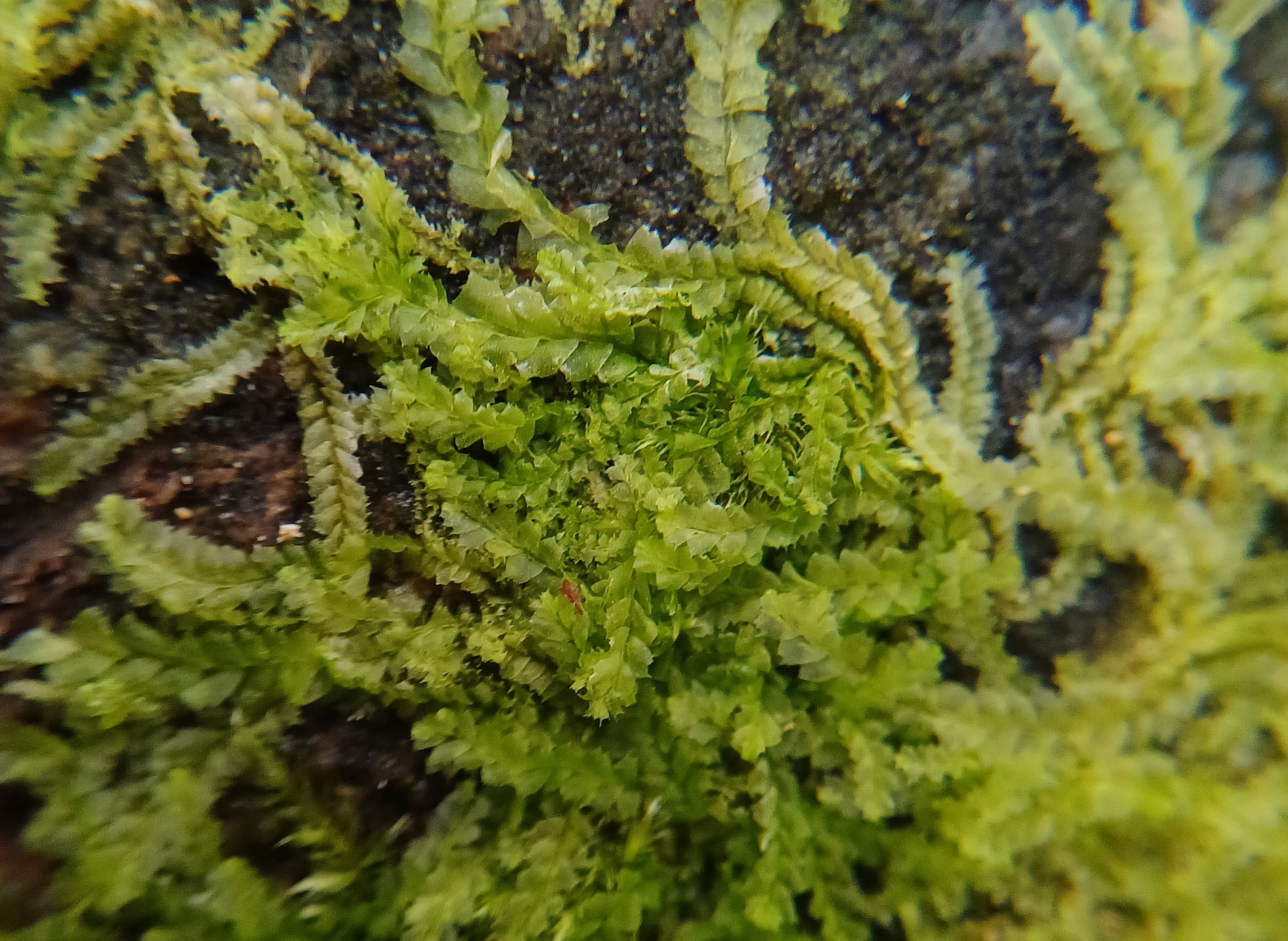
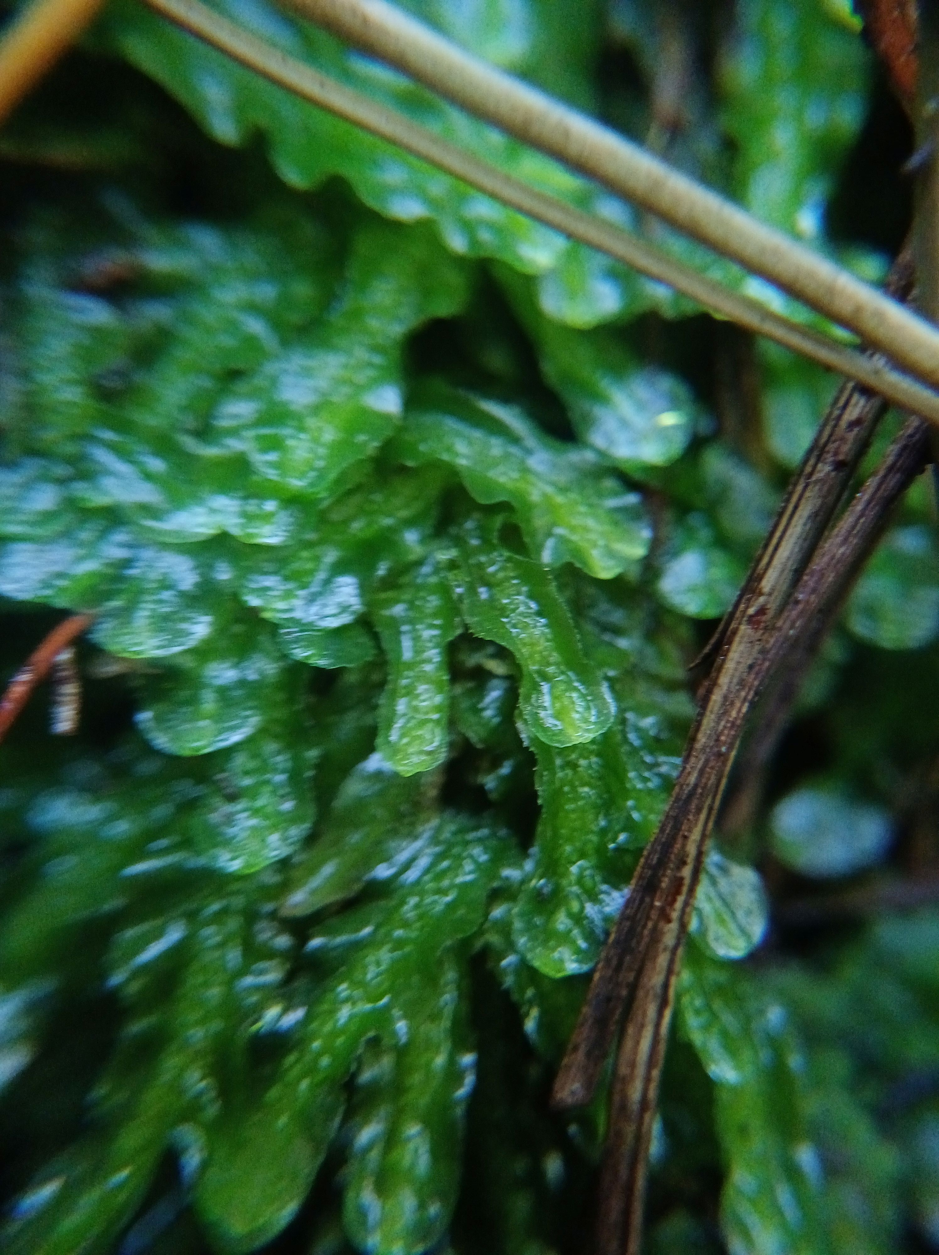
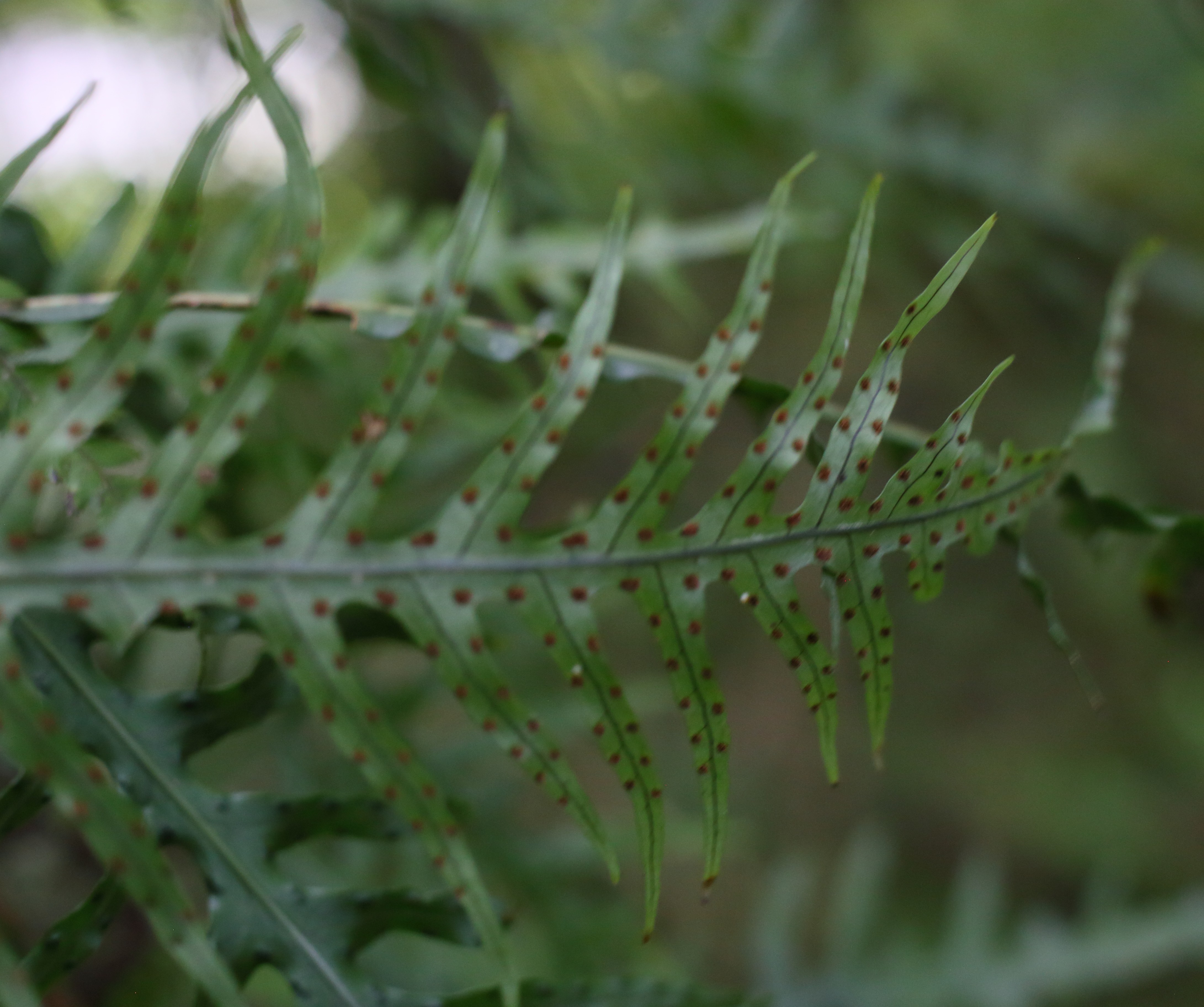
Shining Spleenwort 


Hound’s tongue on stump 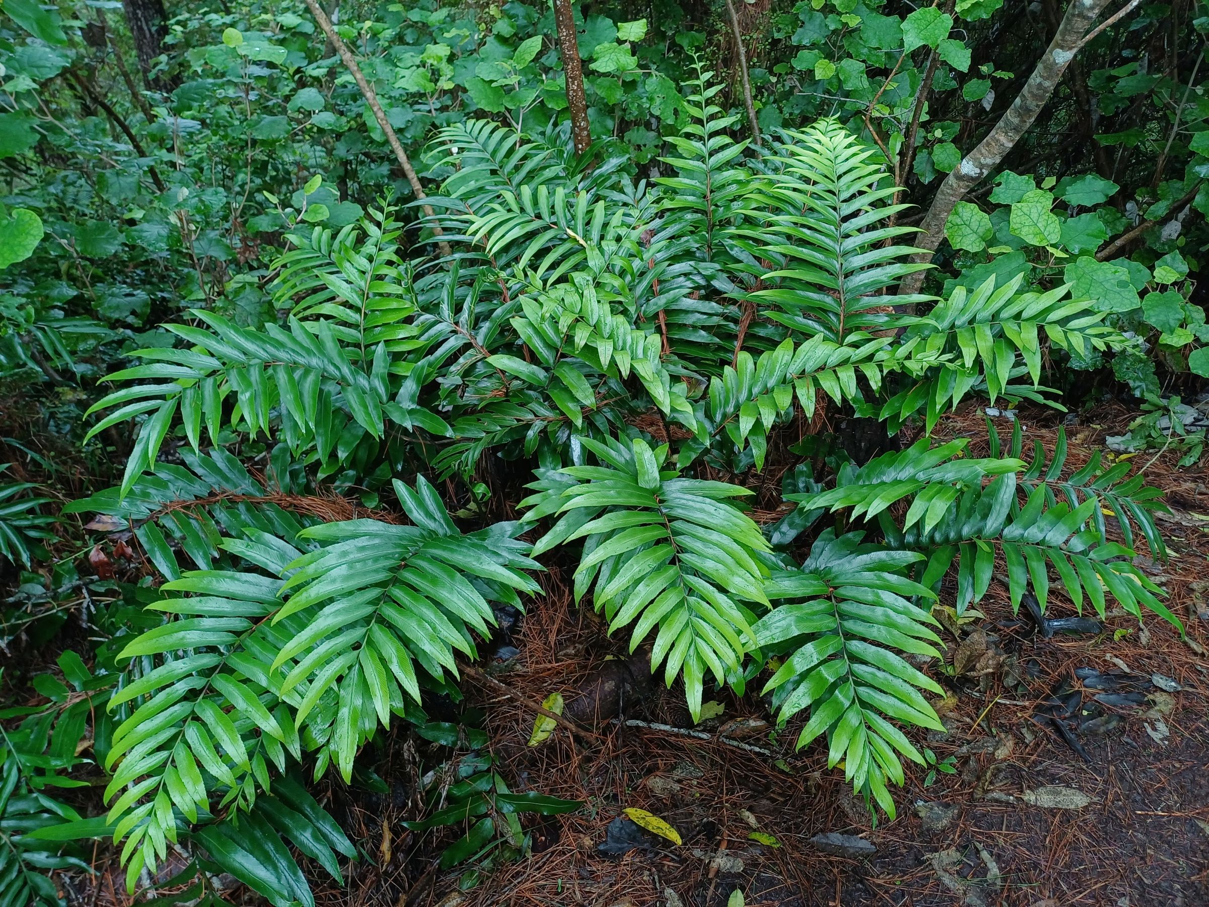
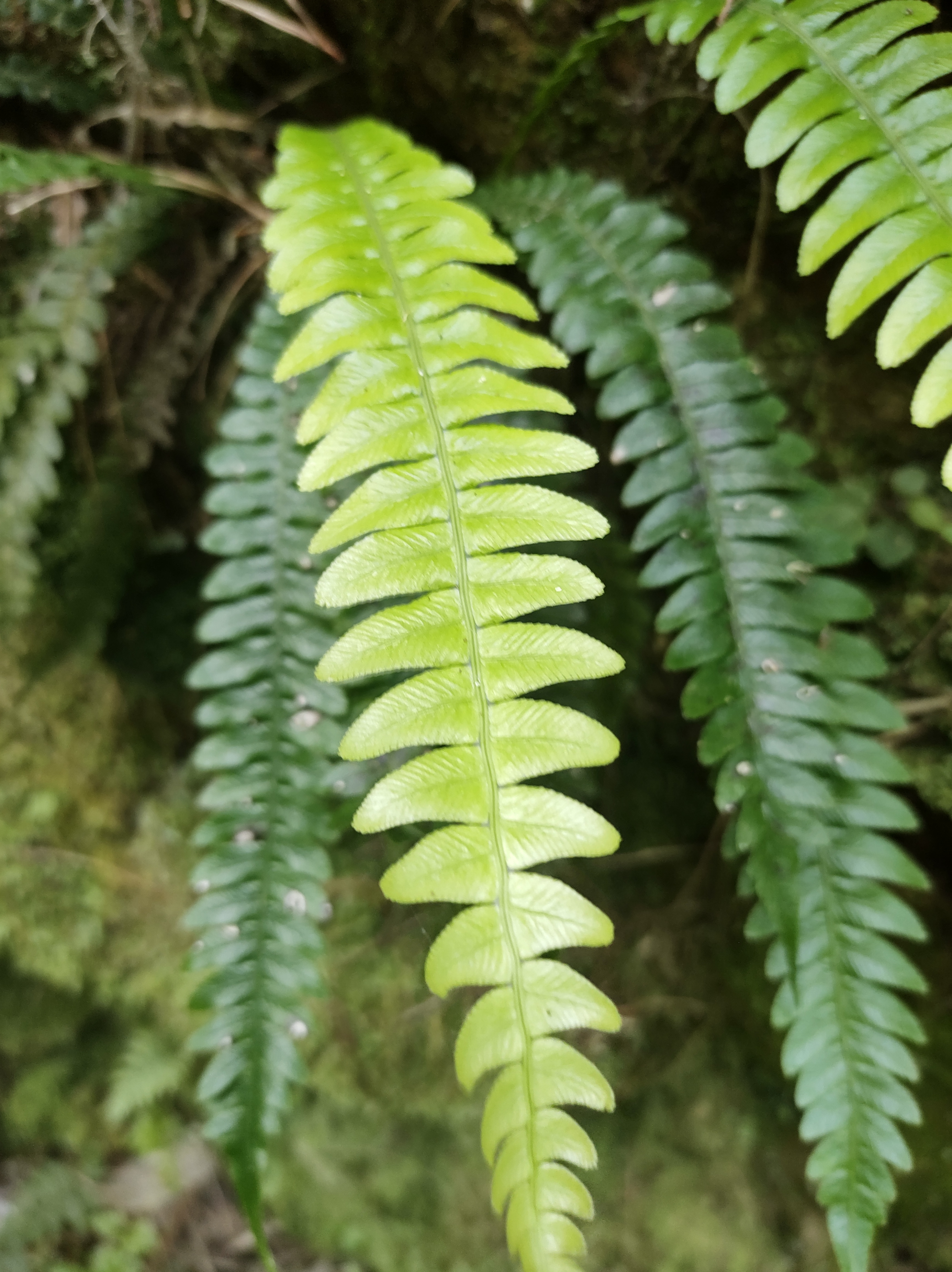
huruhuruwhenua 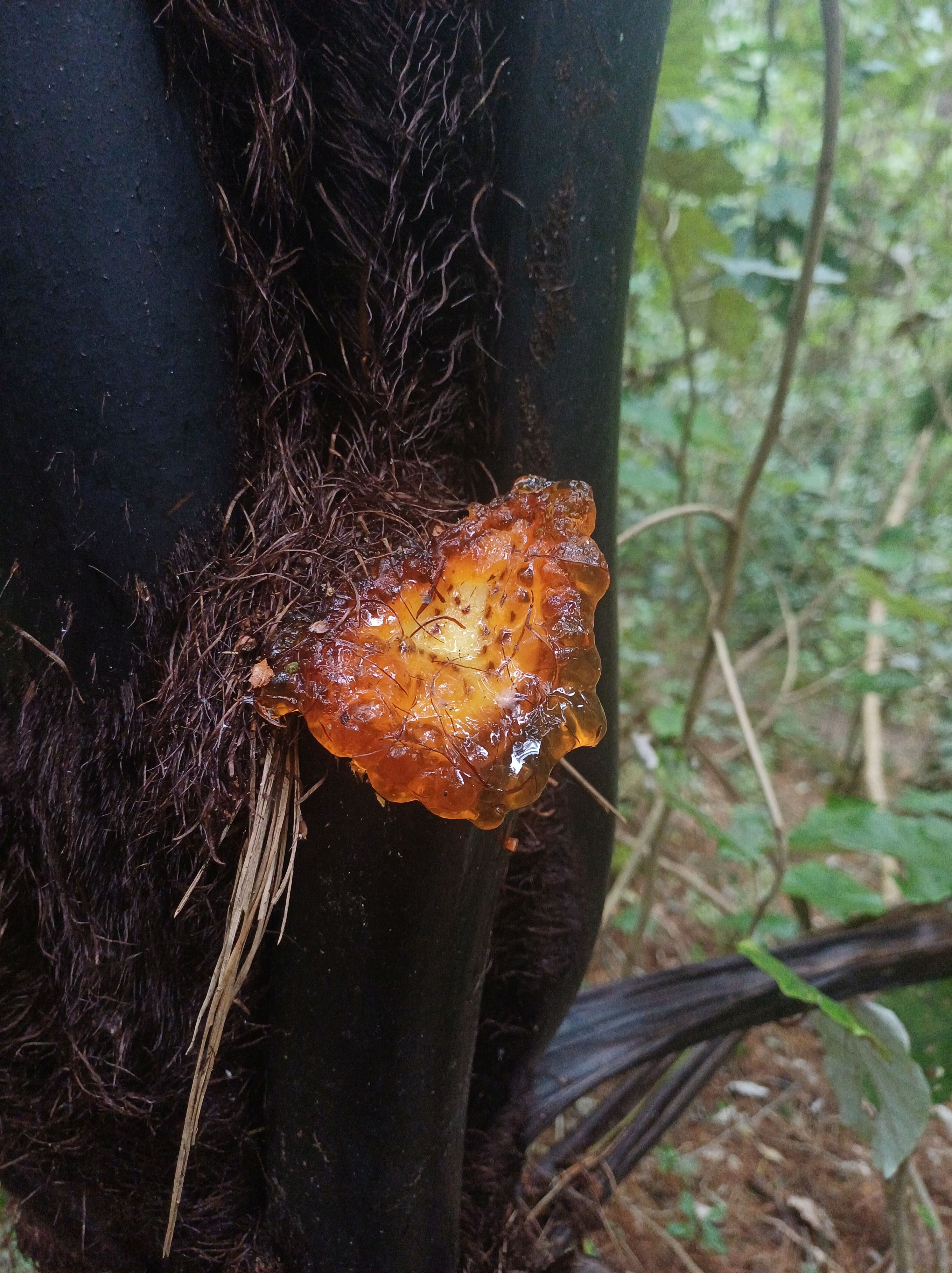
sap on a mamaku from trimming around track 

Ponga – Silver fern 
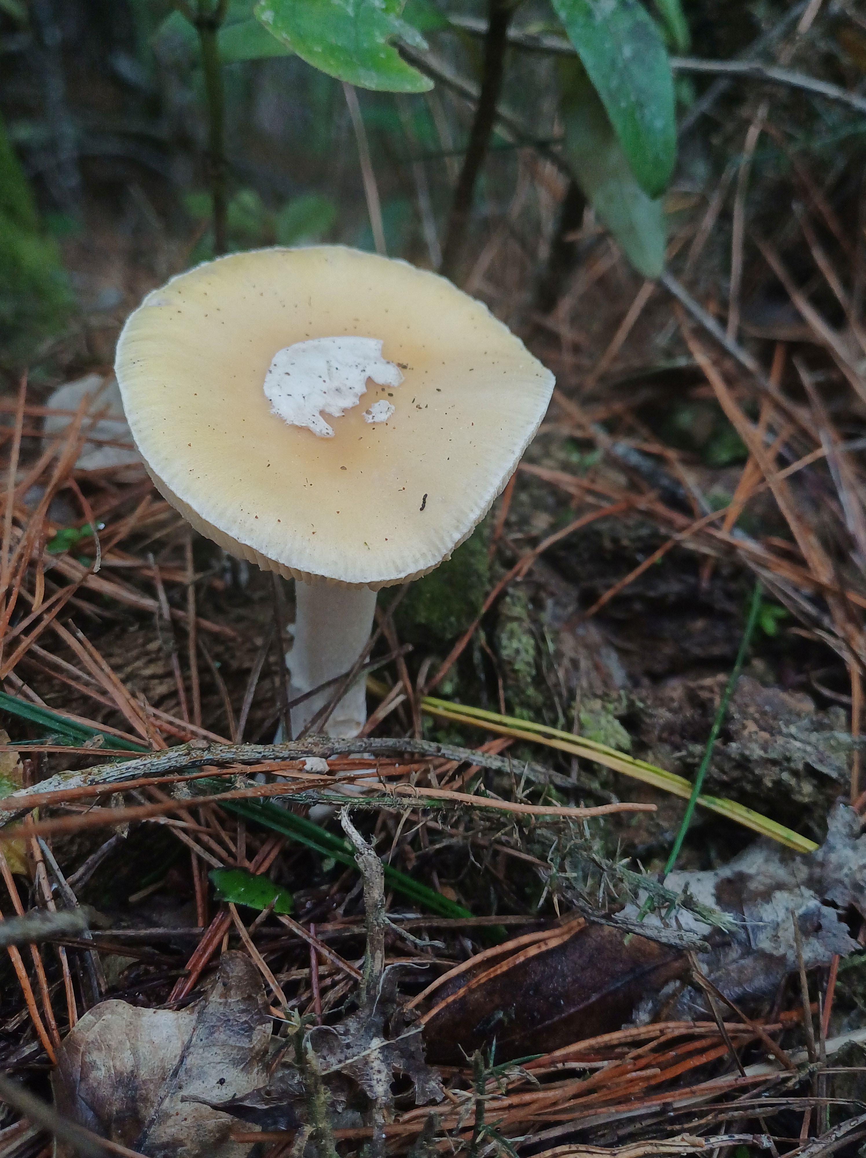
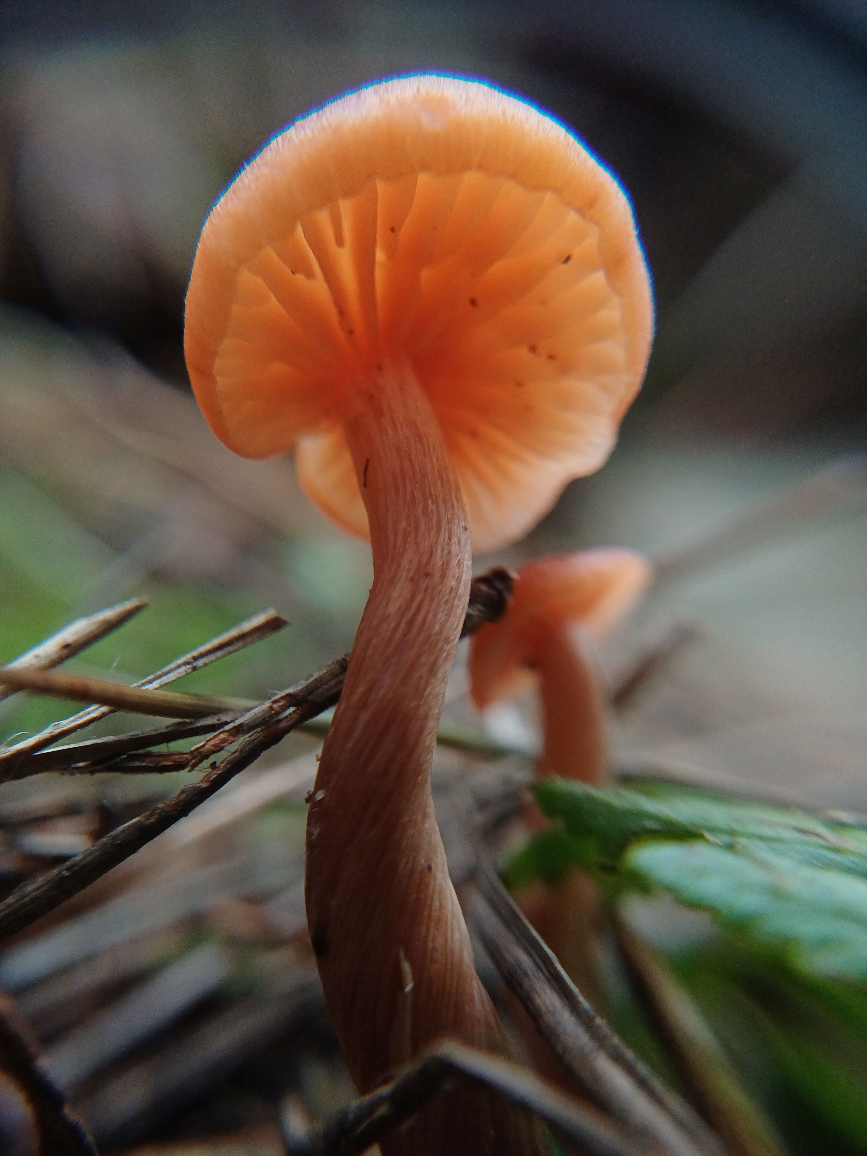
Jewelled Amanita 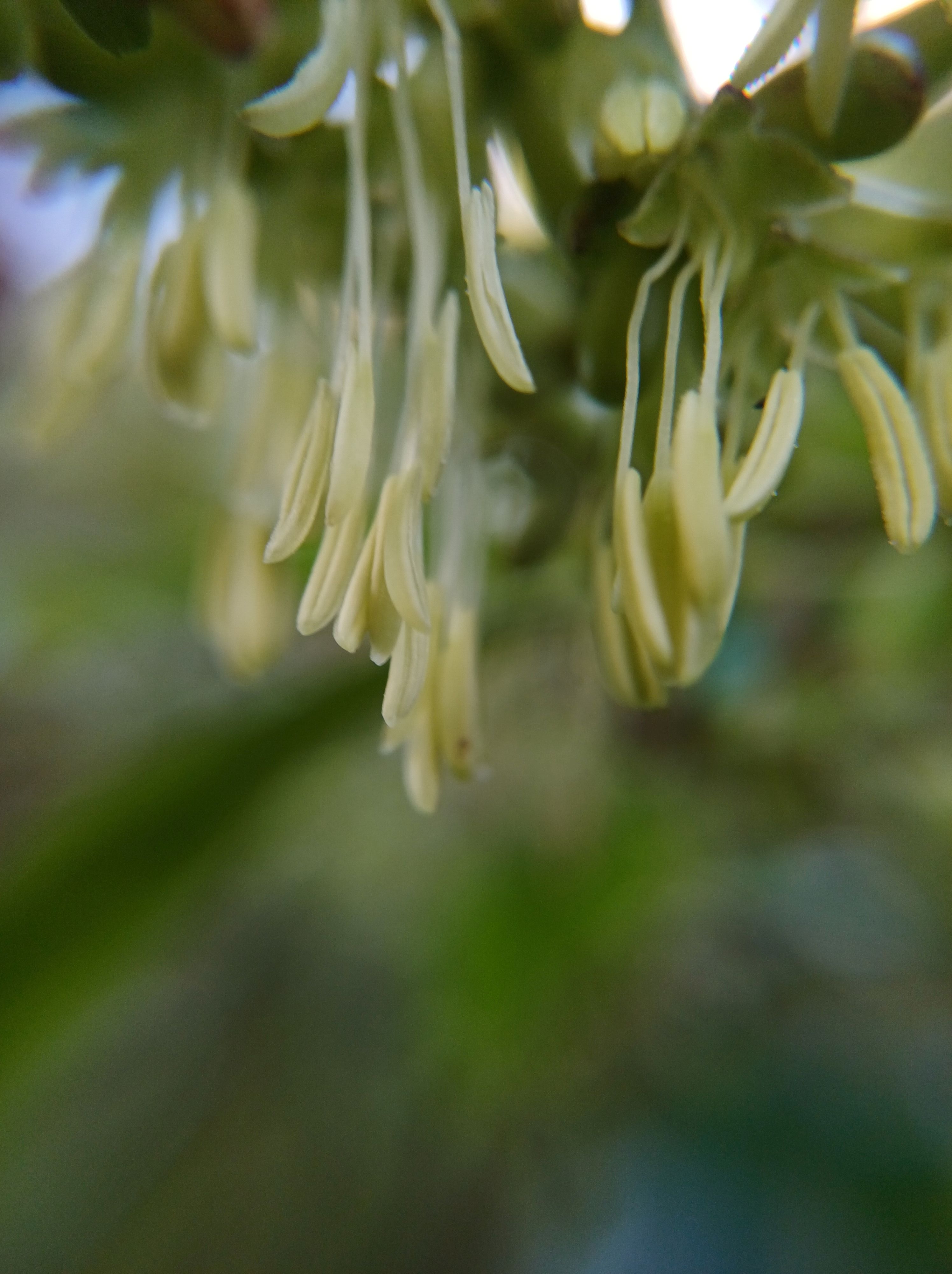
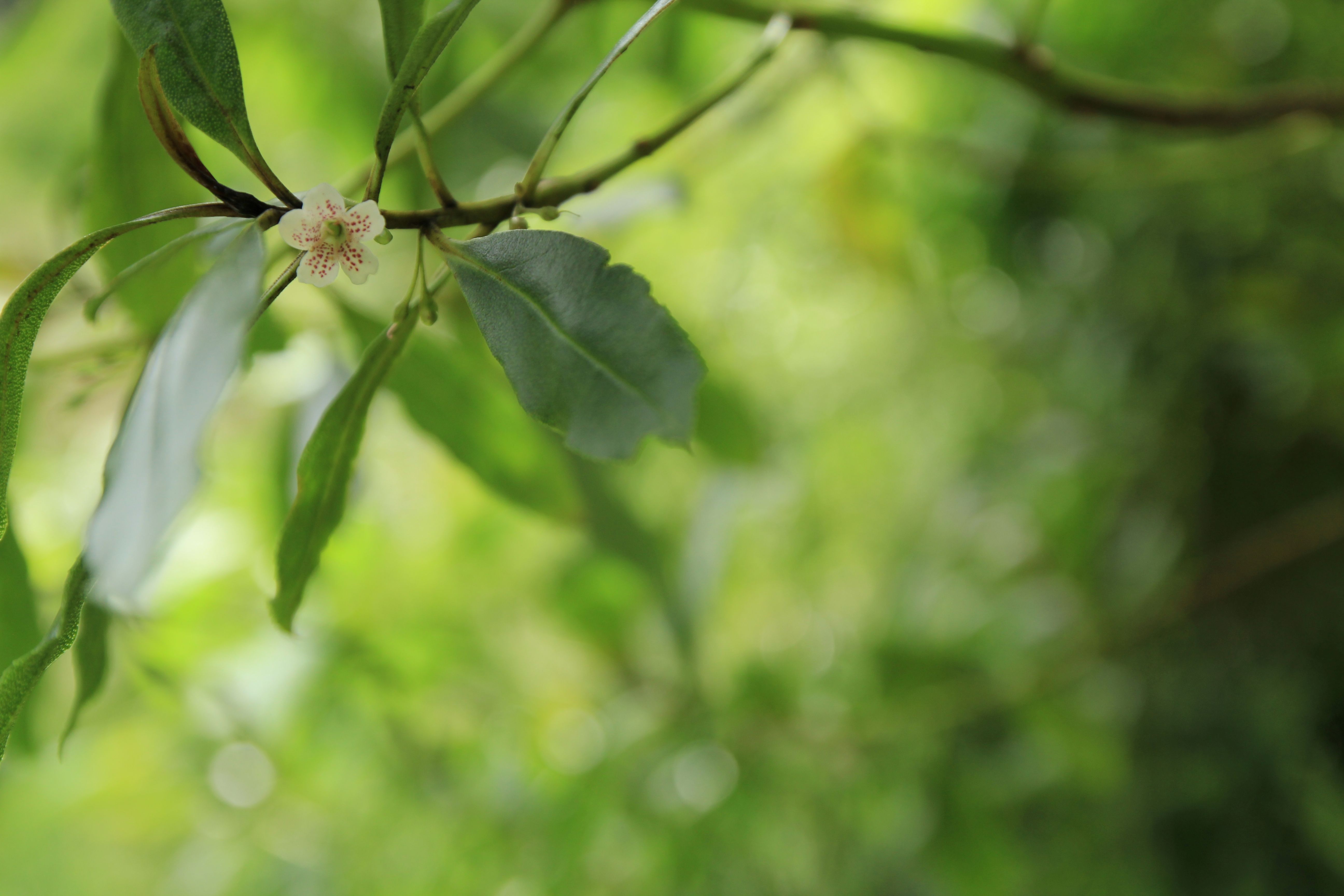
Kanono flowers 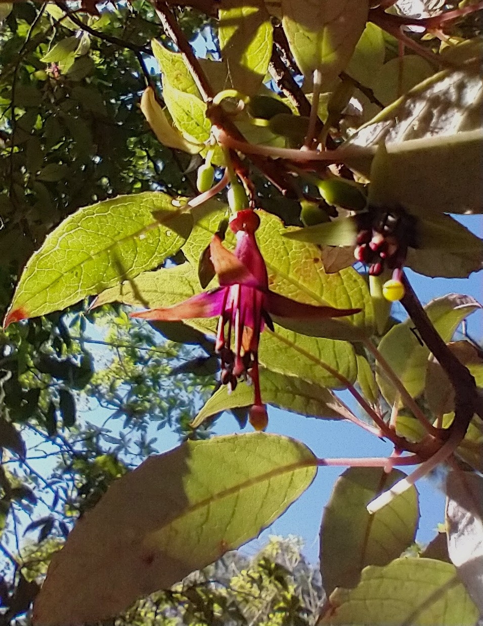
Kōtukutuku flower 
Kanono 
Kawakawa 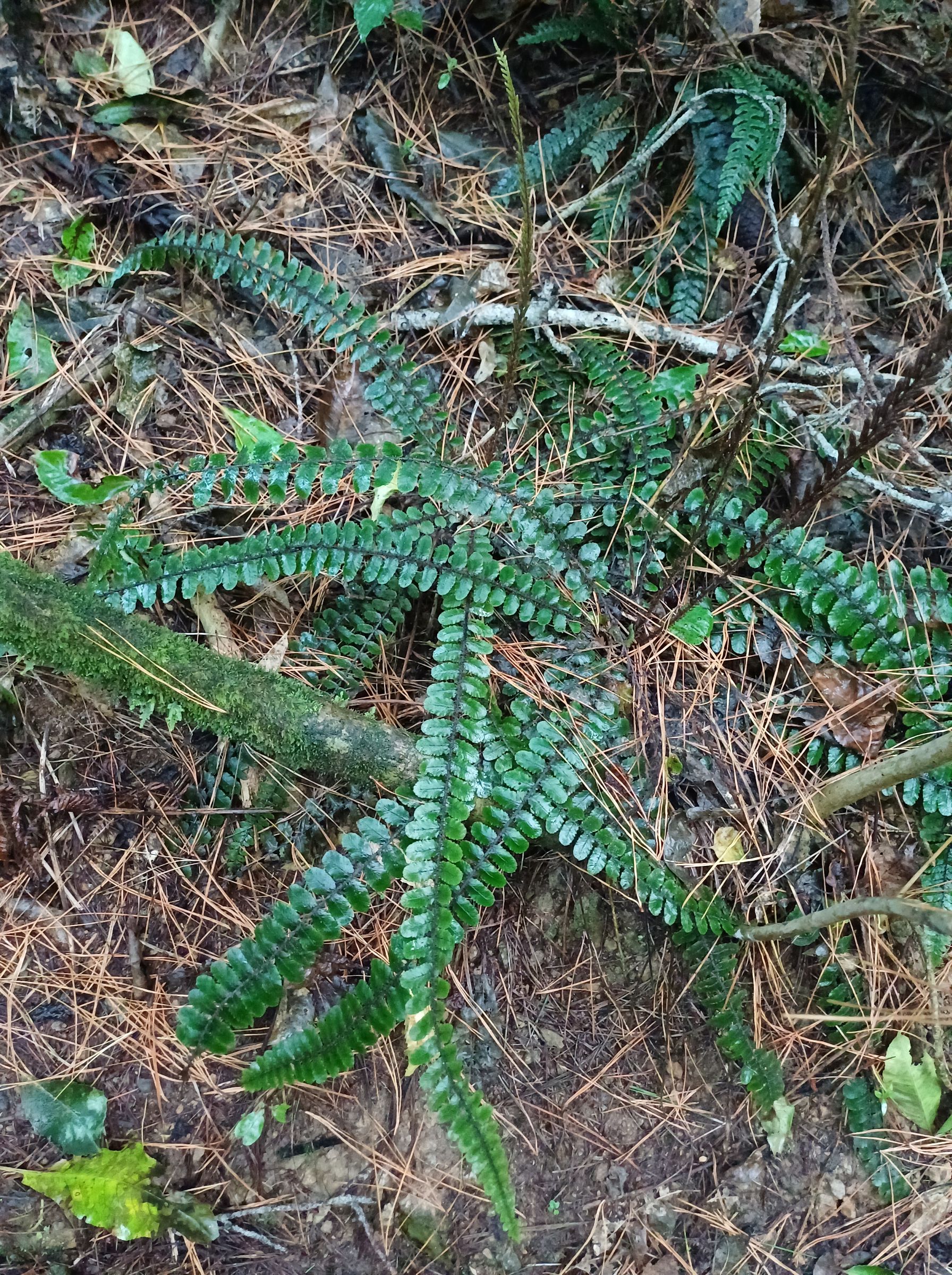
Kiwakiwa 

Tricholomopsis ornaticeps 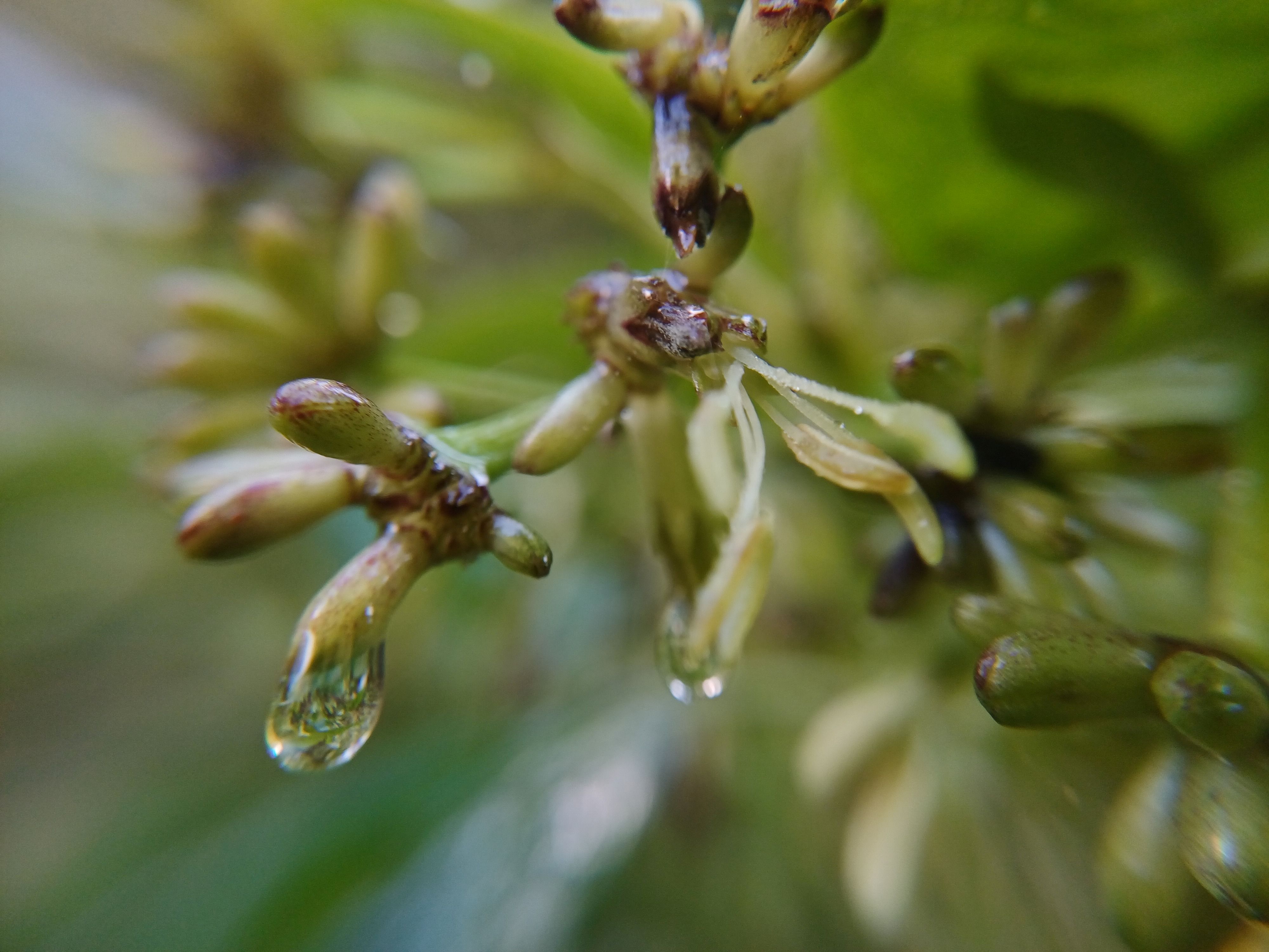
Kanono flower 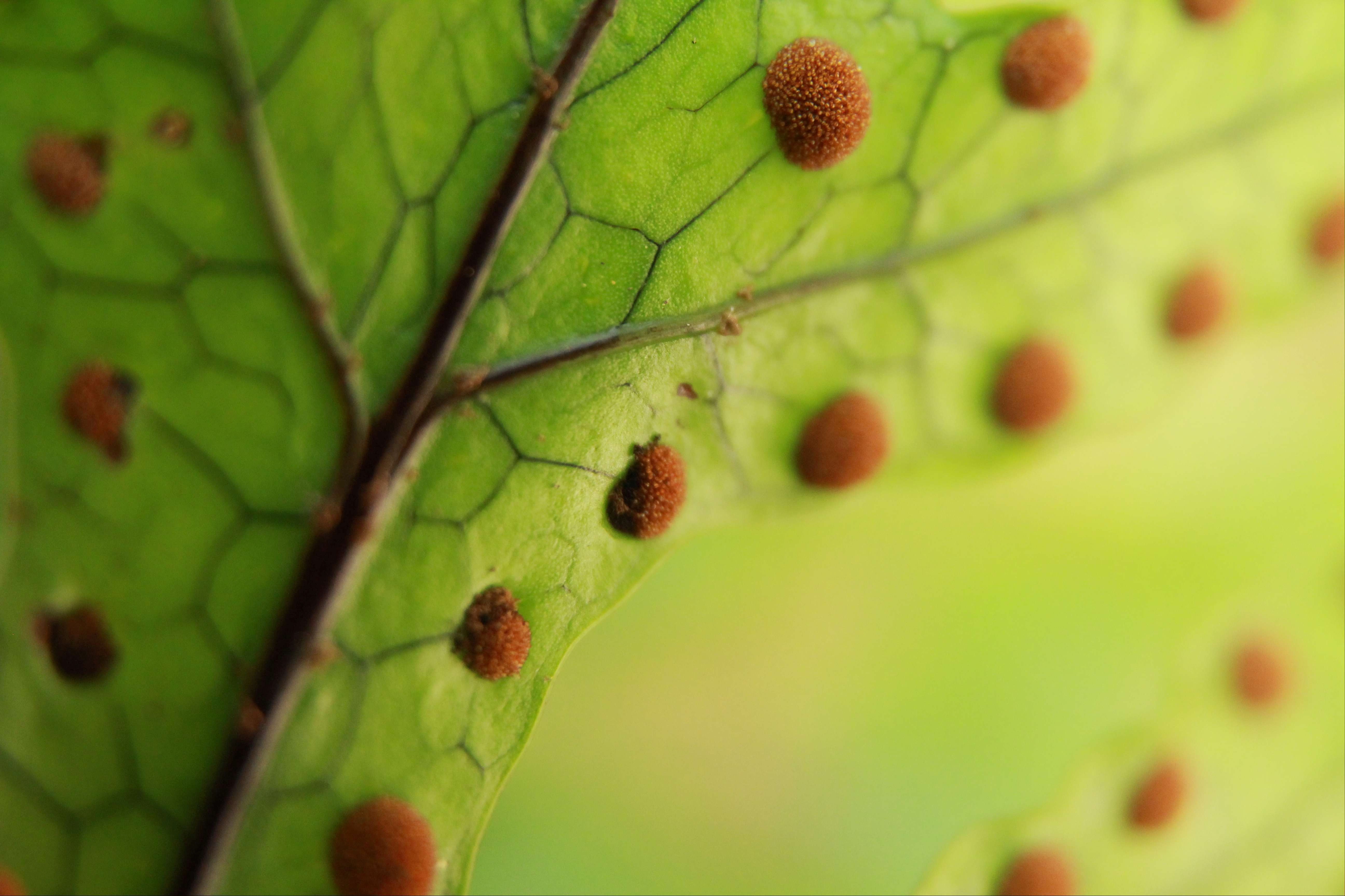
Microsorum pustulatum – Hound’s tongue 
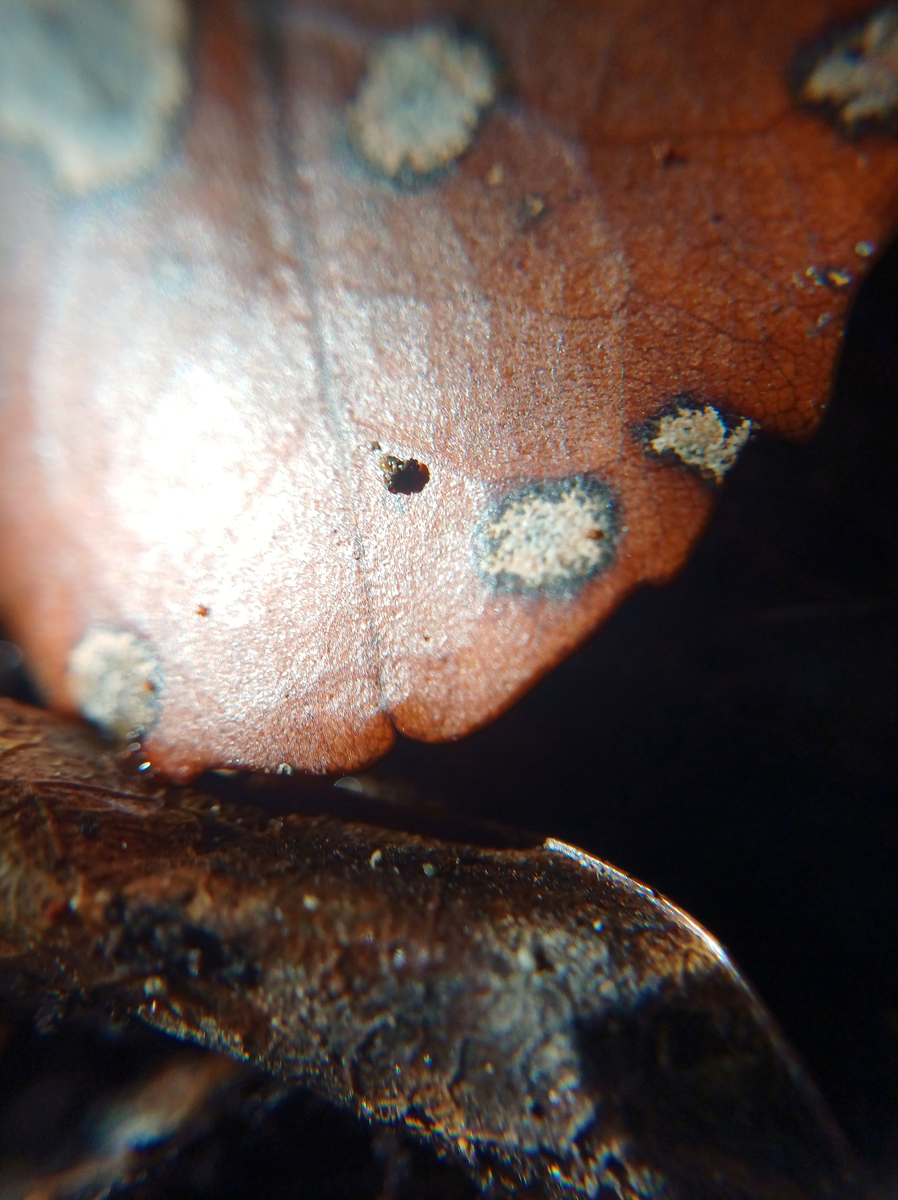
Orbilia 
Mānuka 
Tricholomopsis ornaticeps 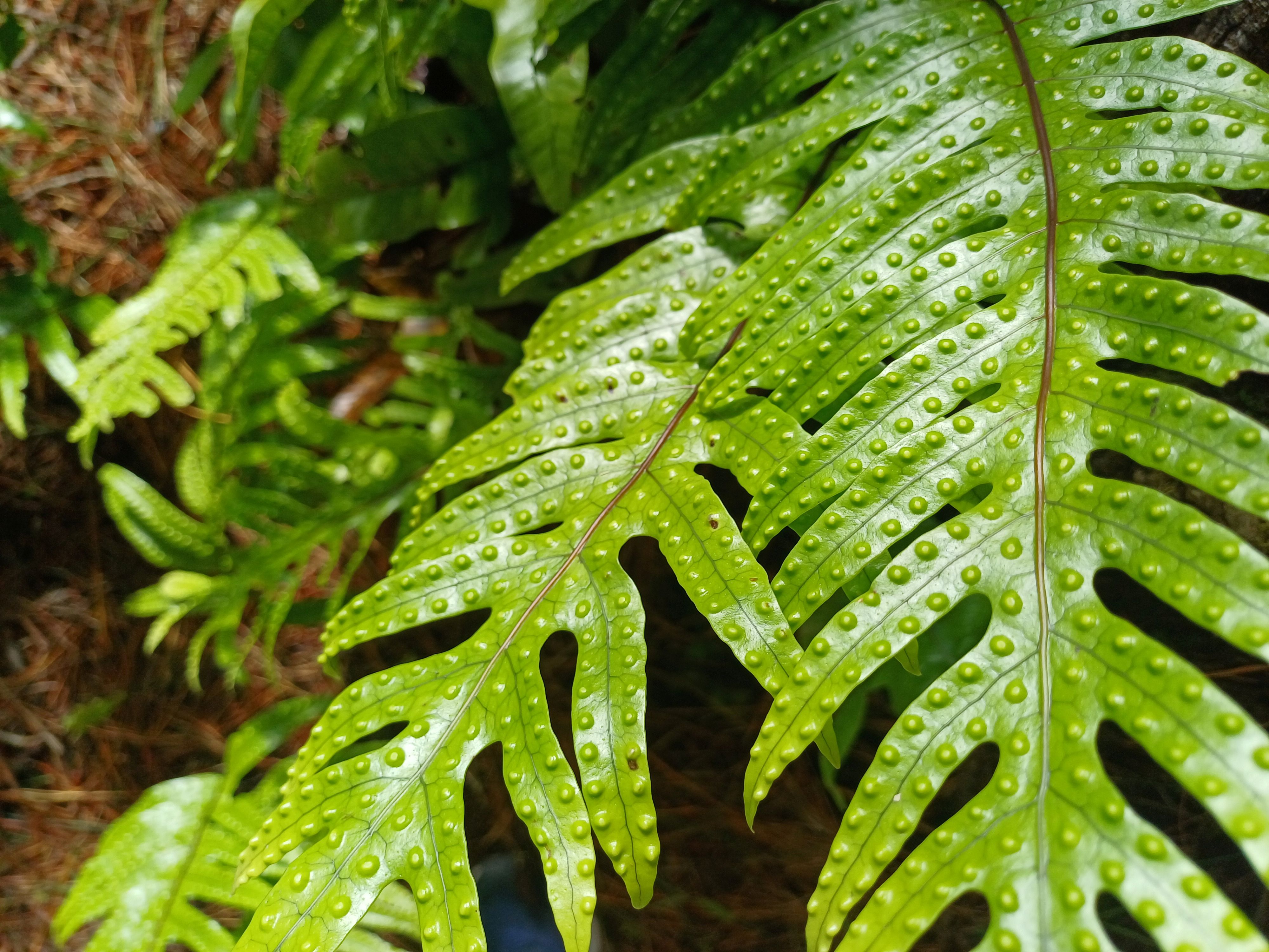
Microsorum pustulatum 
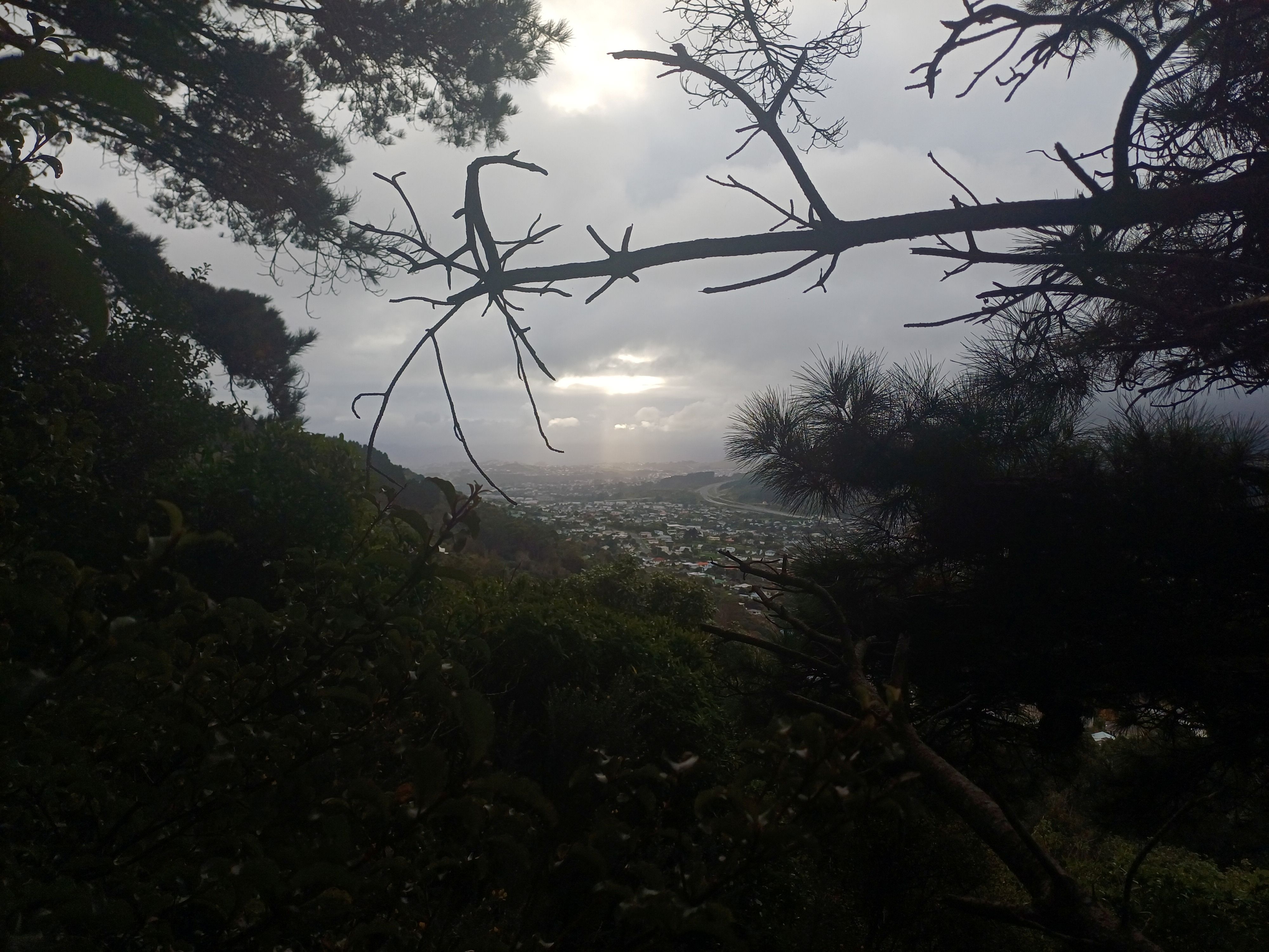
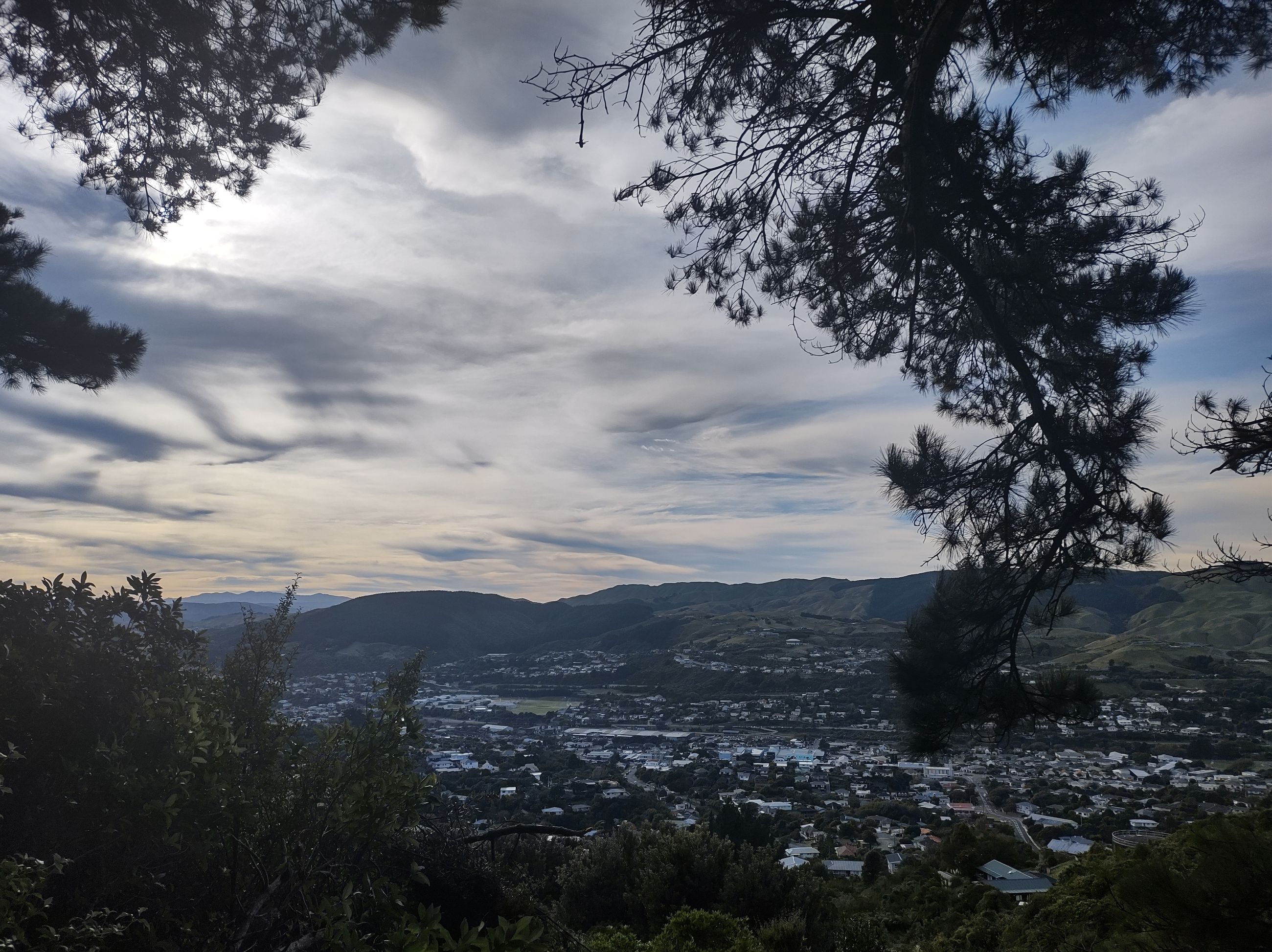
Morning view over Tawa 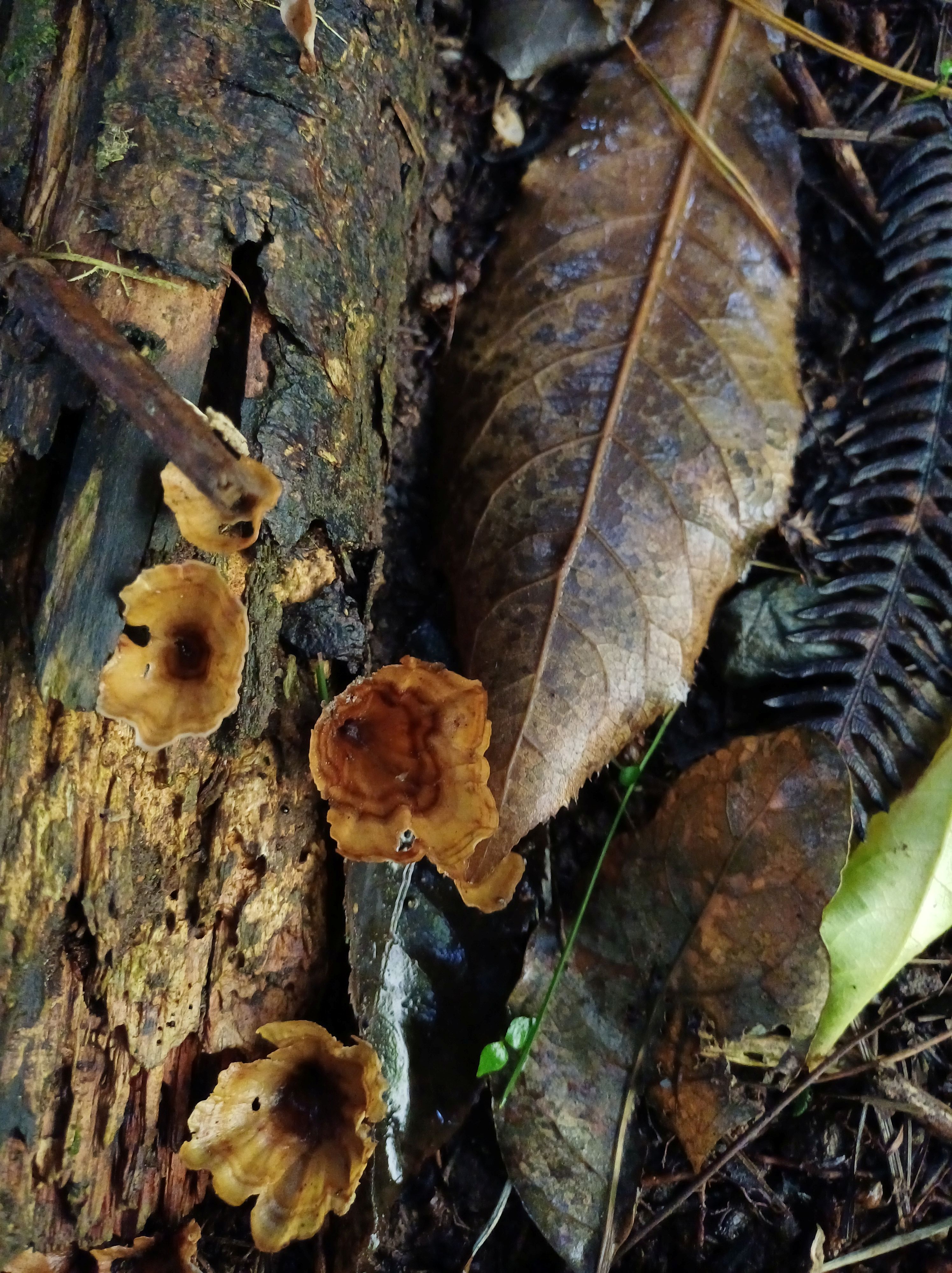
Wineglass fungus 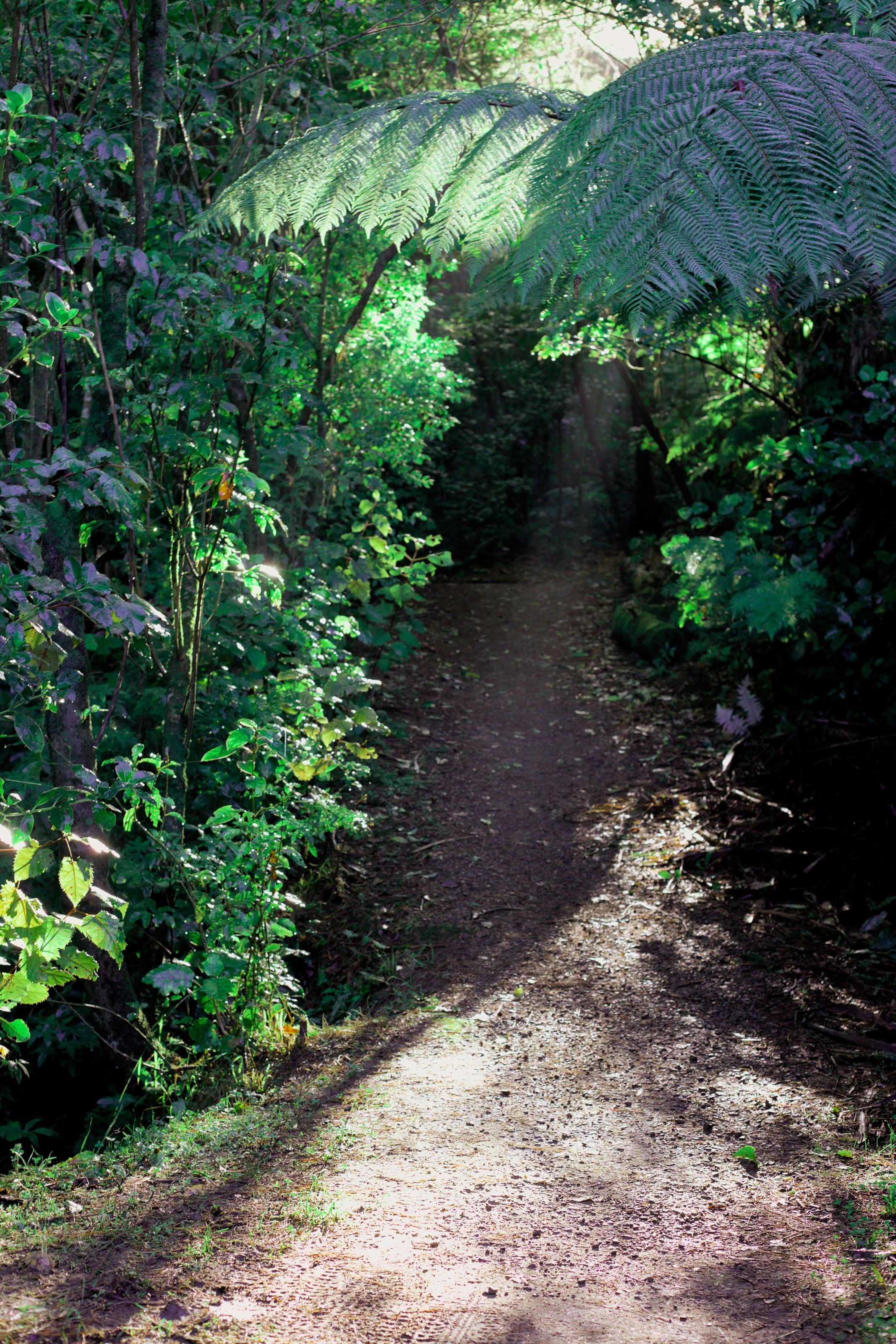

Ngaio flower 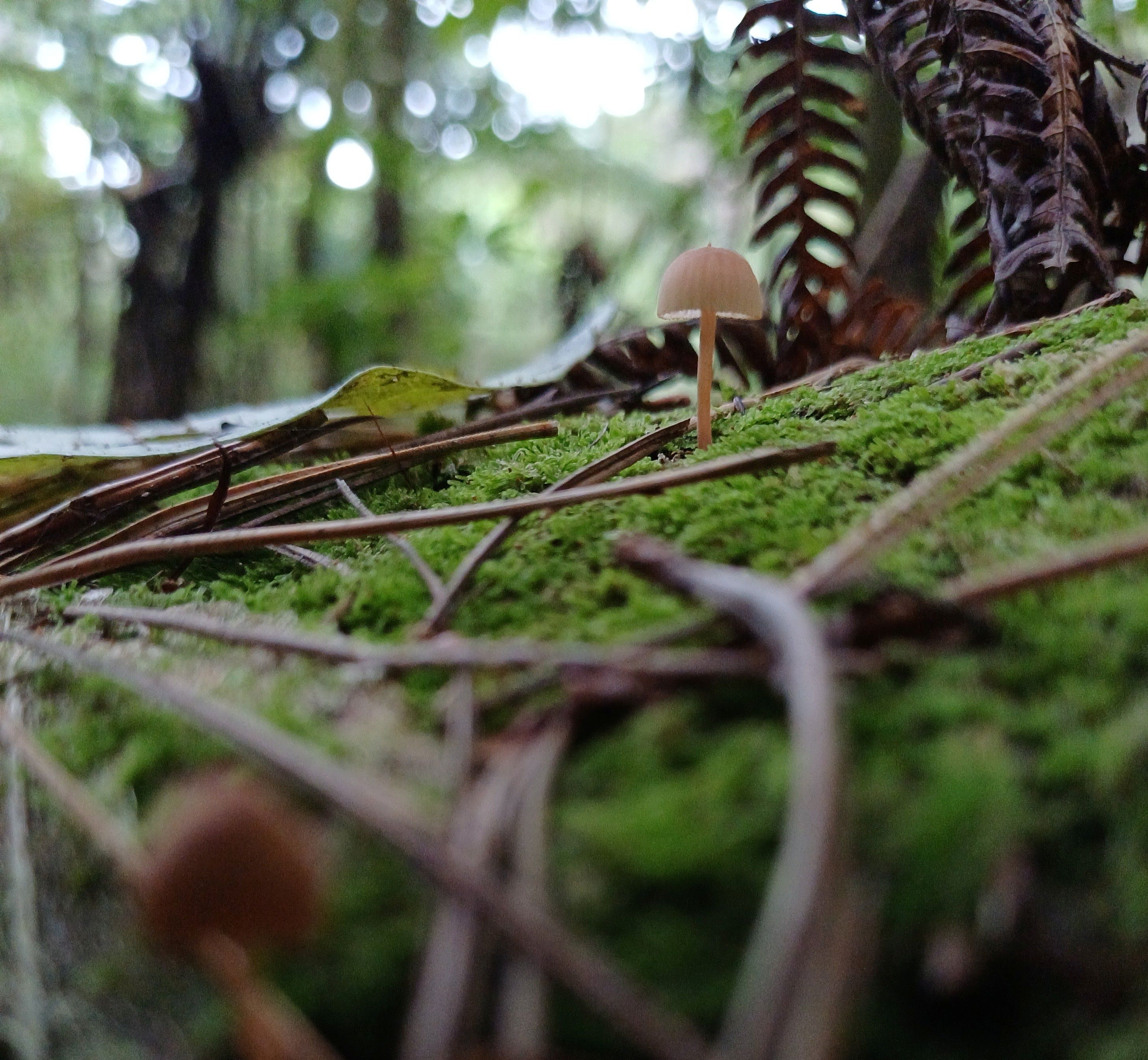
Tricholomopsis ornaticeps 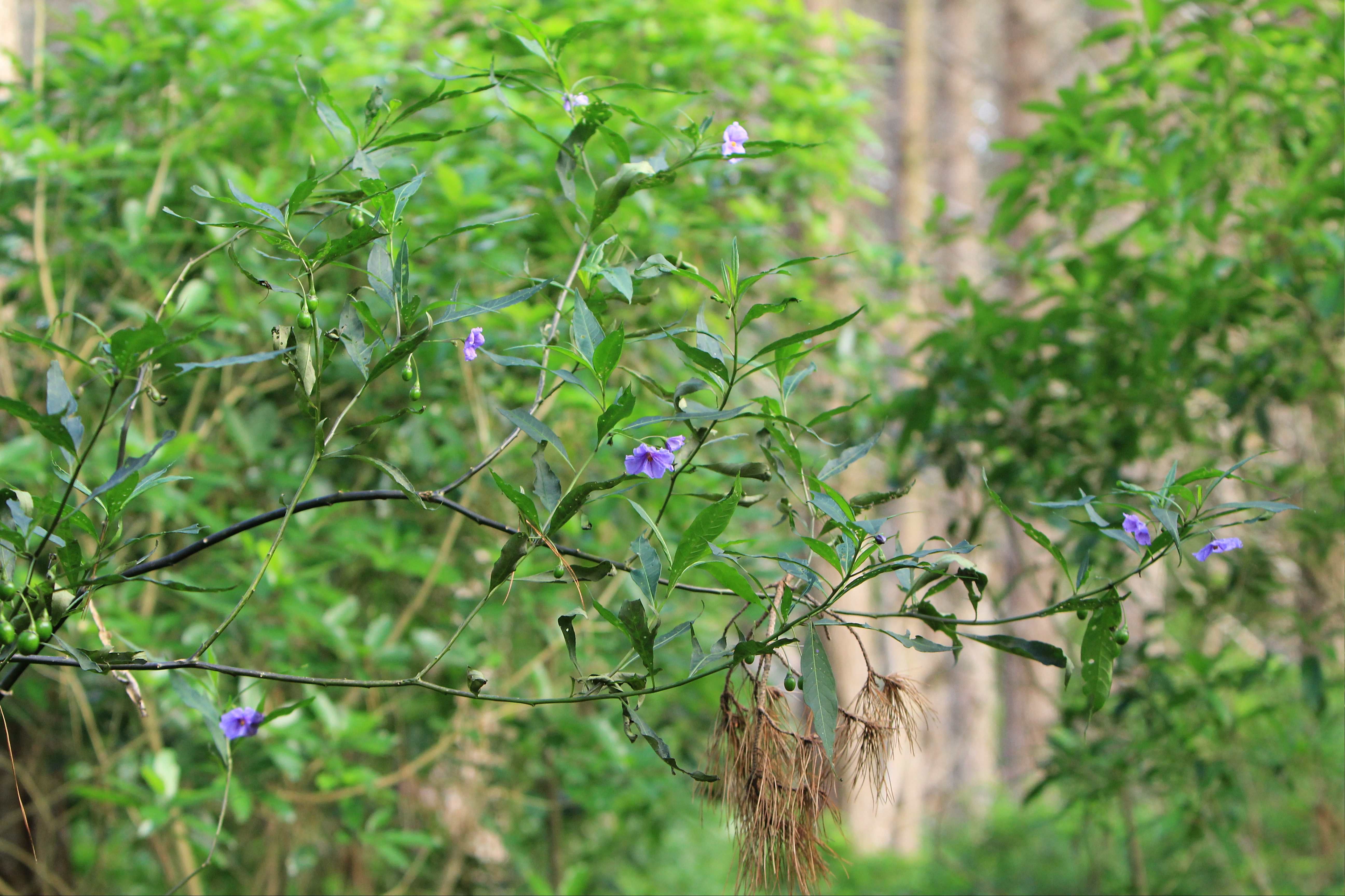


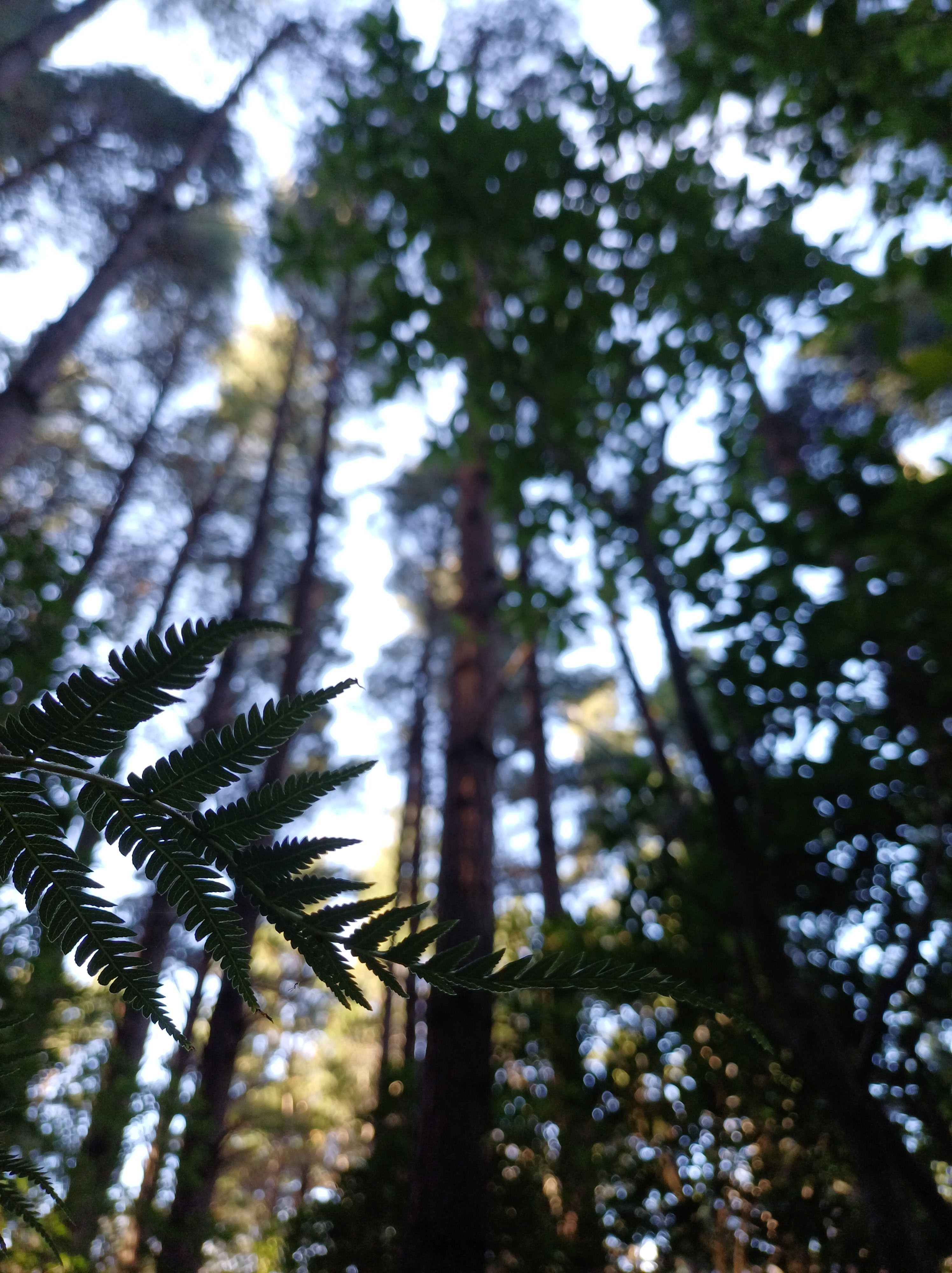
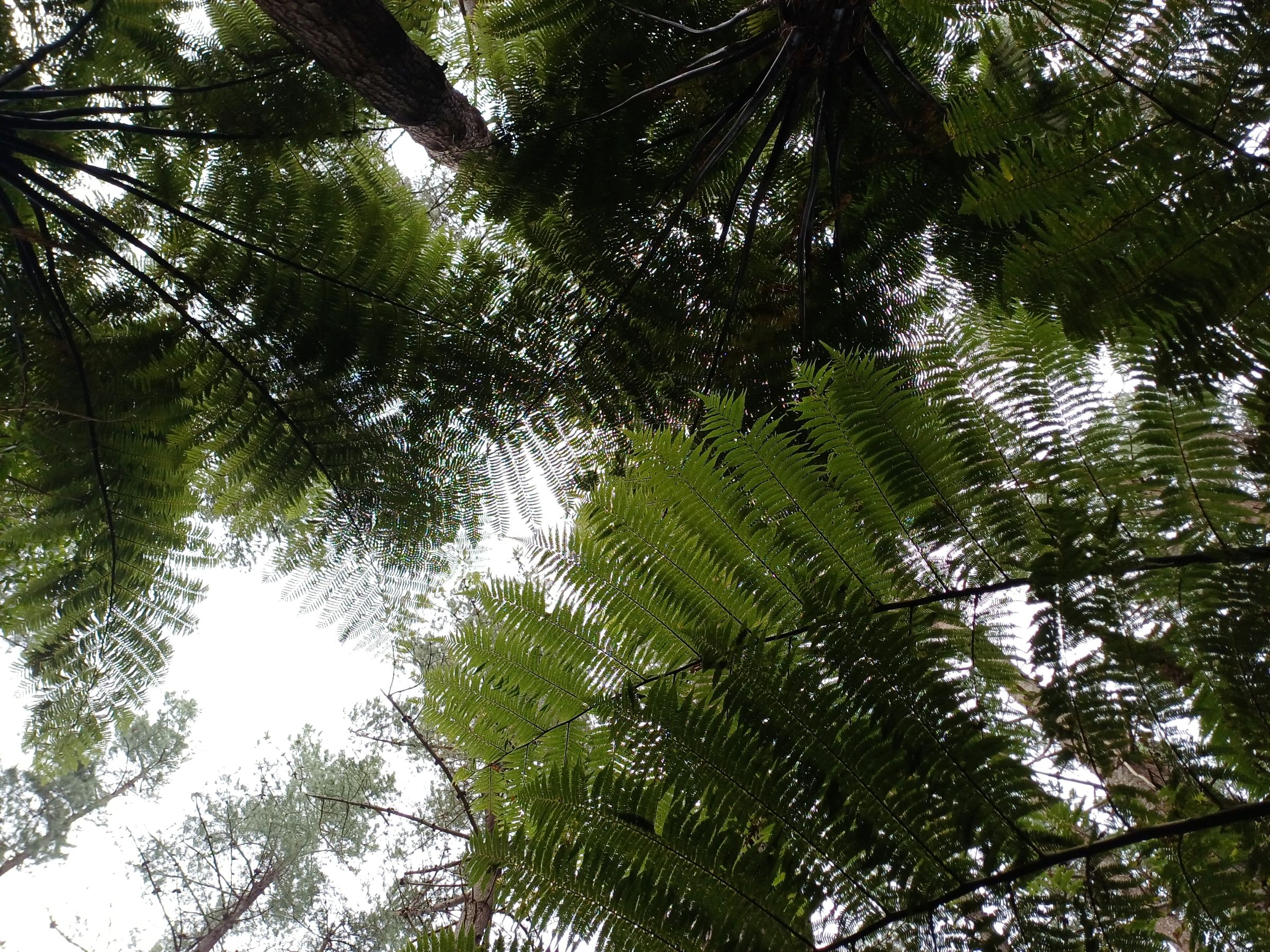
Te Ngahere-o-Tawa 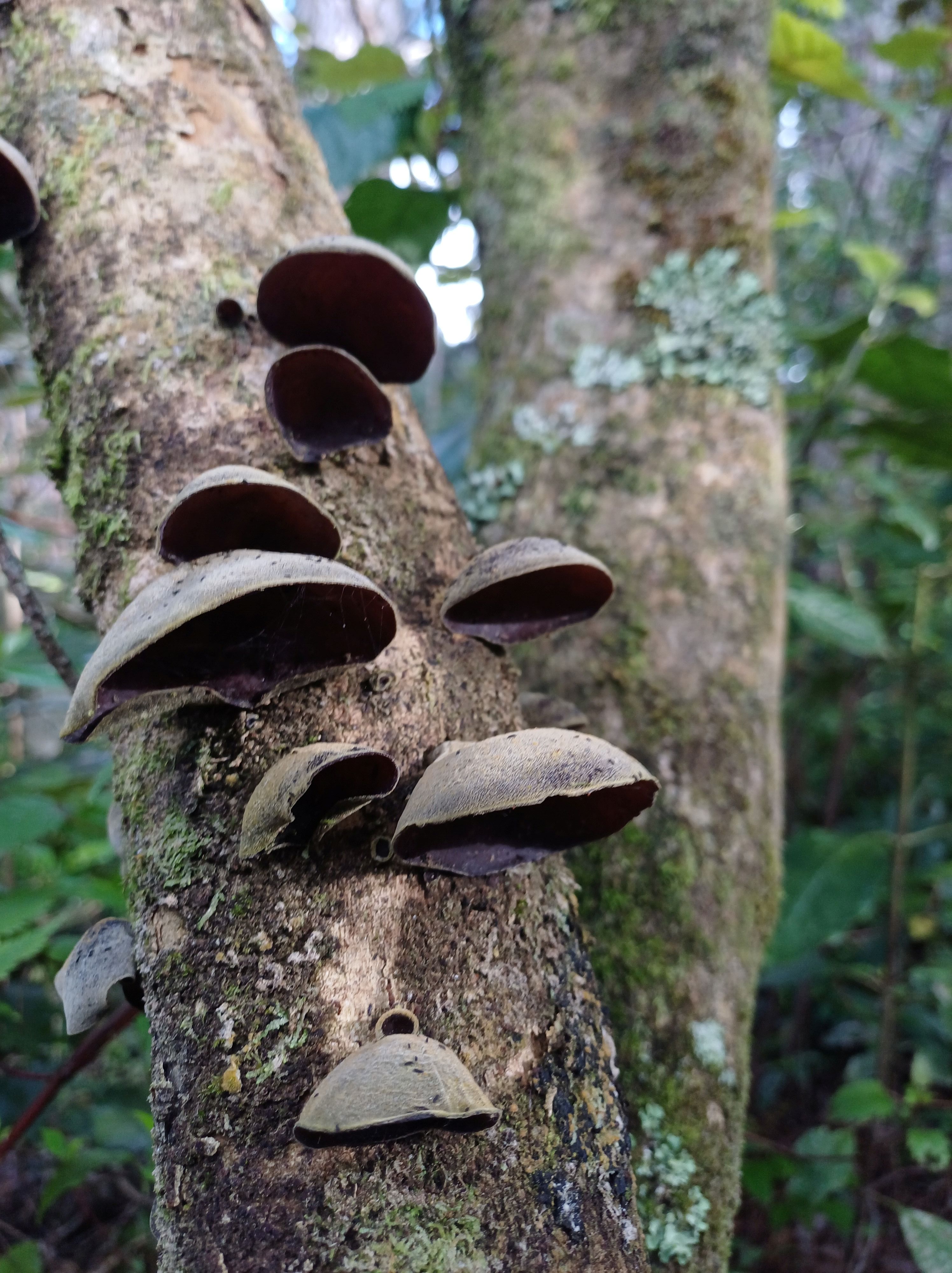
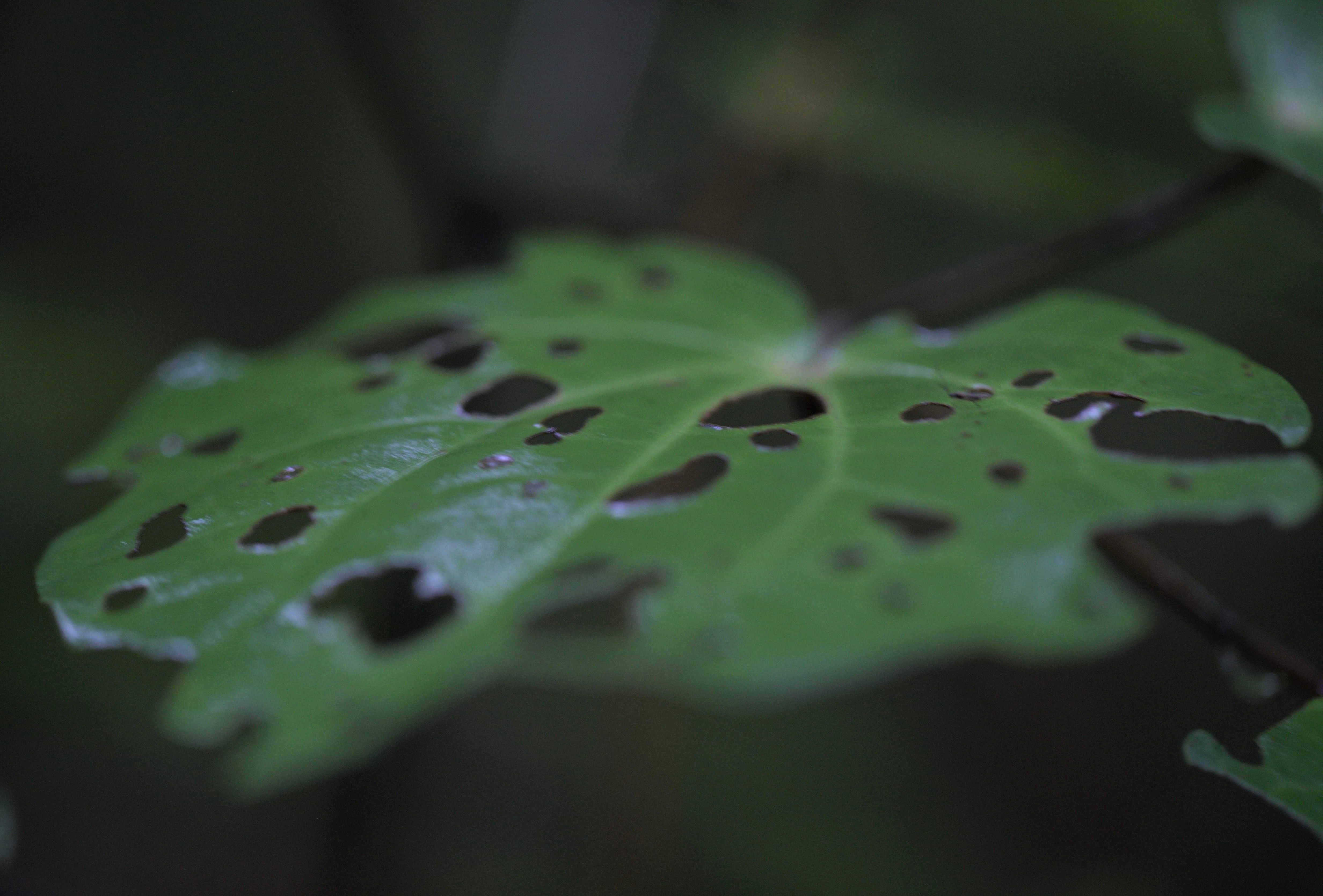
Kawakawa – well eaten 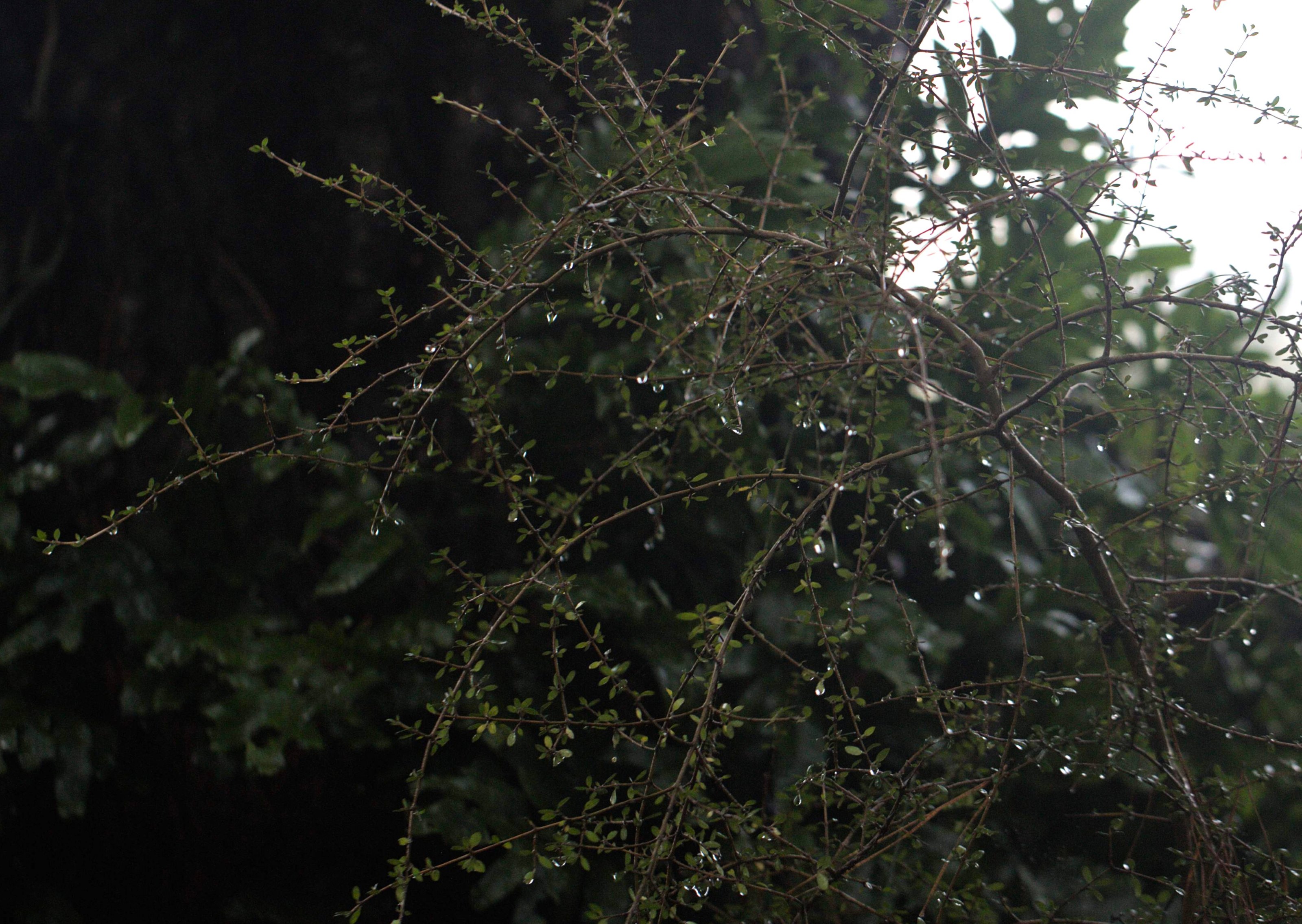
Mingimingi 
Silver fern 
slug on Tawa leaf 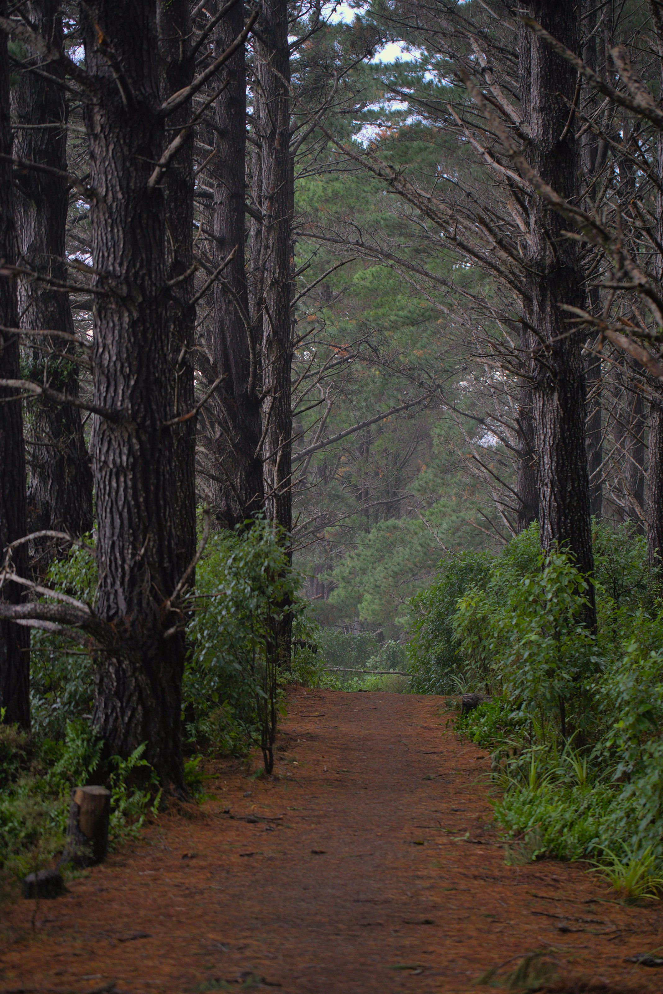
Misty day Te Ngahere-o-Tawa 
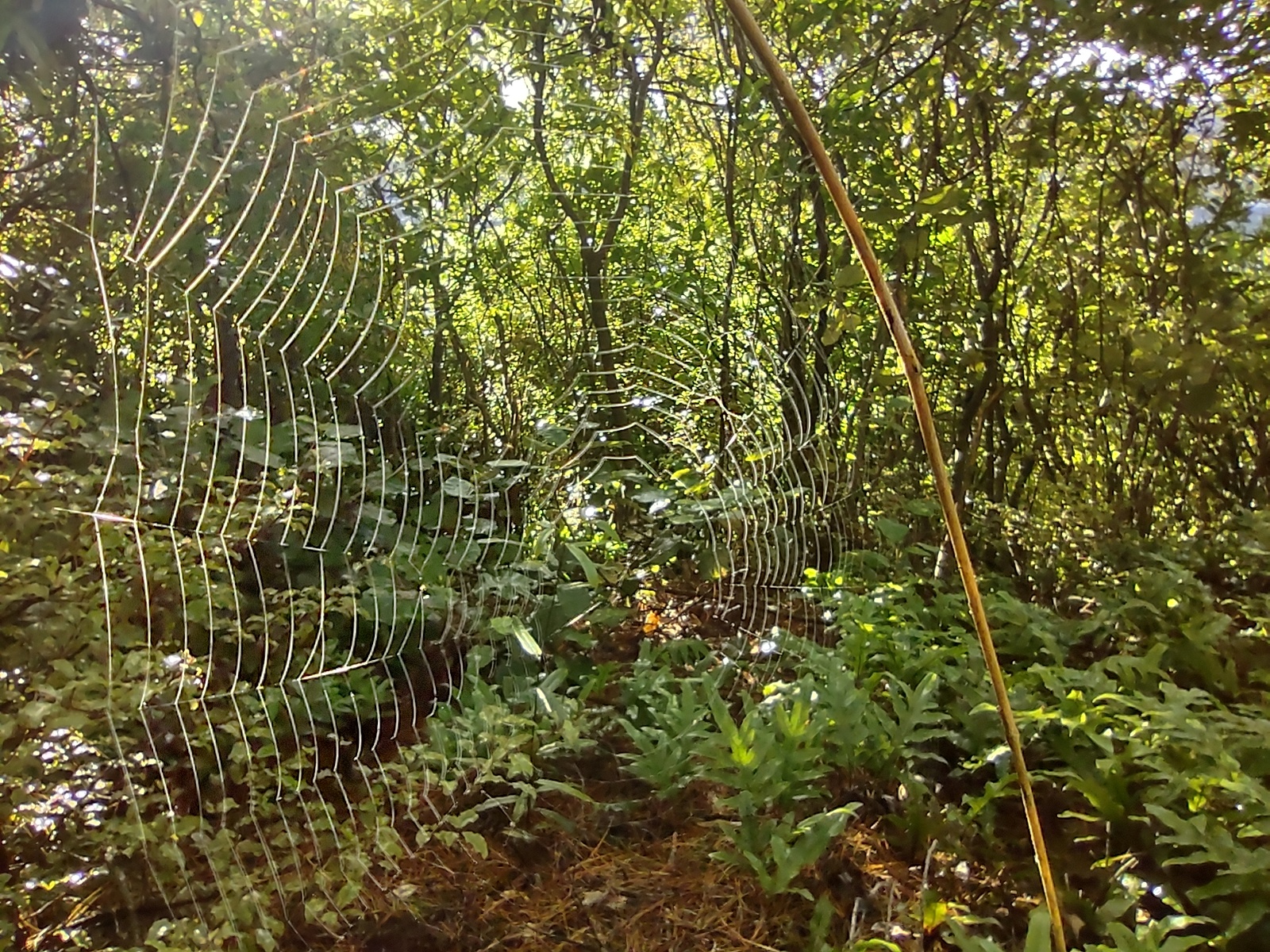
spot the spider web 
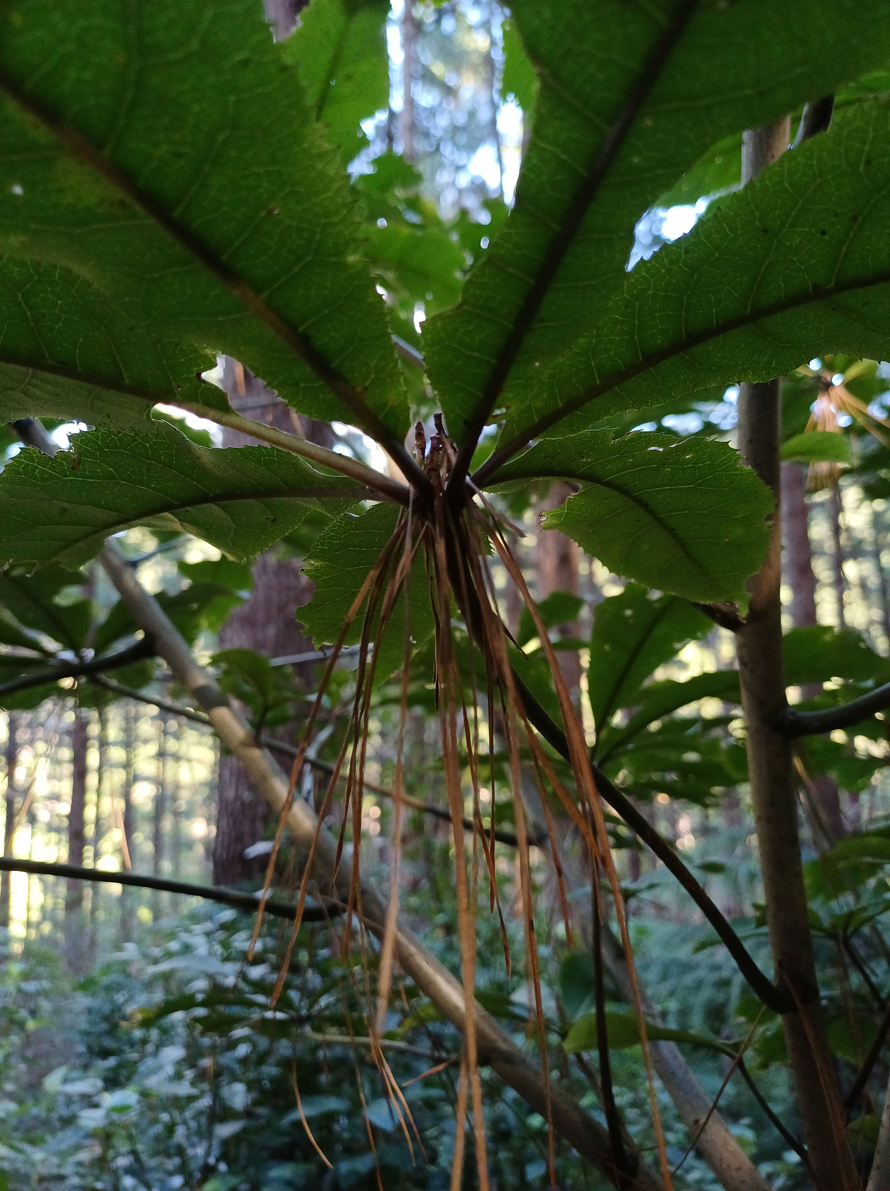
Whauwhaupaku 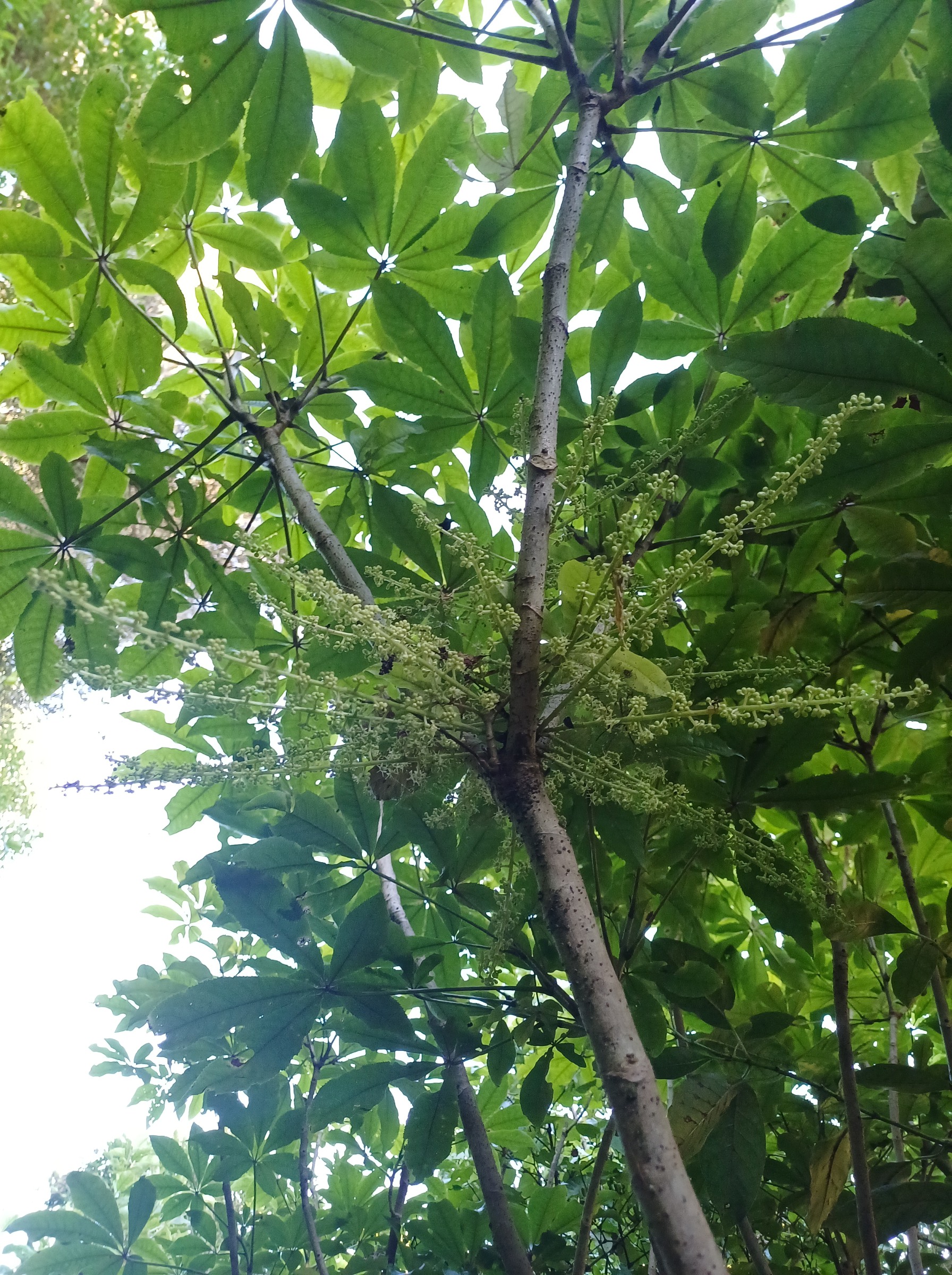
Rewarewa 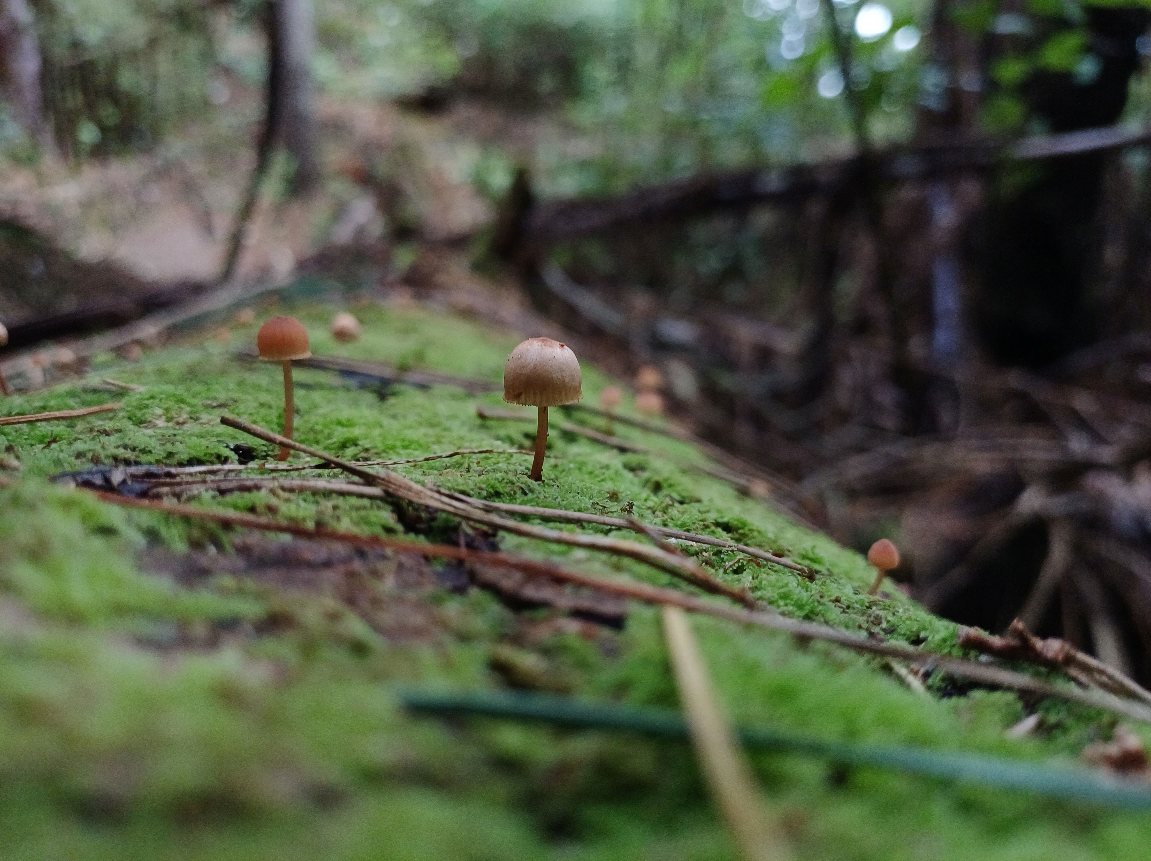
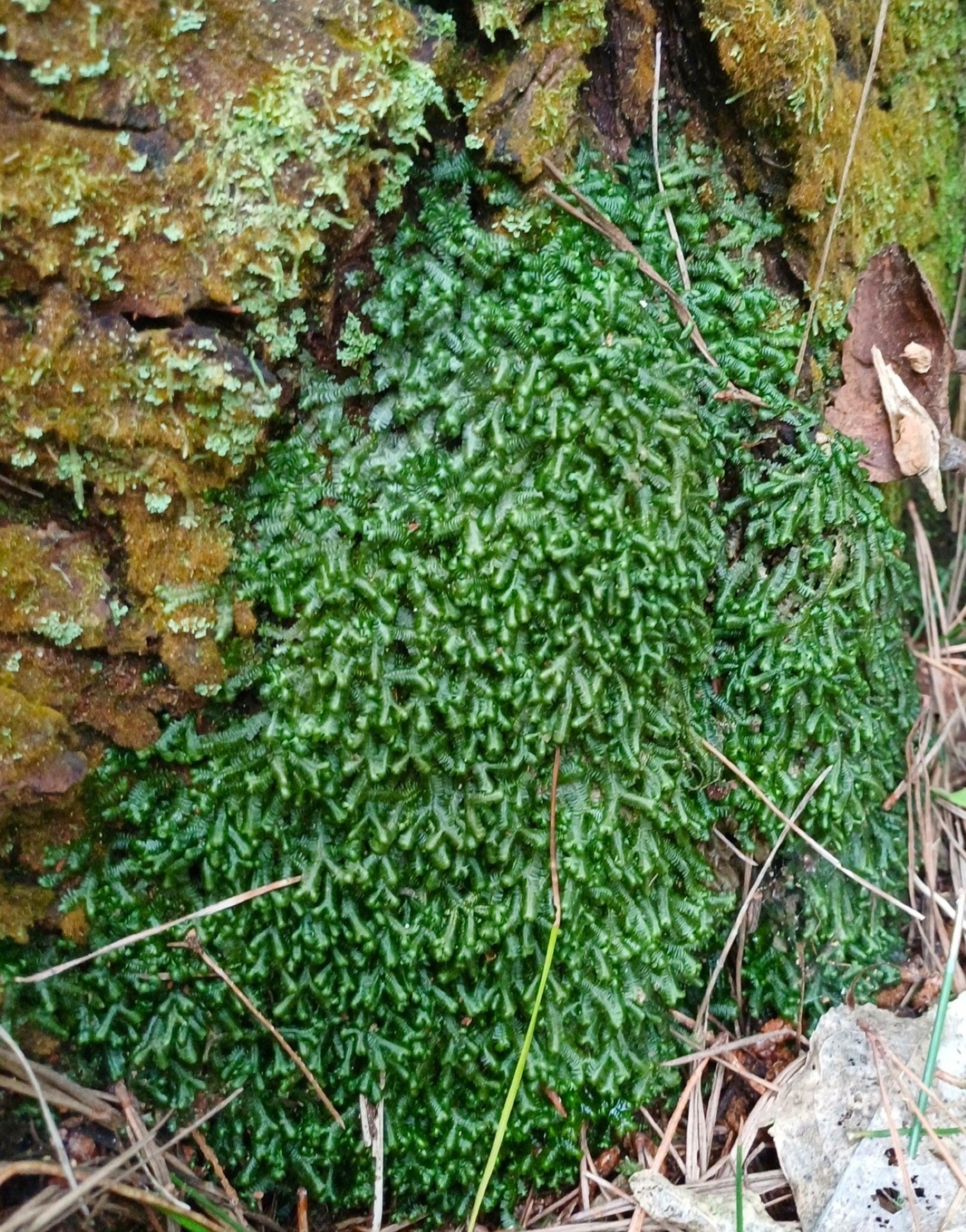
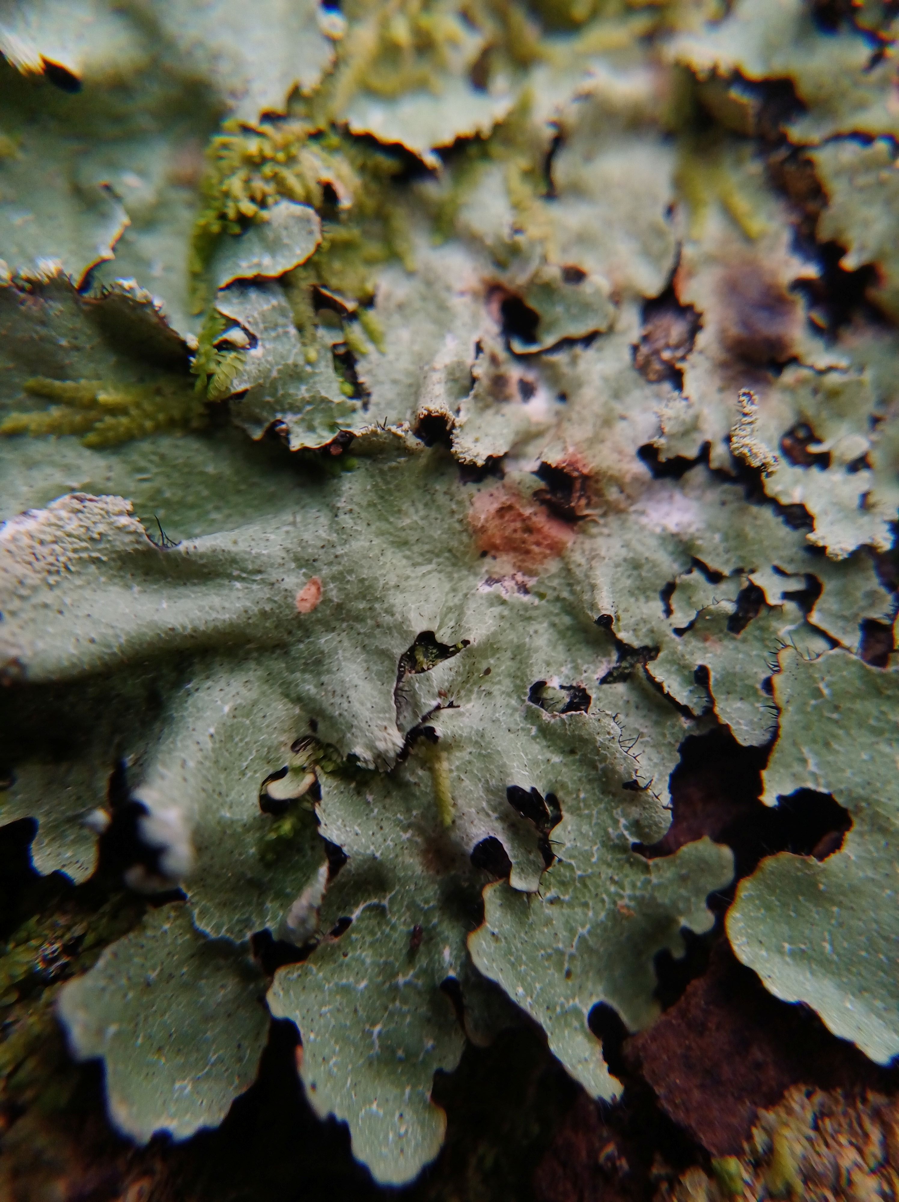
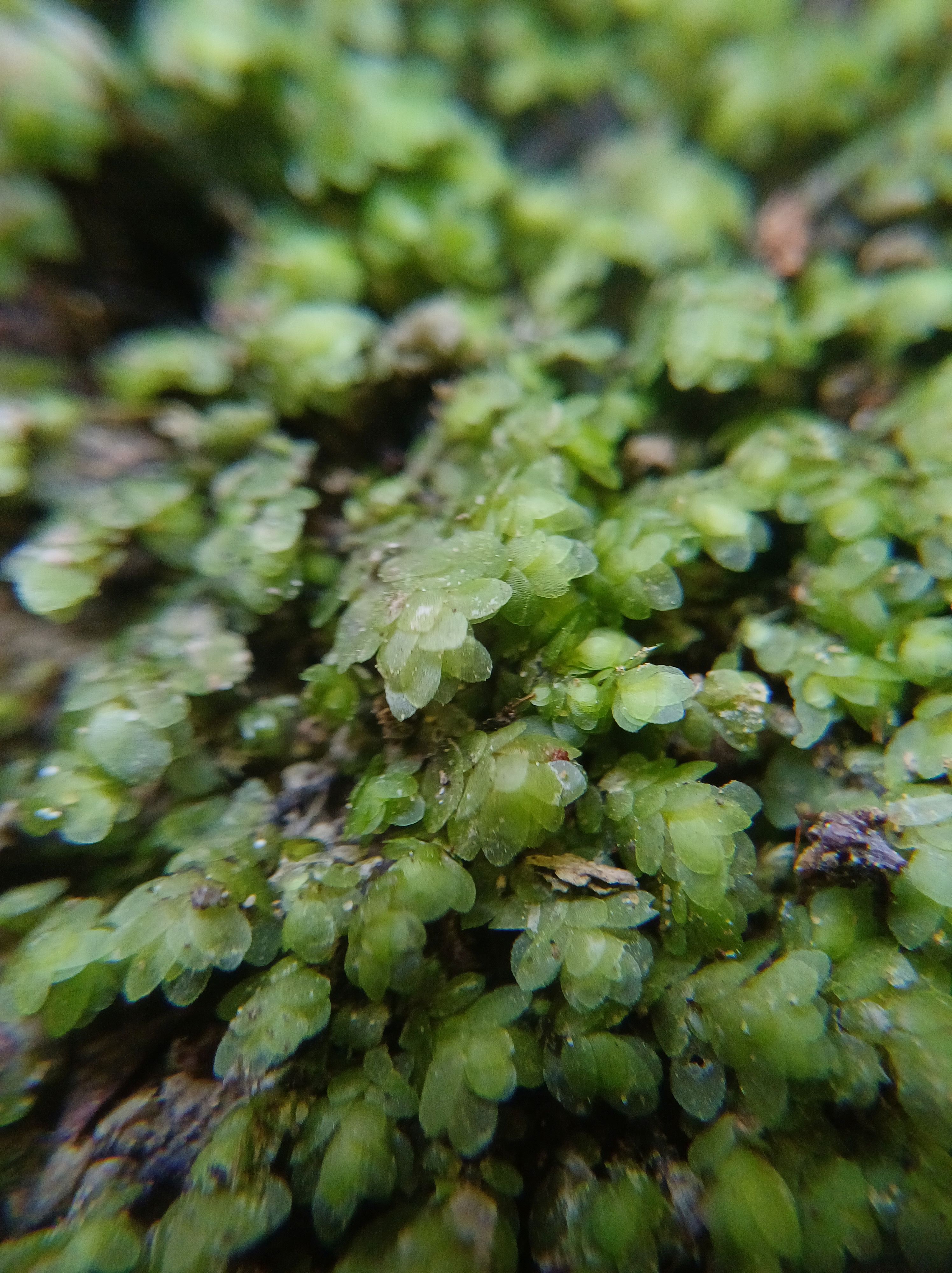
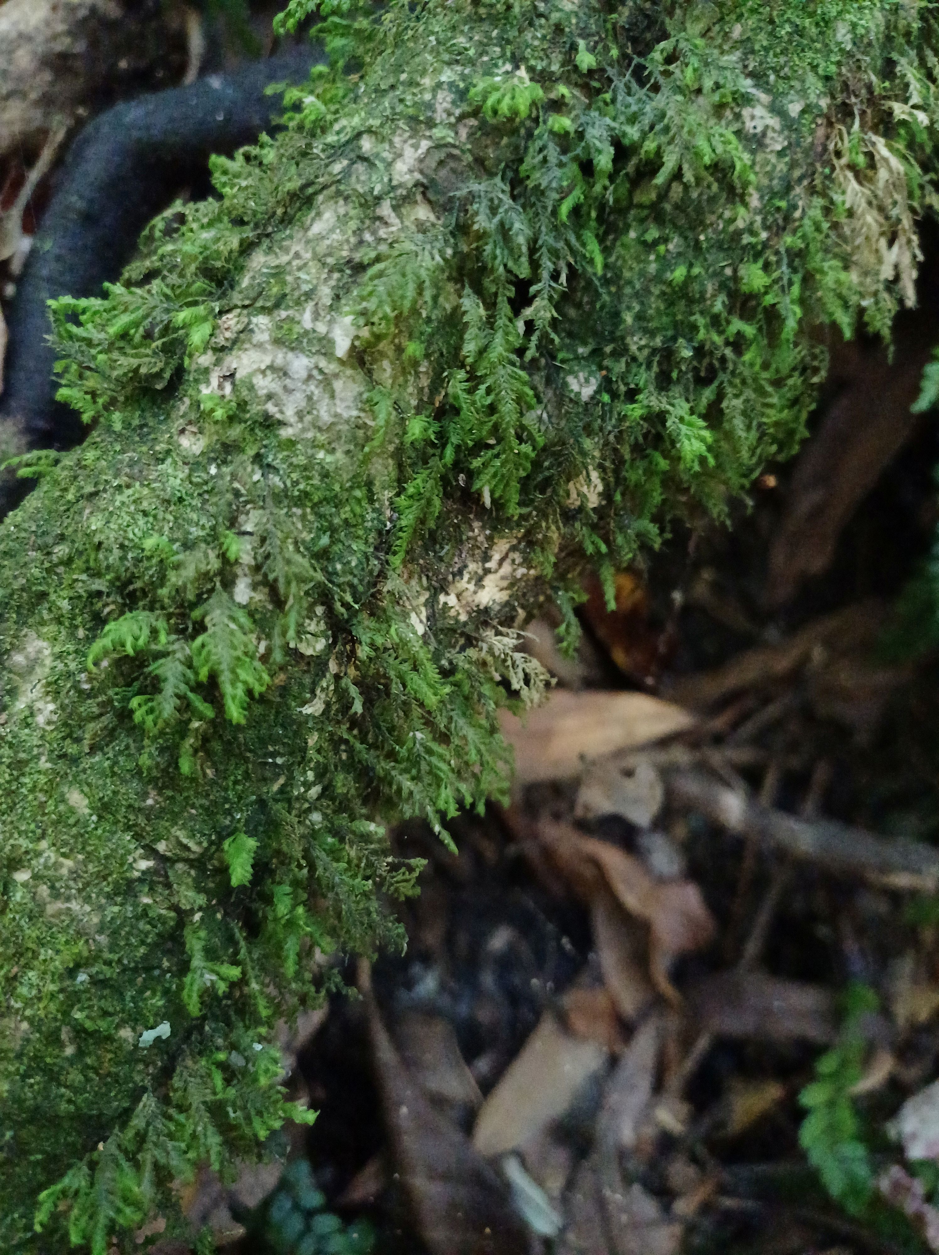
Bazzania 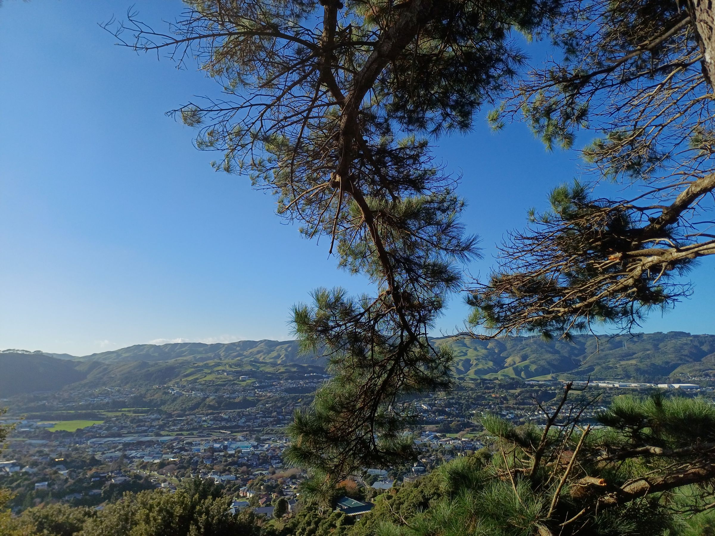

Shining spleenwort 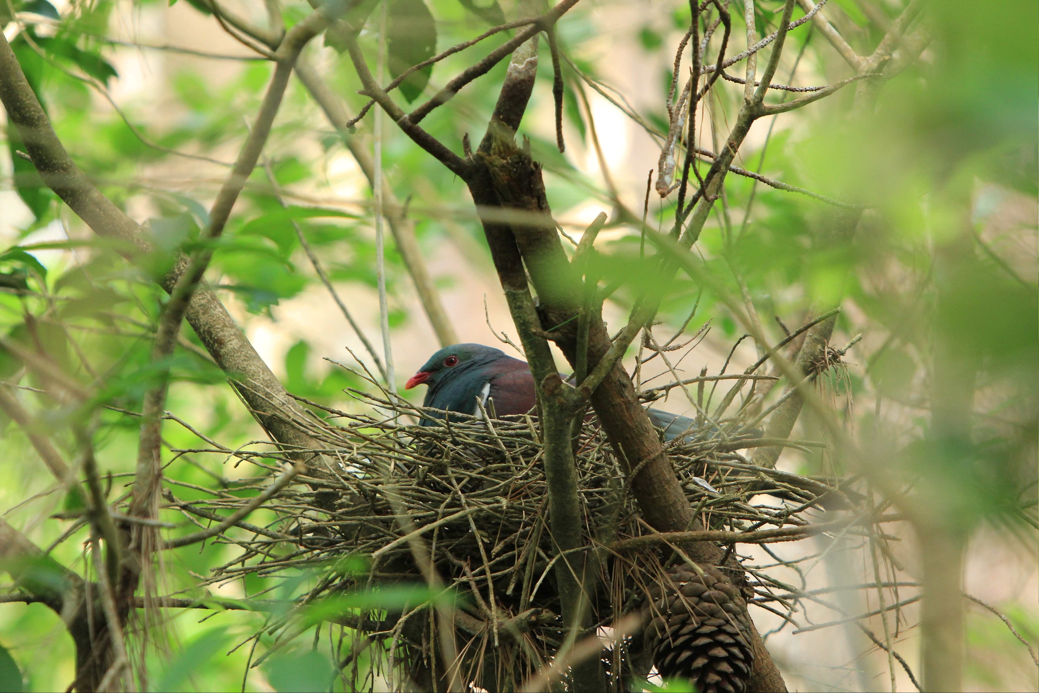
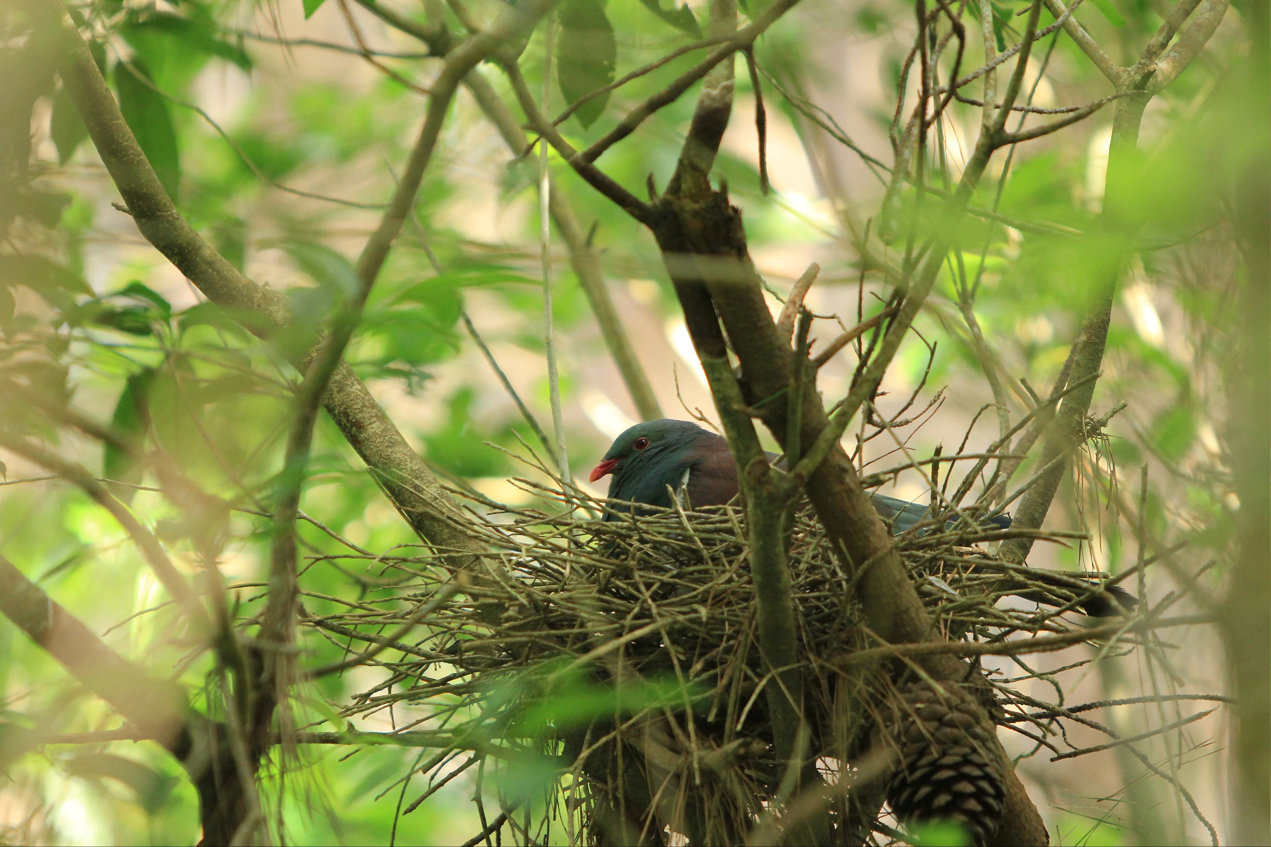
Kererū – NZ Woodpigeon 
Tricholomopsis ornaticeps 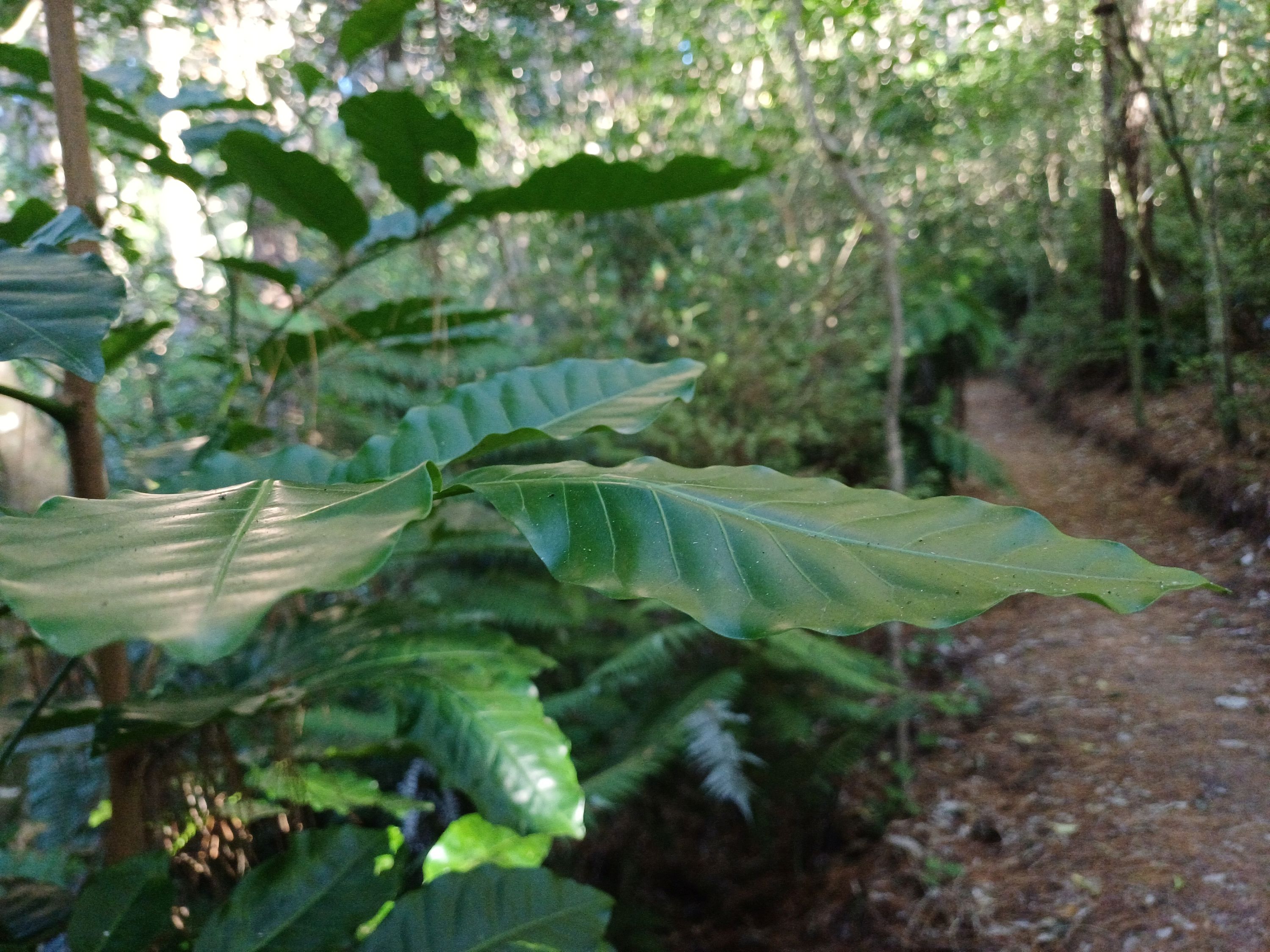
Kohekohe 
Patē, Schefflera digitata 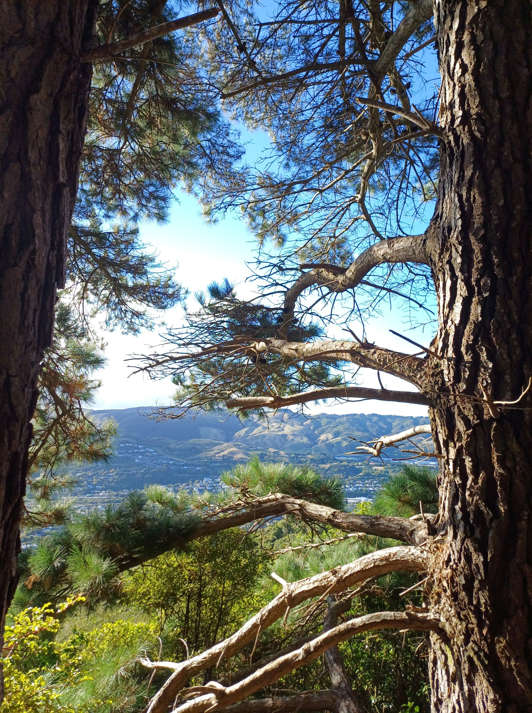
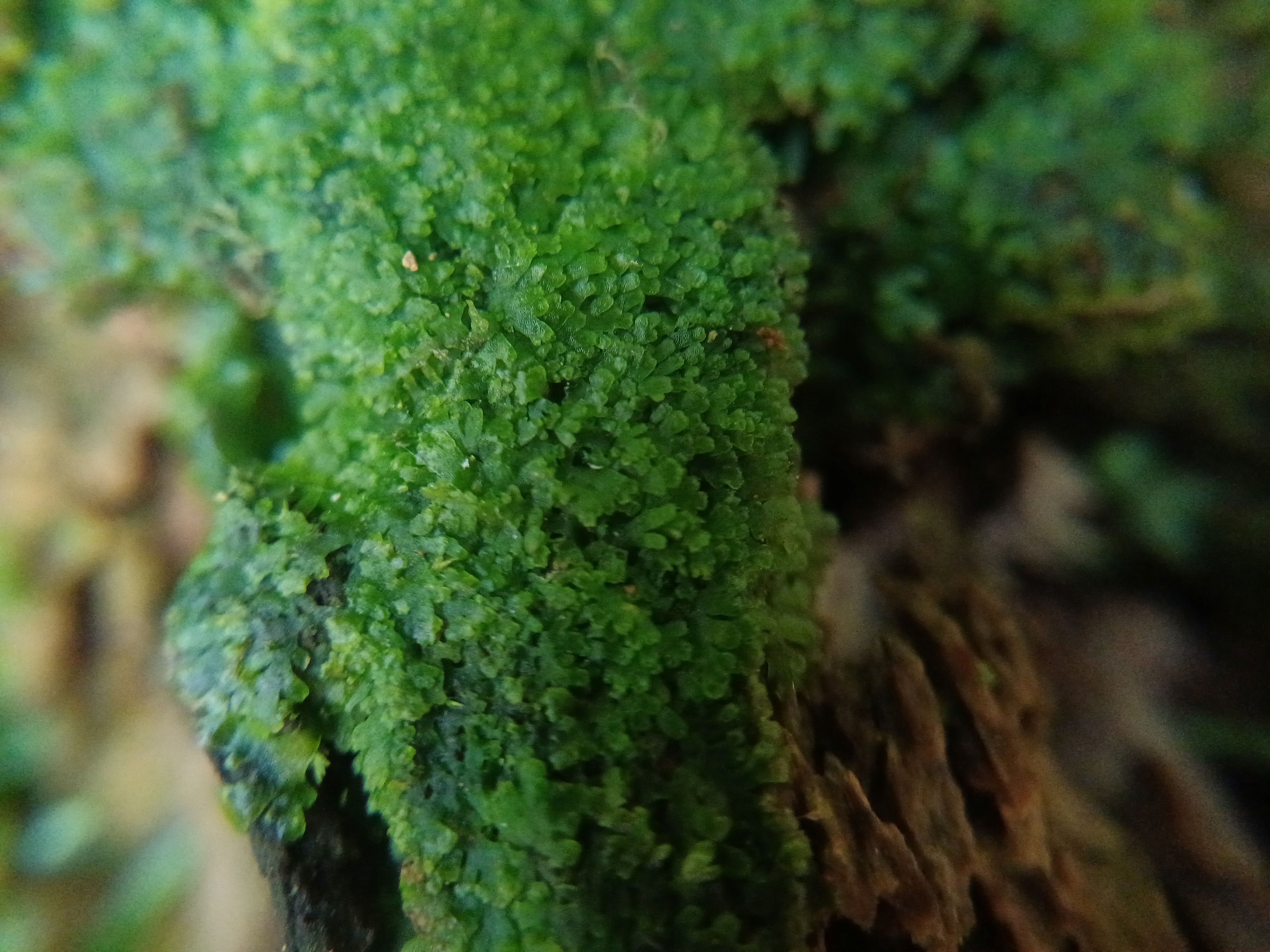
Haircap moss 

Hangehange 
Kanono flowers on leaf 
Club fungus 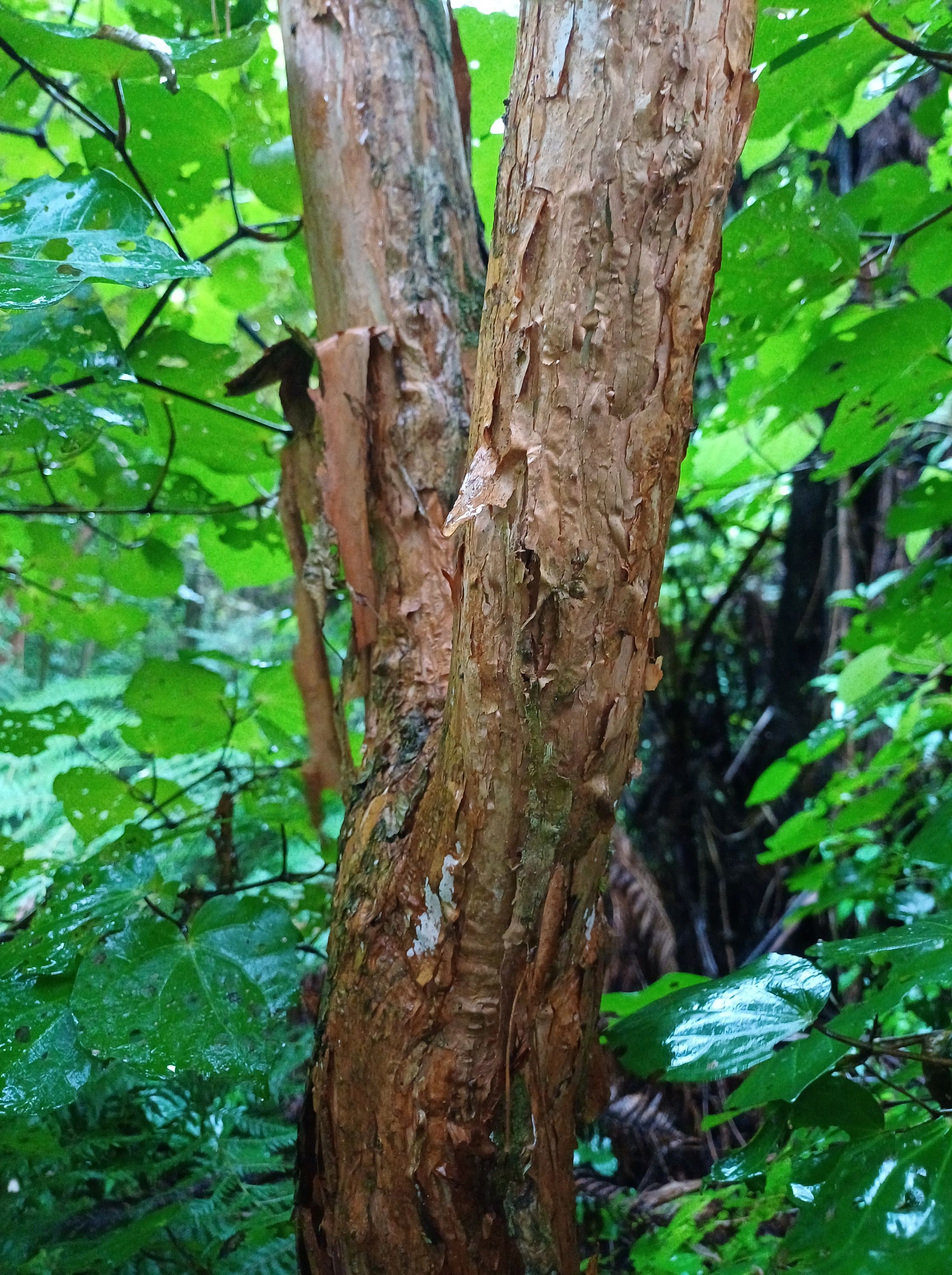
Kōtukutuku bark 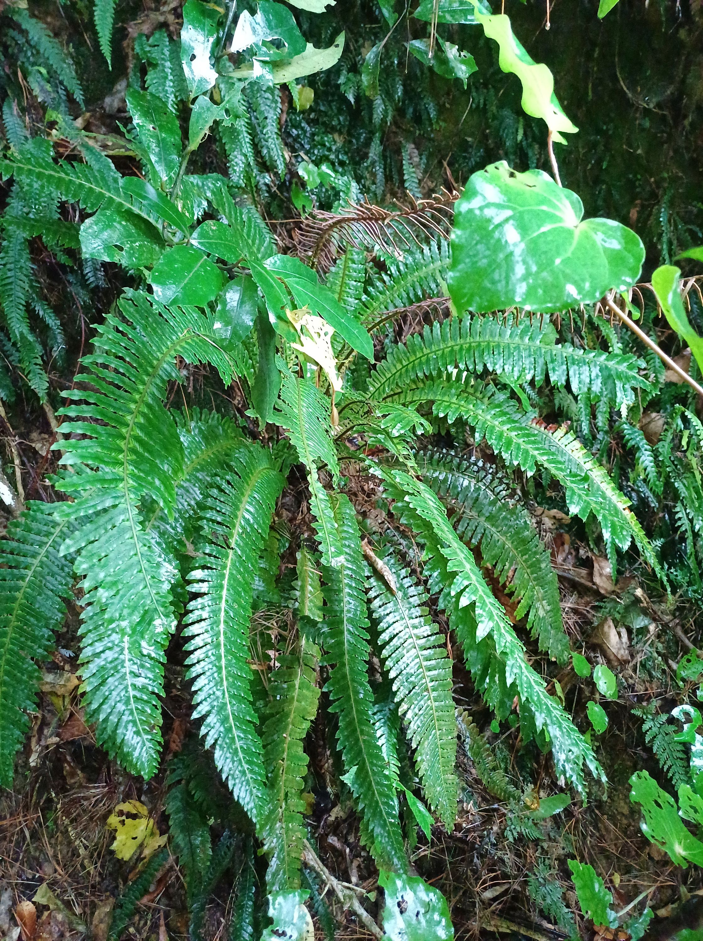
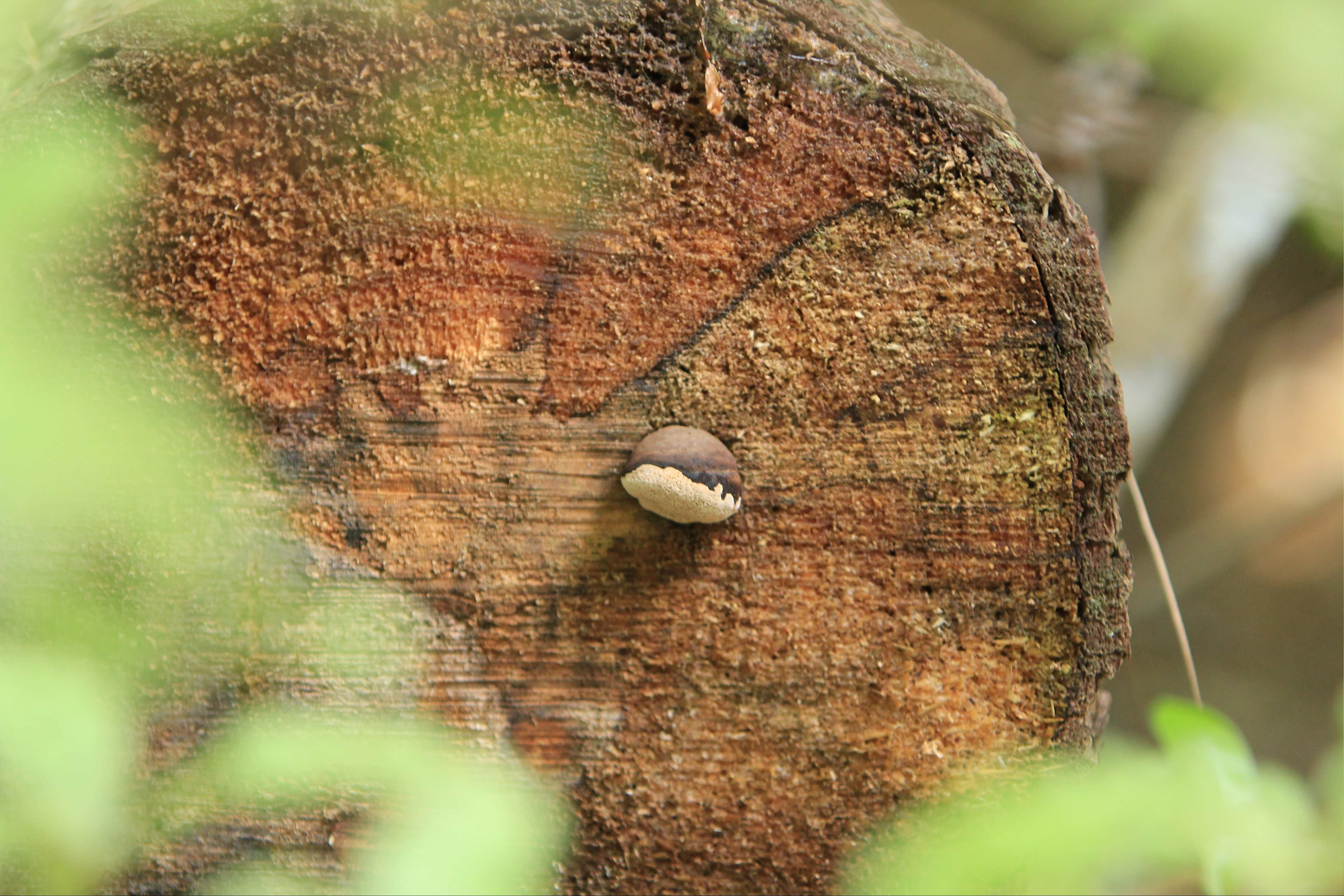
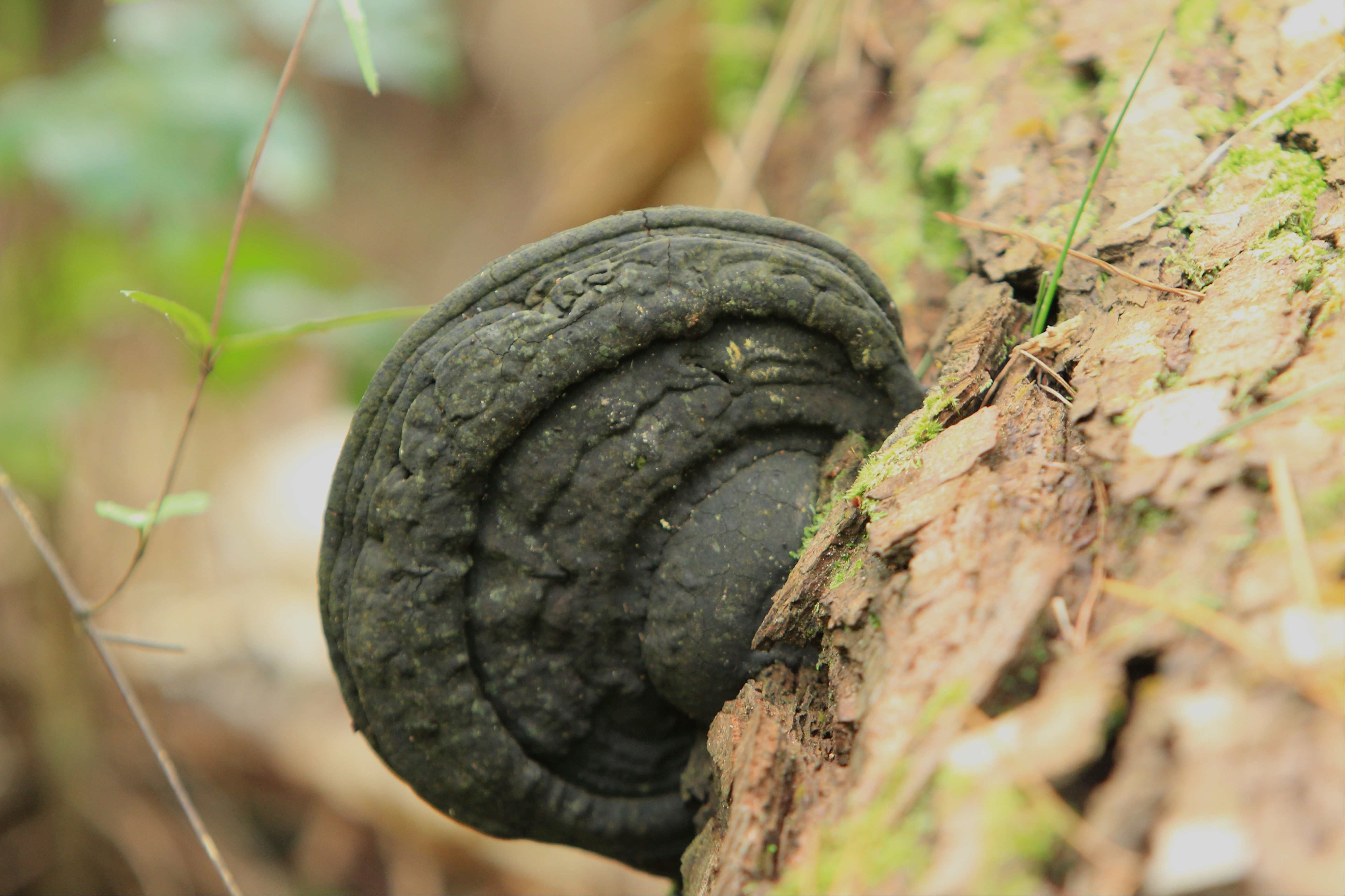
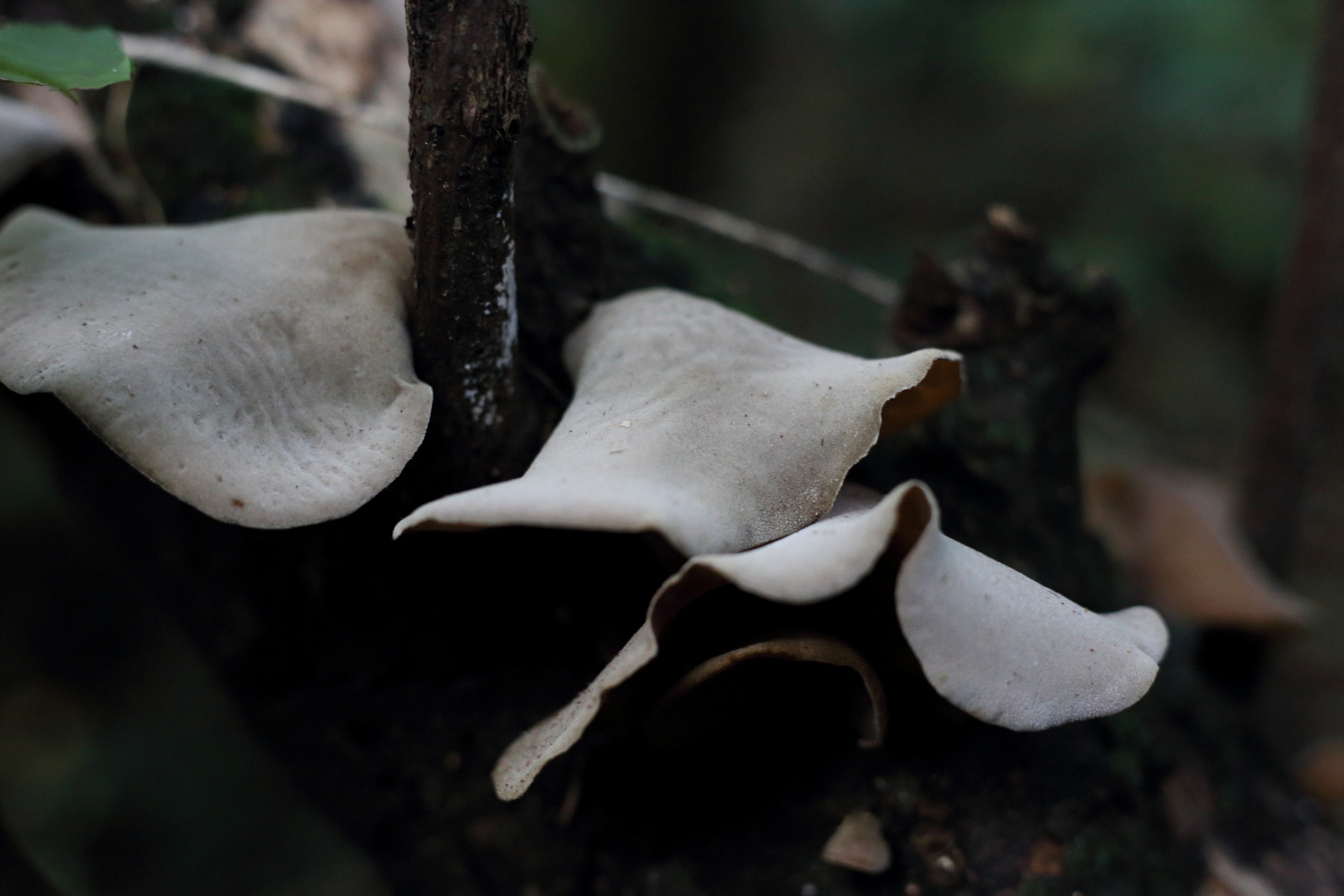
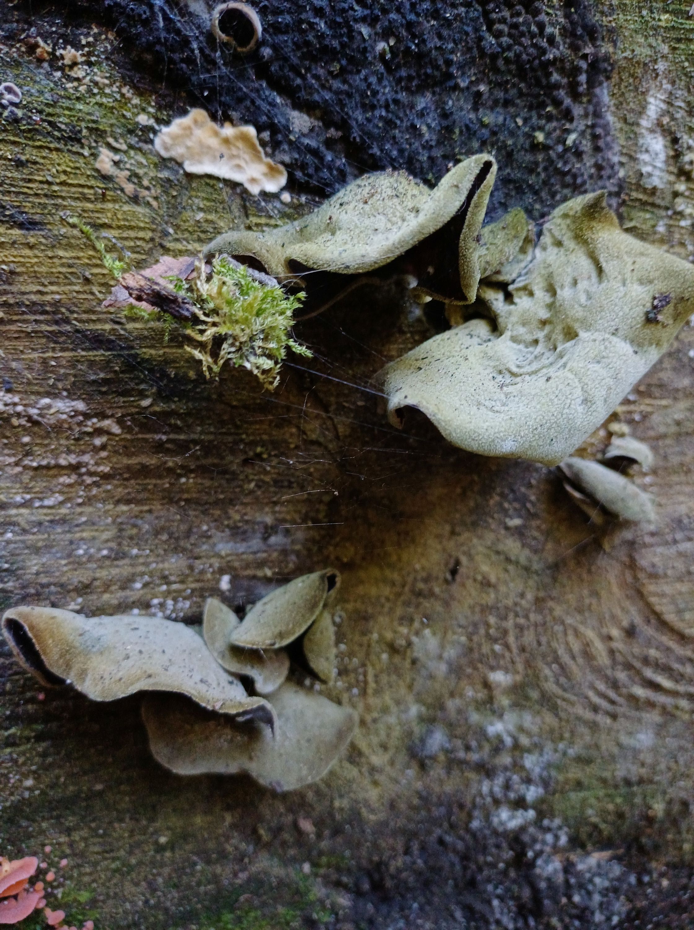
Bracket fungi on pine log 

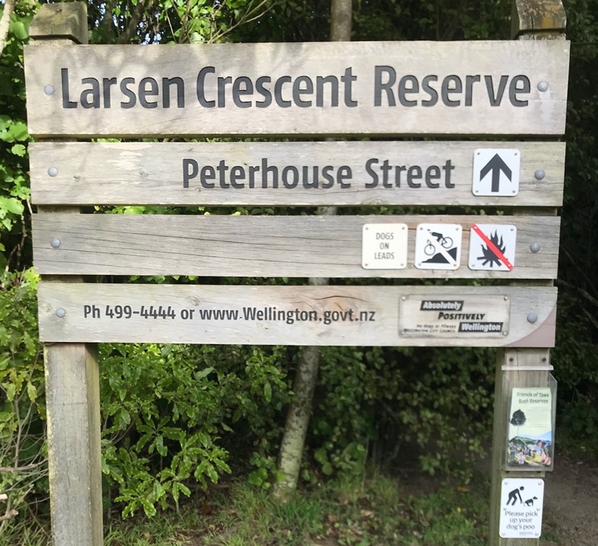
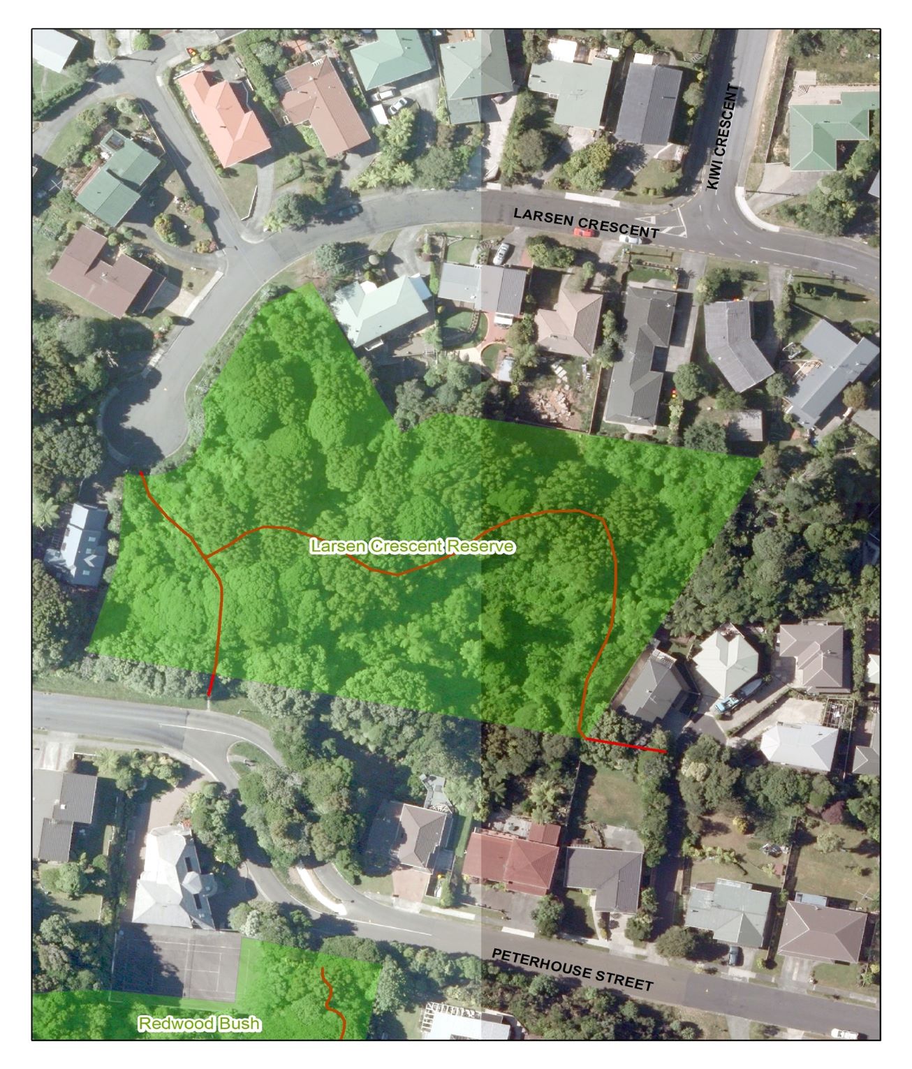
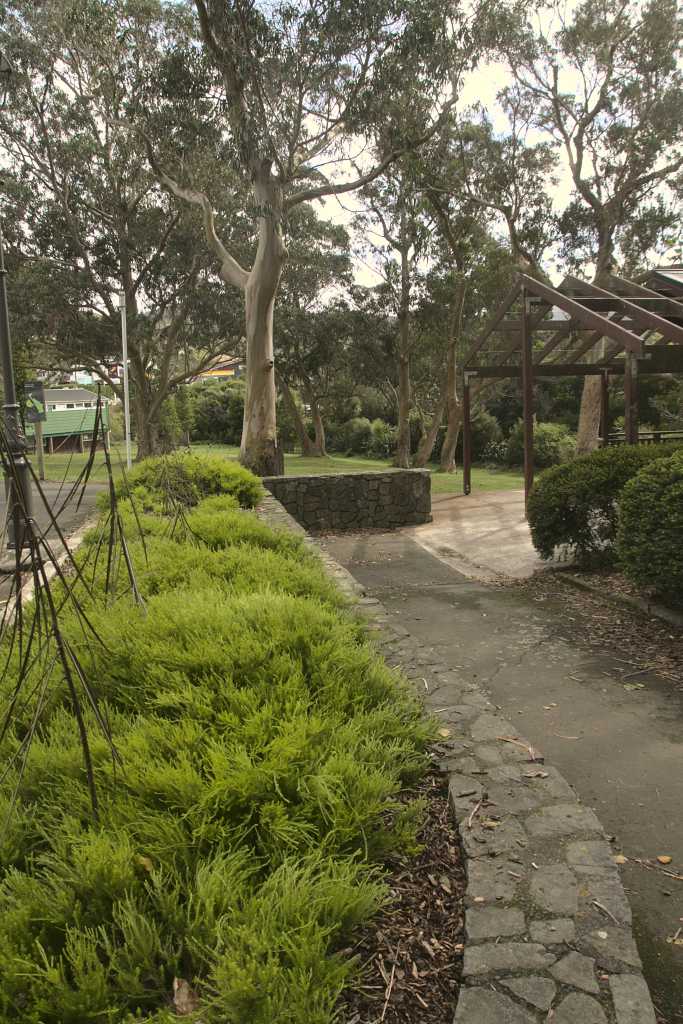
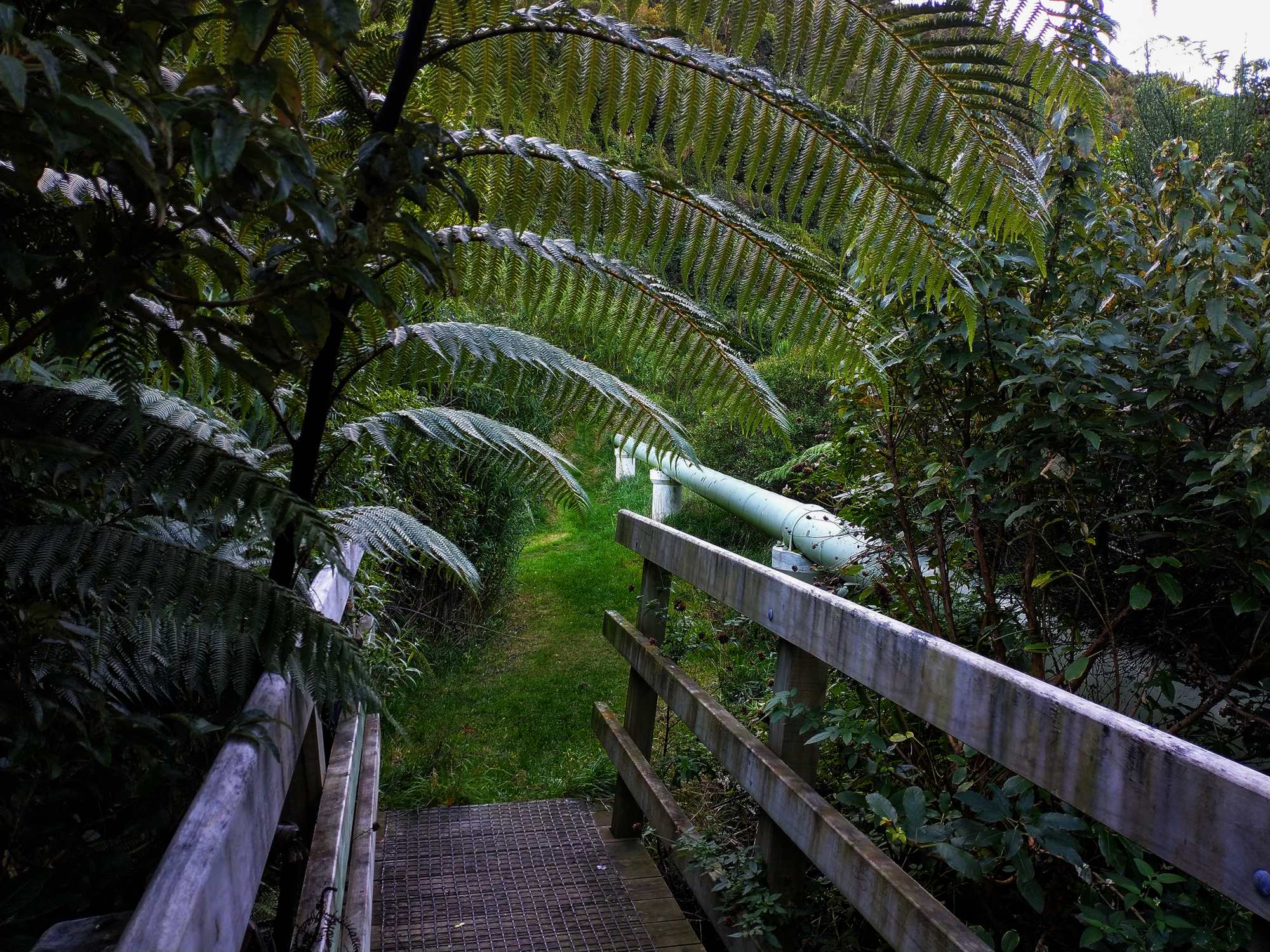
Larsen Crescent Reserve
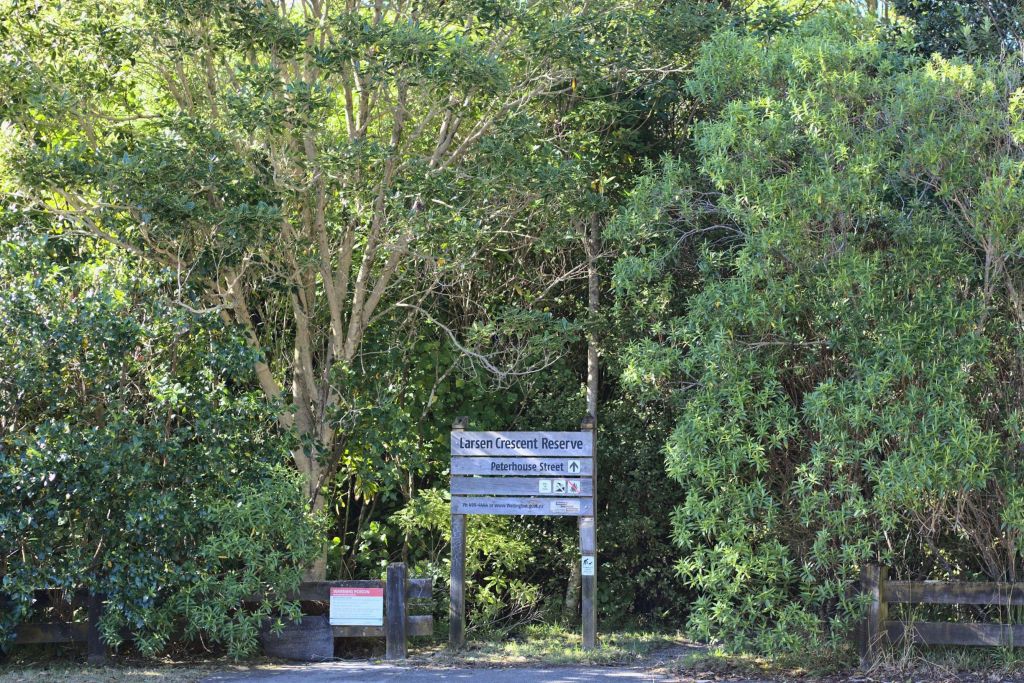

Access:
From Larsen Crescent – next to 104, and from Peterhouse Street – between 13 and 15, and above number 19.
Parking:
In Peterhouse St or at the top of Larsen Crescent.
Views:
None of Tawa as all of the tracks are within the bush.
Terrain:
The track is well defined and undulating and is easy walking. There are a few steps near the intersection of the two tracks as seen on the map. The boardwalks can be slippery in wet weather.
Type of trees:
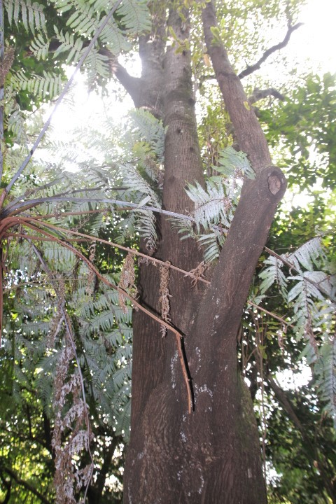
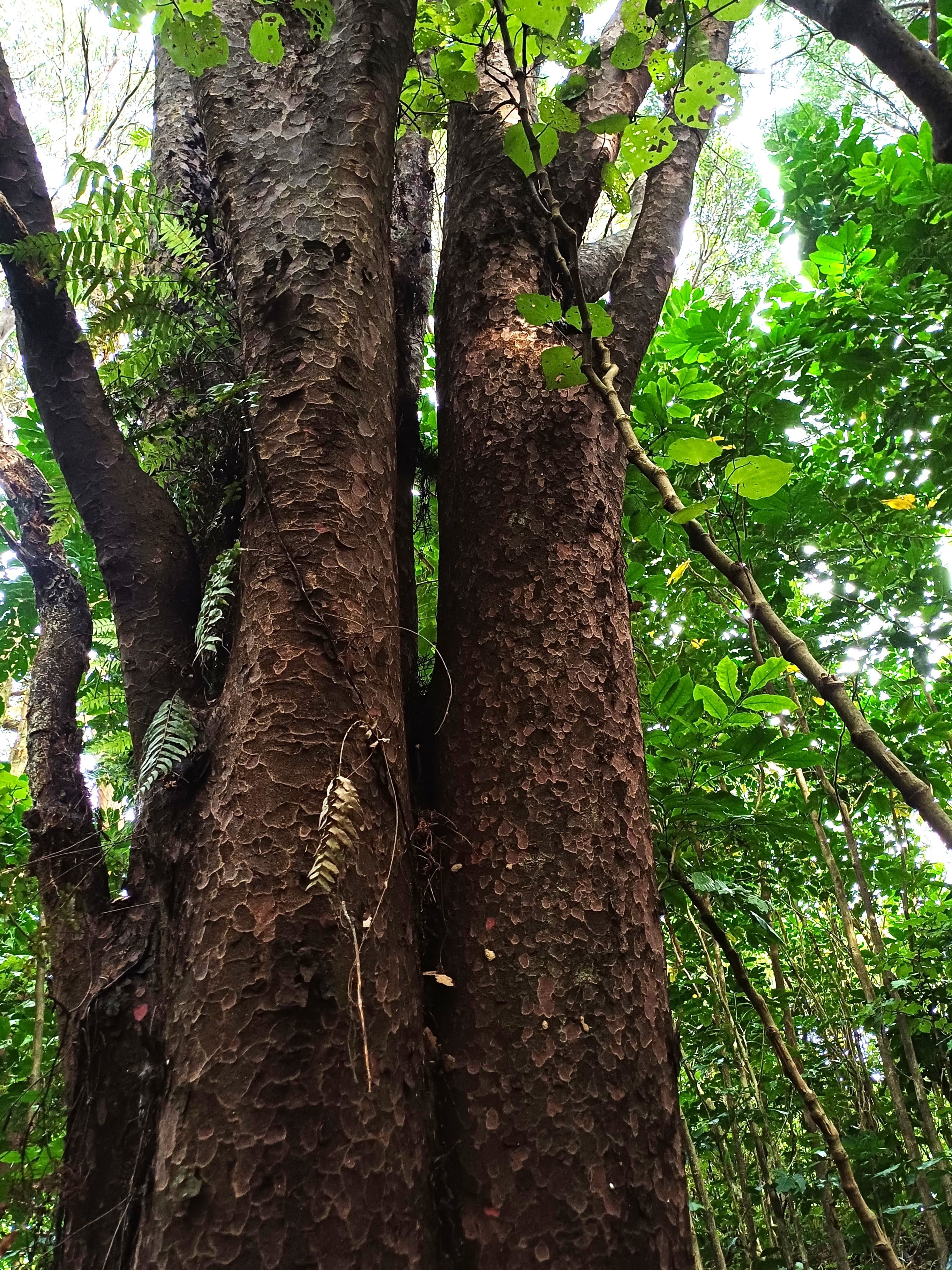
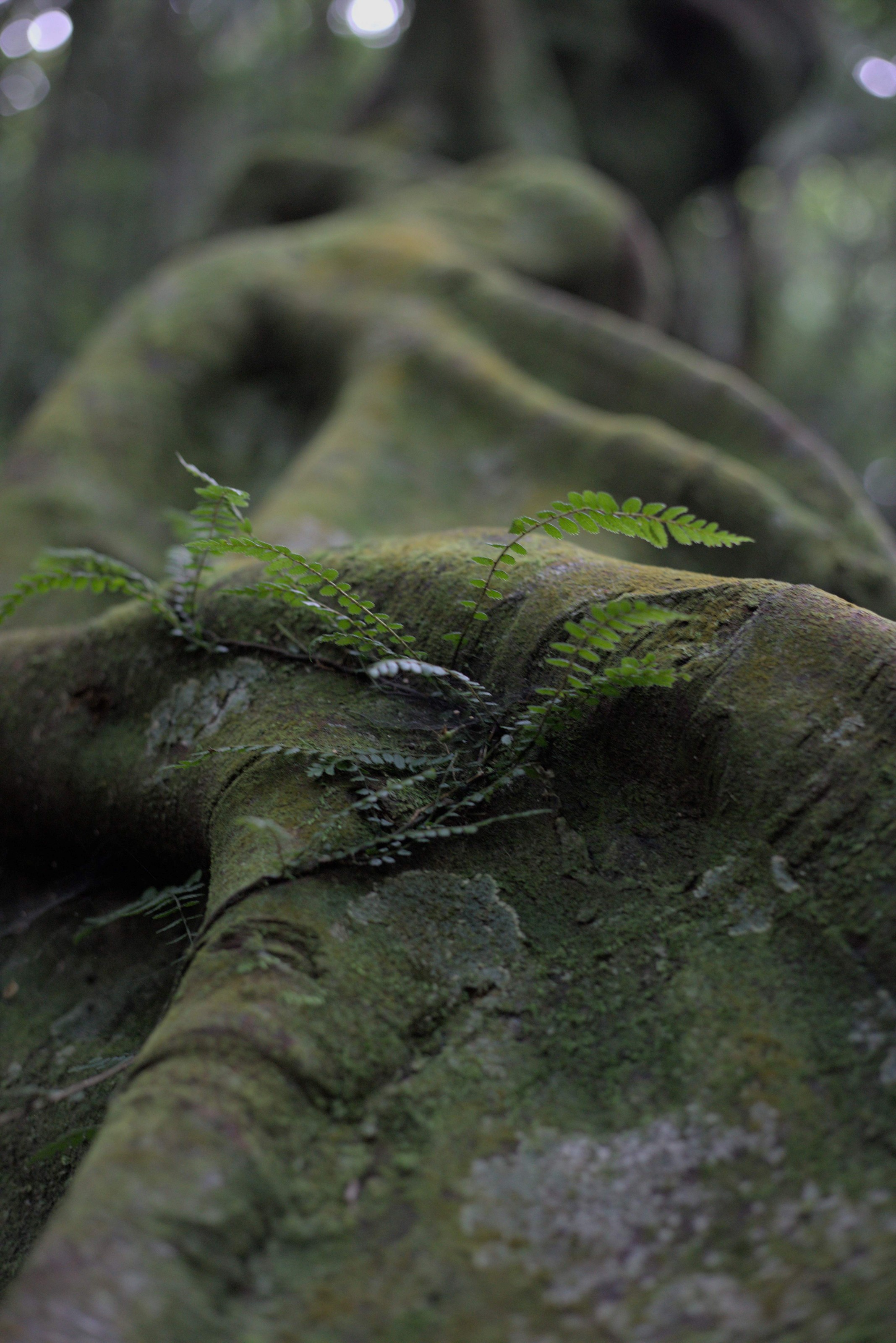
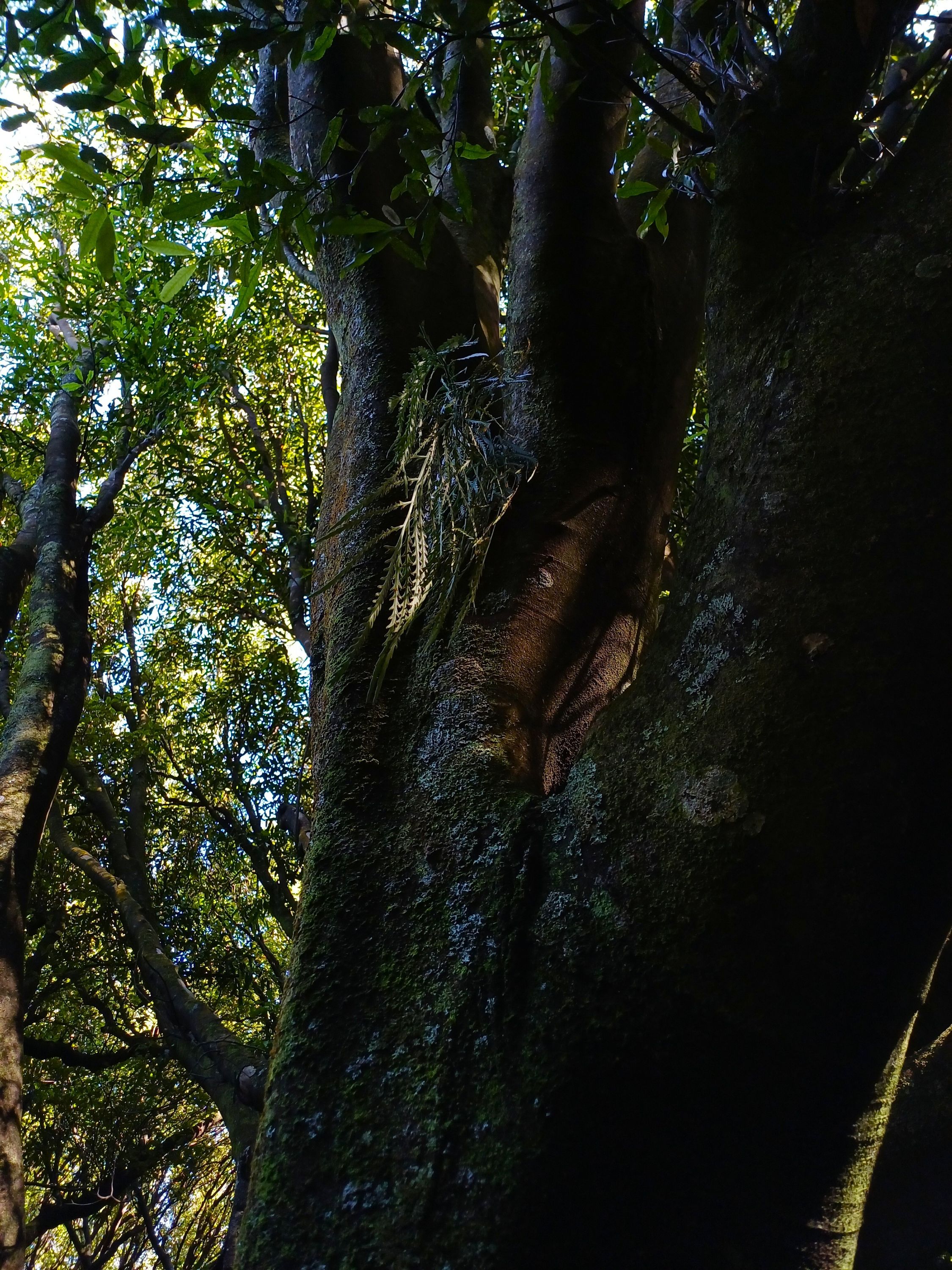
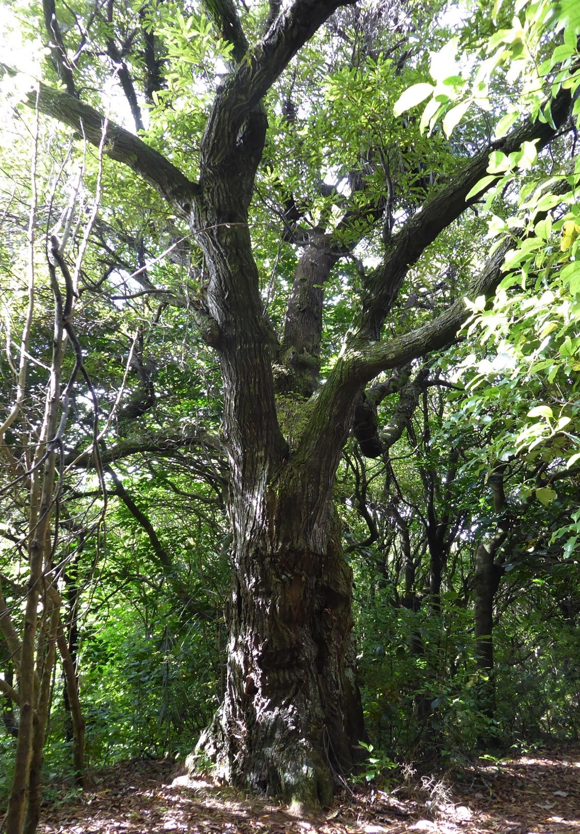
The dominant trees are the mature mataī, with large tawa, kohekohe and tōtara and some pukatea also in the canopy layers. In the shrub layers, karamū, kanono, kawakawa, and hangehange are the predominant trees. At the perimeter of the reserve, whauwhaupaku (five finger), makomako (wineberry), kaikōmako and tarata (lemonwood) are the most common. A karaka tree that was originally planted at the rear of Larsen Crescent has resulted in the establishment of seedlings, although this is not a naturally growing tree for this area. There is prolific regeneration of kohekohe and an expansive ground cover of Blechnum filiforme (pānako or thread fern).
Walking times:
Between Peterhouse St and Larsen Cres using the short track – approximately 5 minutes.
Between 13E Peterhouse St and Larsen Cres using the longer track – approximately 10 minutes.
Off-road pushchairs:
Yes, however assistance will be required for the steps. The track to 13E Peterhouse St is narrow at some points.
History:
Larsen Crescent and hence the name Larsen Crescent Reserve, commemorates the Larsen brothers whose family was of Scandinavian extraction. Larsen Crescent was developed in the 1950s and 1960s by Peter Hibma in partnership with the trustees of the estate of Frederick W. Larsen, farmer and landowner of the southern third of Section 41. The reserve is significant because of the huge mataī trees that were preserved due to local Tawa residents who ensured their retention at a time of expanding housing development in this location. The Wellington City Council bought the land containing the current reserve in 2001 following a public outcry on the proposed felling and housing of the whole area by a developer.
Legal Description:
Lot 1 DP 88116 and Lot 13 DP 27445, part Section 41 Porirua Survey District, and designated Open Space B Conservation Reserve site 5B.


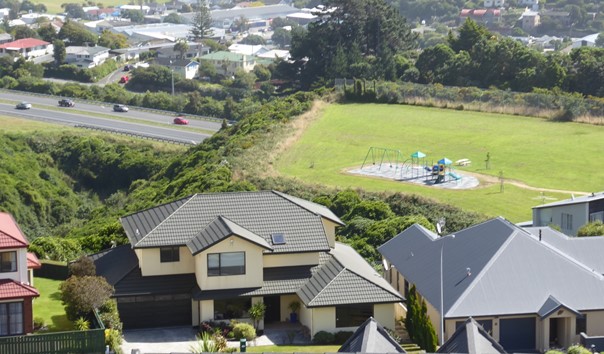
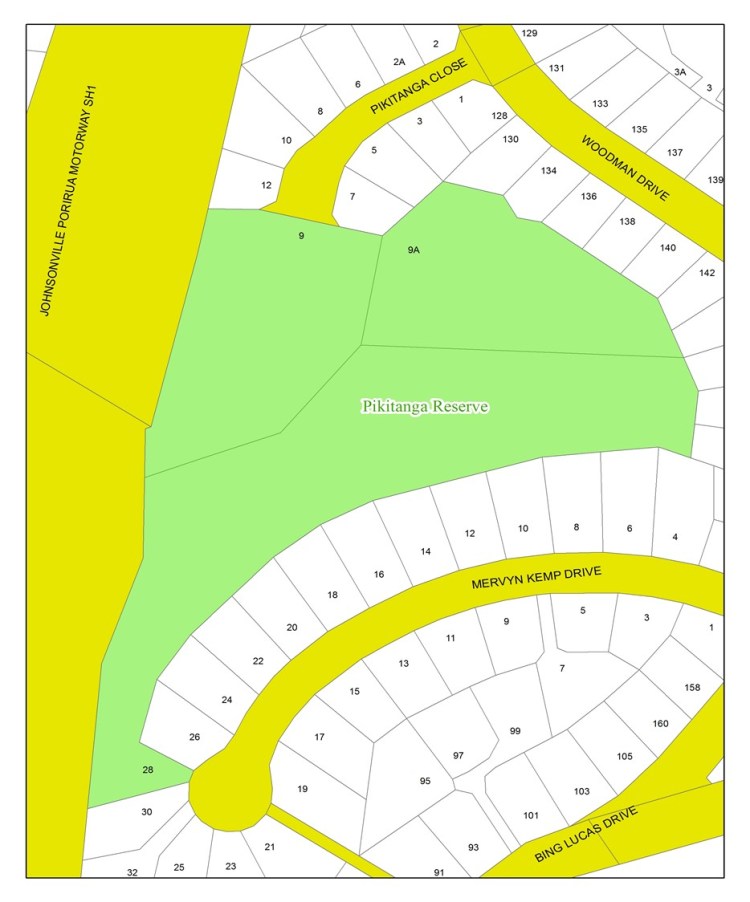
Pikitanga Reserve
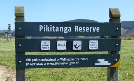

Access
From Woodman Drive, Pikitanga Close is a cul-de-sac and there is immediate flat walking access to the reserve from the end of this street.
Parking
This is at the end of the cul-de-sac, adjacent to housing.
Terrain
Beyond the expansive flat grassed area and the playground, the landscape falls away steeply to the south and east into a low-growing native bush in a gully. The bush continues up the hillside towards housing on Woodman Drive and Mervyn Kemp Drive. To the west, behind a high fence, the land slopes down to the southern-bound SH1 motorway into Wellington.
Views
To the east, there are views of housing in part of Woodman Drive and Mervyn Kemp Drive. The low growing bush is visible in front of the housing. To the west, housing in parts of the southern area of Tawa can be seen, beyond the SH1 motorway.
Types of trees
At the edge of the tall, grassed area, blackberry and gorse give way to dense secondary growth bush, dominated by 2 to 3 metre-high māhoe trees. The vegetation is dense and the slope steep, so no tracks have been developed, apart from giving access to bait stations for pest control by FOTBR. There is a dense cover of low-growing ferns at ground levels.
Below the housing on Woodman Drive, the young bush has areas of gorse that are being overtaken by native tree regrowth. In the steeper gully areas, mamaku (black tree ferns) dominate the landscape.
History of reserve development
Pikitanga Close was established as a housing subdivision in 1995 with the road being laid out in 1998. In 2004, the land that is known today as Pikitanga Reserve was excavated and designated as a ‘park’ with a playground area. The rest of the reserve was too steep for housing development and the remnant bush in this area was left to regenerate.
Mervyn Kemp Drive was developed for housing towards the southern end of the reserve in 2008. It is named after Mervyn Kemp, who was Mayor of Tawa from 1955 until 1983. This period was for the greater part of Tawa’s existence as a borough.
Origin of the name ‘Pikitanga Reserve’
The street name, Pikitanga Close, resulted after the amalgamation of Tawa with Wellington City when a list of Māori words was submitted as potential street names by the Wellington City Council survey office. Another Tawa street, Rangatira Road was also named at a similar time. ‘Pikitanga’ means ‘the ascent of a hill’ and is appropriate for a street set high on the eastern slopes of Tawa. This name also relates to the endemic New Zealand Sinbad skink Oligosoma pikitanga. It is said that ‘pikitanga’ is the Māori translation of the English words ‘mountain climber’, in reference the occurrence of this skink in limited higher altitude habitats
Legal Description:
9 Pikitanga Close, Tawa, Legal Description: LOT 1 DP 81513. Area 0.7275 Ha. Designated a Local Park and as Recreational Reserve and Open Space B.
9A Pikitanga Close, Tawa, Legal Description: LOT 12 DP 90311. Area 0.6540 Ha. Designated as Ecological Park and as as Recreational Reserve and Open Space A.
28 Mervyn Kemp Drive, Tawa, Legal Description: LOT 105 DP 397890. Area 1.4940 Ha. Designated as Recreational Reserve.


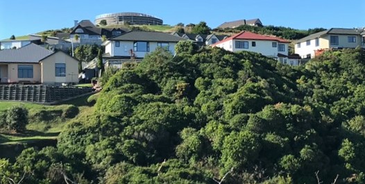
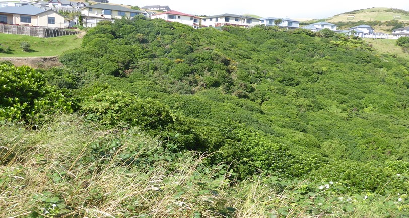
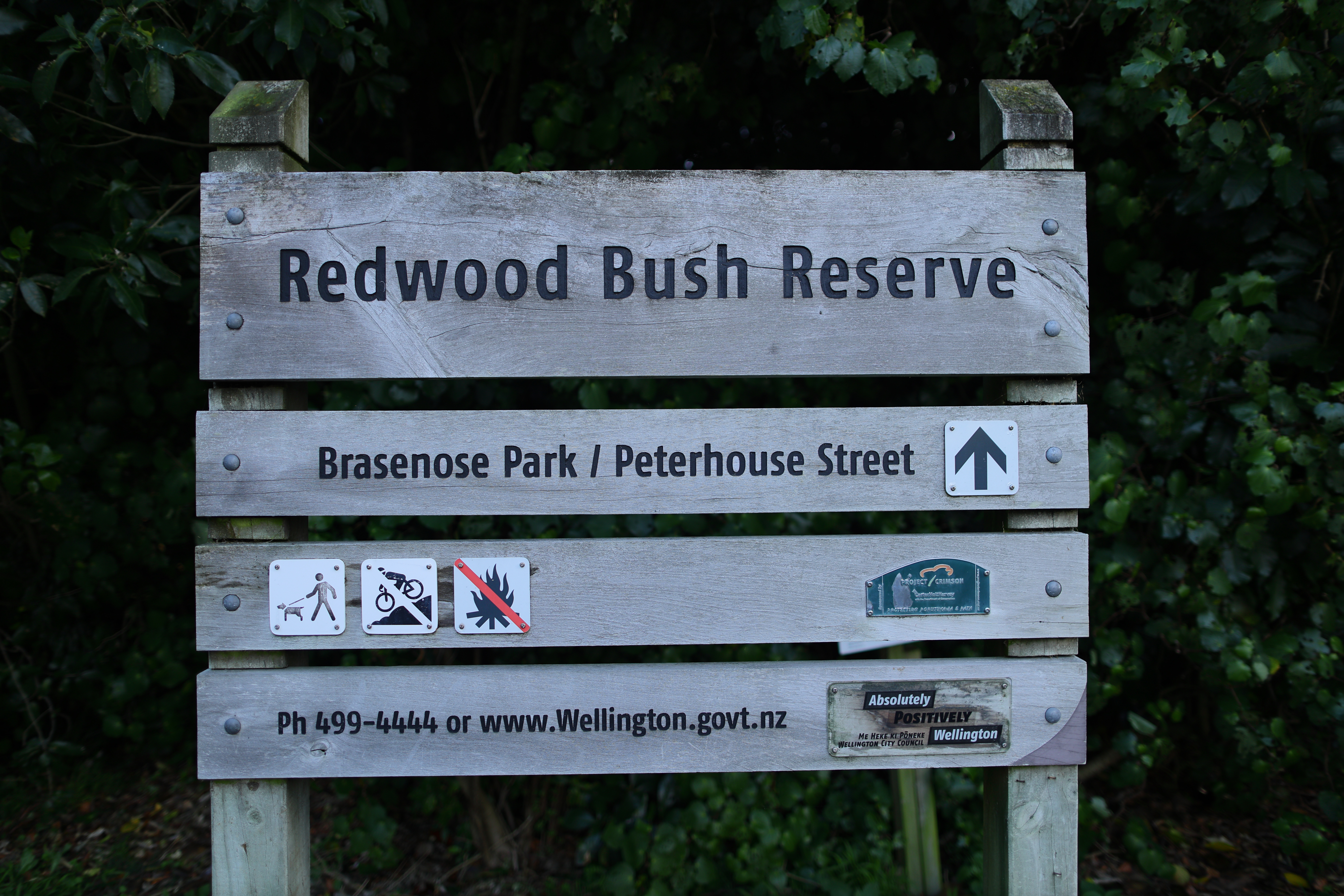
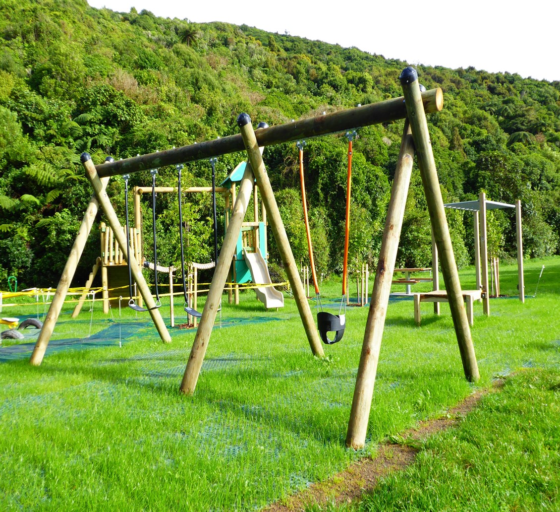
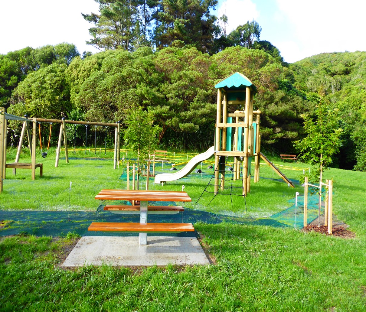
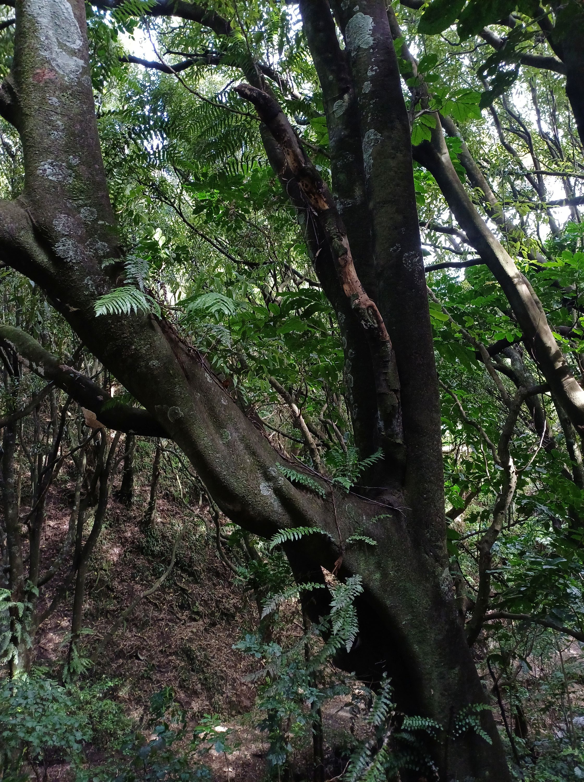
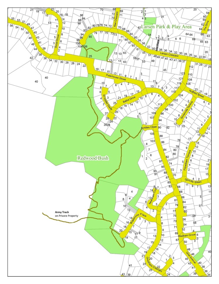
Redwood Bush Reserve
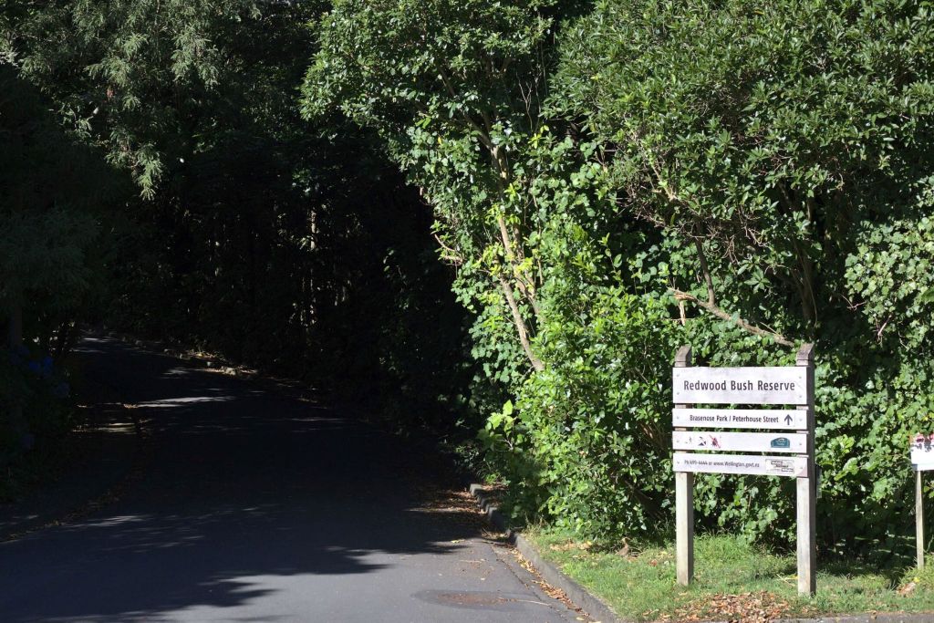
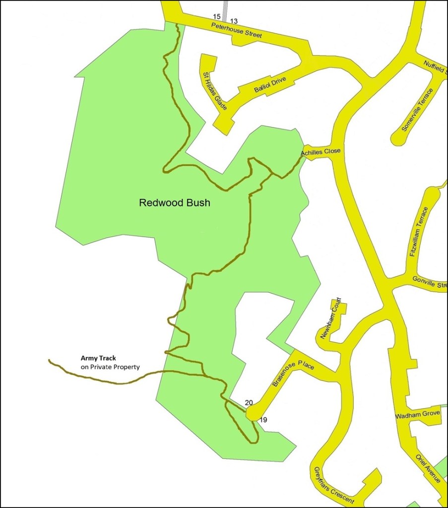
Access:
There are three access points. Enter the reserve from Achilles Close by the driveway to number 5, or from Peterhouse Street above number 10, or from Brasenose Place above number 20.
Parking:
In Achilles Close, or Peterhouse St, or Brasenose Place depending on where you want enter the reserve.
Views:
Minimal views of Tawa as all of the tracks are within the bush. There are the odd glimpses of Tawa between the foliage of the trees. There are two seats between Achilles and Peterhouse, and one between Achilles and Brasenose.
Terrain:
The tracks generally follow the contours of the bush.
The track between Achilles to Brasenose is dirt with some reasonably steep sections. There are many flights of steps with a total of approximately 260 steps. The track between Achilles and Peterhouse is dirt and is generally undulating with some moderately hilly and narrow sections.
Type of trees:
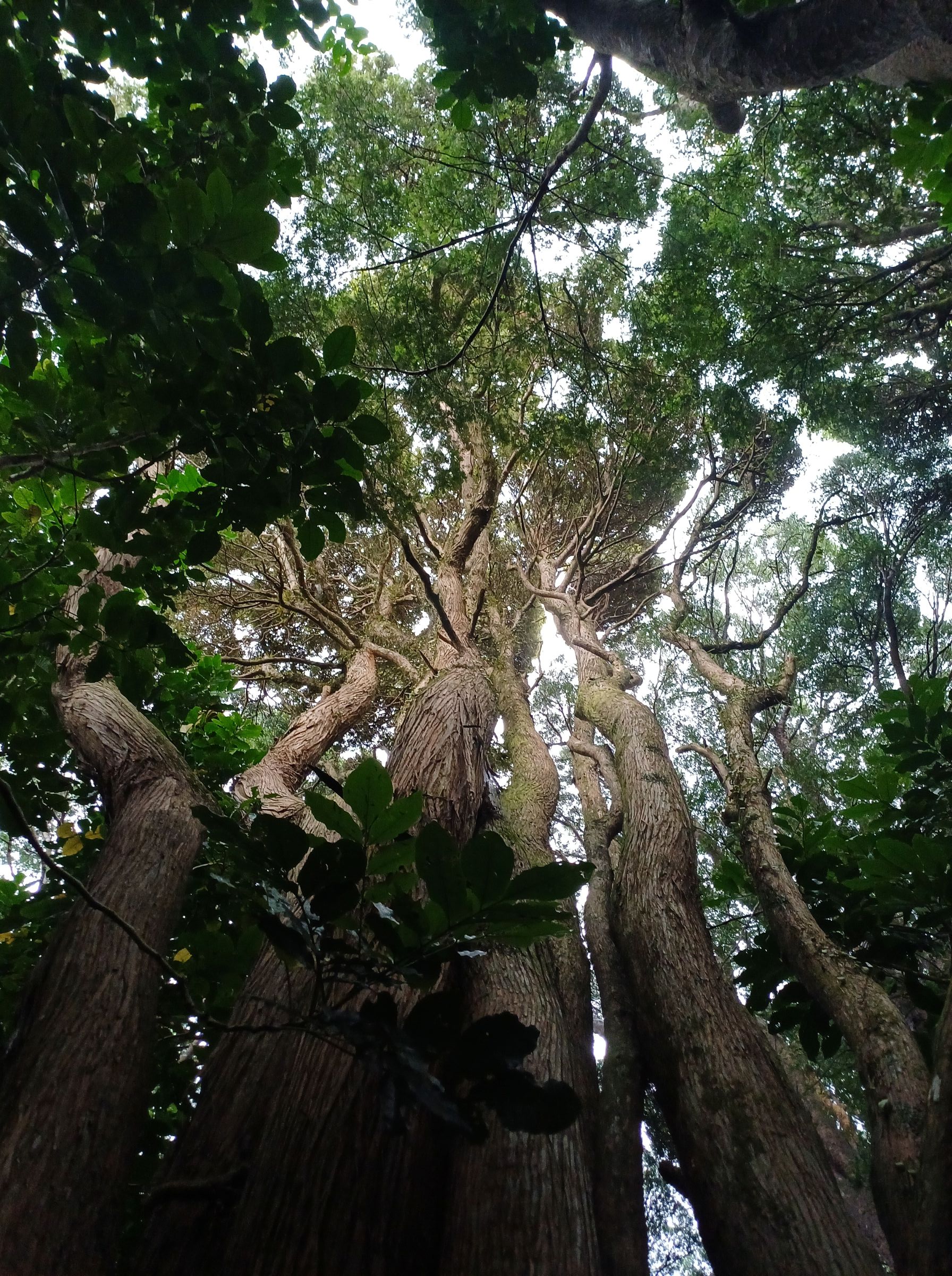
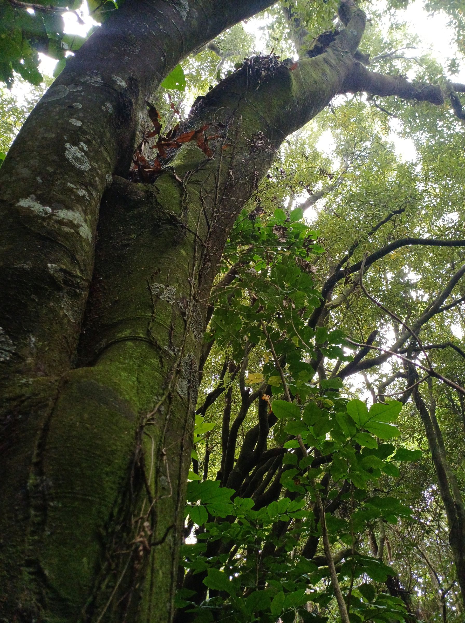
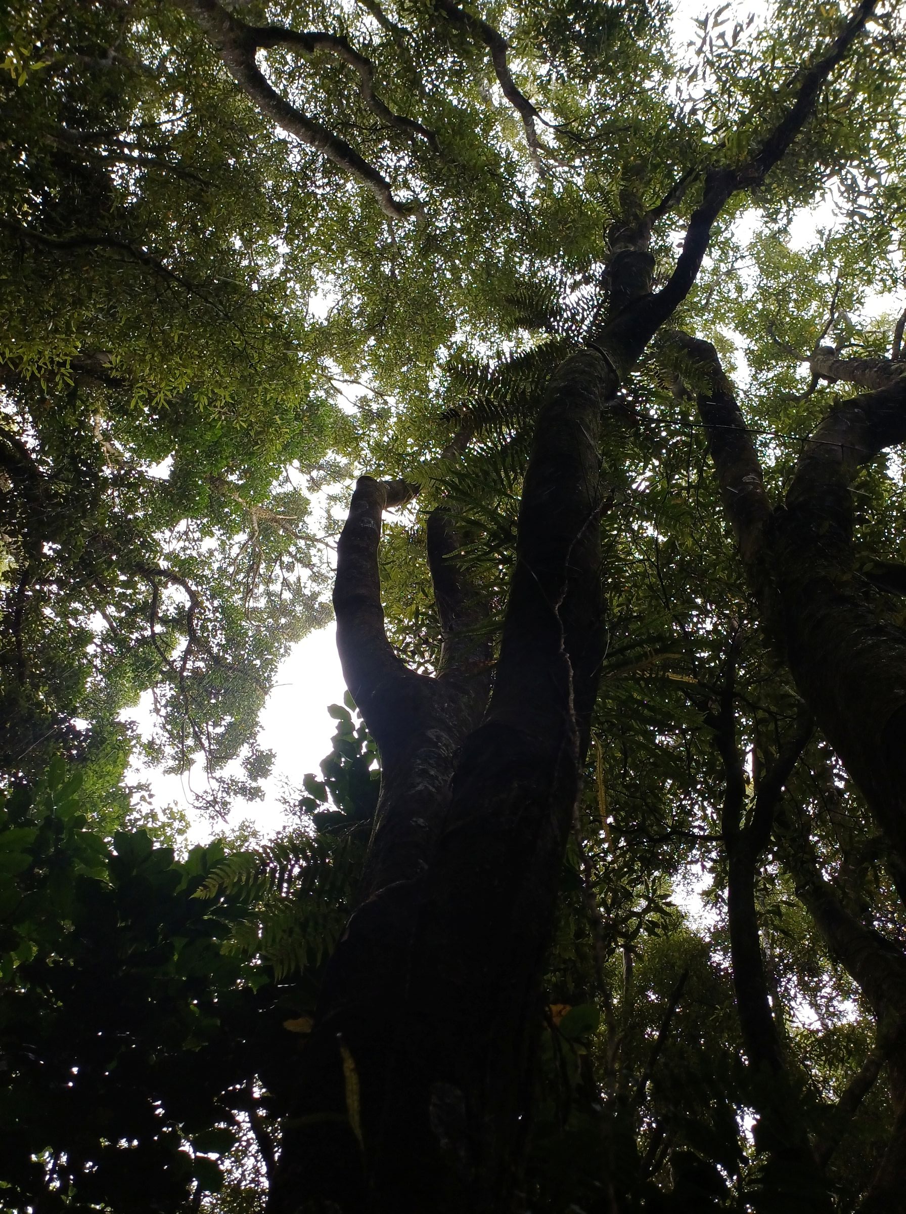
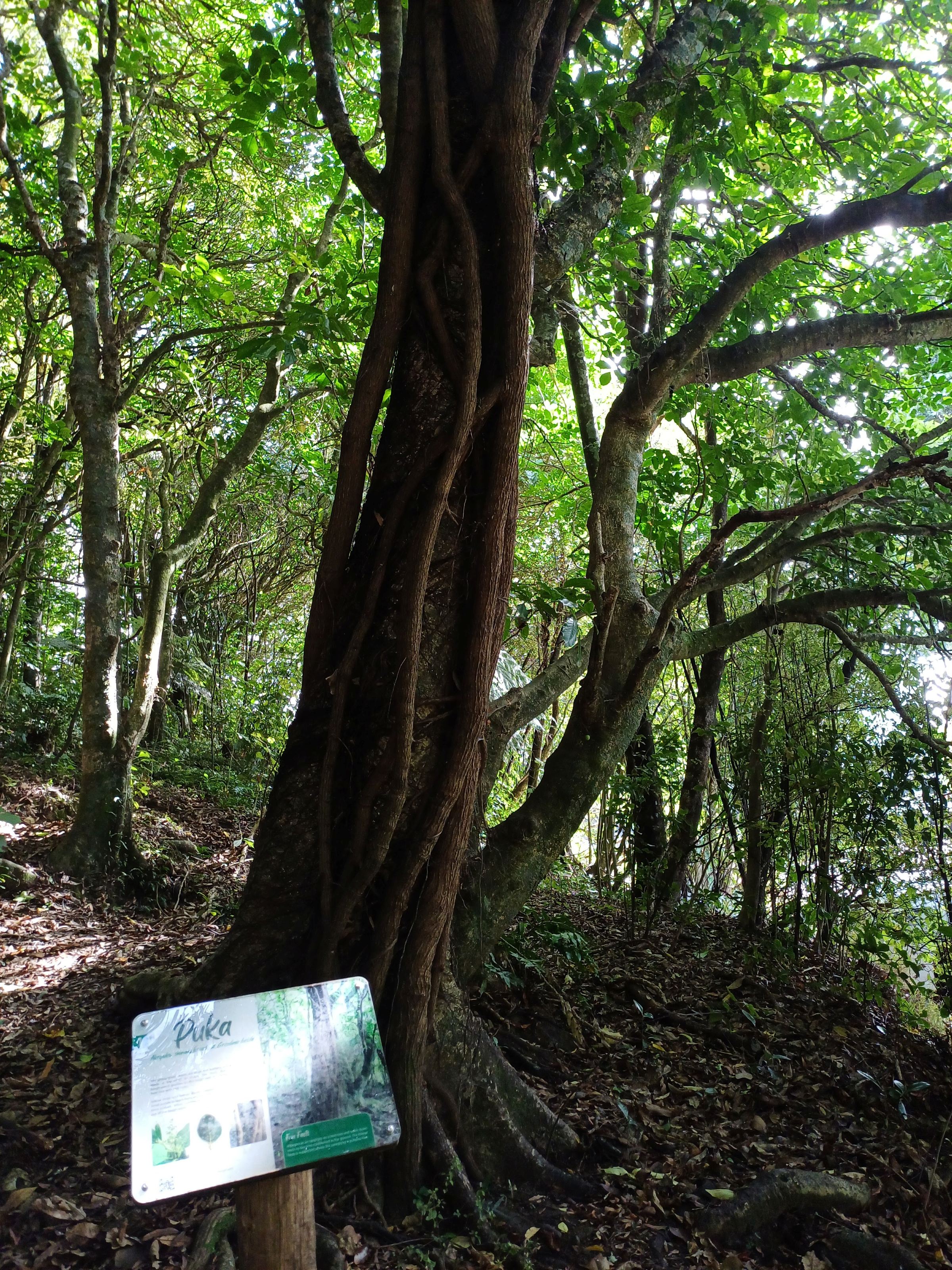
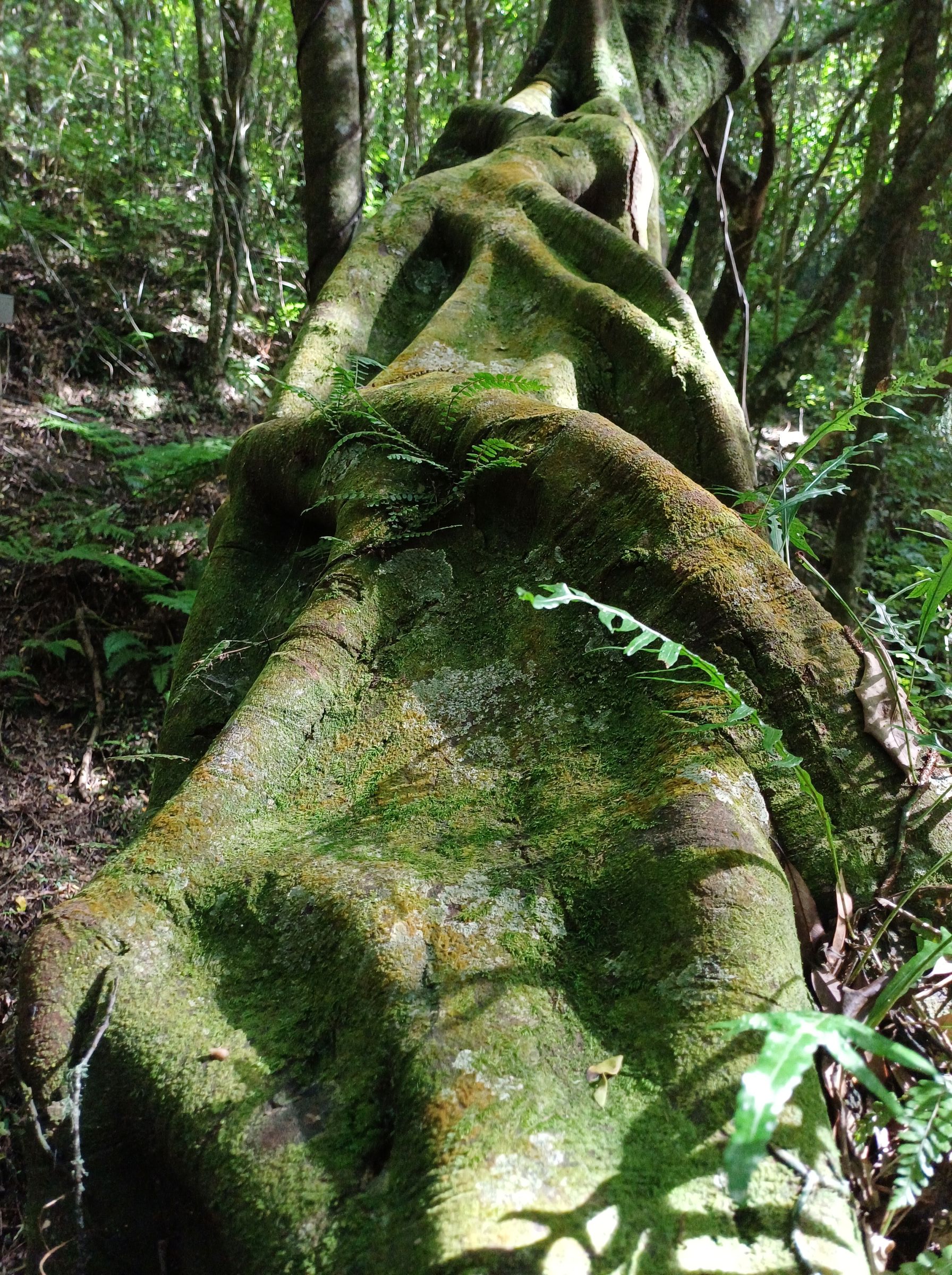
The regenerating bush near Brasenose Place is younger than that near the Achilles Close and Peterhouse streets. Overall, the canopy trees near Brasenose Place entrance are at a lower level with mahoe common, while tarata, puka, fivefinger, rangiora, kanono, and akeake are present at lower levels. Also, young podocarps such as rimu, totara, and kahikatea have been planted. This contrasts to the other two entrances where mature tawa and kohekohe are dominant on entry to the bush. On the path between Achilles and Peterhouse there are many thriving clumps of filmy ferns but also some huge pukatea that show their large buttress roots. The huge tawa in the gully are reputed to be the biggest in Tawa.
Walking time:
Between Achilles and Peterhouse approximately 15-20 minutes, and between Achilles and Brasenose approximately 20-30 minutes.
Off-road pushchairs:
Yes, for the track between Achilles and Peterhouse although there are some moderately steep and narrow sections.
However, pushchairs are not suitable on the track between the Achilles and Brasenose entrances as there are many flights of steps.
History:
The Redwood subdivision was built on farmland acquired from the Catholic Church on the condition that it be named to honour the late Archbishop Francis Redwood, Archbishop of Wellington in 1874. In 1887, he became the Catholic Bishop of New Zealand and was the first life member of the Early Settlers and Historical Society of Wellington. Redwood Bush forms part of the larger Redwood Bush Key Native Ecosystem area and is part of the WCC Outer Green Belt.
The tracks were opened by the then mayor Kerry Prendergast in 2004 and 2005.
Legal Description:
Lot 1 DP59929, Lot 21 DP 48877, Lot 23 DP48578 and Lot 26 DP 52654 (CT 30A/65), part Section 36 and 38 Porirua Survey District, and designated Open Space B Conservation Reserve site 5B.
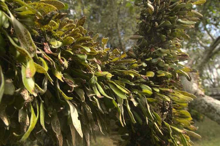
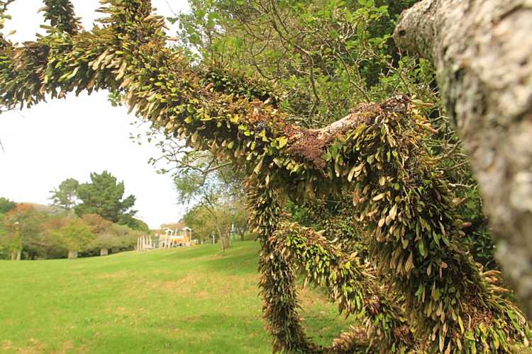
Akapuka – a hemiepiphyte on a Pukatea tree 

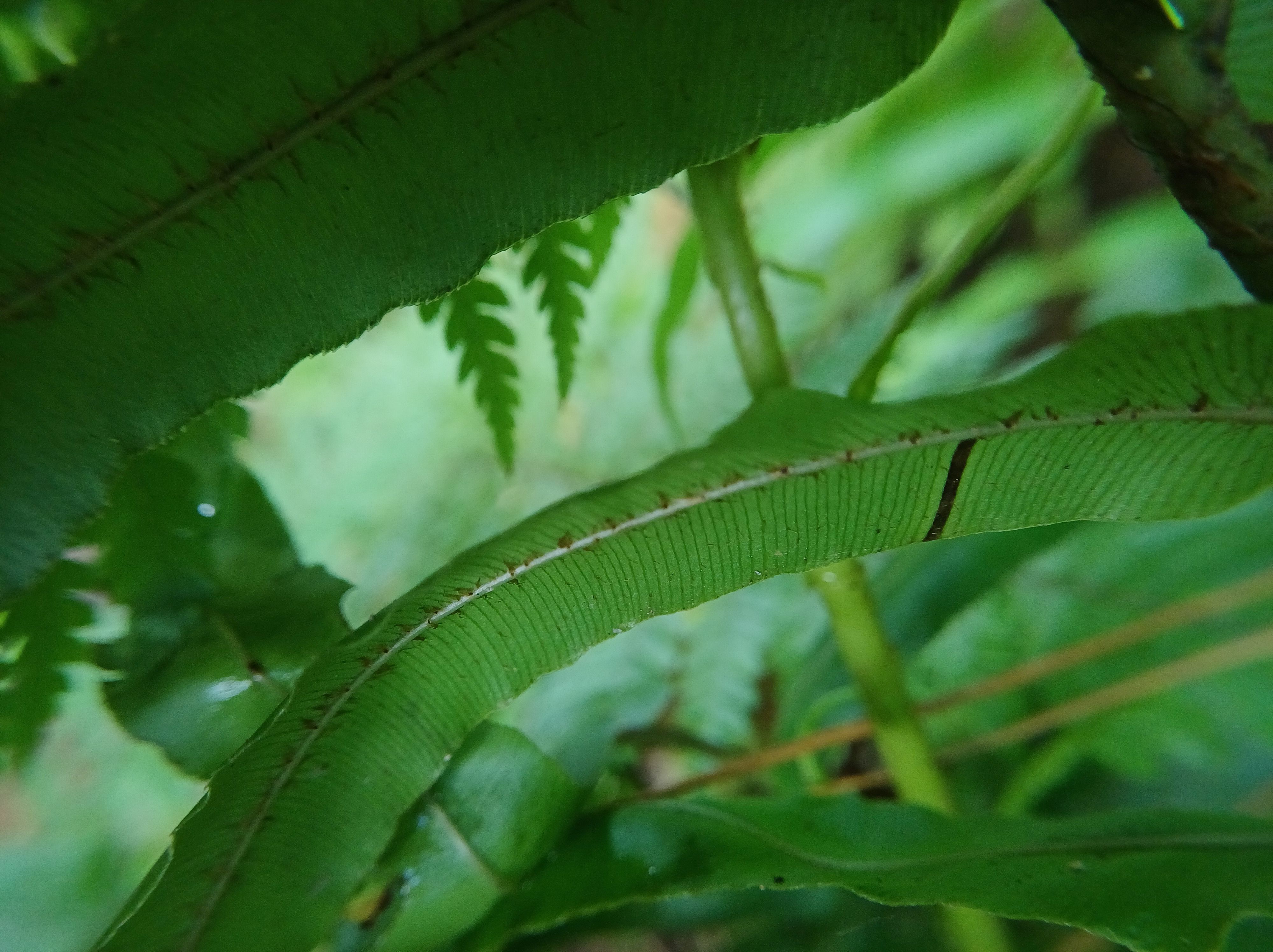
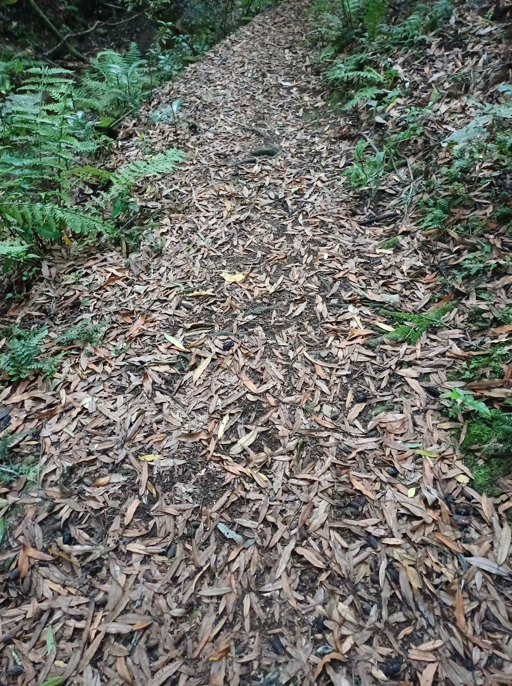
Tawa leaves on forest floor 
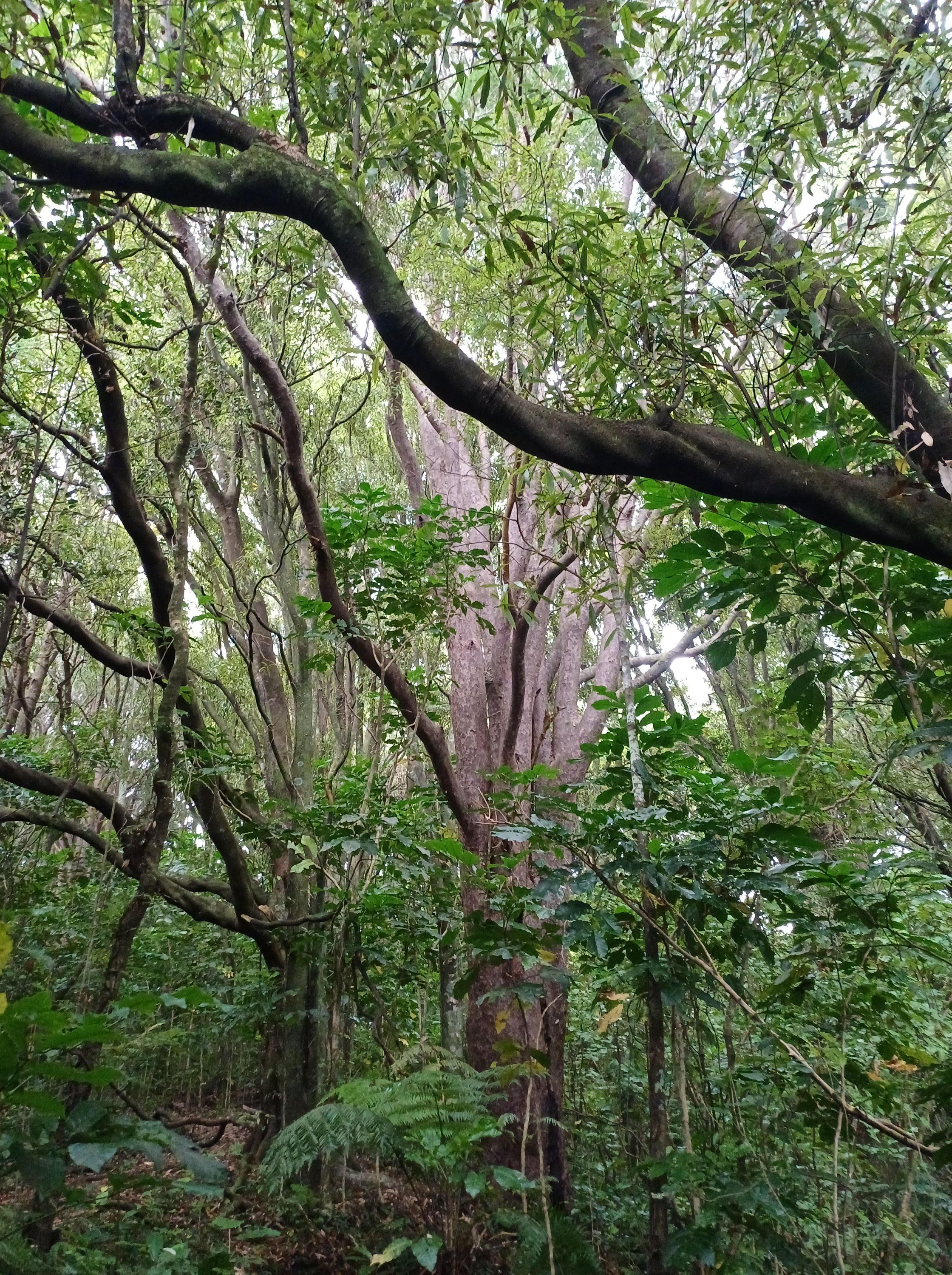
Tawa trees 
Nīkau 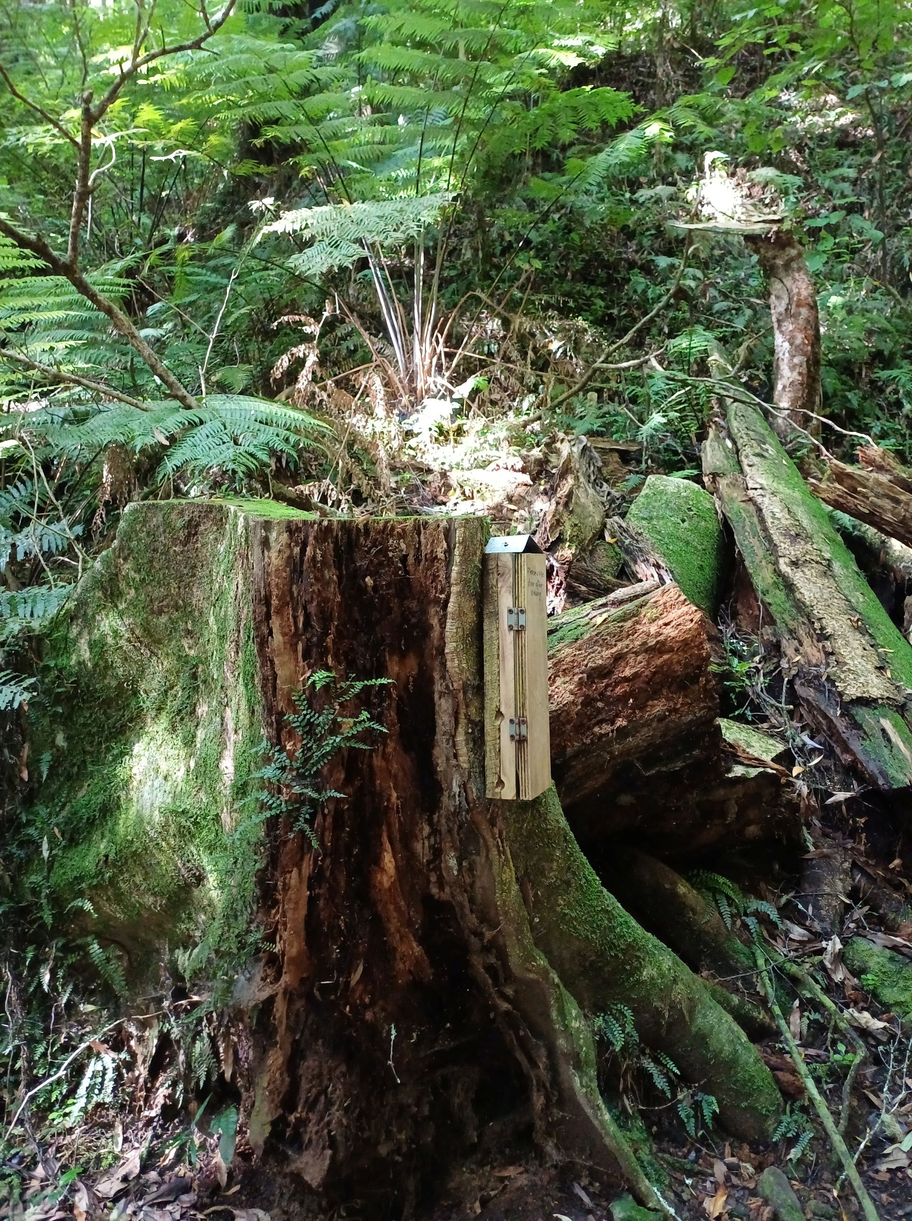
Wētā hotel 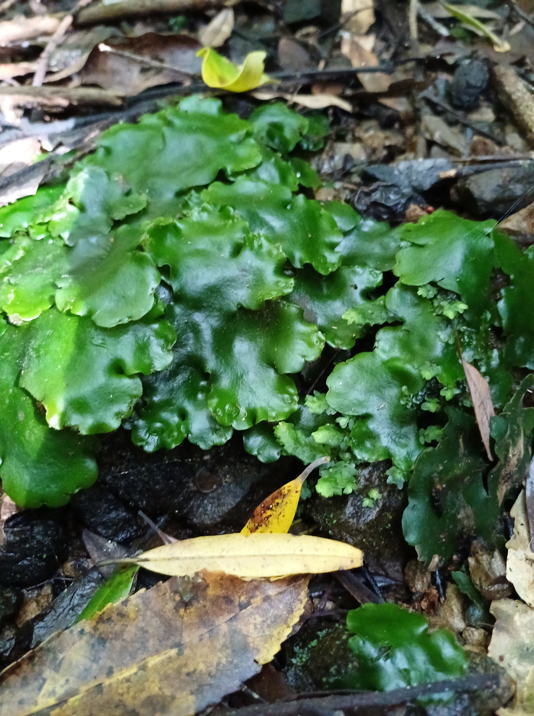
Monoclea forsteri 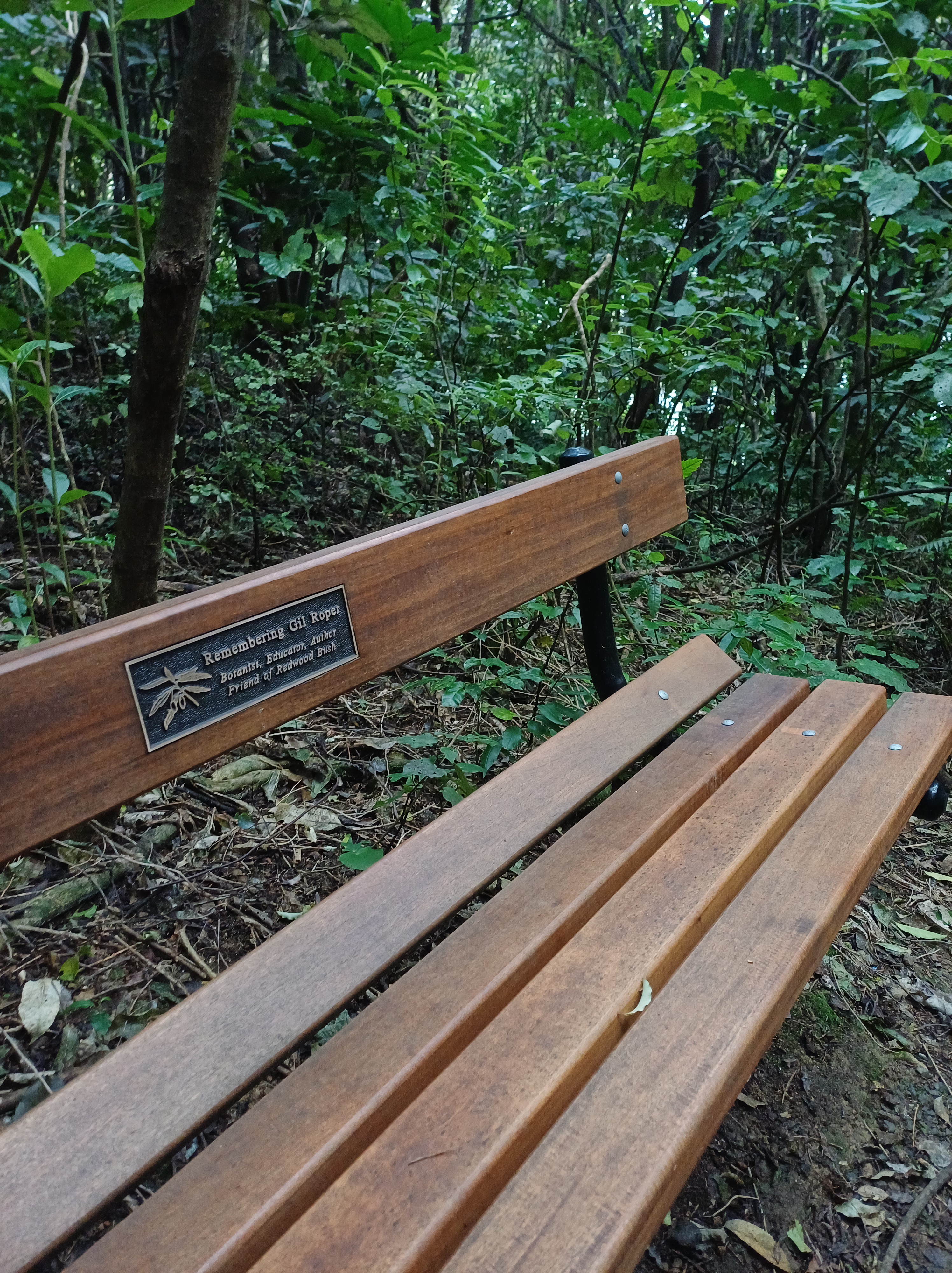
Gil’s seat 
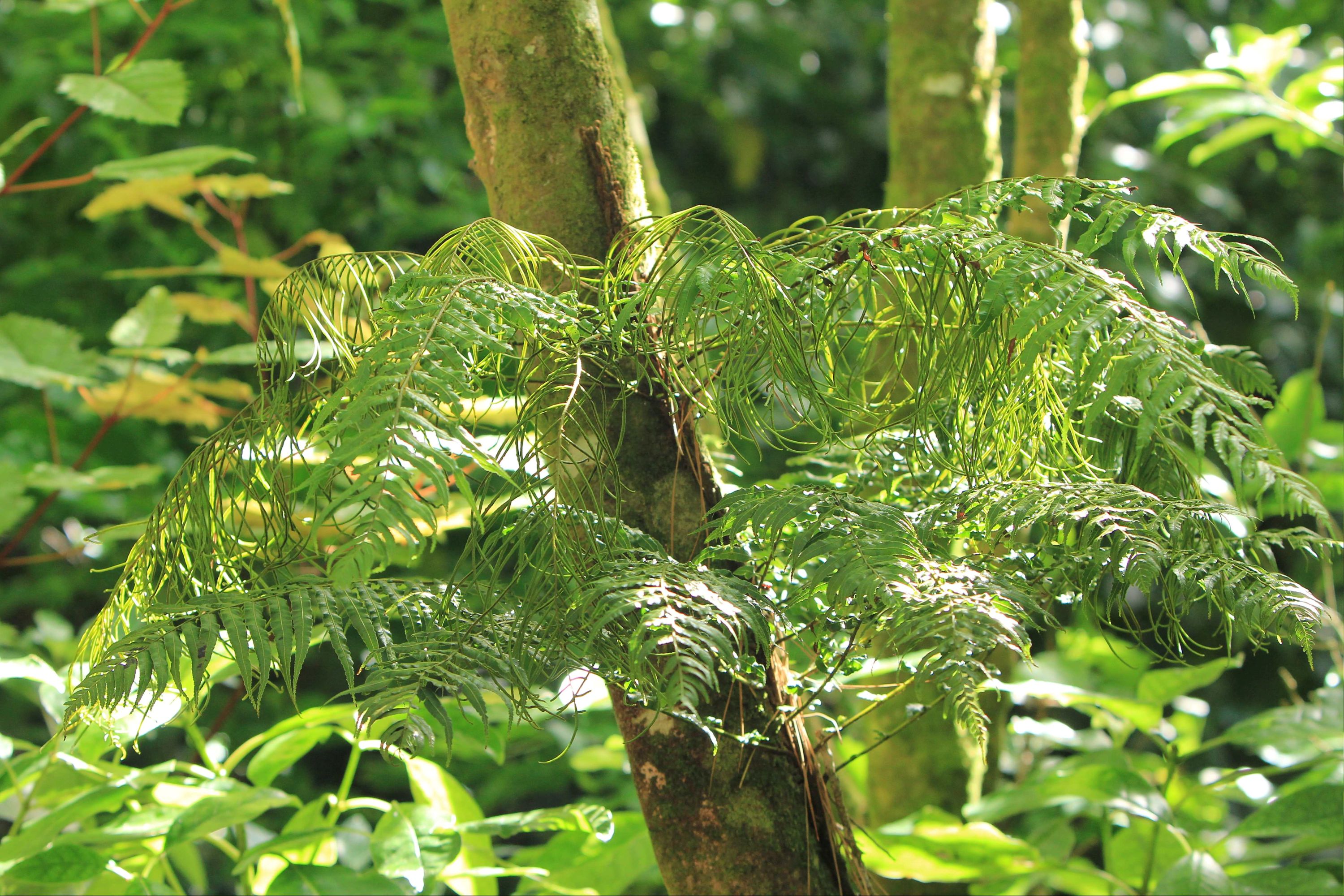
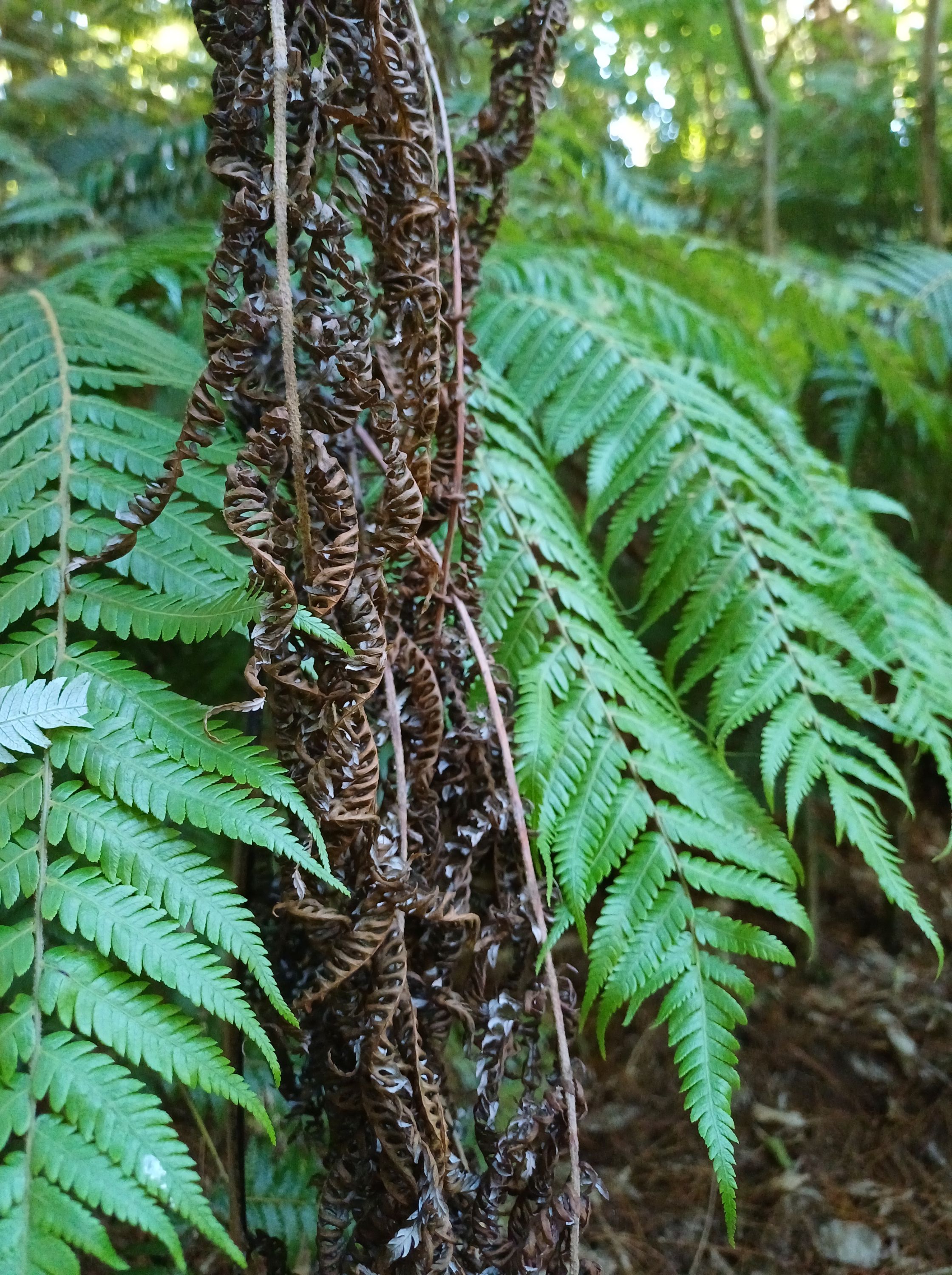
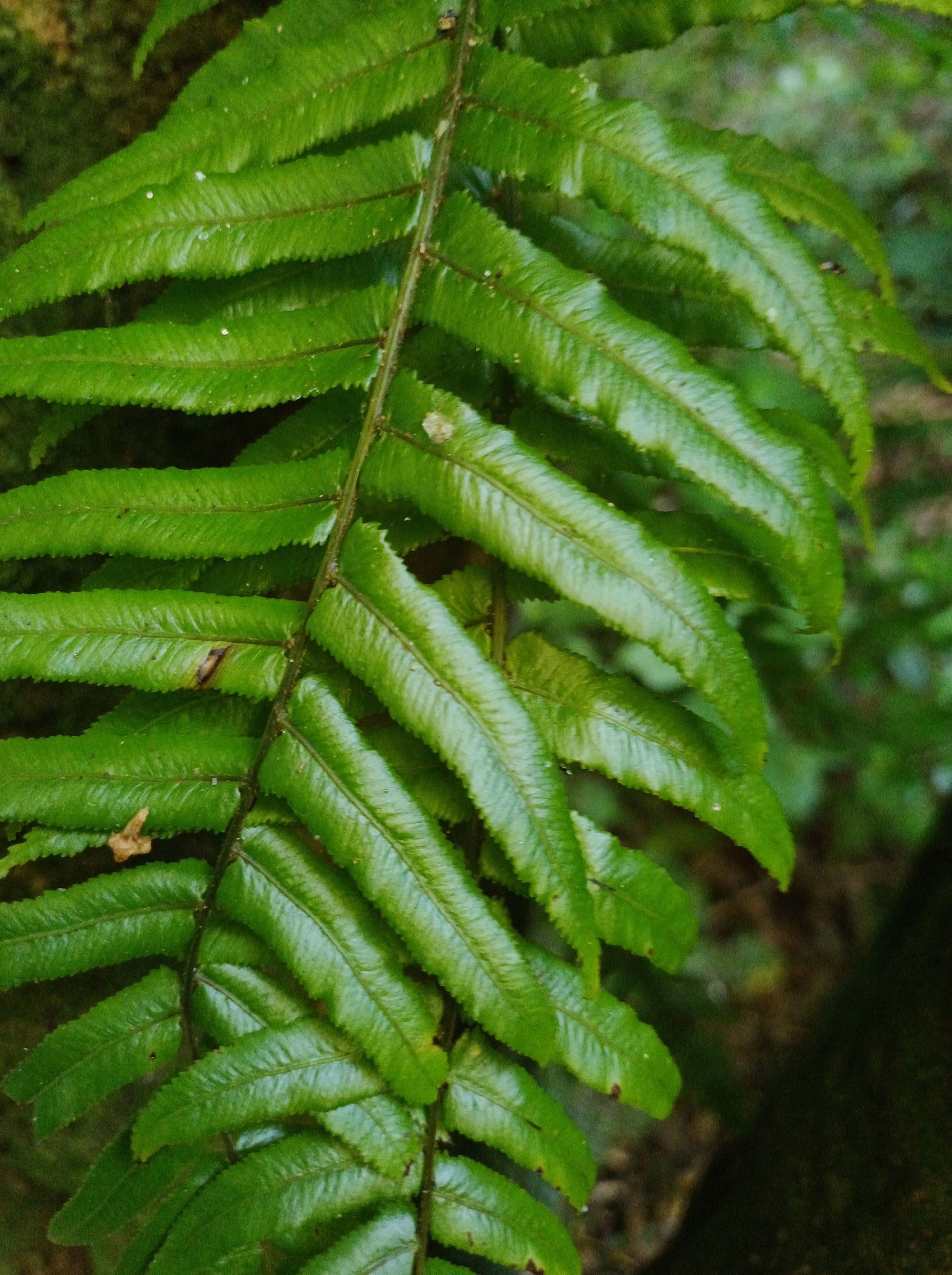
Filmy fern and Fragrant fern 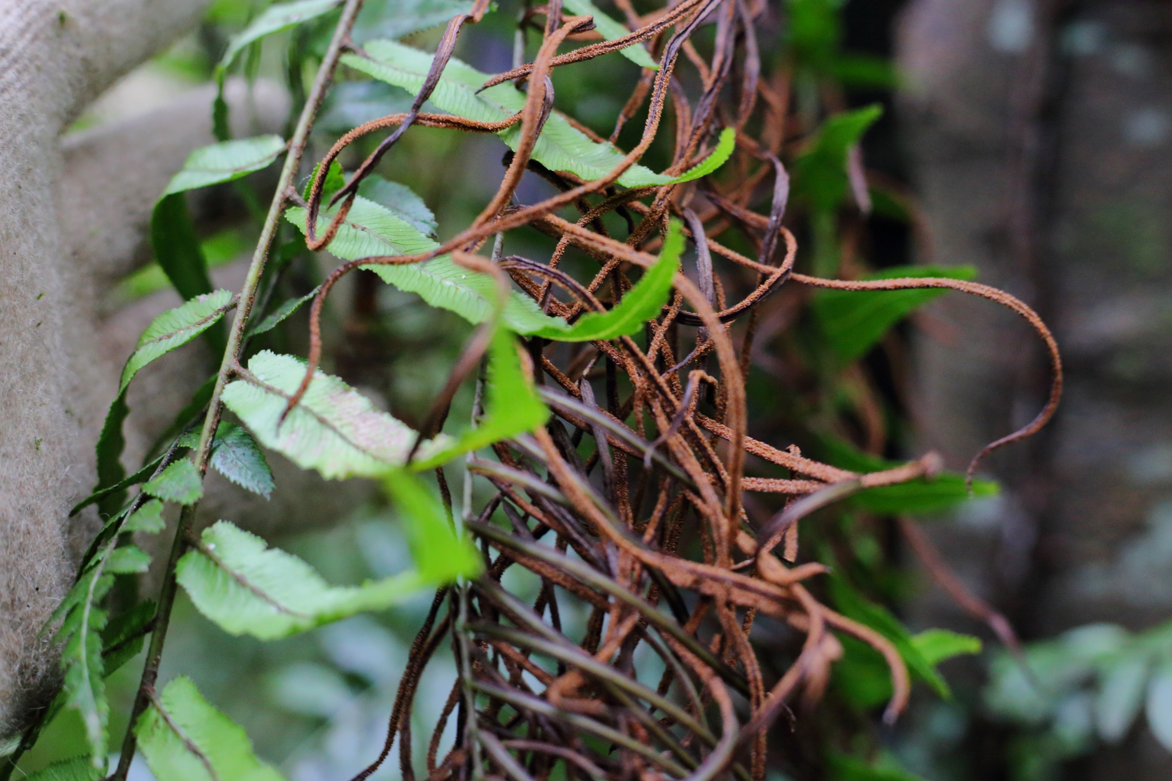
Pānako – Thread fern 
Fragrant fern 
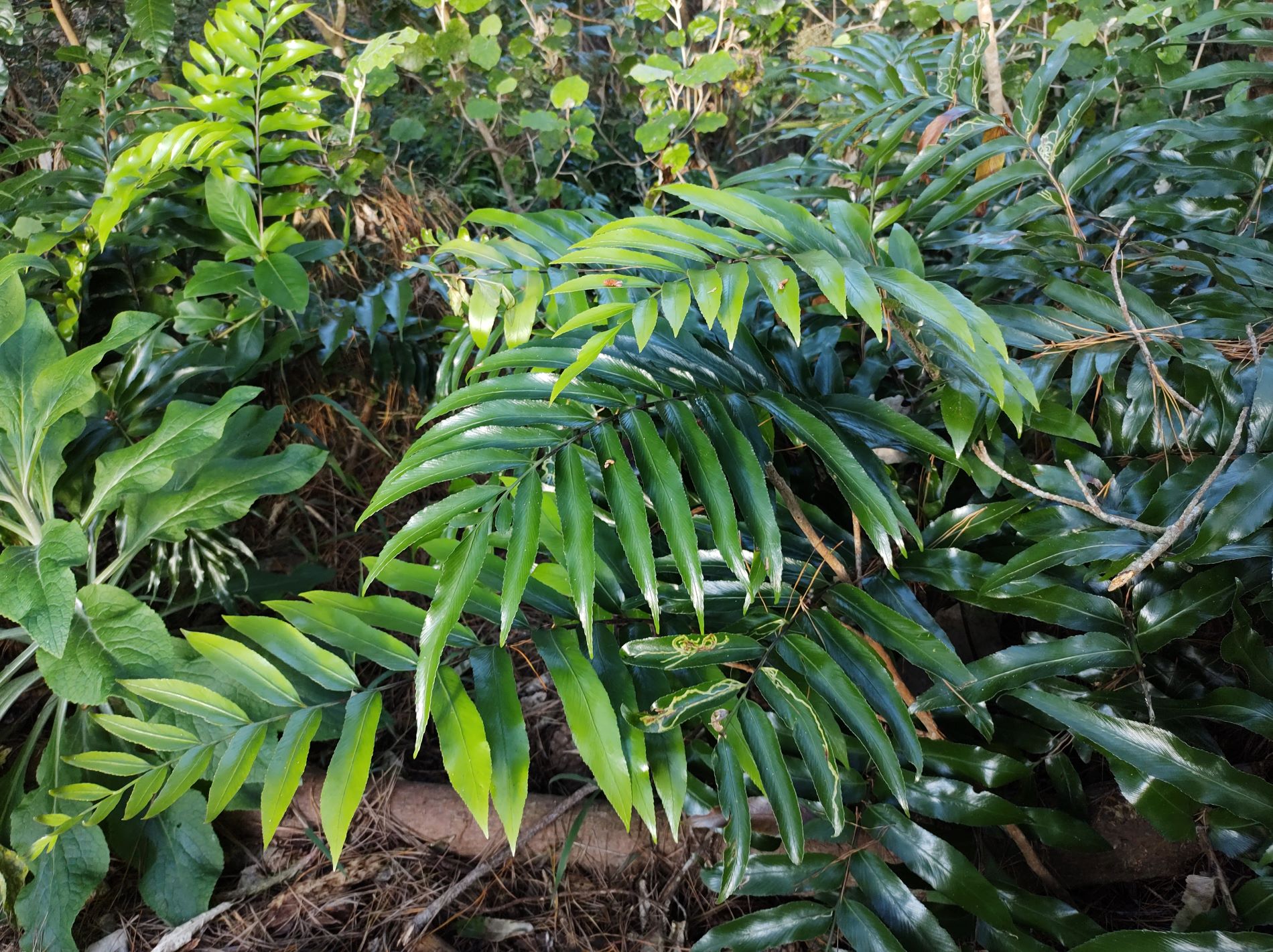
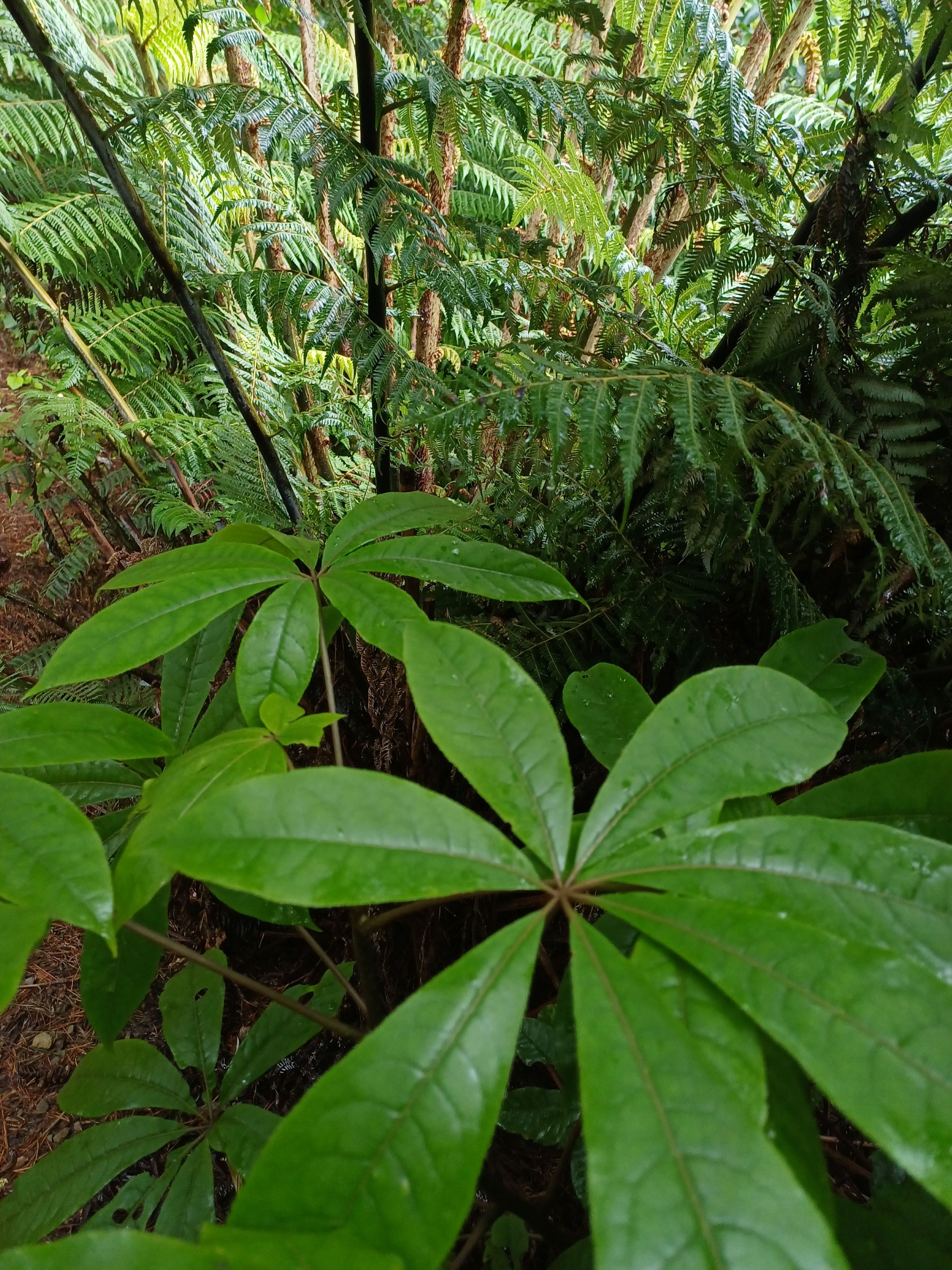
Whauwhaupaku 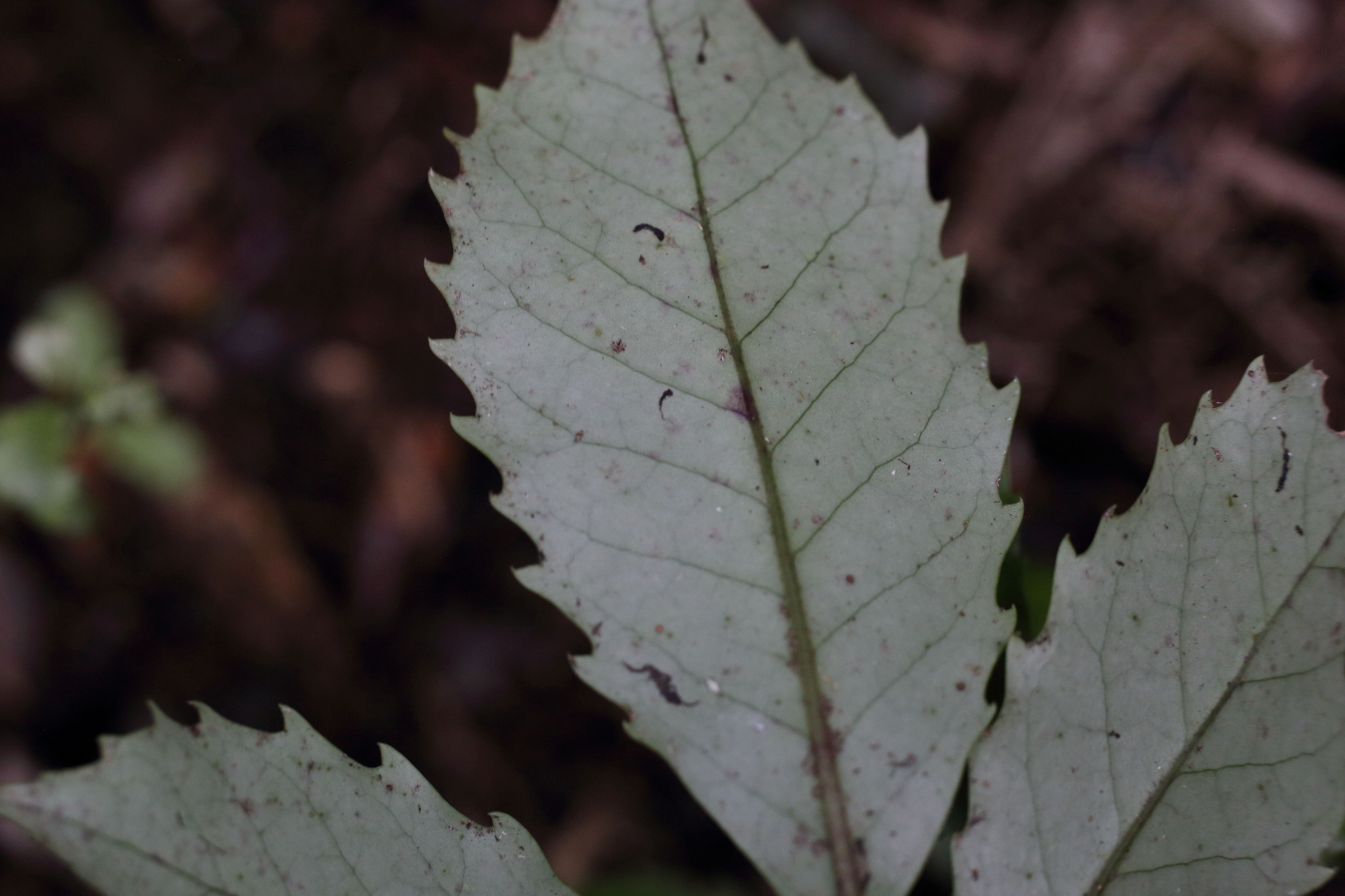
Heketara 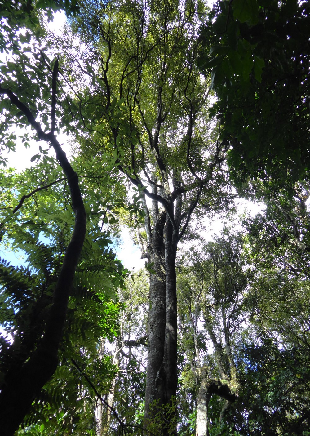
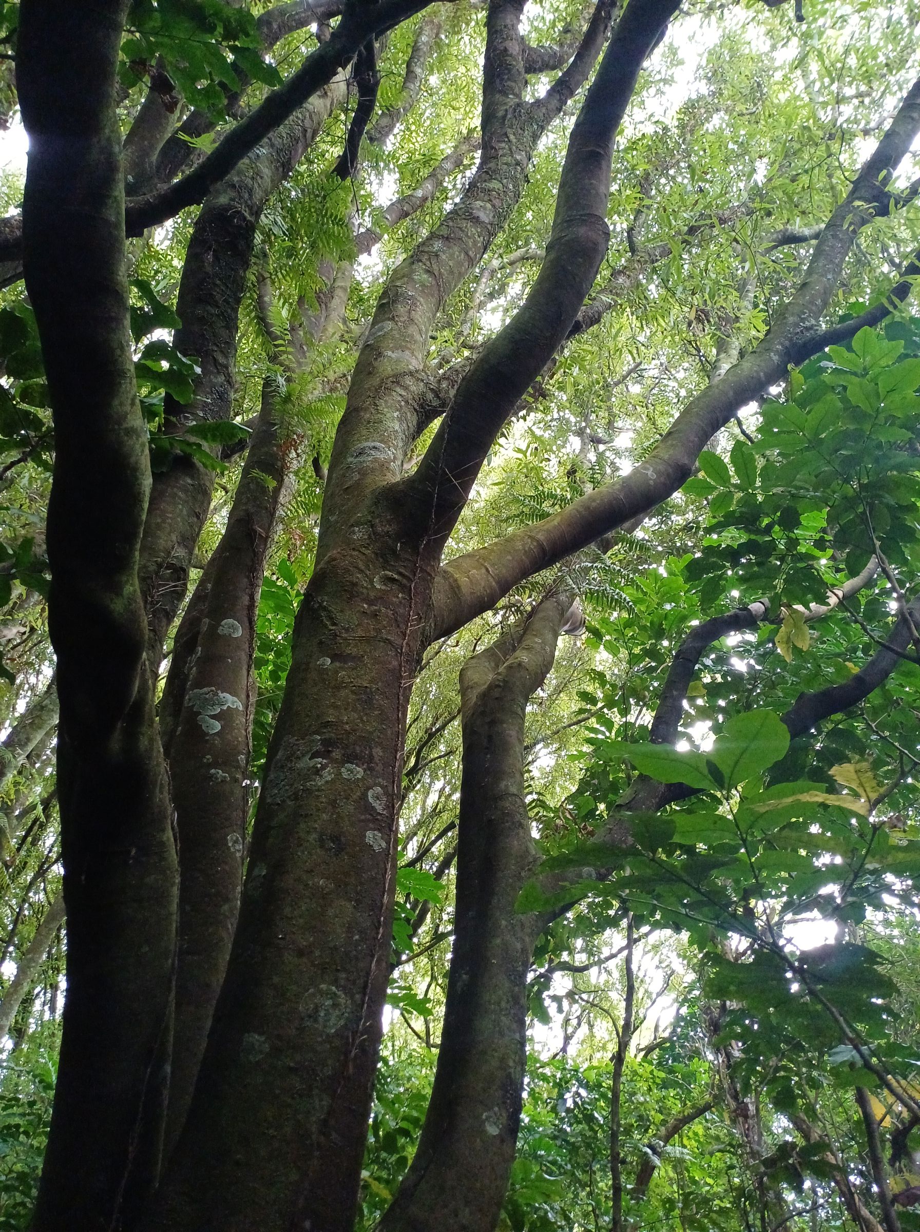
Tawa Trees 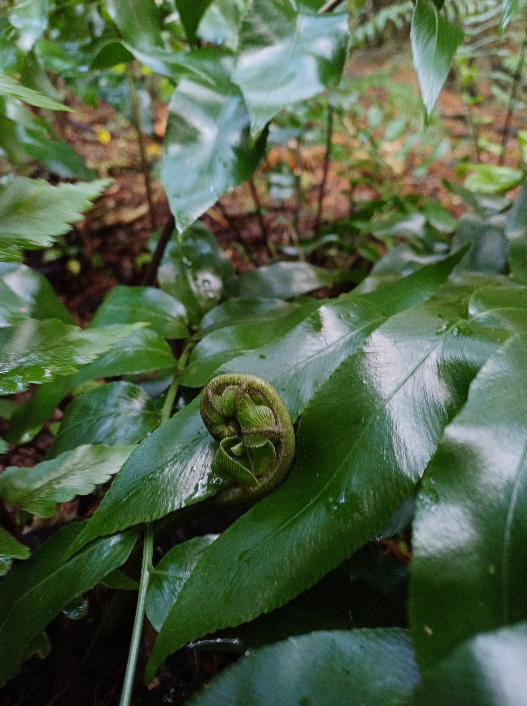
Huruhuru whenua – shining spleenwort 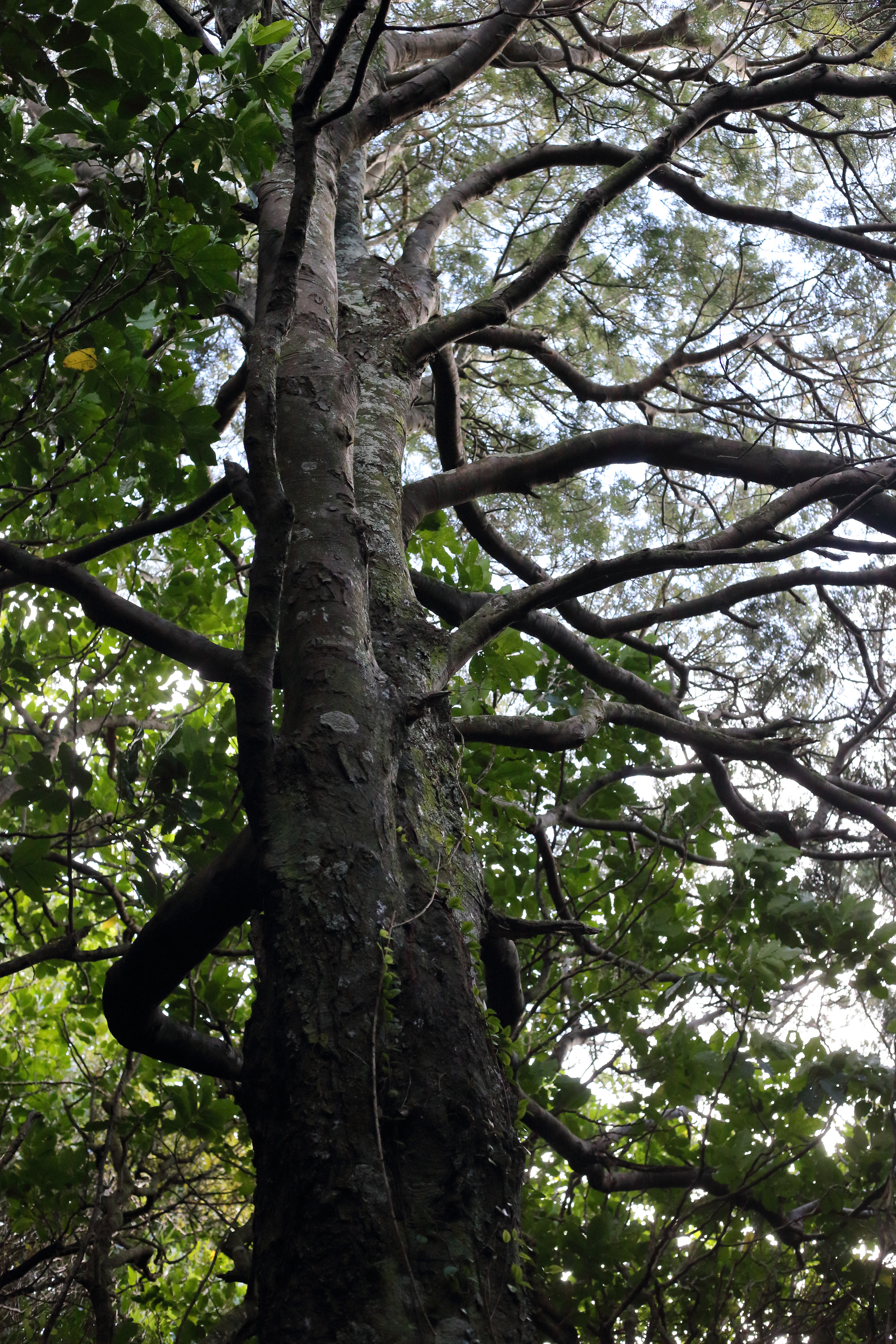
Kahikatea 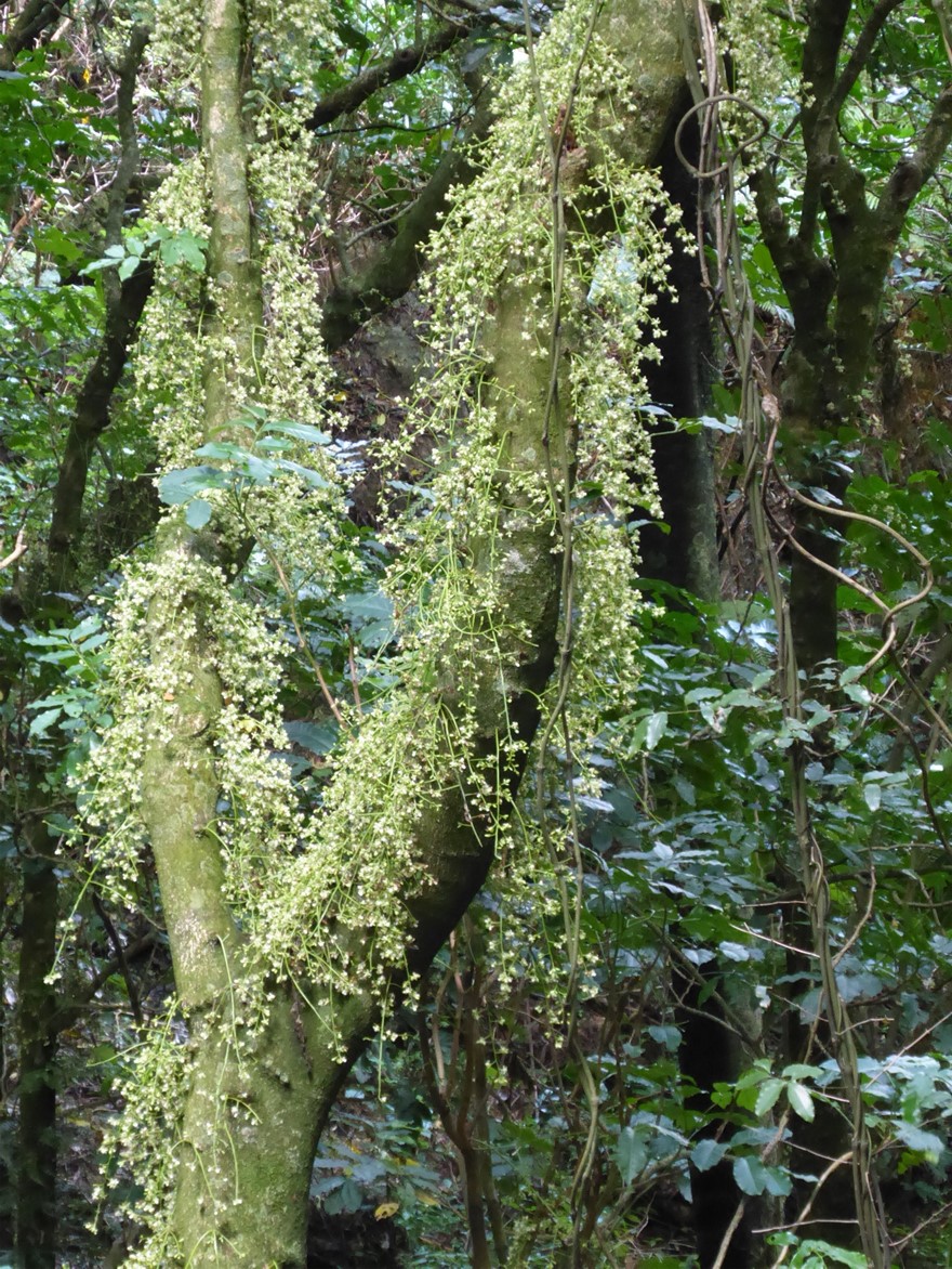
Kohekohe in flower 
Kōhia 
Forest floor leaves and kohia fruit 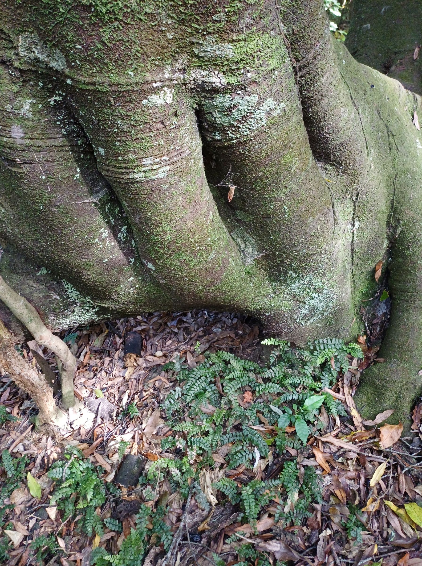
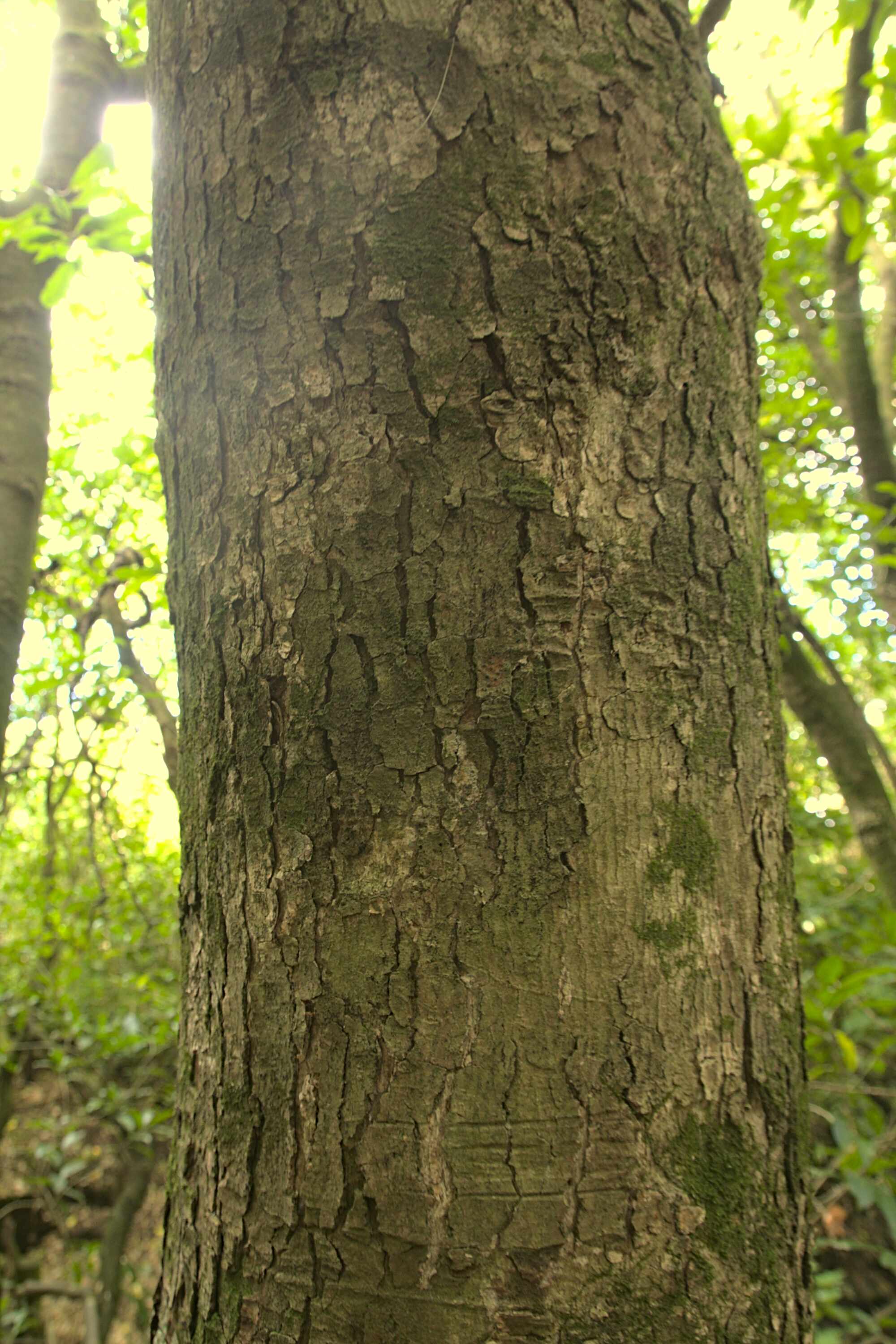
Tawa trunk base 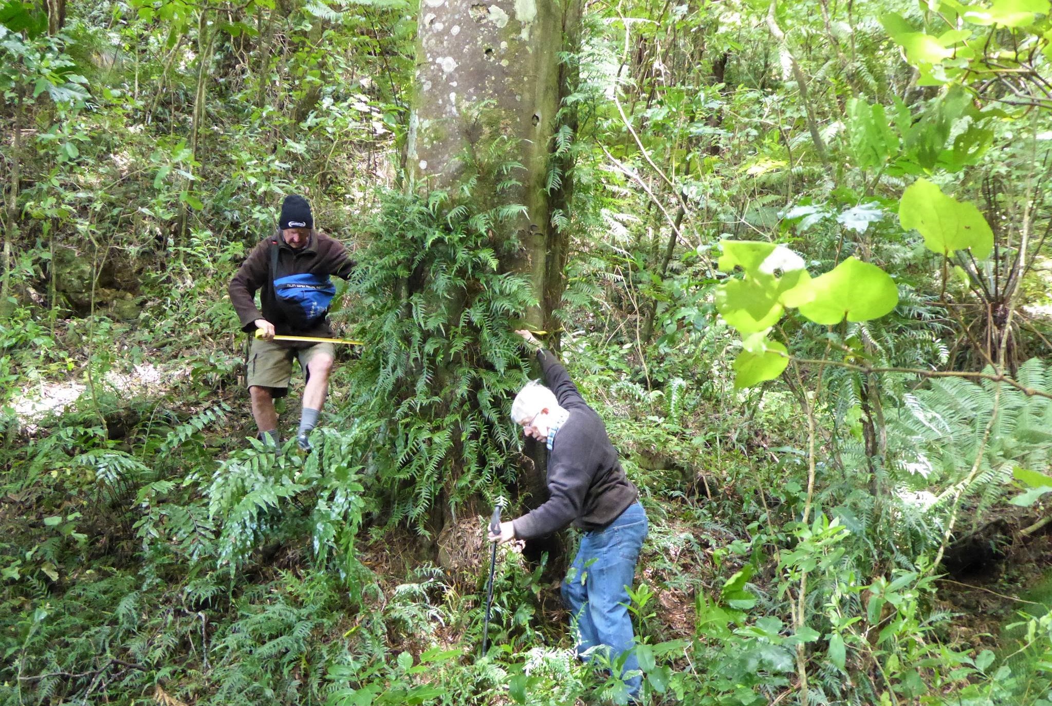
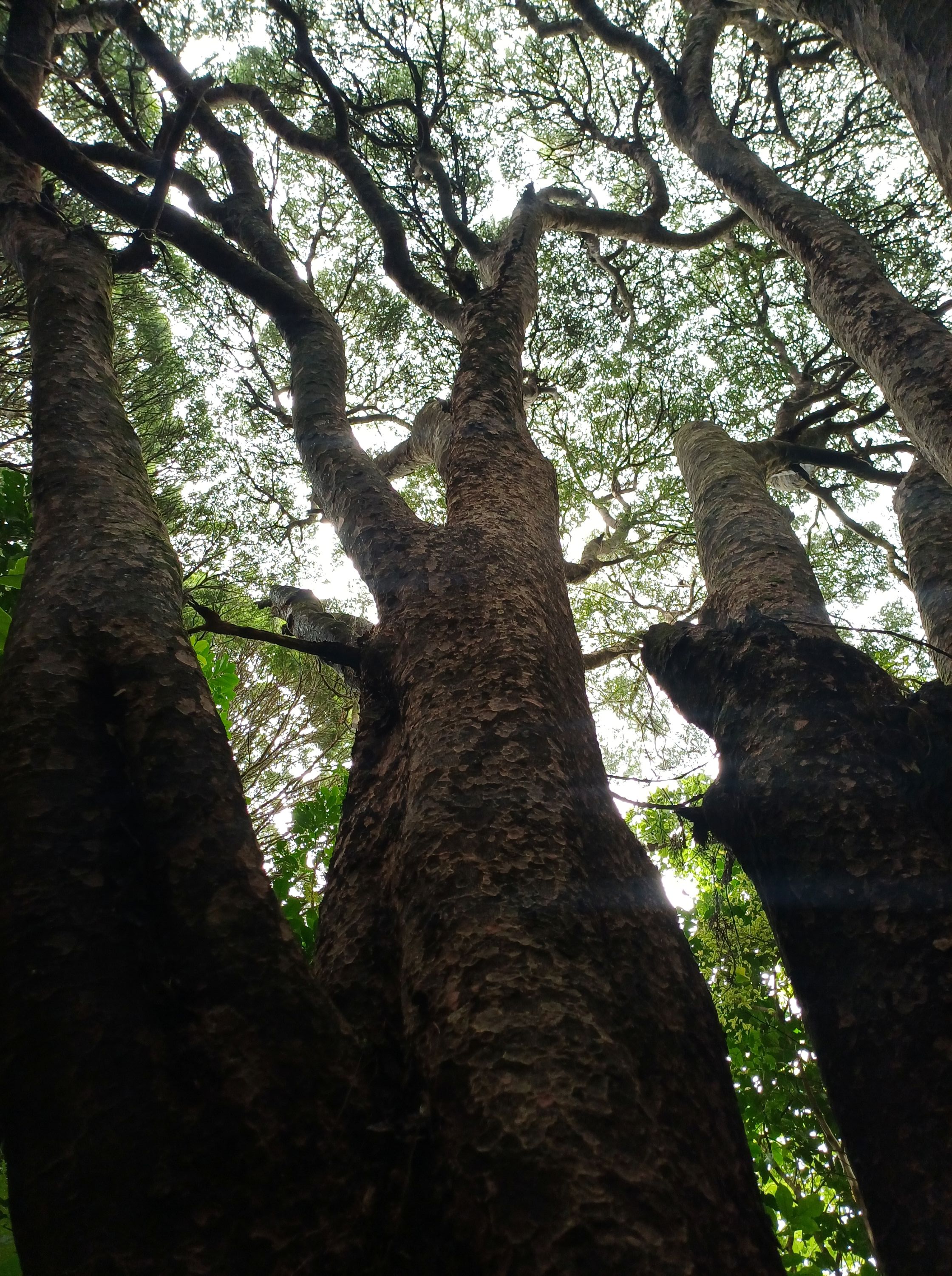
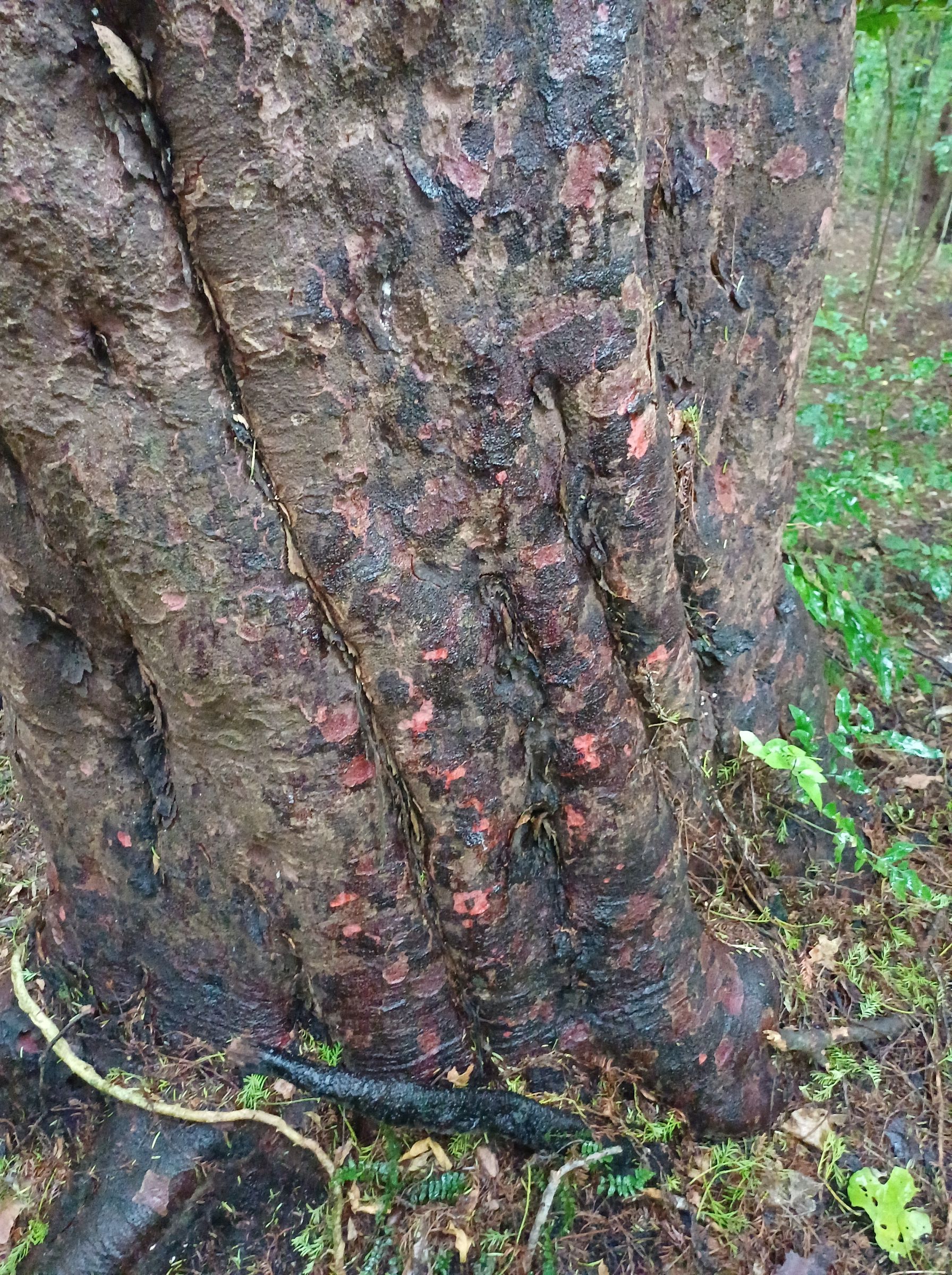
Biggest Tawa tree Redwood Reserve 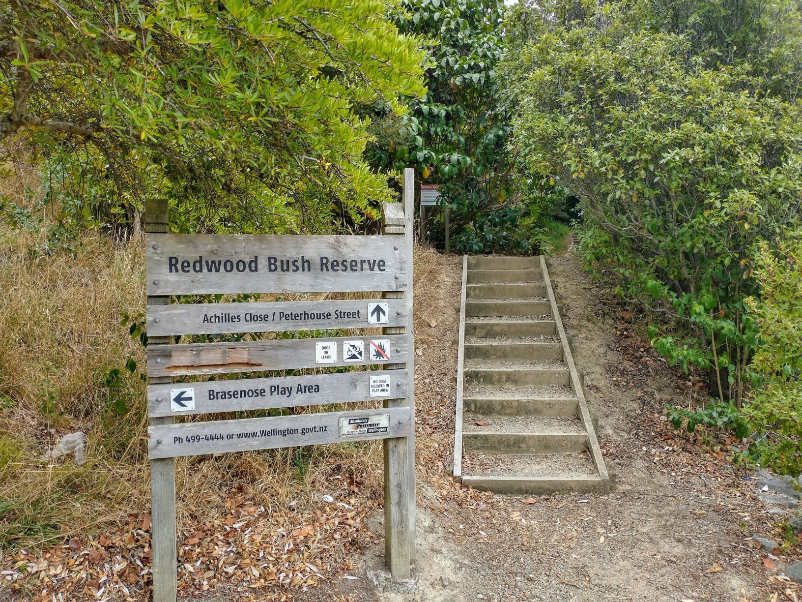
Tawa trunk by stream Redwood bush 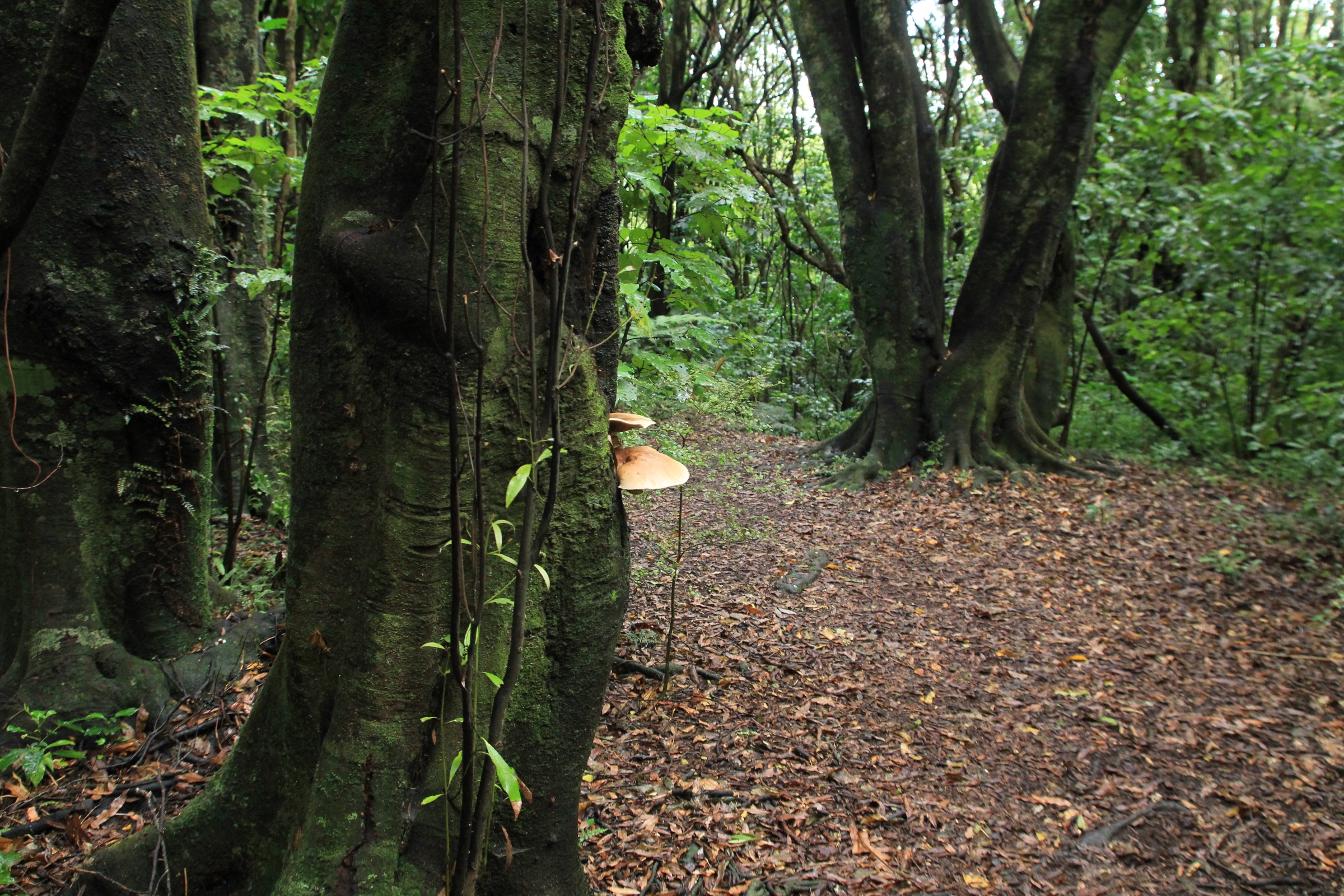
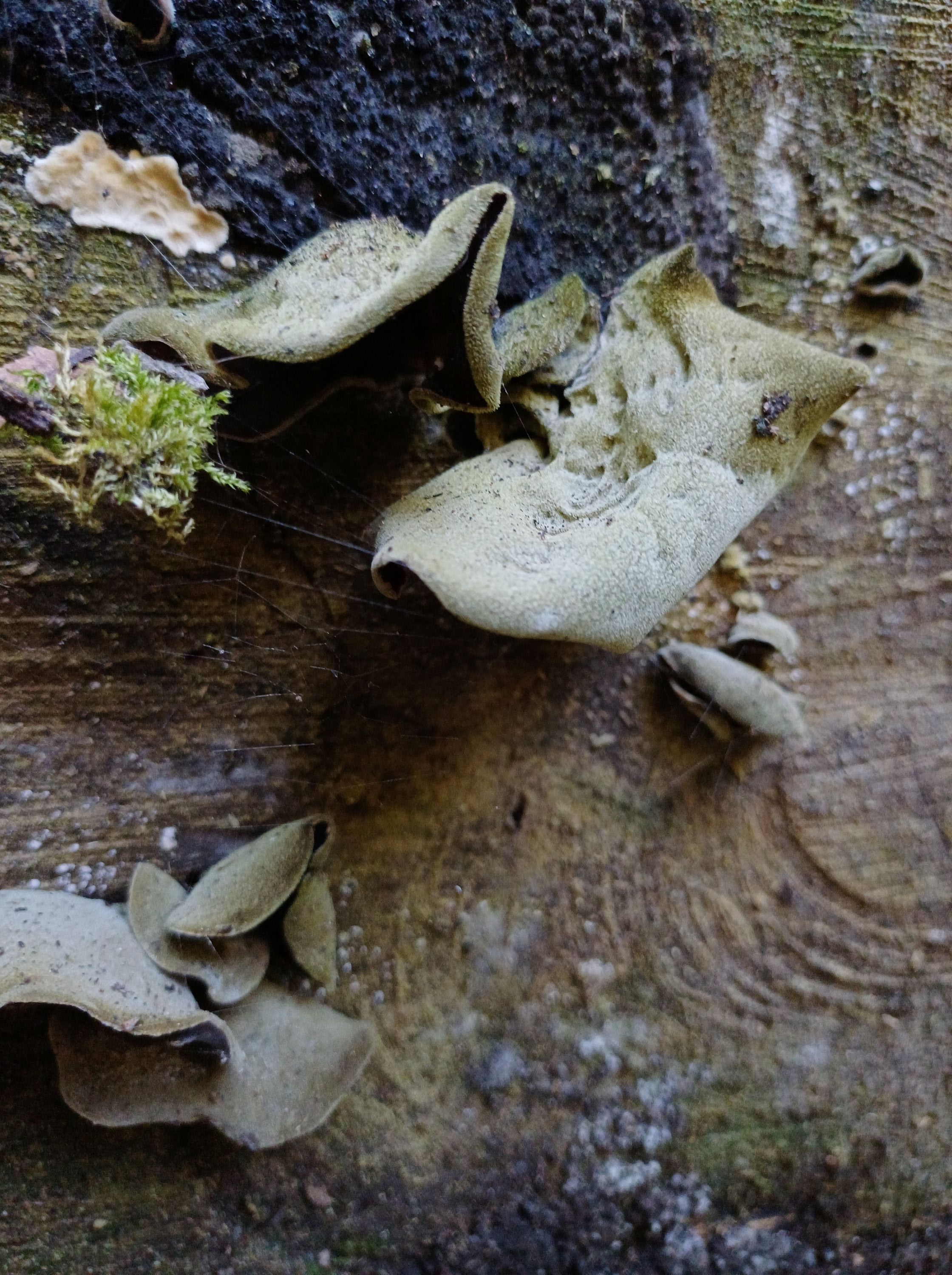
Tawa trees and fungi 
Supplejack 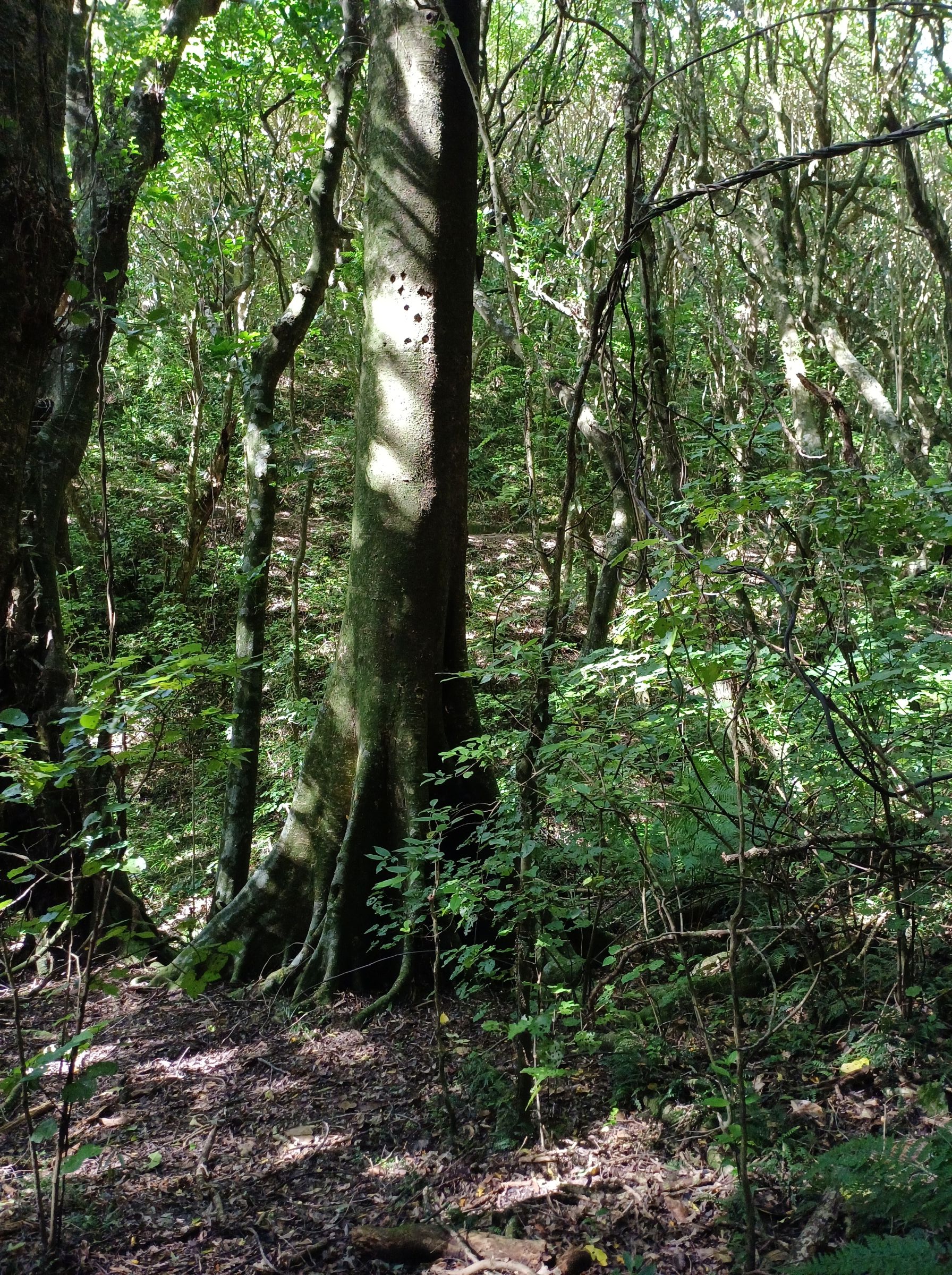
Pukatea, Laurelia novae-zelandiae with buttress roots 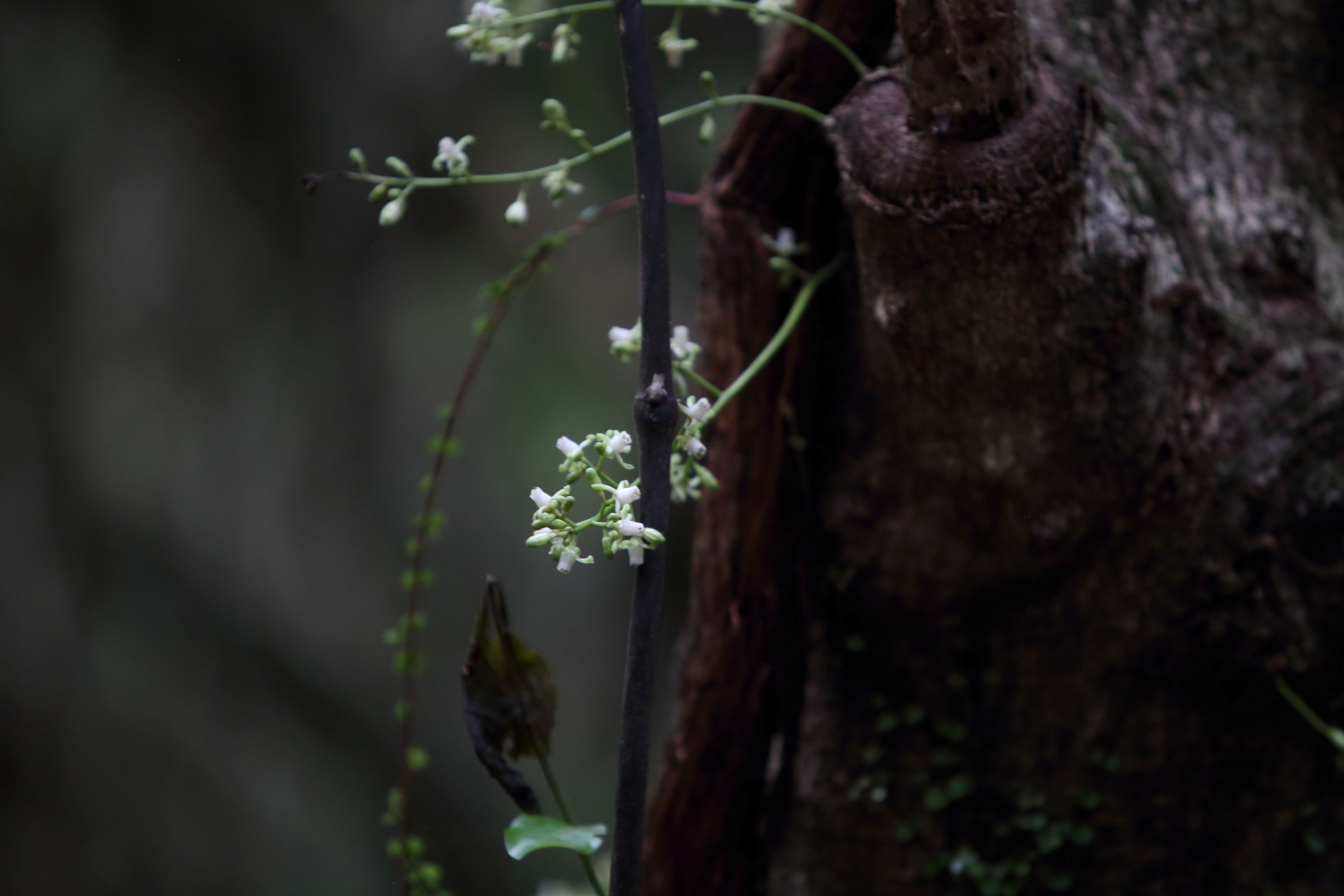
Northern Rātā 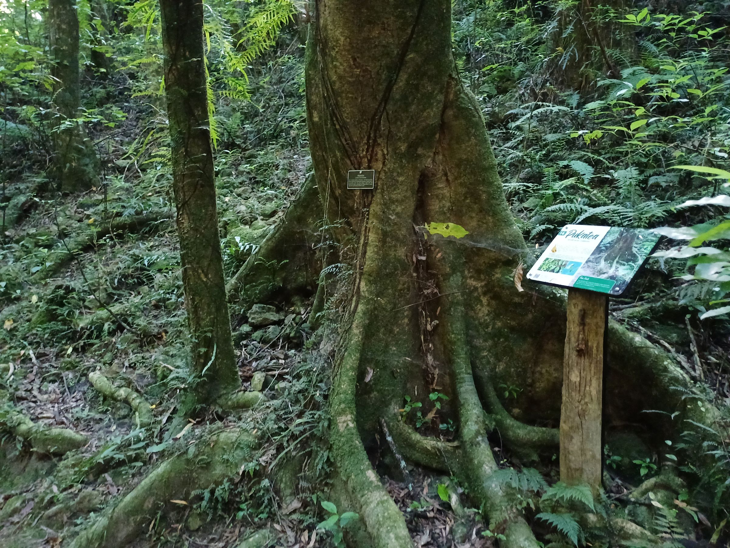
Pukatea 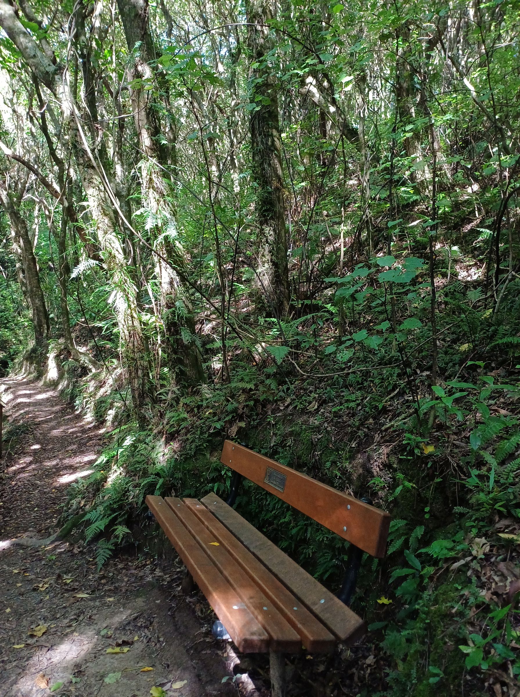
Take a breather 
mushroom on kōhia 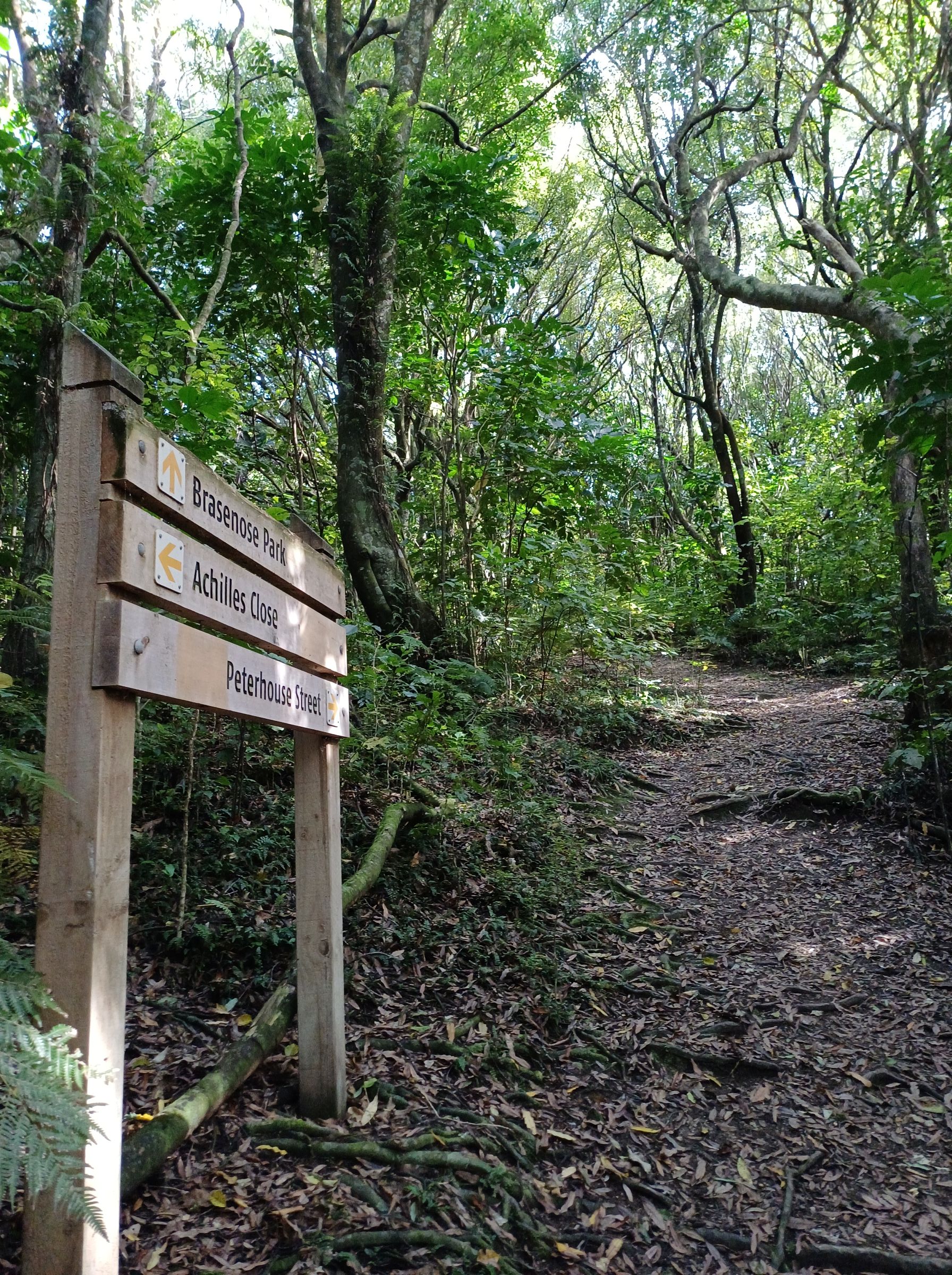
Earthstar 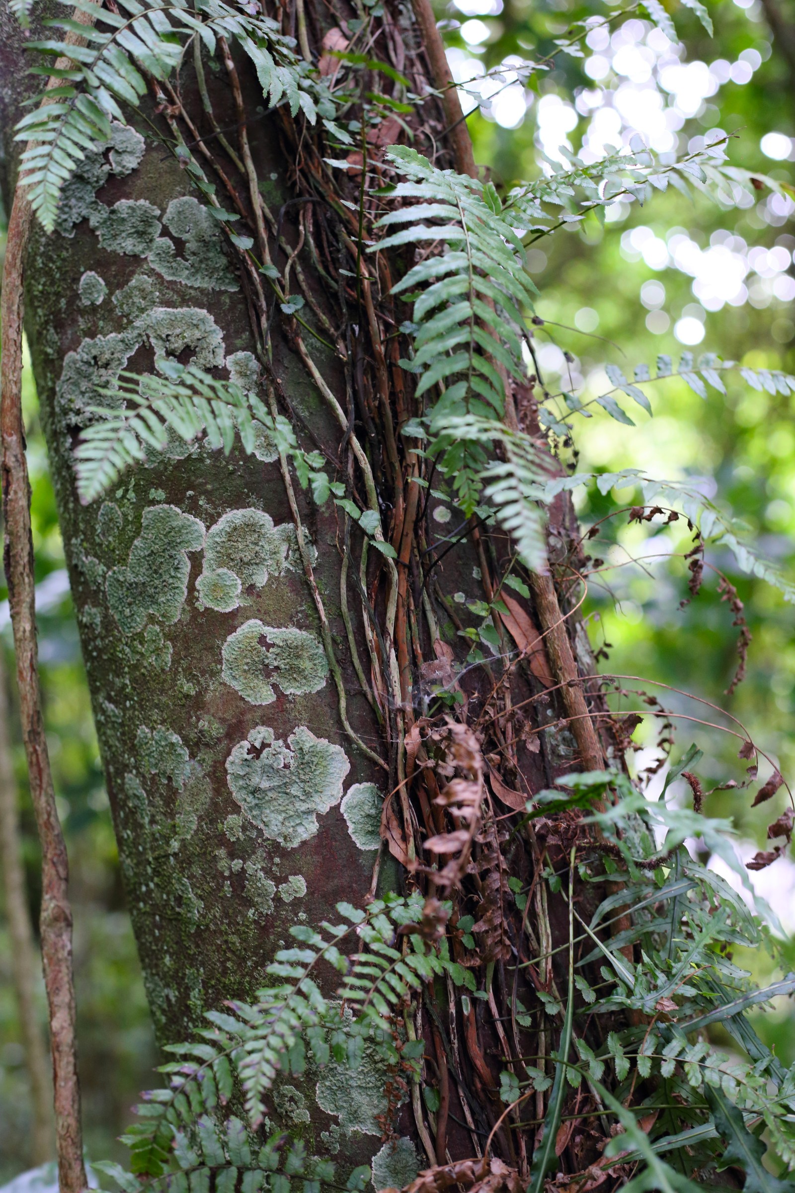
Pānako – thread fern 
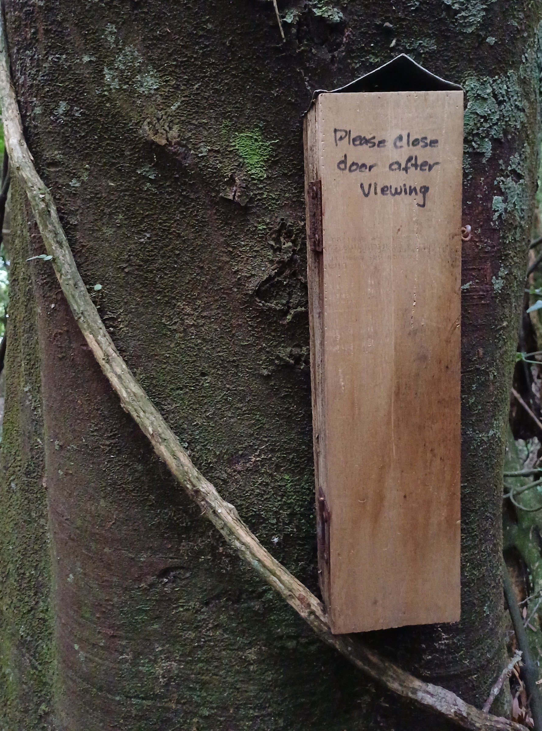
Wētā hotel @ Redwood 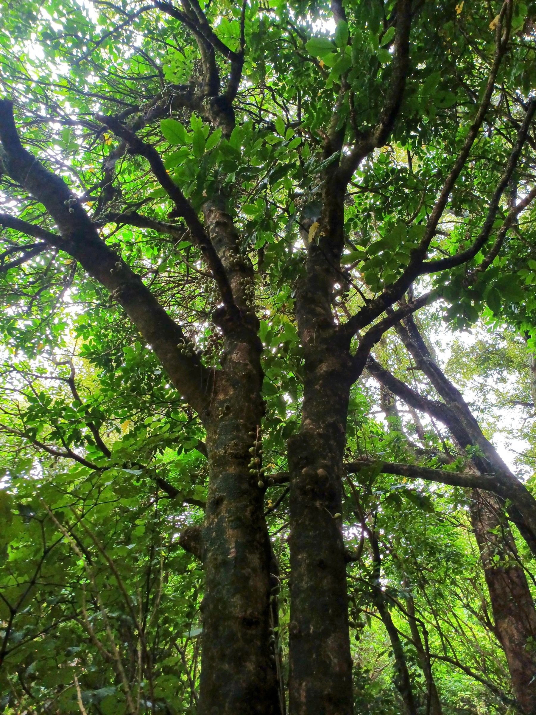
Kohekohe 
Tawa 
Northern Rātā (near Peterhouse) 
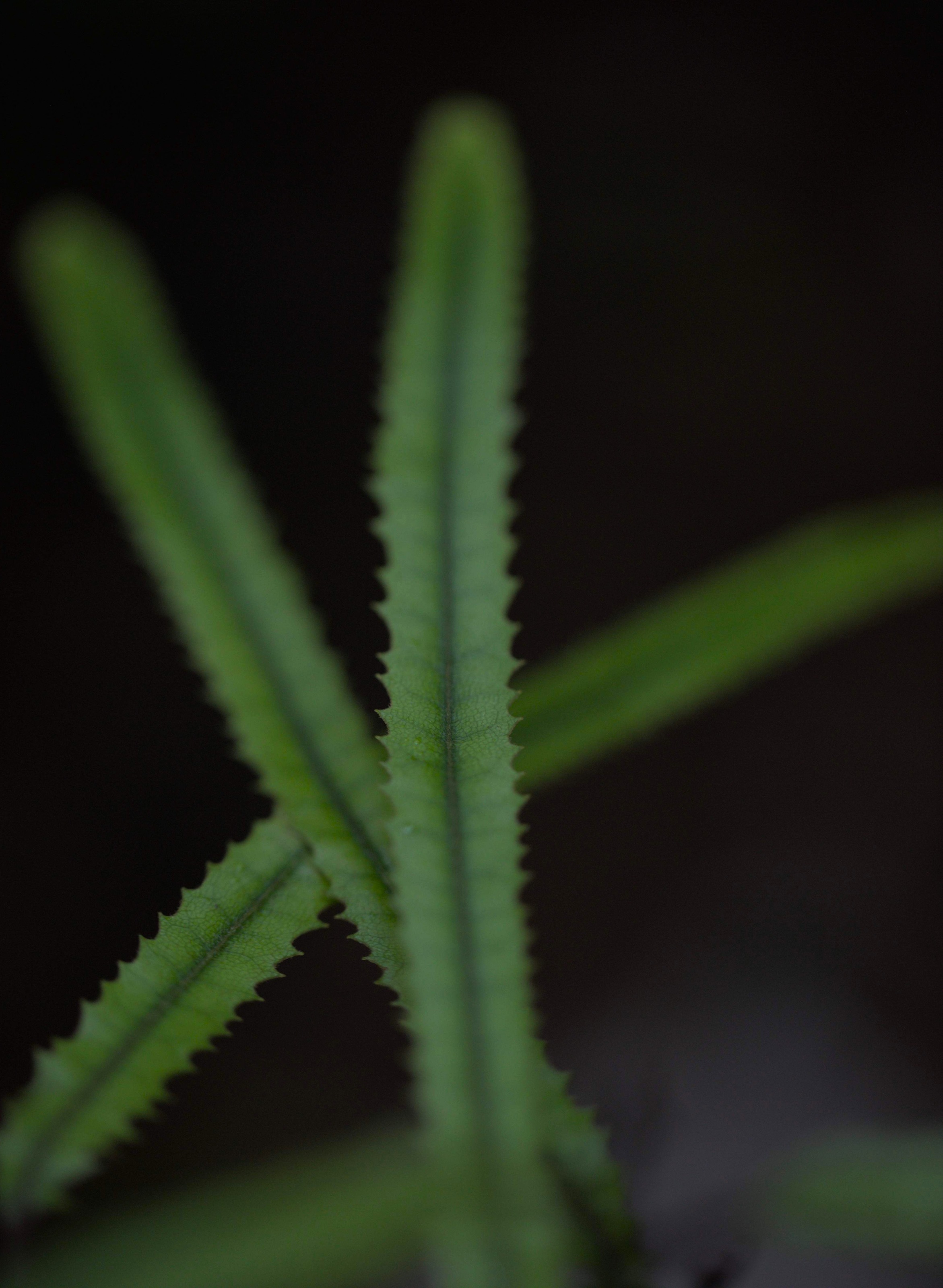
Ferns 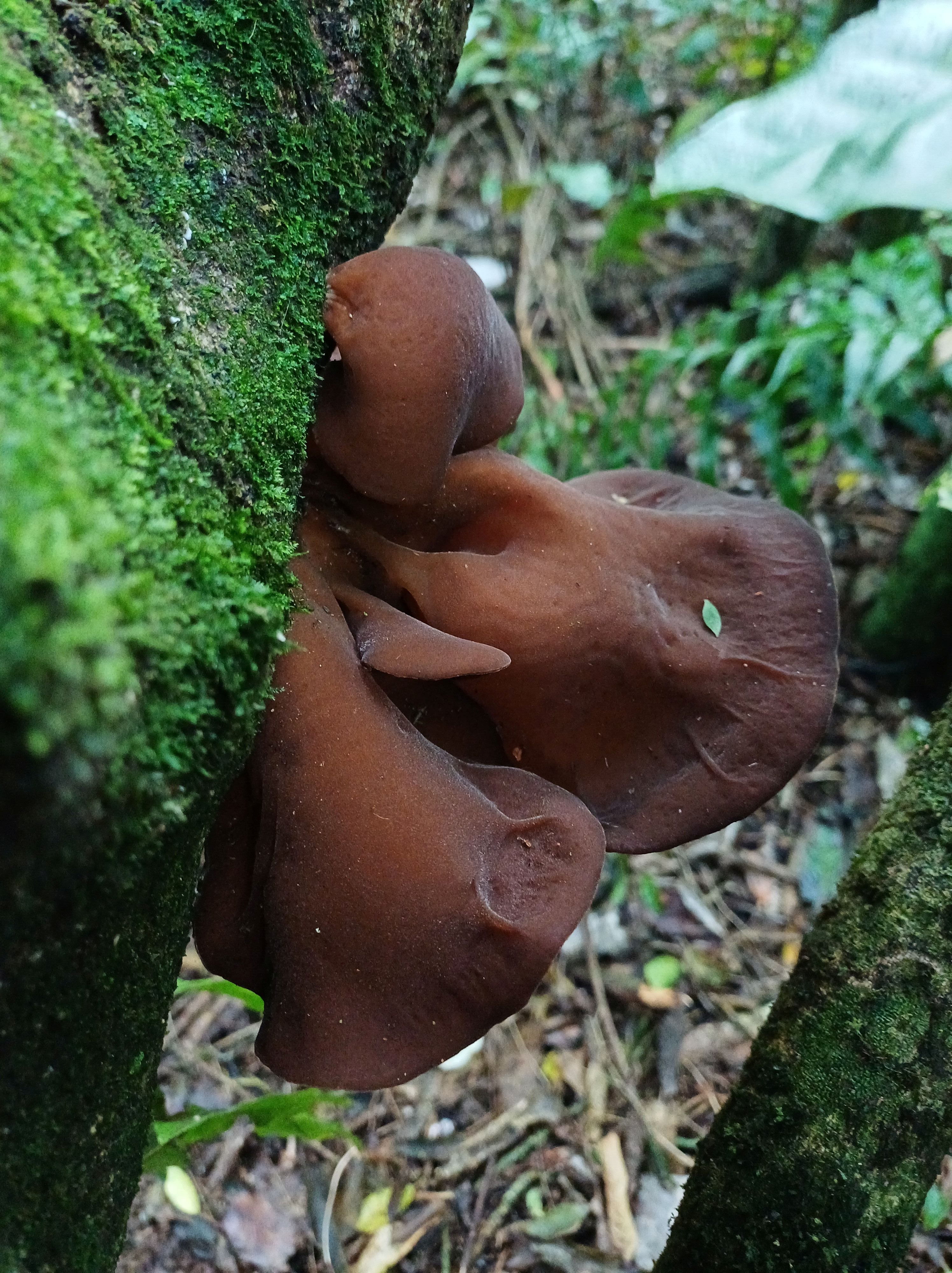
Kohekohe flowers 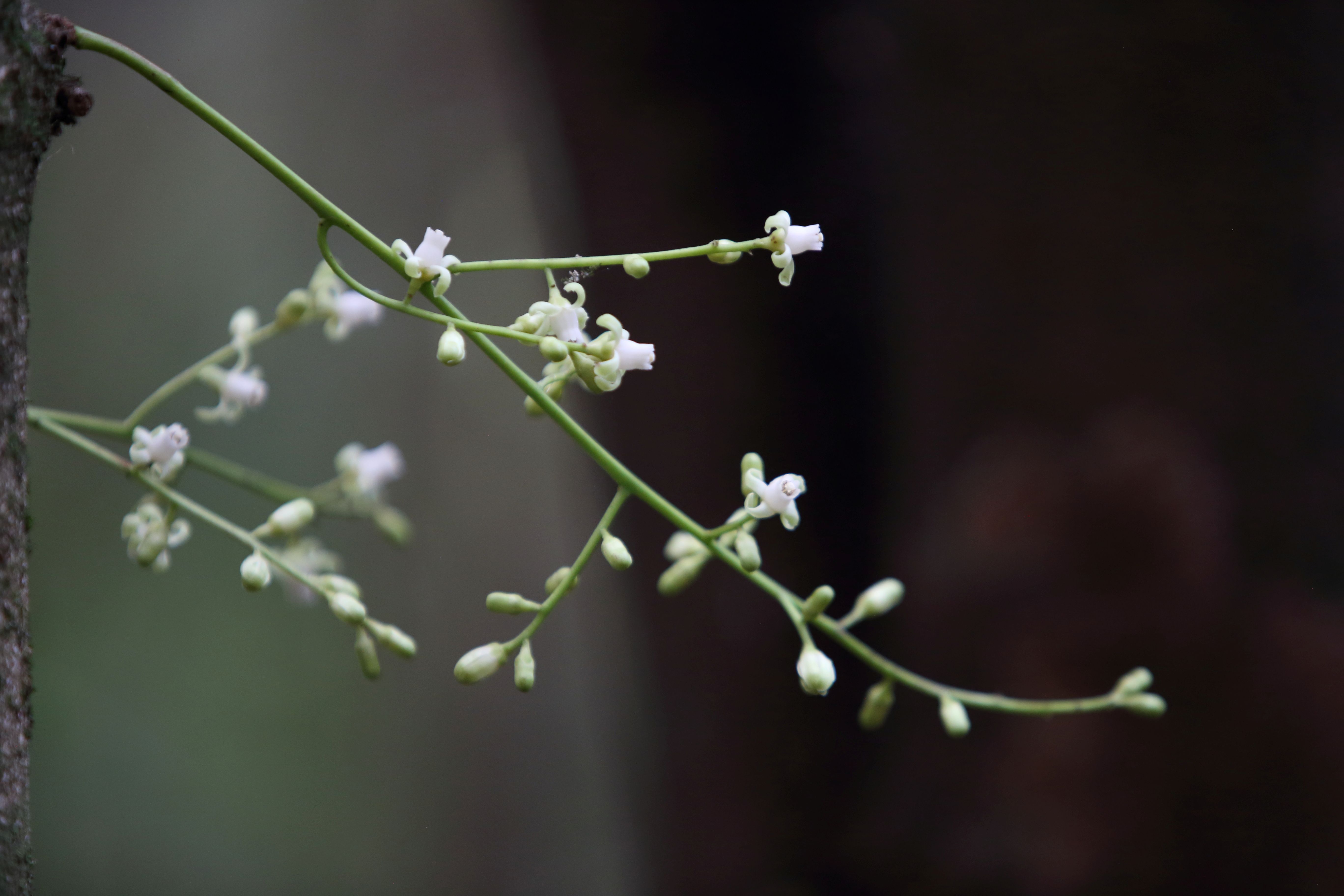
Kohekohe flowers 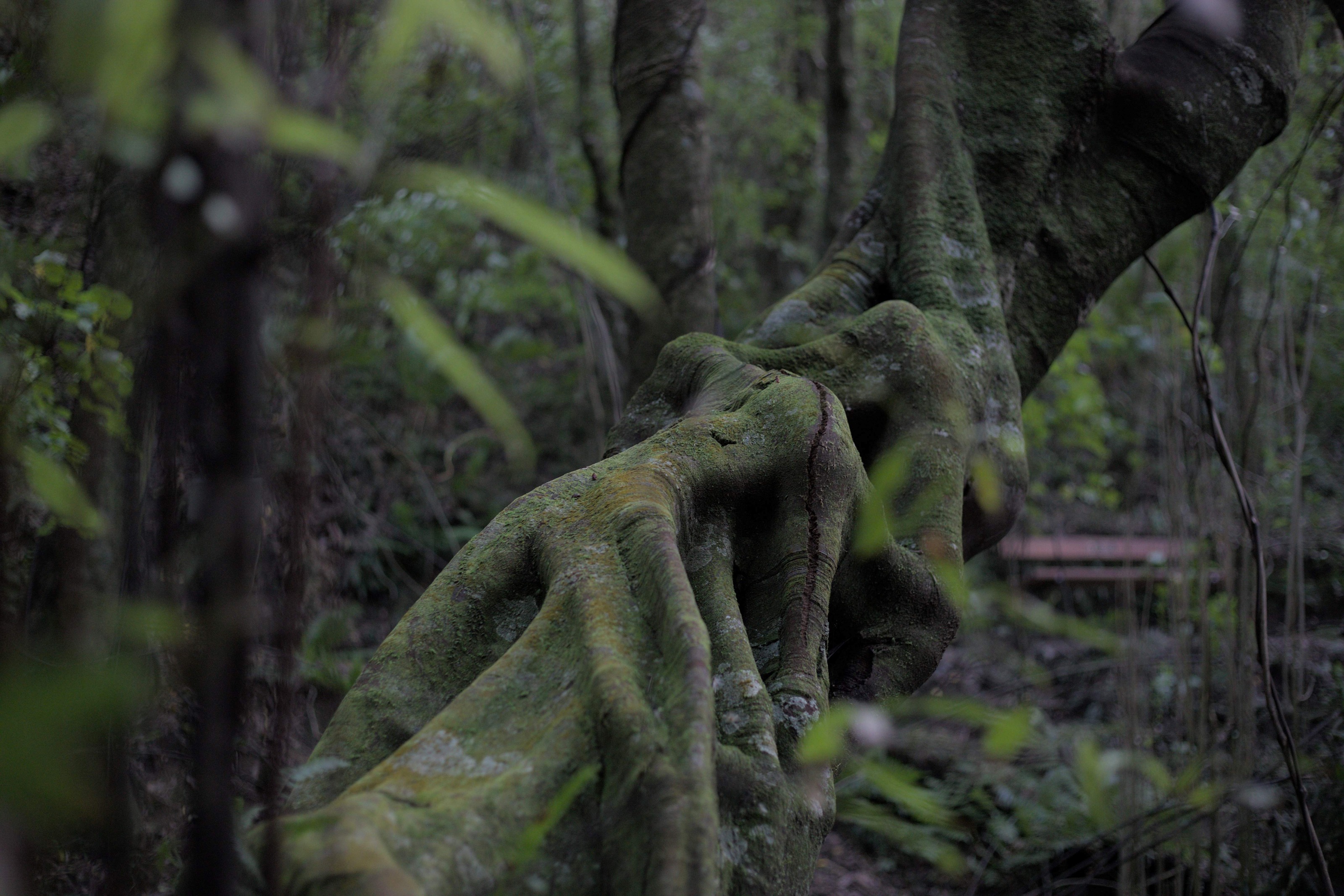
Tawa trunk 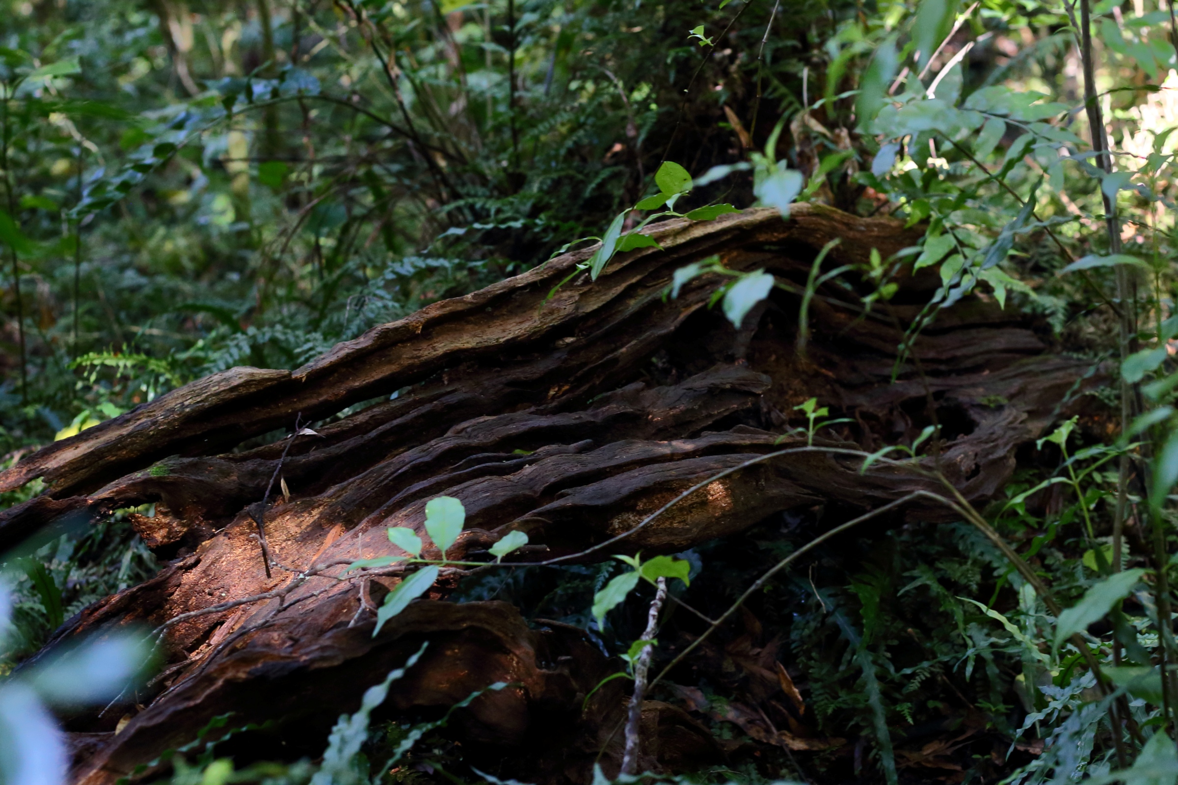
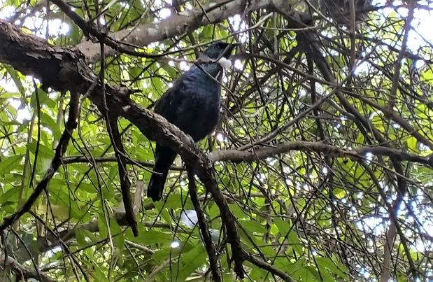
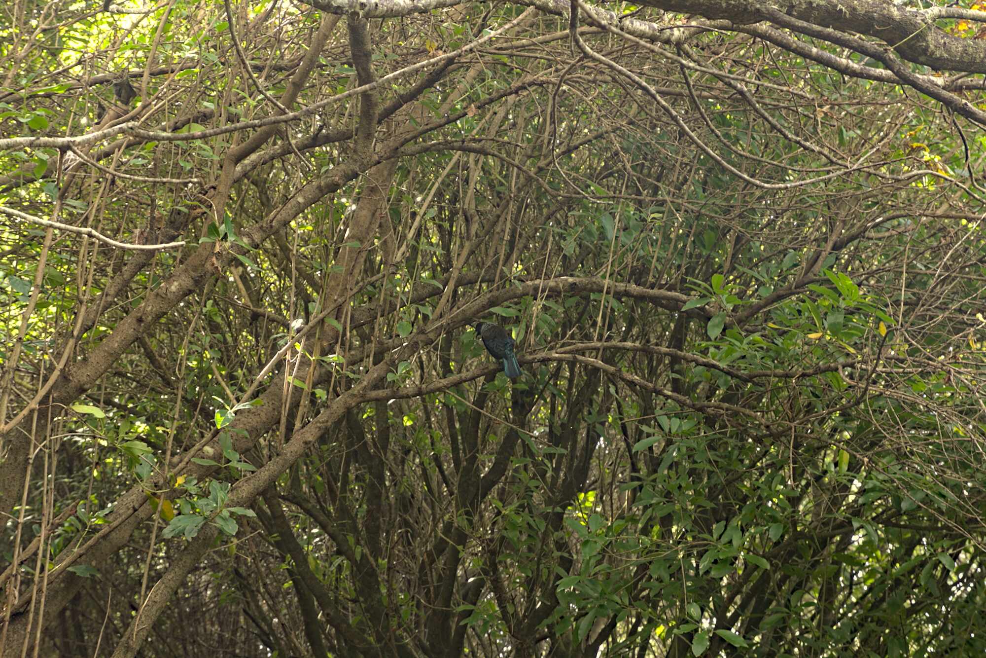
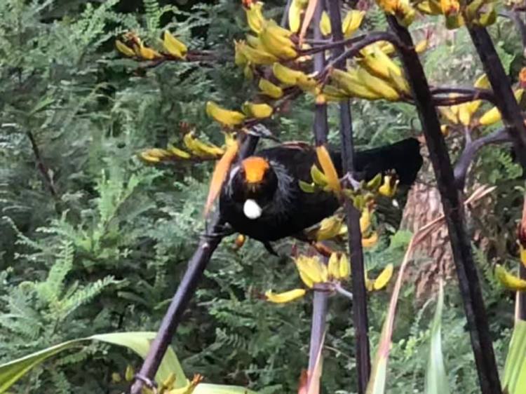
Tūī 
Tawa trunk 
Rewarewa forest floor 

Botanical sign at Kohekohe 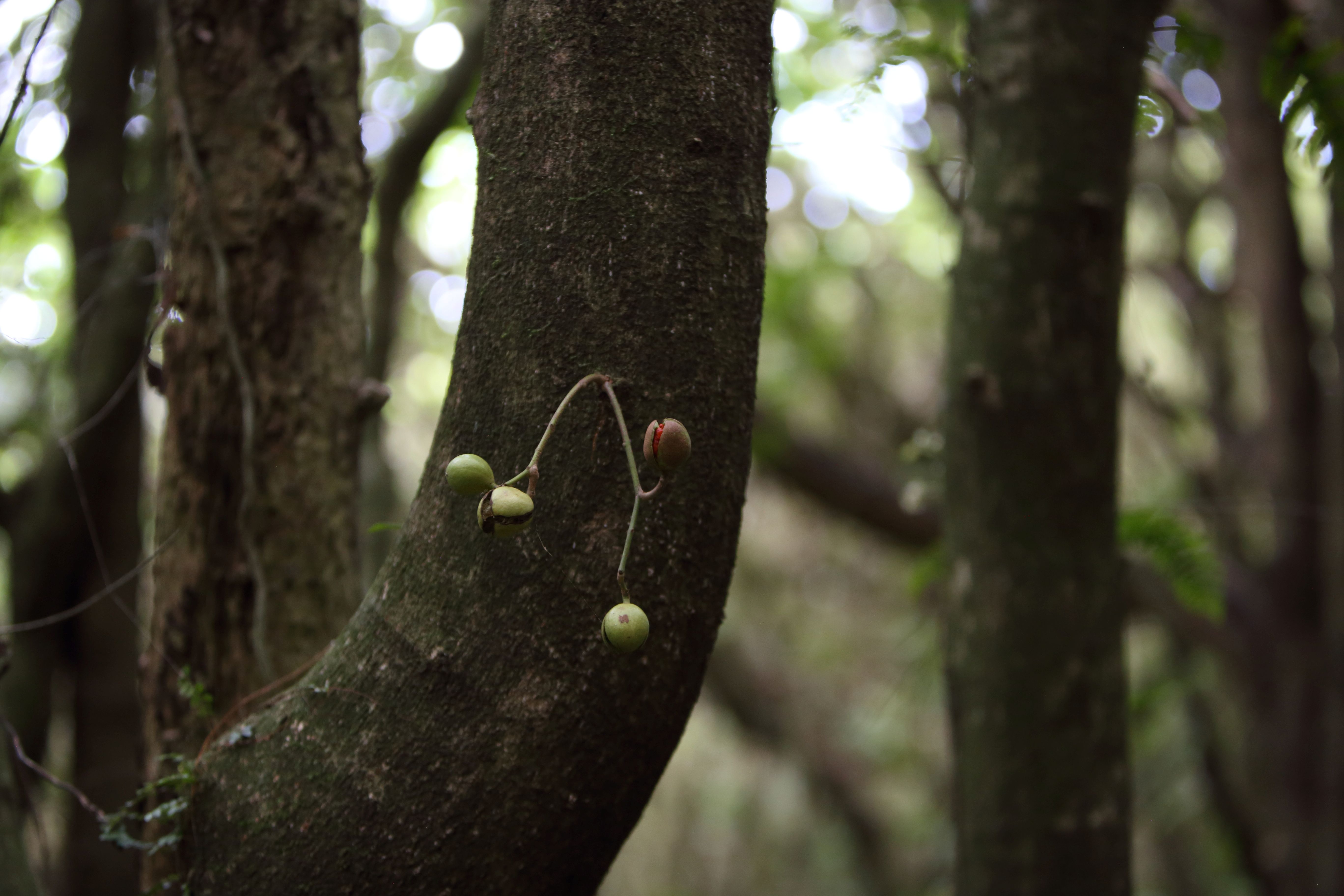
Kohekohe fruit with seeds 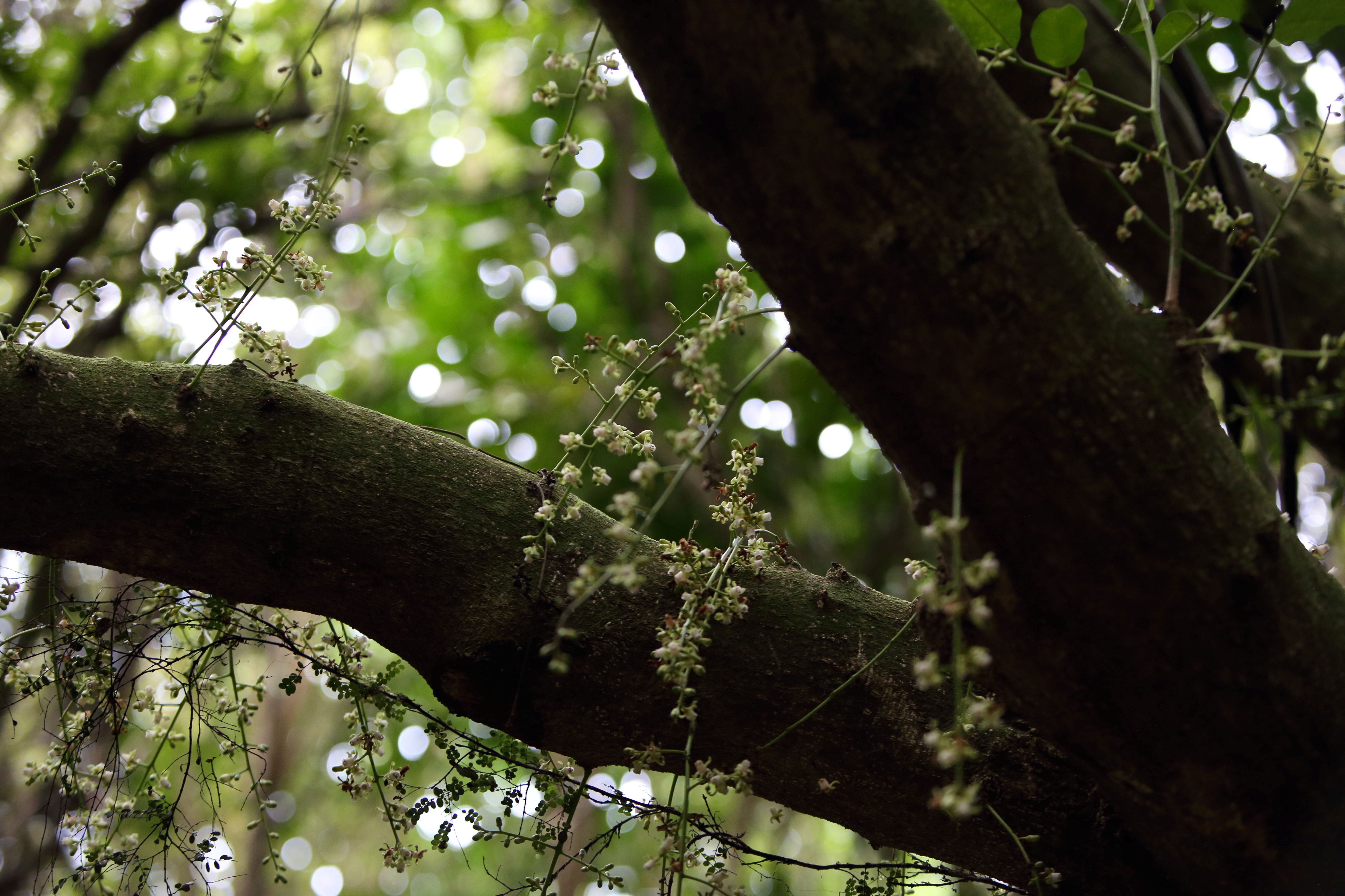
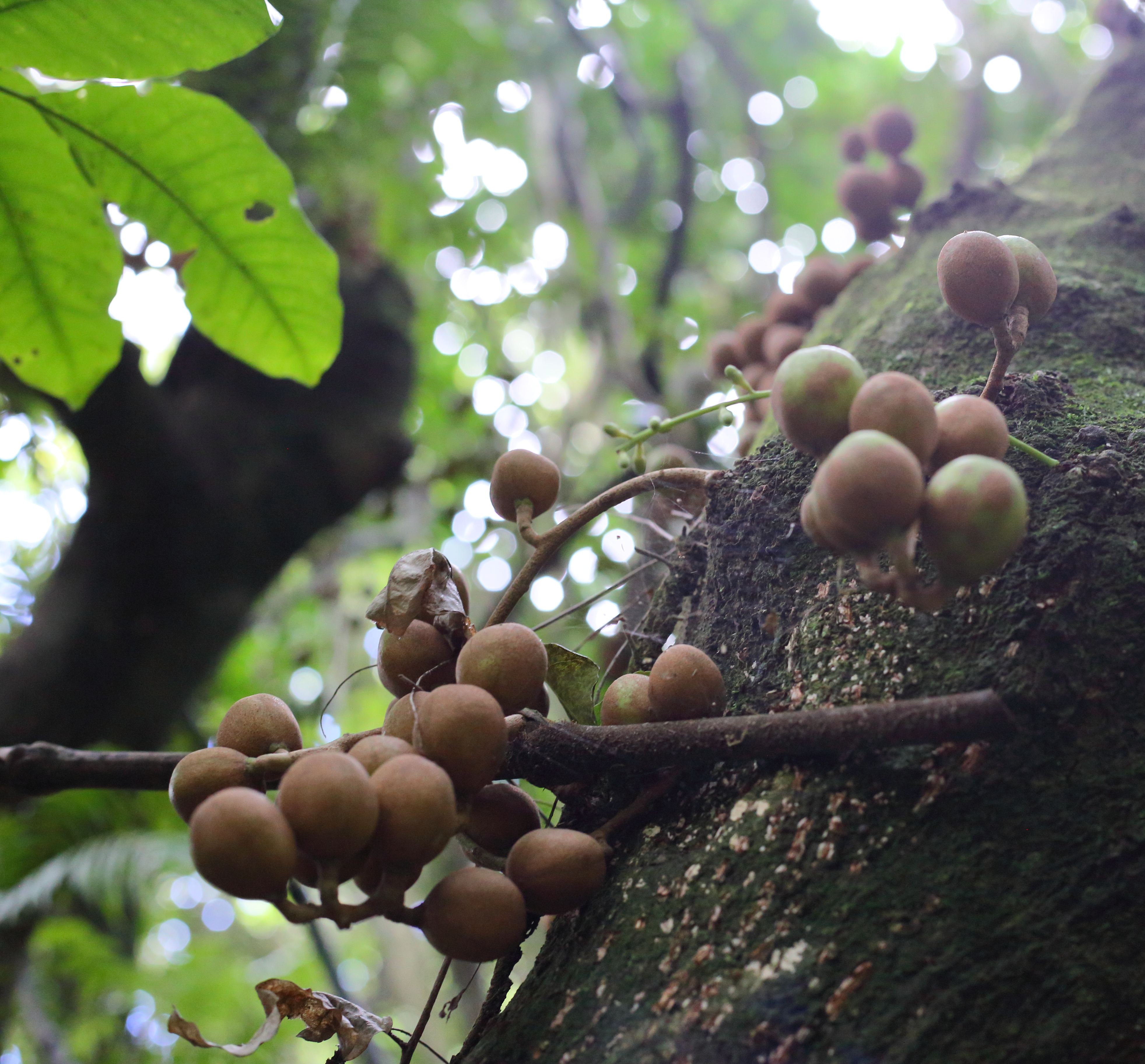
Kohekohe fruit 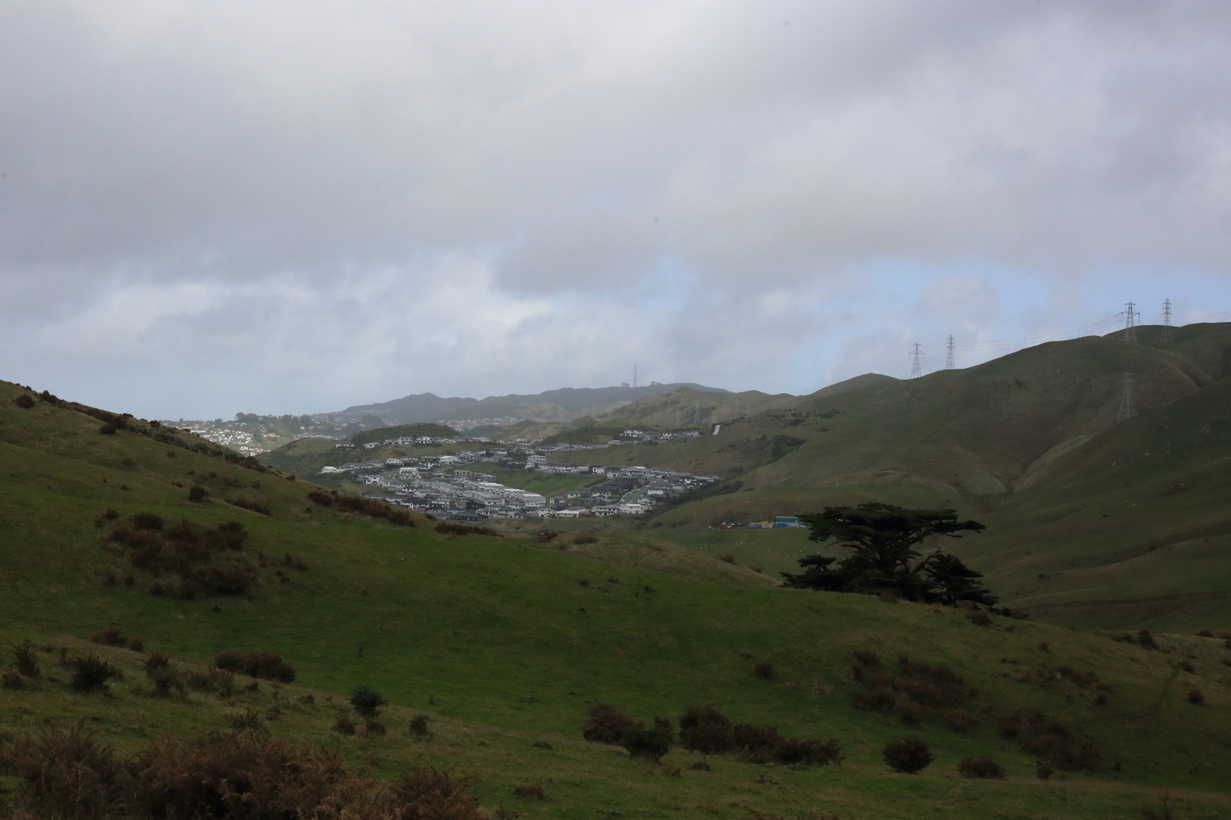
Views to Churton Park 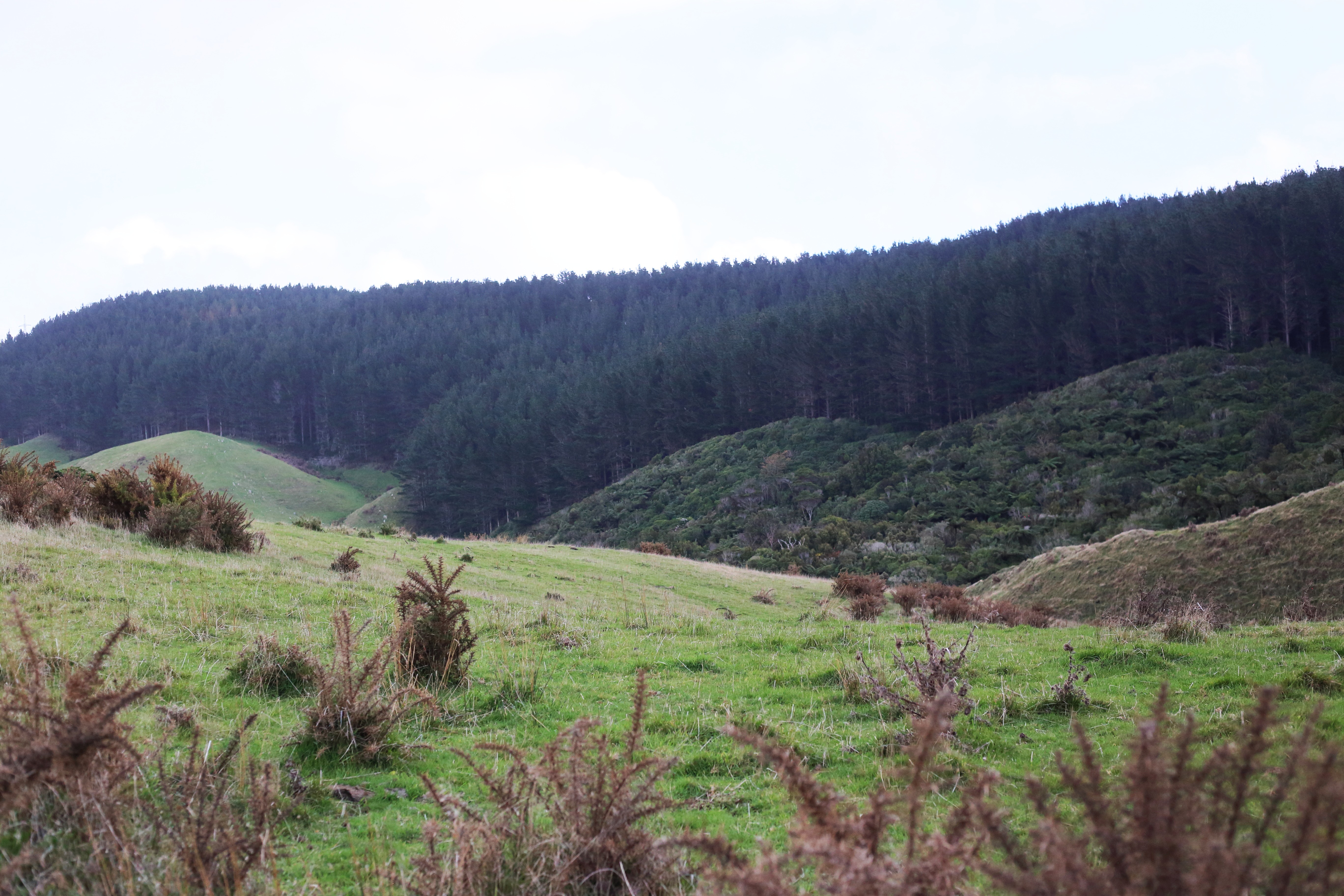
Views at top to farmland 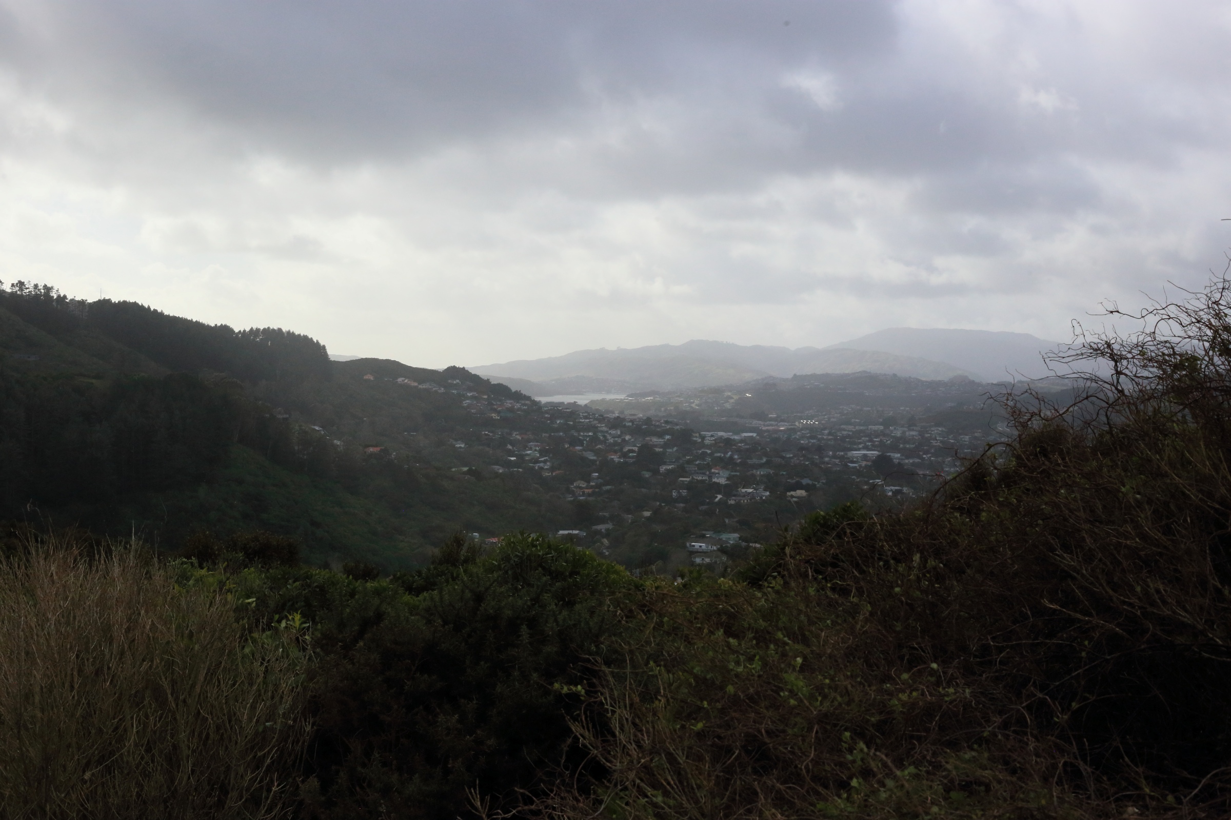
View of Tawa to Porirua 
Aerial map Redwood Bush Reserve Friends of Tawa Bush Reserves
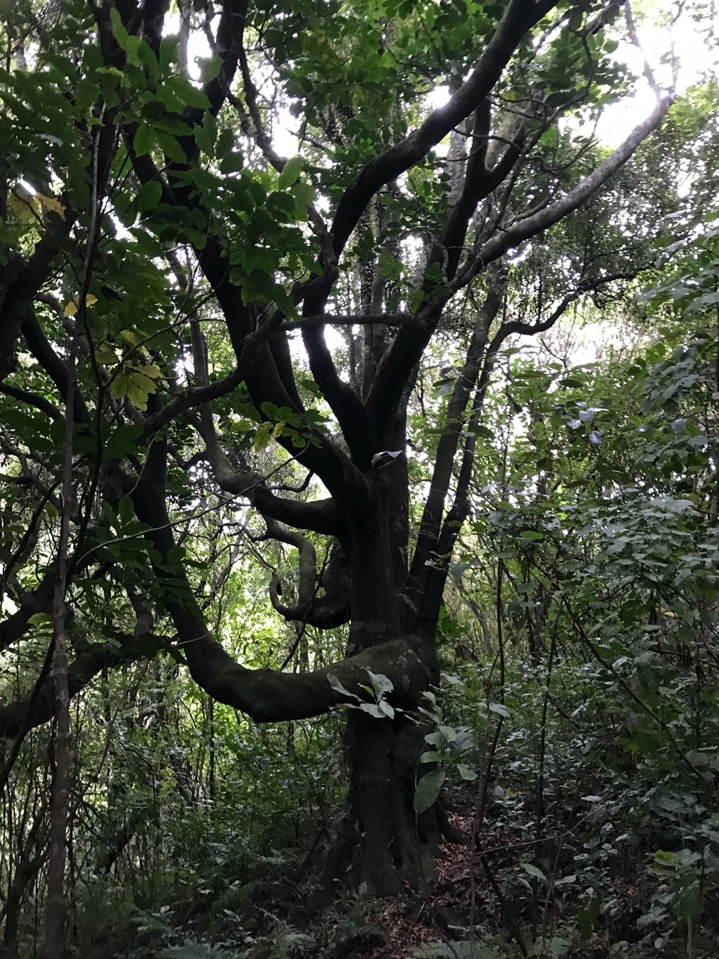
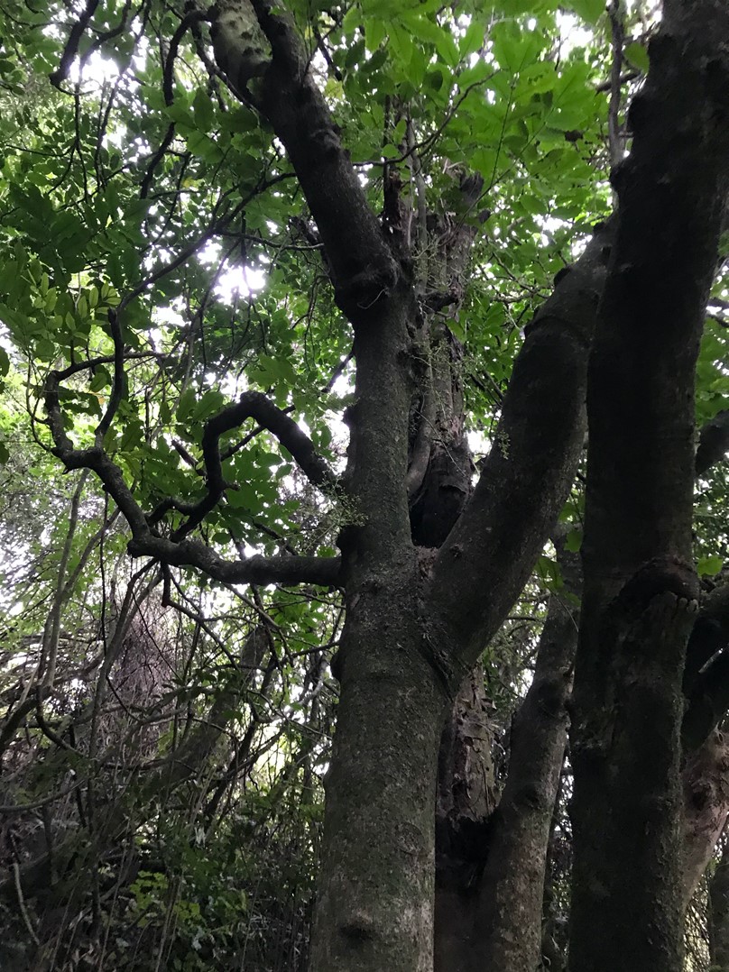
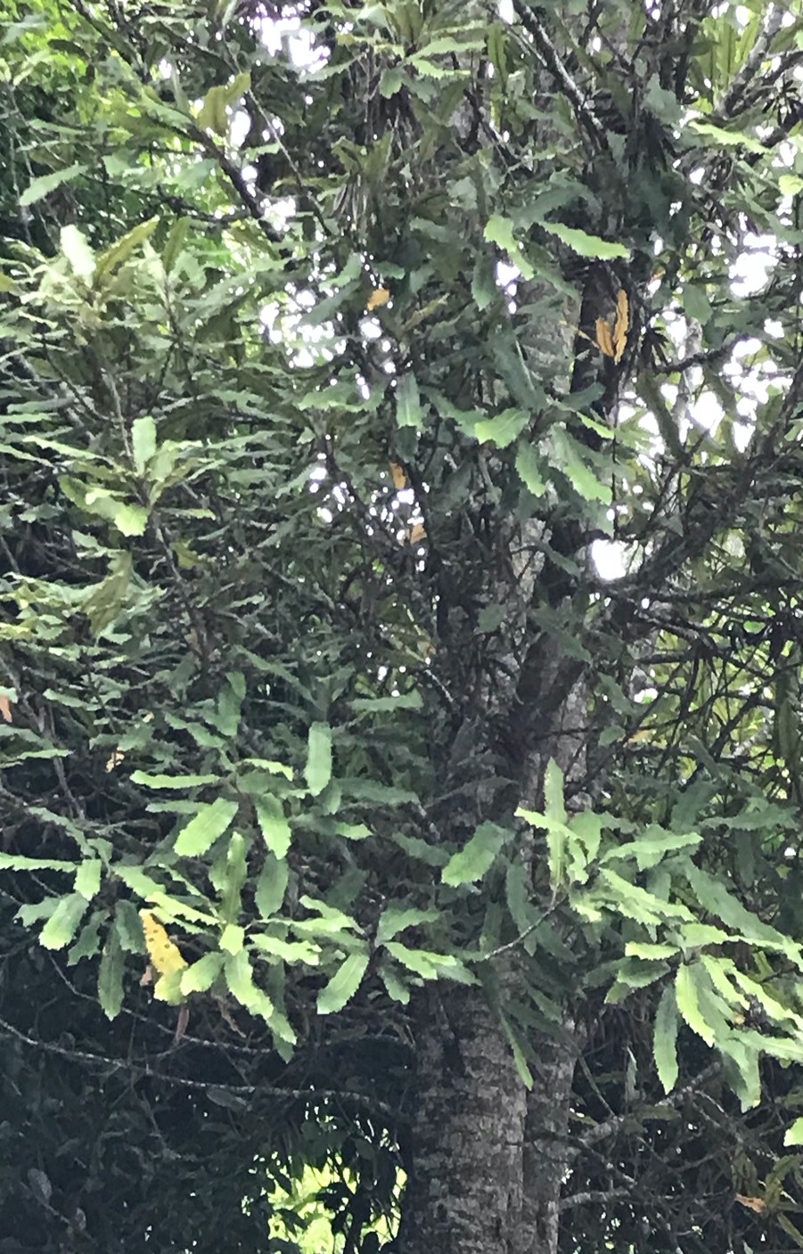
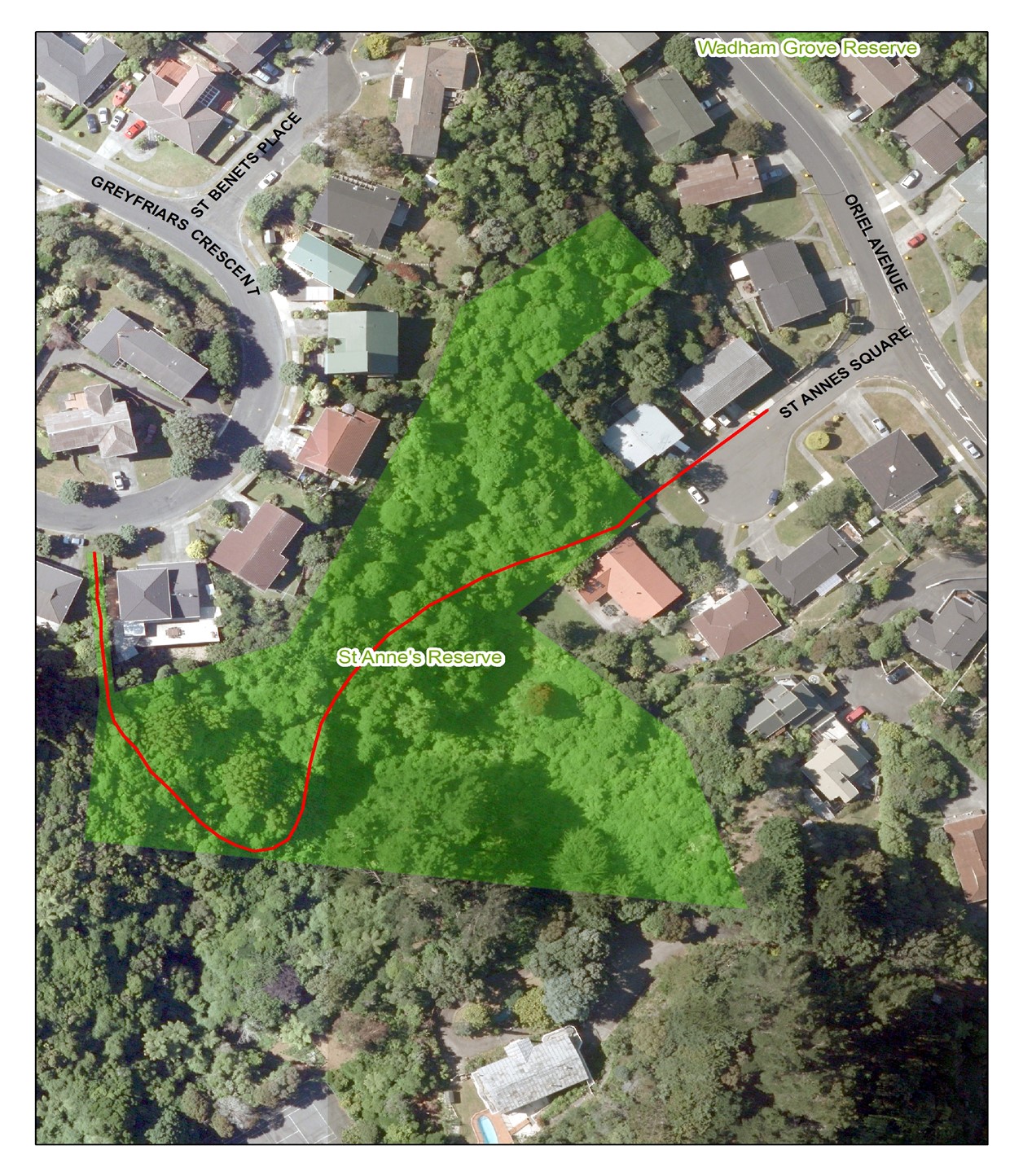
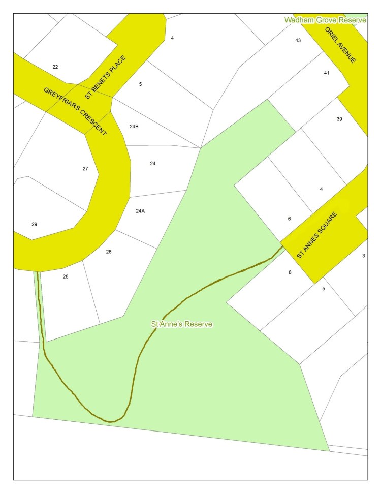
St Anne’s Reserve

Access:
From St Annes Square between numbers 6 and 8 or from Greyfriars Crescent between numbers 28 and 32.
Parking:
In St Annes Square, Oriel Avenue, or Greyfriars Crescent.
Views:
None of Tawa as all of the track is within the bush.
Terrain:
This is mainly a dirt track with no steps. There is a gentle gradient at either end though in the middle of the track there is a moderate incline towards Greyfriars Crescent.
Type of trees:
There is a varied but good selection of native trees. Canopy trees include mahoe, kohekohe, rewarewa, tawa, and rata. The understory mainly includes ground ferns, rangiora, kanono, and hangehange.
Walking time:
Allow 5-10 minutes for each direction at an easy pace.
Off-road pushchairs:
Yes, though if entering from St Annes Square and heading towards Greyfriars Crescent, much of the early part of the track is uphill, though this flattens out towards the Greyfriars Crescent entry.
History:
This is a reserve dating back to when the Redwood subdivision was created in the 1960s. The terrain of the reserve is approximately one hectare and as it is steep in part, was considered unsuitable for housing. Hence it remains a remnant of the original bush that covered this area.
The name “St Annes” is named after the St Anne’s College of Oxford University, England. Many of the streets in the Redwood suburban area are named after the colleges of the Oxford and Cambridge Universities in England.
The track was designed and built by FOTBR in the 1990s.
Legal Description:
To be supplied


Wadham Grove Reserve
Wadham Grove Reserve is a small reserve (0.28 ha) located at 42 Oriel Avenue on the south western footslopes of Tawa between Oriel Avenue (at Wadham Grove) and Pembroke Street, east of Redwood Bush.
Notable specimen trees in the Reserve include a rata and a stand of kohekohe. Possum control of this area commenced as part of the Redwood Bush KNE area during 2002
The area was mostly cleared for farming following European settlement and as part of the Redwood subdivision, apart from a small remnant of predominantly kohekohe adjacent to Oriel avenue and some regenerating mahoe in the gully at the northern end of the reserve. The remaining mostly steep bank area became a neglected weedy grassland with a few trees planted by neighbours.
In 2004 the Friends undertook a working-bee to remove the worst of the weeds and planted 500 WCC supplied trees on the grass embankment area. Weed maintenance and some in-fill planting continued in subsequent years. In 2009 WCC improved the drainage of the lower corner area and this section was cleared of weeds and planted.
Legal Description:
Lot 47 DP 33779, part Section 36 Porirua Survey District, and designated Open Space B Recreation Reserve.
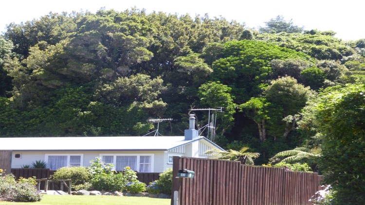
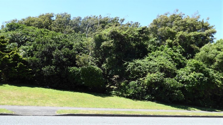
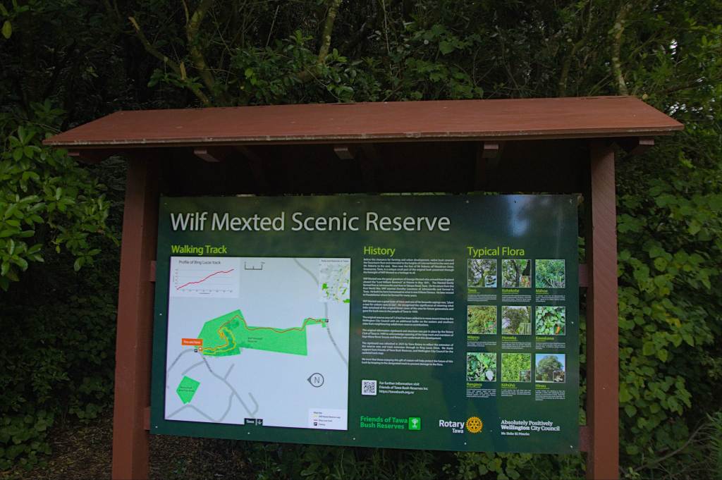
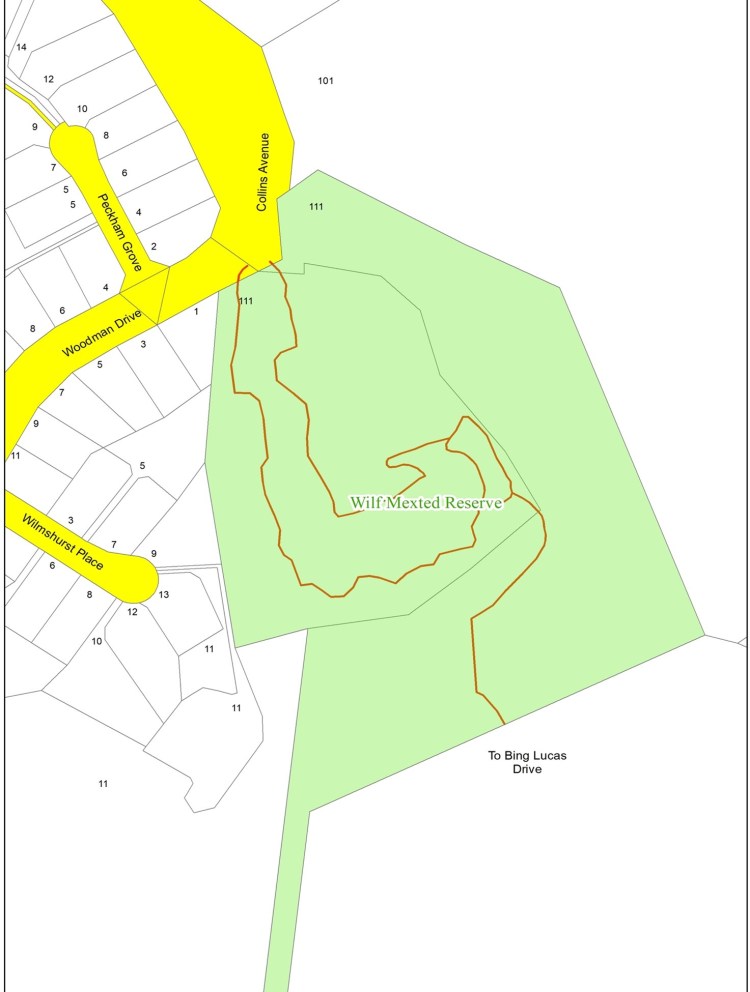
Wilf Mexted Reserve
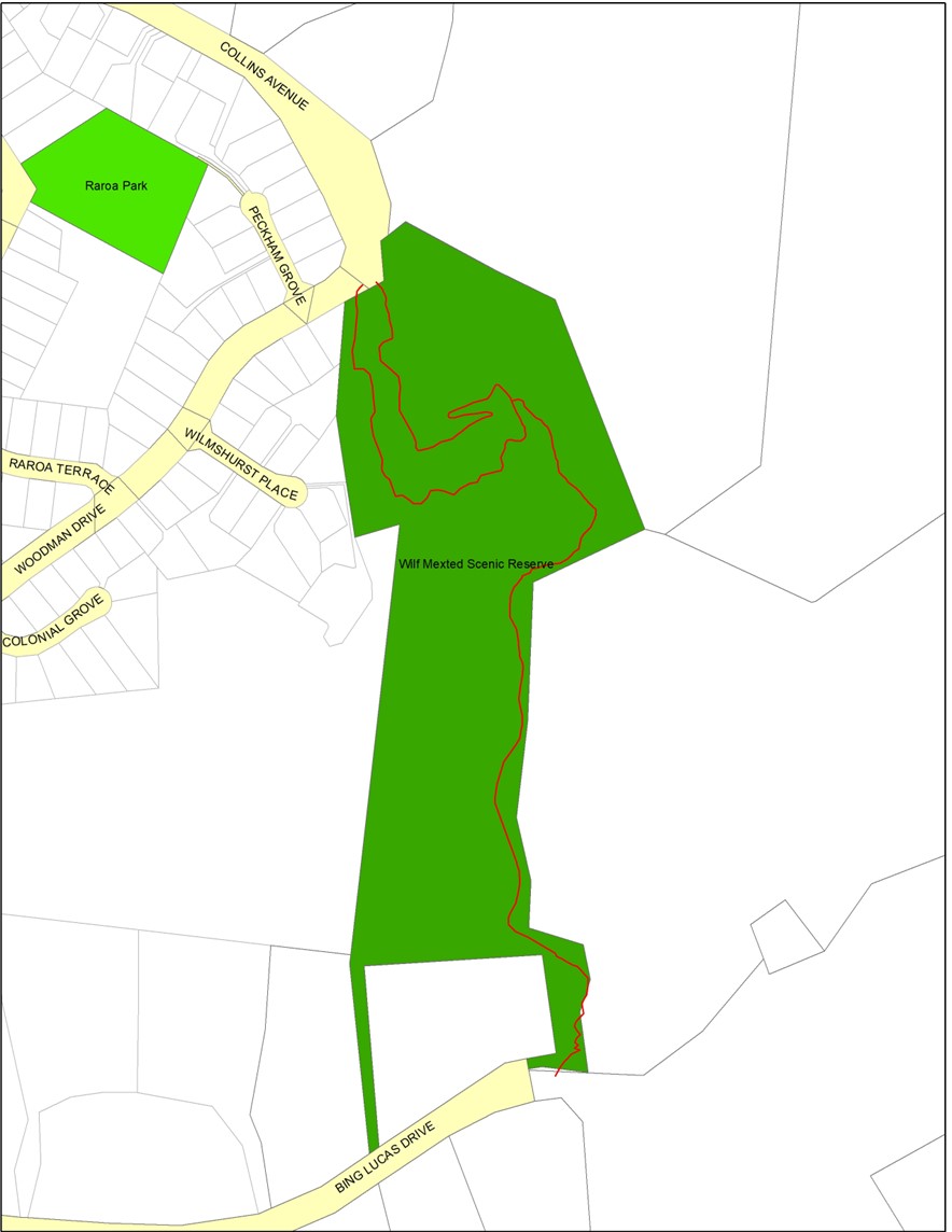
Access:
From Woodman Drive below number 1 and from Bing Lucas Drive between numbers 173 and 179.
Parking:
On Woodman Drive near number 1 or on Bing Lucas Drive near number 179.
Terrain:
After entering the reserve from Woodman Drive, there are two tracks that ascend to the ridgeline within the bush and form a loop at the top. The uphill route uses a zig-zag and approximately 16 steps to lead to the seat and lookout.
At the top of the ridge, a track to the left continues up towards Bing Lucas Drive through secondary growth bush. The final part of this track is still through long grass and is to be developed and this will then make possible an extended walk into the Woodburn Reserve (See walk Number 8). The slope approaching Bing Lucas Drive is clay and will be slippery when wet.
Type of trees:
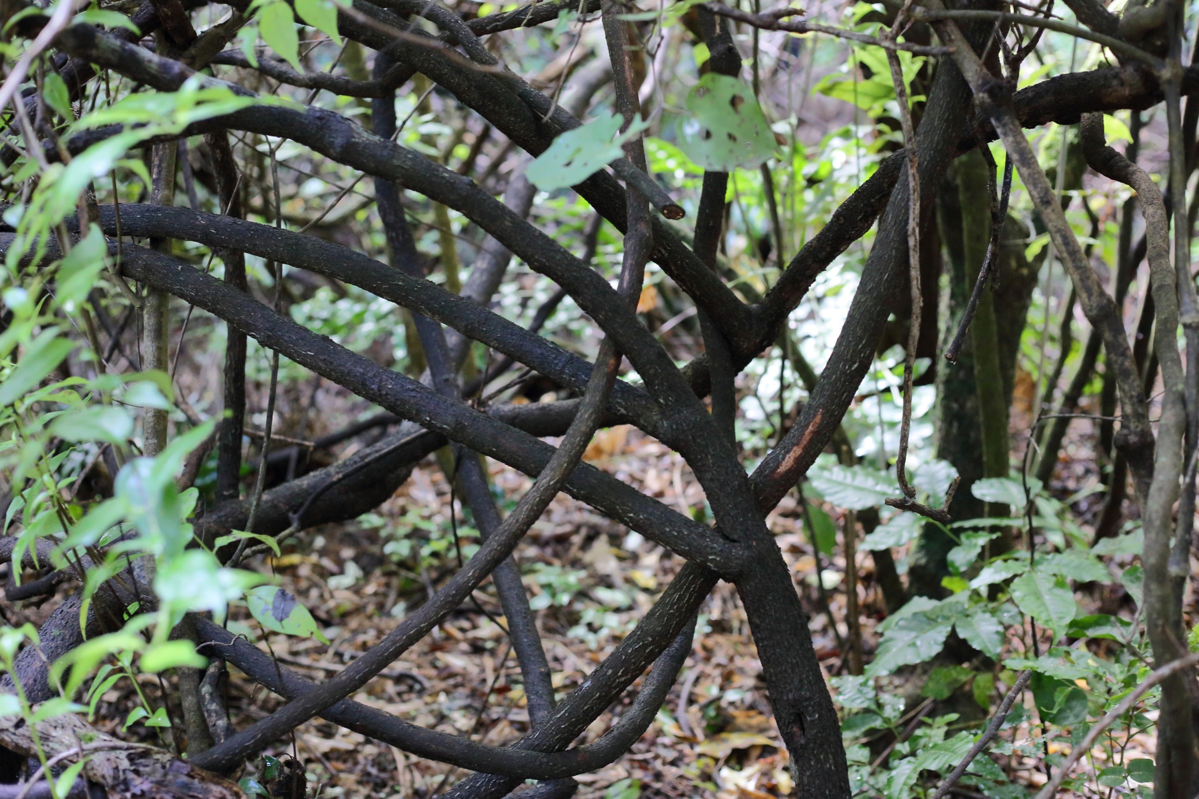
On entrance from Woodman Drive, the lower levels of the bush is dominated by a mature canopy of large tawa and kohekohe trees. The bush on the lower slopes is relatively open, with shrub and ground ferns especially common on the higher and steeper areas. Lianes and epiphytes are common in the canopy layers with supplejack, bush lawyer, kahakaha, rātā, hanging spleenwort, NZ jasmine, and puka being the most common. Throughout the reserve, the shrub layer is dominated by kawakawa, kanono, rangiora, māpou (red matipo), hangehange, and whauwhaupaku (fivefinger). Tree ferns, both ponga (silver fern), and mamaku (black tree fern) are also common throughout.
On the ridge-line the bush is denser, with notable large specimens of kahikatea, hīnau, miro, rewarewa, pukatea, māpou and kotukutuku being visible. Beyond the ridge-line, although large tawa and kohekohe are still common, māhoe and tree ferns are very evident. There are two mature nikau palms halfway up the south side in the bush, but off the track. This is the only Tawa Bush Reserve that has mature nikau – the only endemic palm that grows in our NZ native bush and the southern-most palm in the world. Our other reserves have nikau palms – but not this mature. They have become established through dispersal of fruit by birds from the mature nikau in Wilf Mexted Reserve.
Walking time:
The loop track takes 15-20 minutes at an easy pace.
From Woodman Drive to Bing Lucas Drive in approximately 15-20 minutes.
Off-road pushchairs:
Very marginal for the loop track as there are some moderately steep sections and several steps.
Also it is unsuitable from the top of the reserve to Bing Lucas Drive as the track is not wide enough and there is no formed track. The climb up to the road is also very steep in parts.
History:
The original land of 1.6ha was donated for a scenic reserve in 1939 by Wilf Mexted, a descendent of an early settler who farmed in Tawa and was a great lover of trees. Wilf’s foresight recognised the significance of retaining what little remained of the original forest cover, as much of the valley had been cleared for pasture by the late nineteenth century. Near the foot of Mt Robert, off Woodman Drive this small part of the original bush was preserved. In the early 1970s, a further 2.4ha including an access way to Bing Lucas Drive was added to the reserve which was a contribution from the developer, John Walsh.
Legal Description:
Section 180 Porirua District and Lot 10 DP 88281, being parts of Sections 48 and 50, Porirua District, and part of Section 6, Takapu District and 38 Porirua Survey District, and designated Open Space B Conservation Reserve site 5C.
Track Wilf Mexted 
Miro Wilf Mexted Aug 2024 
Miro 
Miro leaves 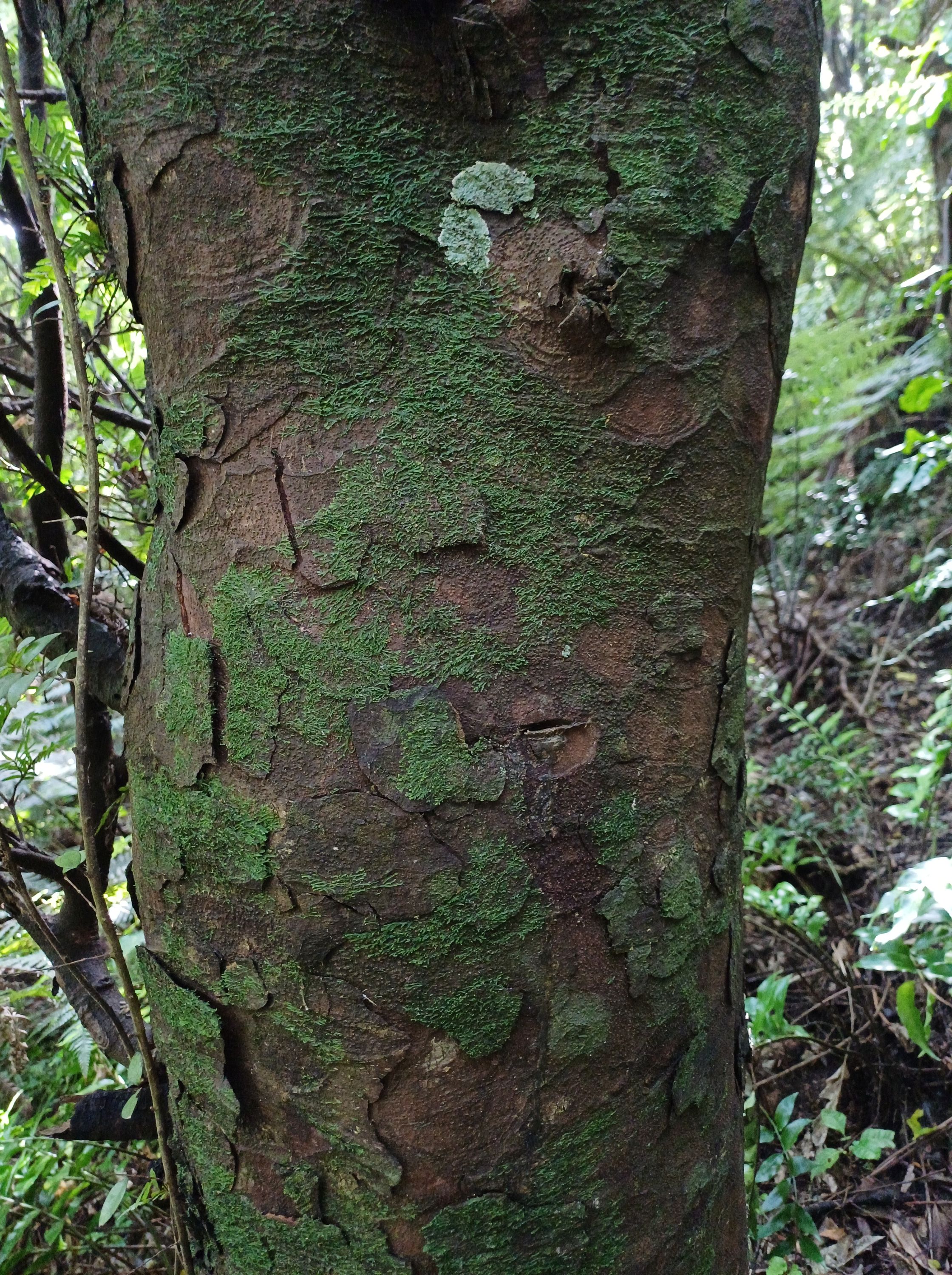
Miro bark 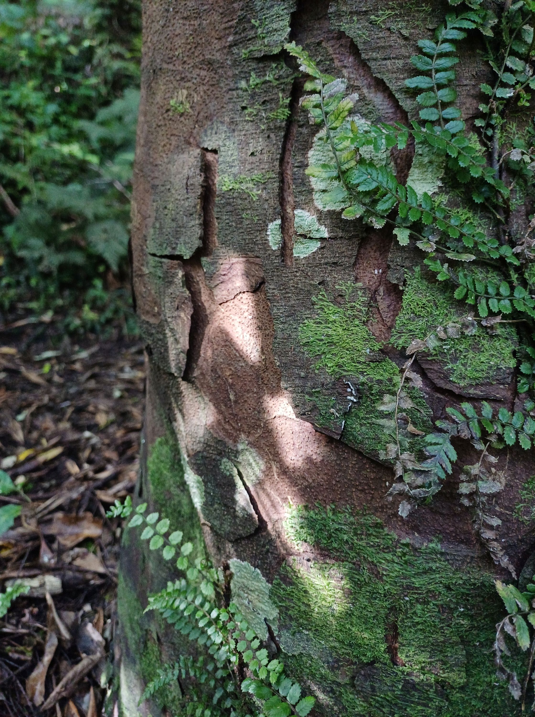
Rātā vine climbing up a Tawa tree 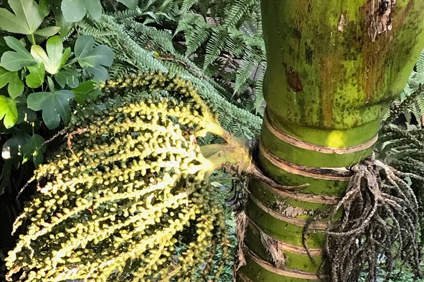

Rātā 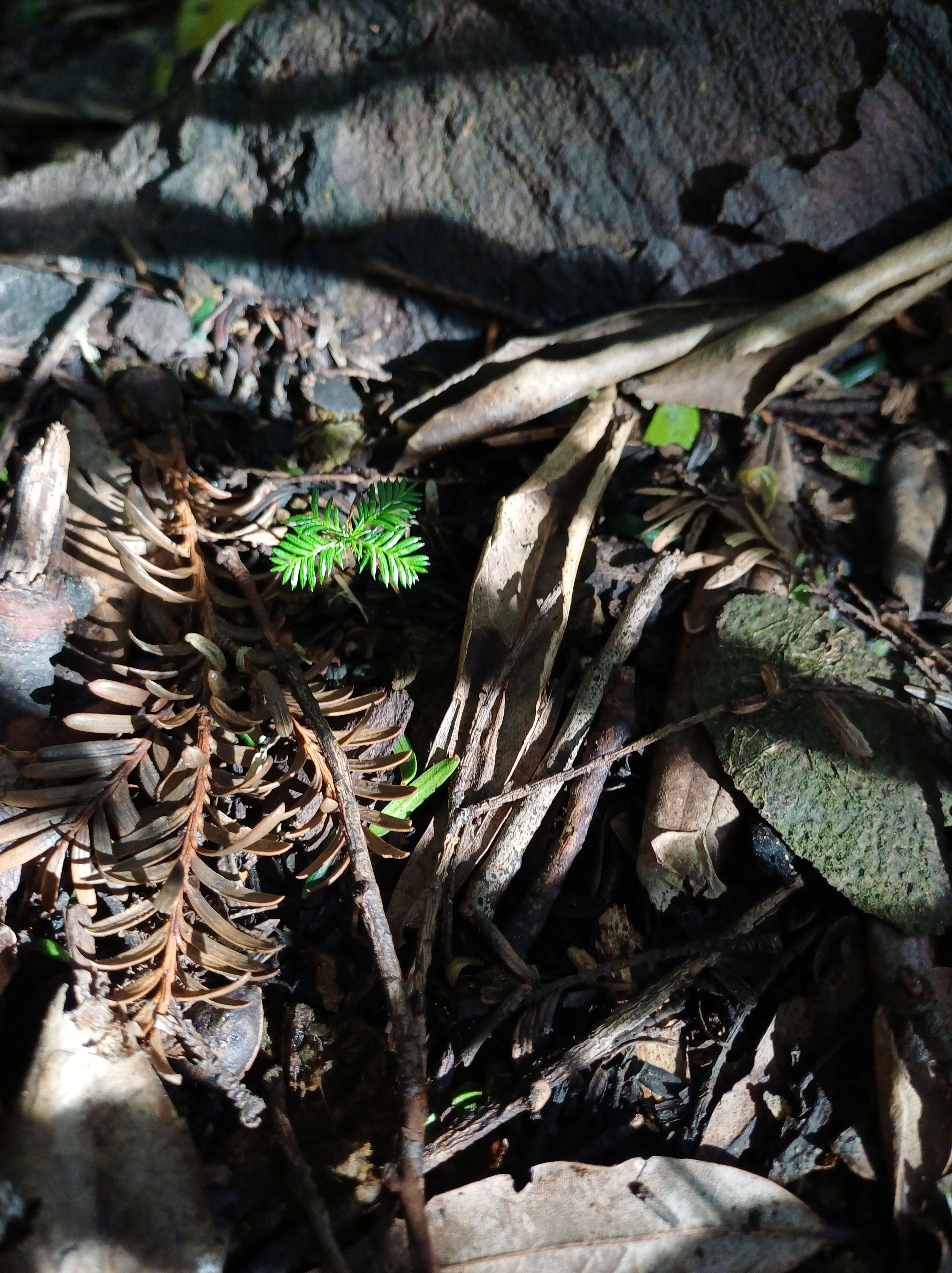
Miro seedling 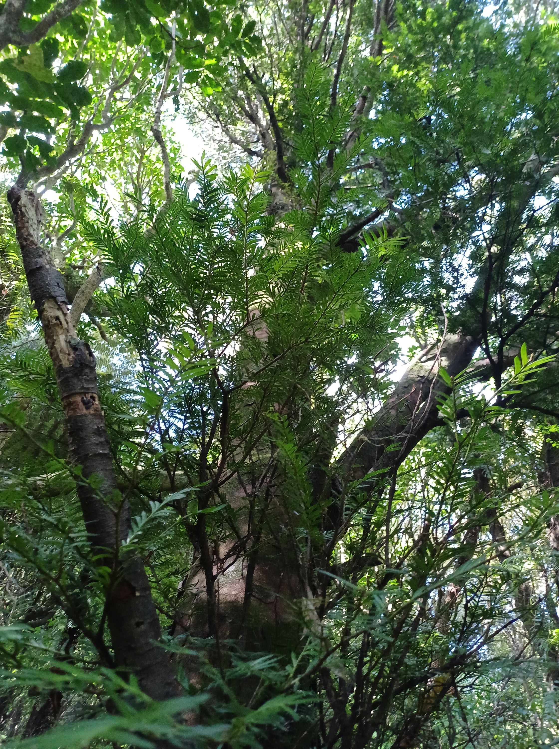
Miro 

Forest floor WIlf Mexted Aug 2024 
Hanging spleenwort 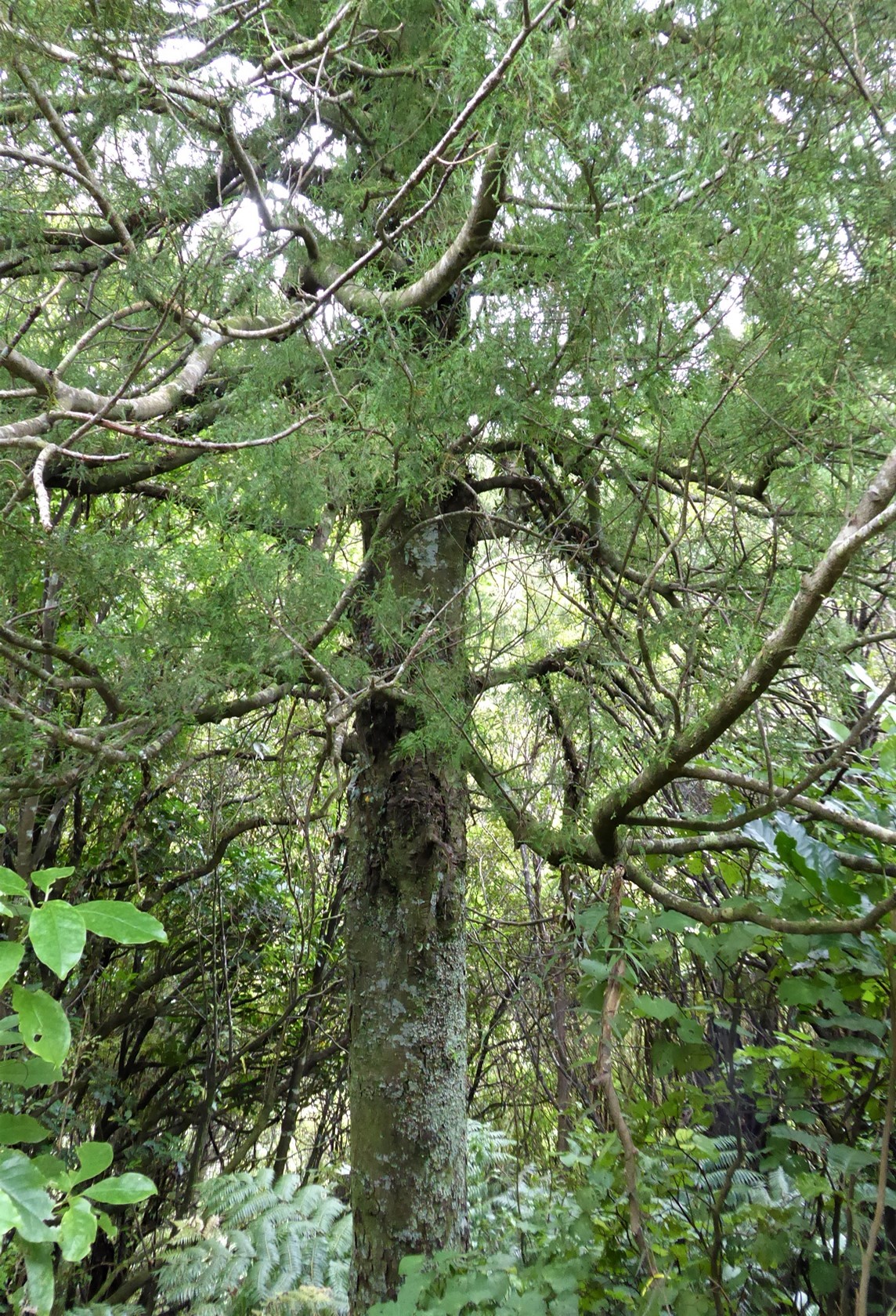
Kahikatea – Dacrycarpus dacridioides 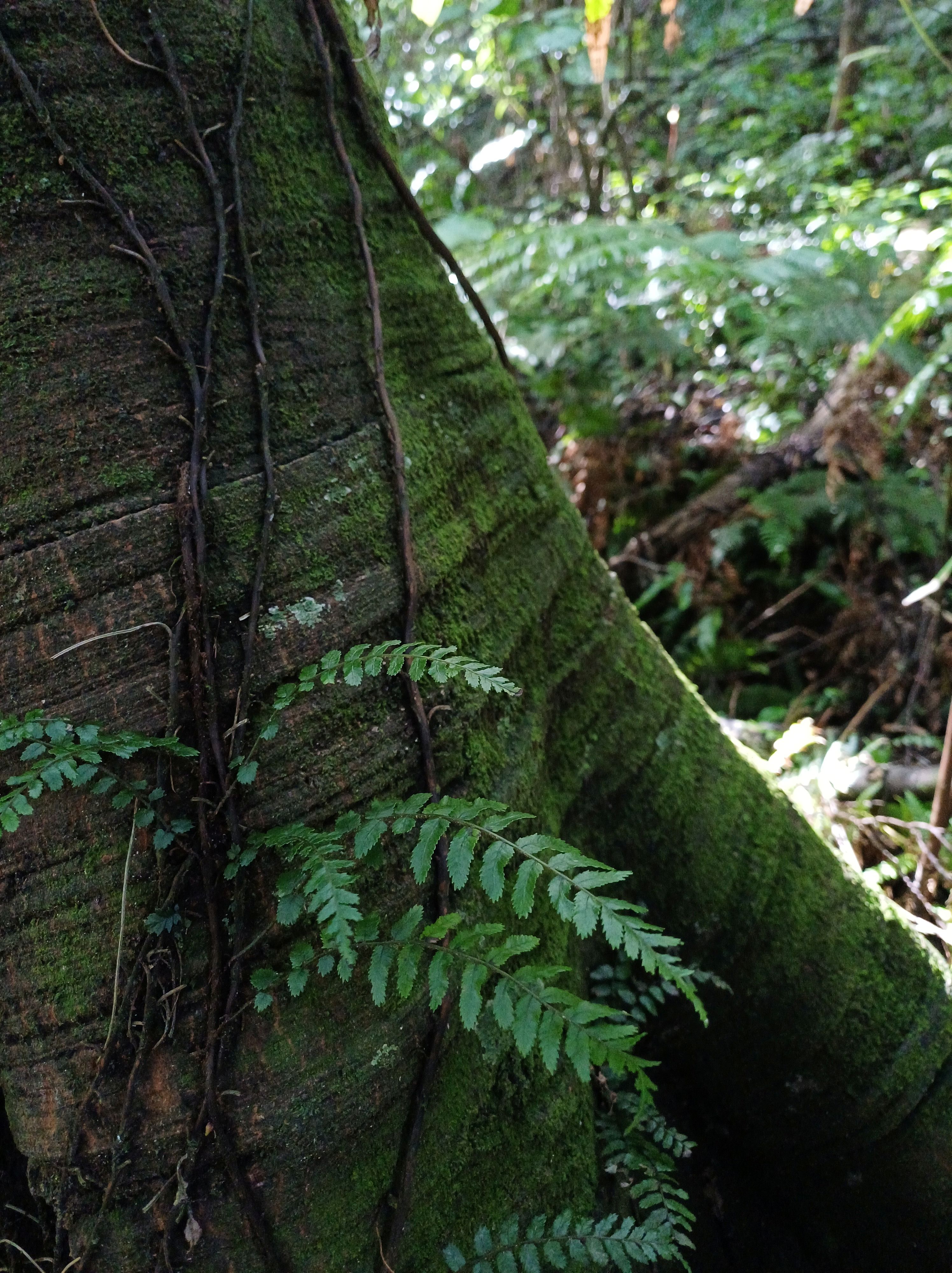
Tawa trunk 
Hinau – Elaeocarpus dentatus 
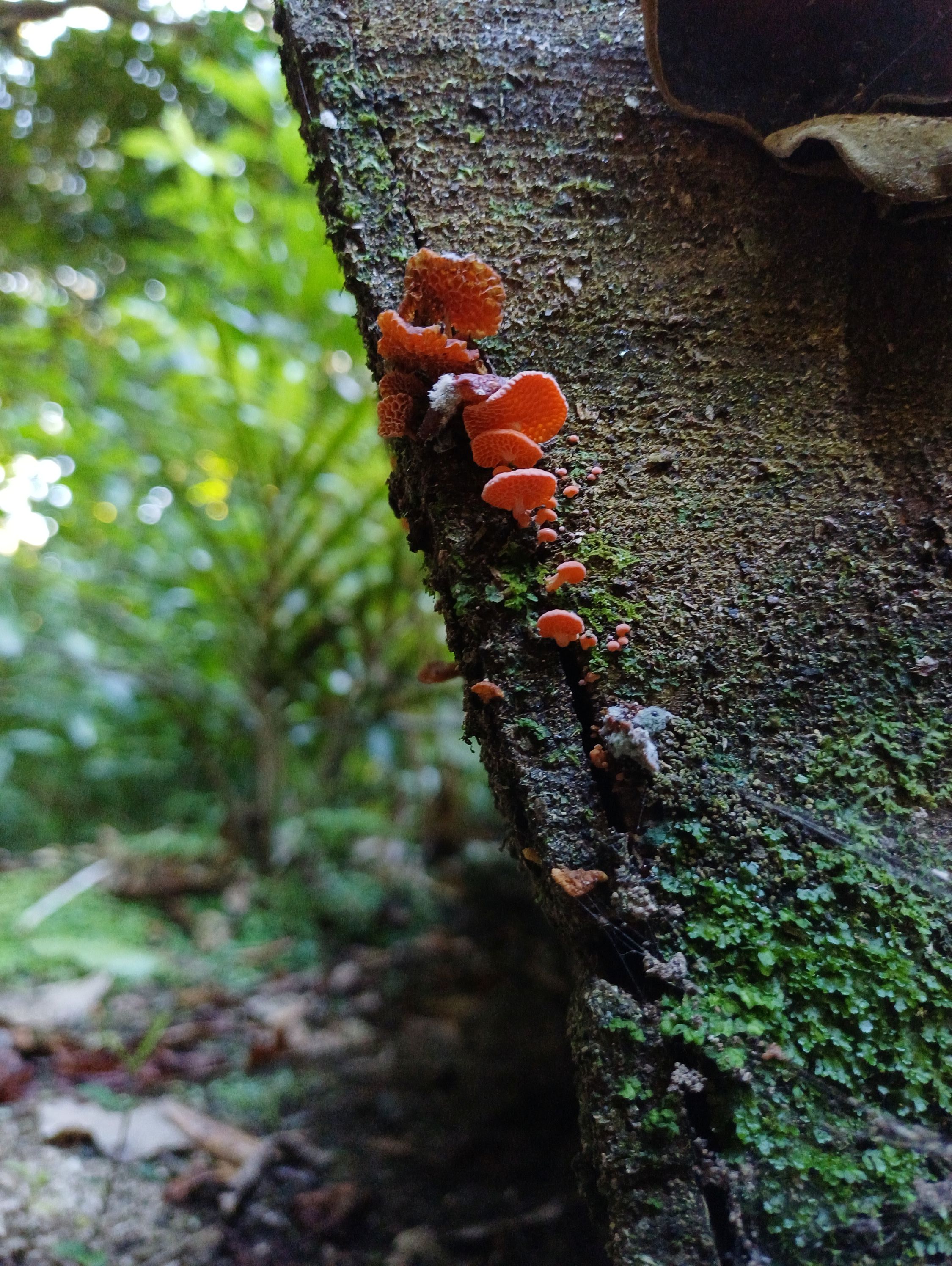
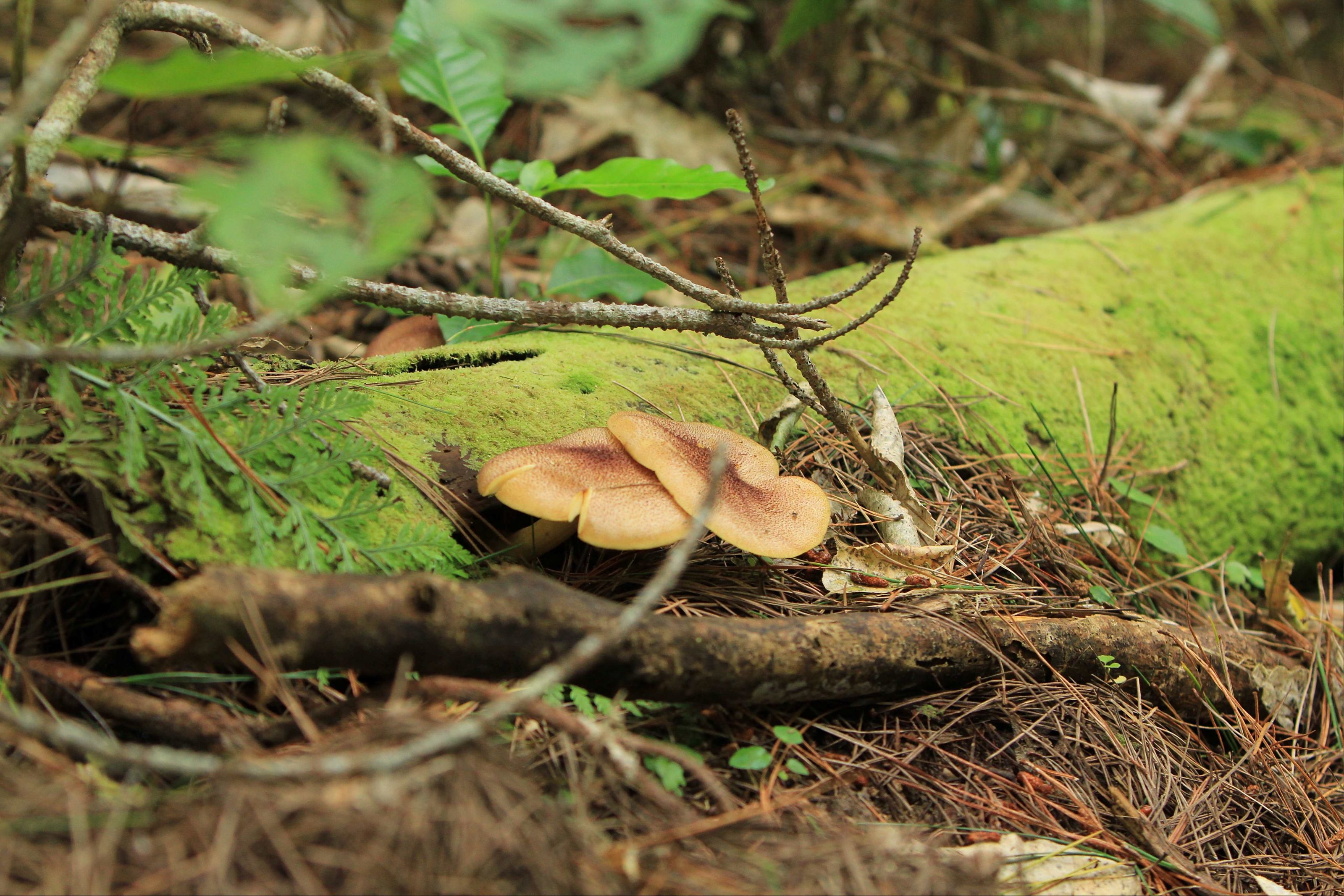
orange pore and ear fungi 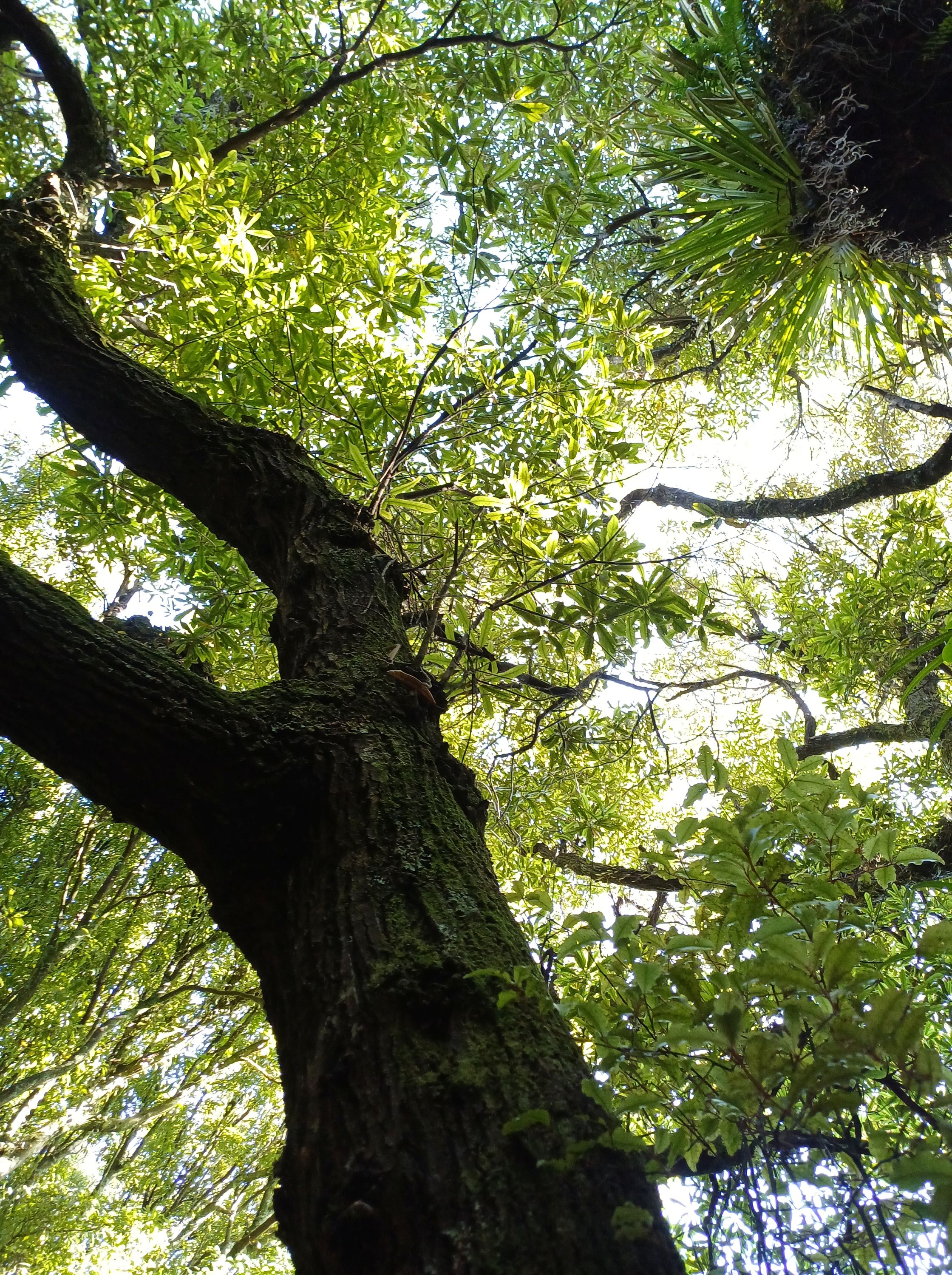
Mature Nikau 
Nikau seedlings 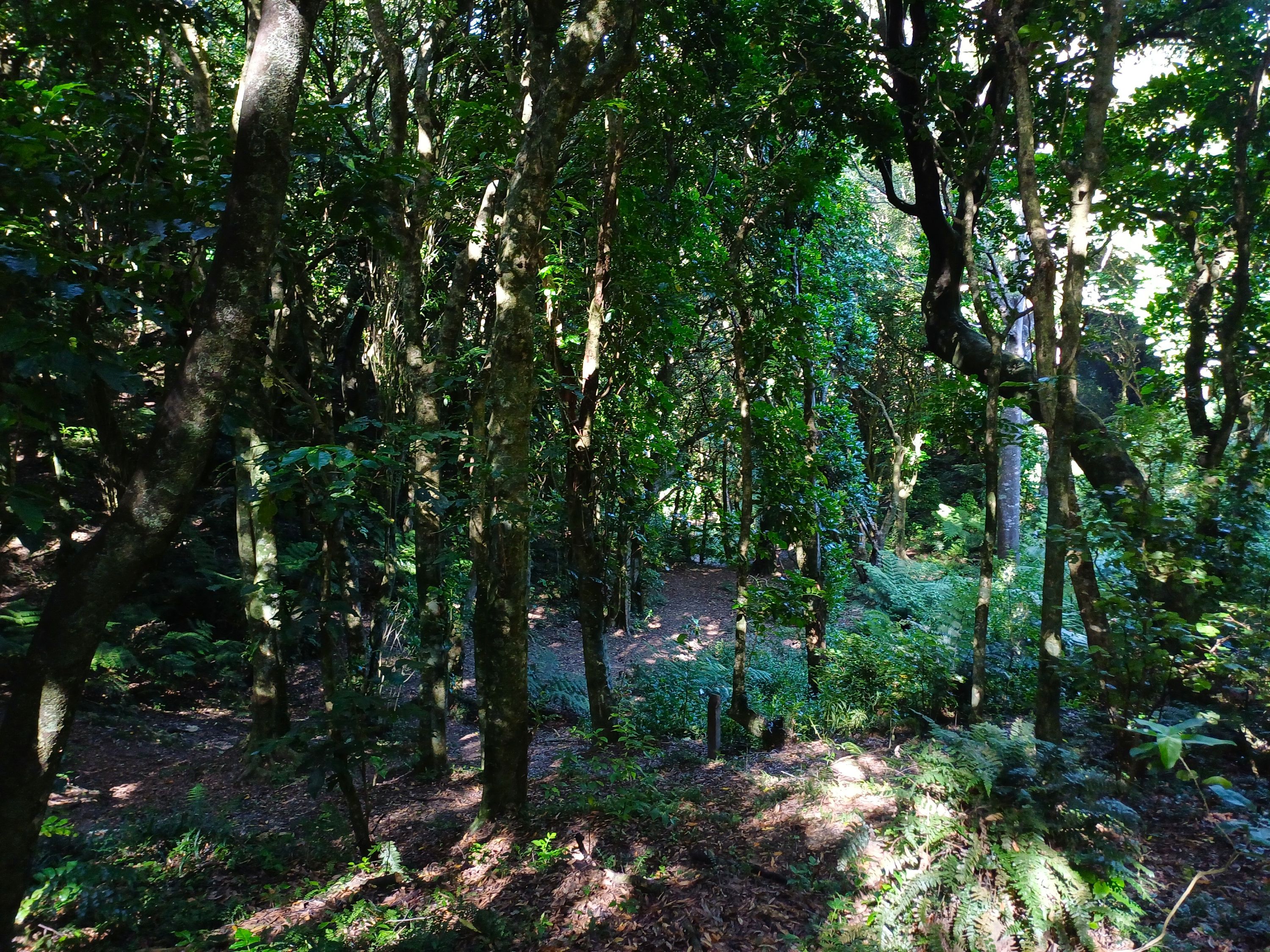

Tawa 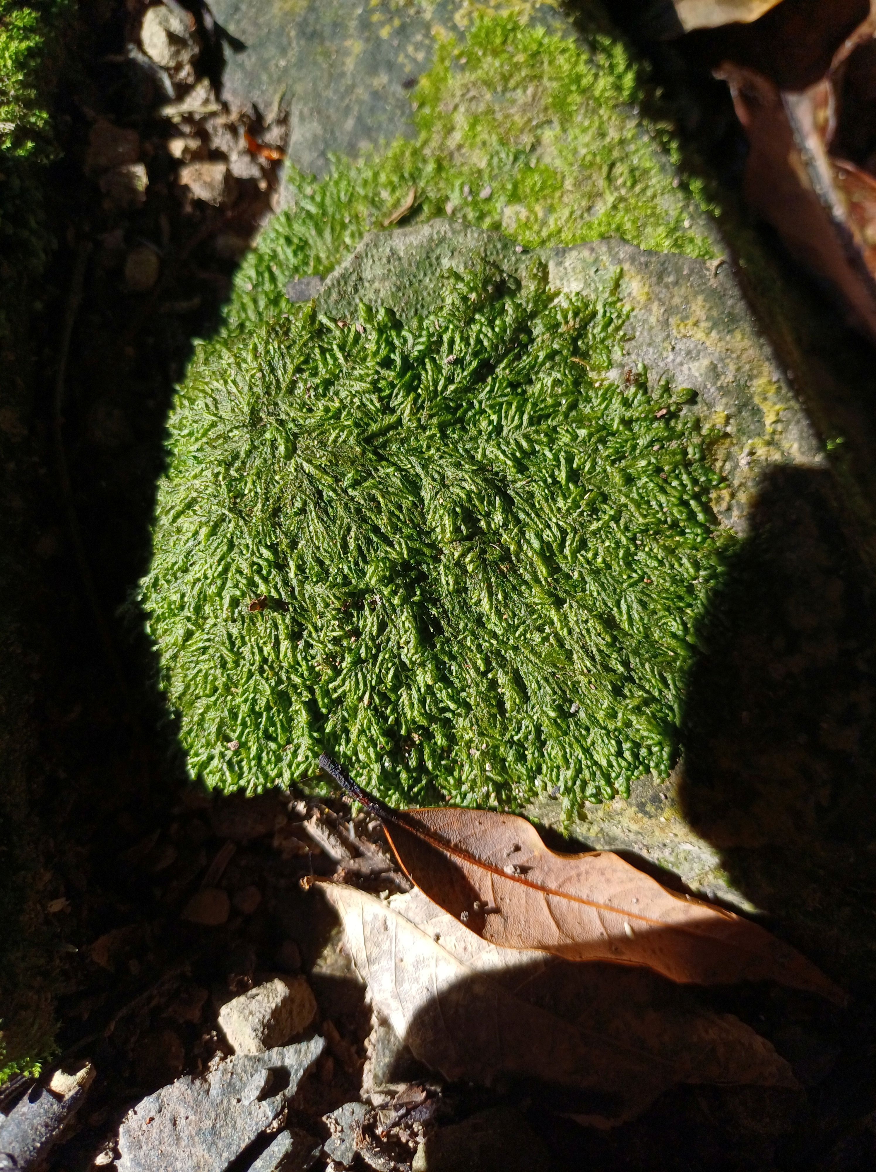
Rātā 
Kohekohe 

Tawa trunk and canopy 
Tawas 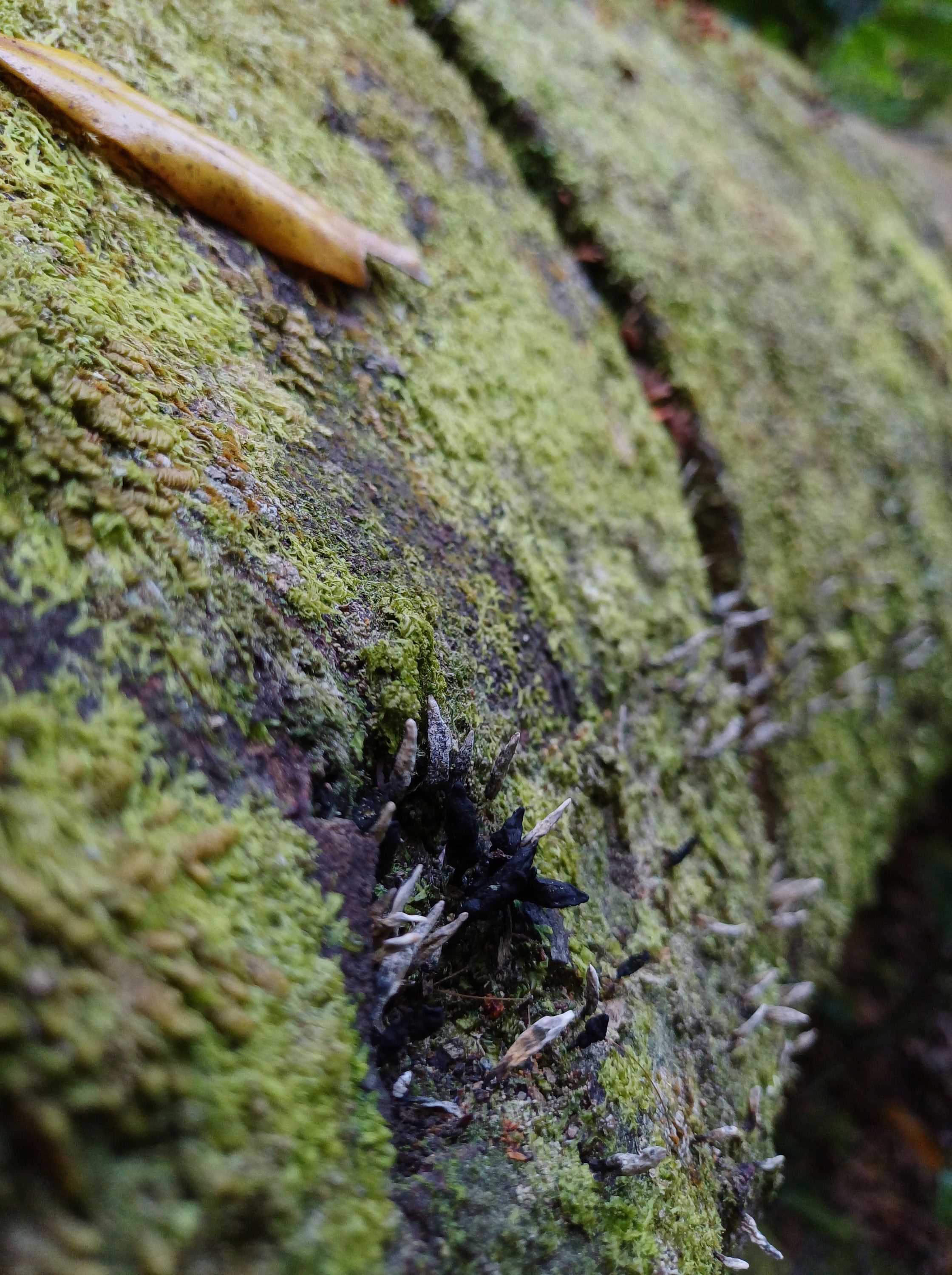


Tītoki 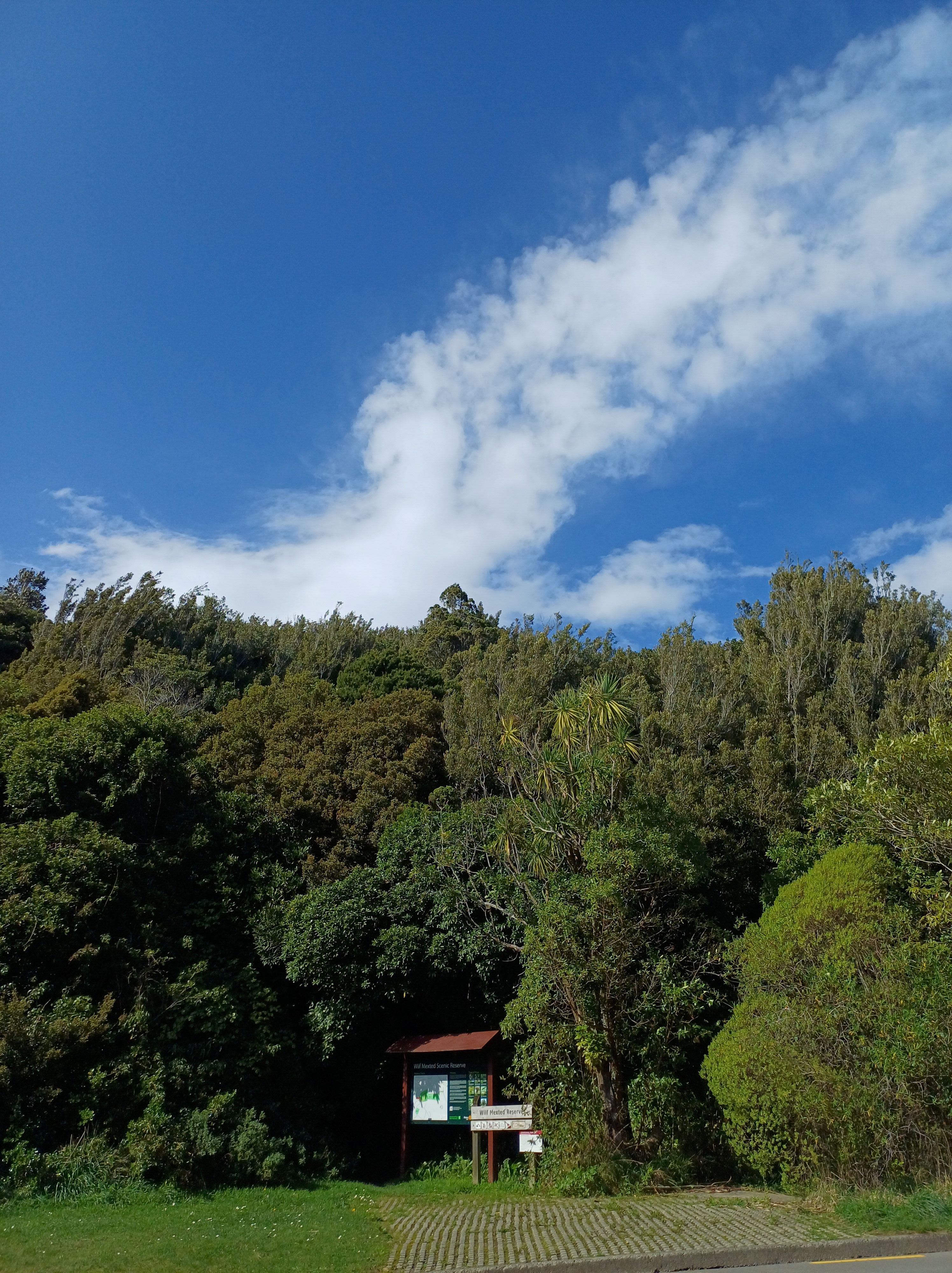
Wilf Mexted Aug 2024 Miro popping through canopy 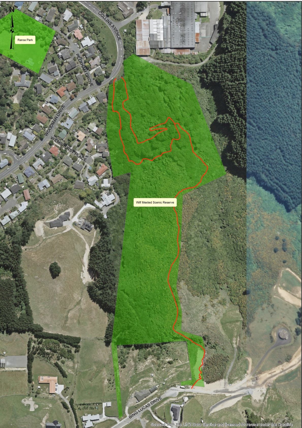
Aerial Map Wilf Mexted Reserve
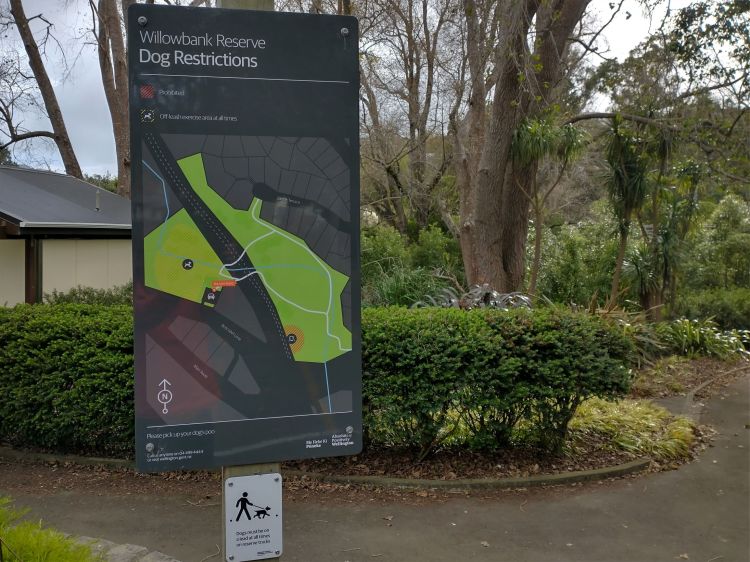
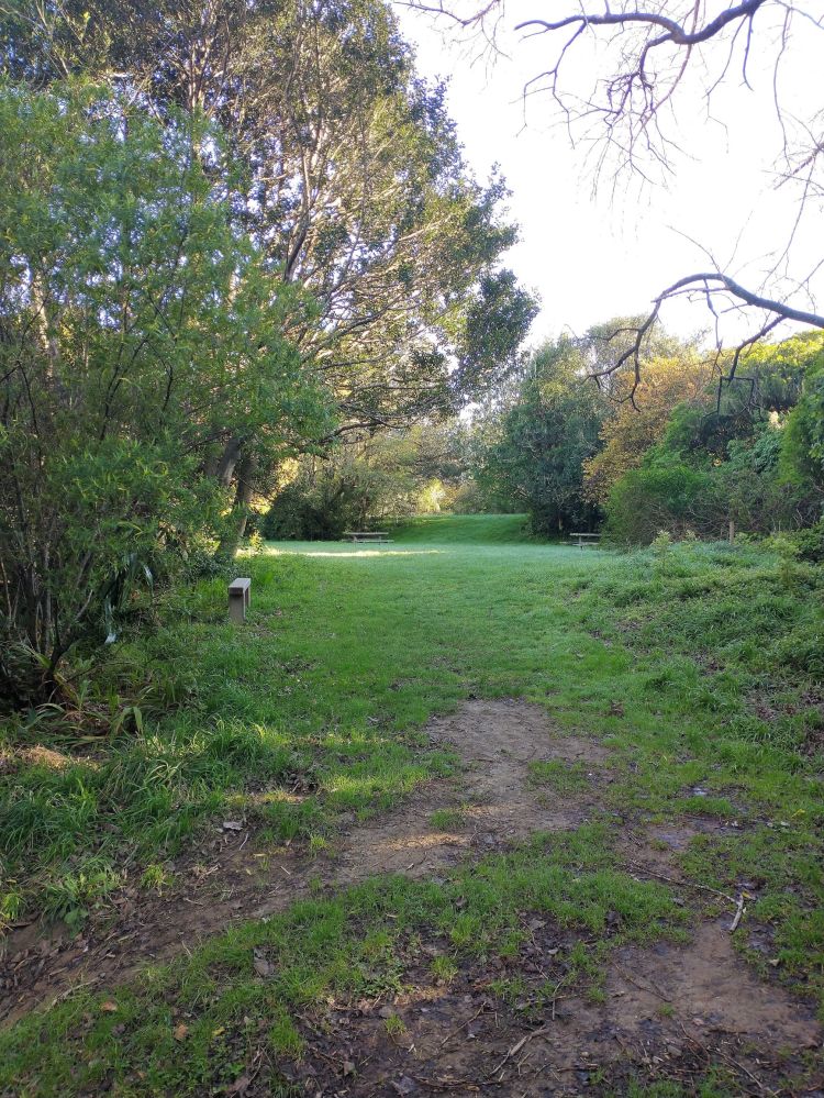
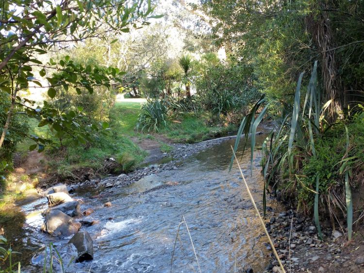
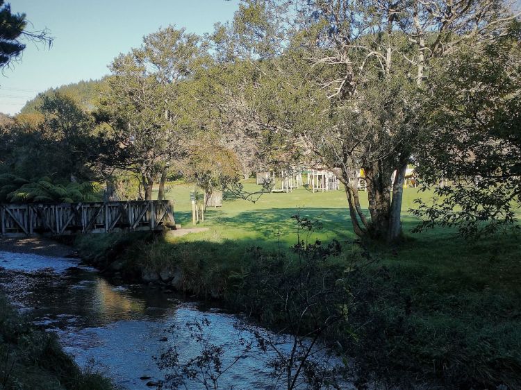
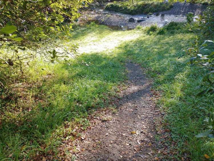
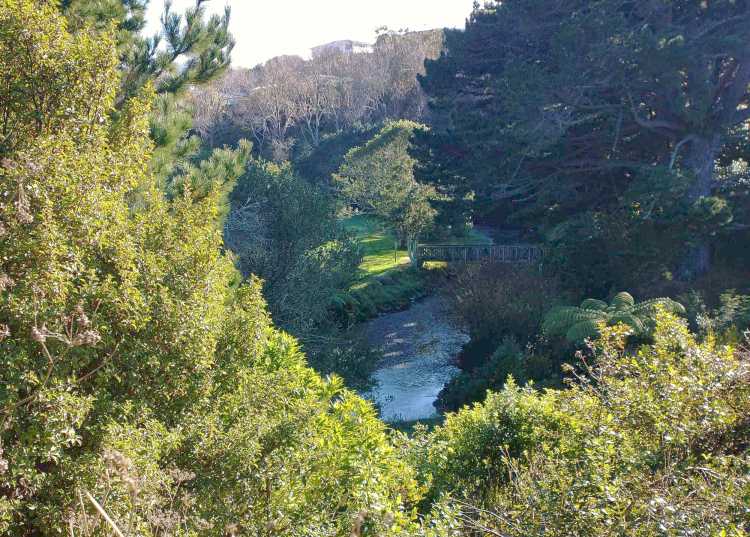
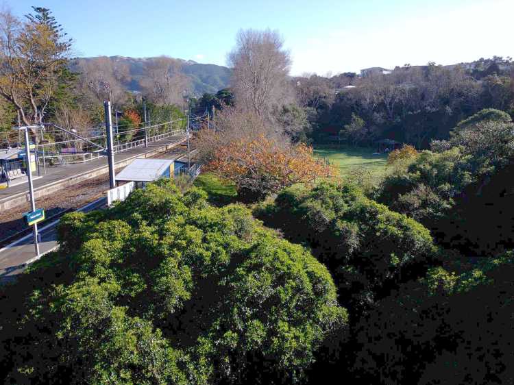
Willowbank Reserve

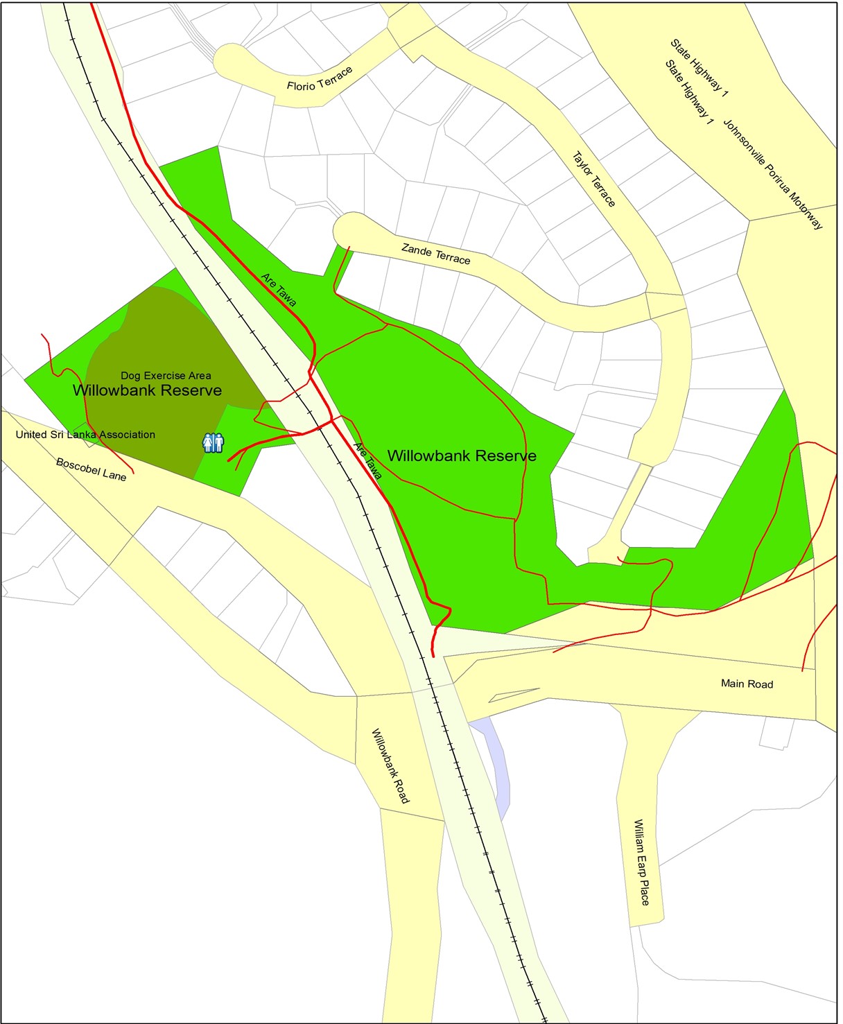

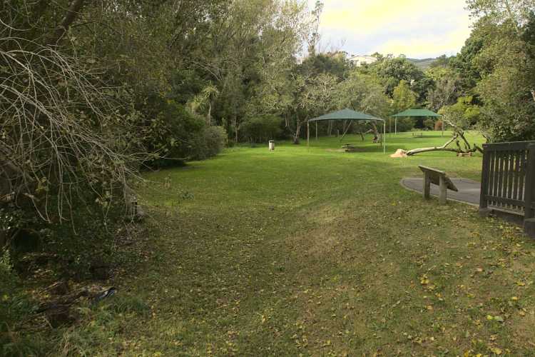
A popular amenity reserve, with a children’s playground, grassed areas, picnic facilities, walking tracks, toilets and a dog exercise area. Traversed south to north by the Porirua Stream, along with the Takapu Stream from the east, the junction of these is in the reserve. There are also historical and memorial sites.
Access:
Walking or cycling from the southern end of Ara Tawa walkway, or from the end of Zande Terrace, Taylor Terrace and Takapu Road. Also, using a path from the Outlet City carpark and Takapu Road Station.
Parking:
In Boscobel Lane.
Terrain:
The gentle sloping surfaces enable walking, as well as wheelchair and pushchair access. There are some slightly steeper tracks towards the end of Taylor Terrace and State Highway 1.
Types of trees:
These are predominantly exotic, with willows bordering the stream, plus other deciduous trees. Iconic trees include the ‘bucket tree’ and a Norfolk Island pine as well as Heritage fruit trees date back to the early settlers.
Walking Time:
Tracks from the Dog Exercise Area, past the Bucket Tree Lodge premises, to the grassed recreational area and the Children’s Playground are well defined and it takes only minutes to reach these areas. From the playground, there are other tracks that take 5 to 10 minutes to access the end of Taylor Terrace and also pass near the motorway alongside the stream.
History:
The reserve is part of the original Section 37 that included the Boscobel Farm, and dates from the 1850s, and was initially owned by William and Elizabeth Earp. The origin of the name ‘Willowbank Reserve’ that included Earp’s Orchard, is likely to have come from the tall willow trees. These are deciduous and naturally grow in the northern hemisphere and were reputed to be planted by the early settlers.
Historical sites and memorial trees:
It is the location for remembering significant people and planting trees that represent specific occasions in the life of the suburb.
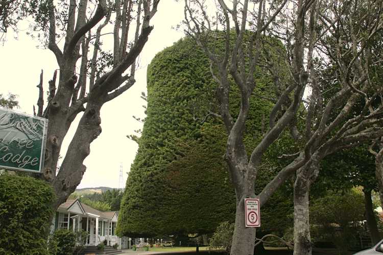
- Bucket Tree and Norfolk Island Pine
In front of the ‘Bucket Tree Lodge’, is the historic ‘bucket tree’ that has been pruned into the shape of an inverted bucket. It is registered as a notable tree (‘Earp’s Bucket Tree) and the tree was planted in 1865.
In autumn, a few millimetres are pruned back by WCC staff. In 2018, it was estimated to be 17m in height.
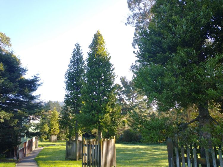
- Kauri trees
In September 2004, eleven kauri trees were planted alongside Boscobel Lane. They comprise nine for the ‘Fellowship of the cast and crew’ of the Lord of the Rings films, and one each for Sir Peter Jackson and Professor Tolkien, while also honouring the 11-Oscar sweep of The Return of the King. They recognise Sir Peter Jackson for creating the film adaptation of Tolkien’s book. Tolkien was well known as an avowed environmentalist.
- Heritage fruit trees
Seven heritage apple trees were planted in Willowbank Park near Boscobel Lane in 2008 to gradually replace the park’s dying fruit trees that are thought to have been originally planted by William Earp.
- Deceased FOTBR Committee members
Trees have been planted to honour deceased FOTBR committee members. Allan Todd died on 17 June 2013 aged 81 and a Prumnopitys taxifolia (mataī) tree was planted on 31 August 2013 on the other side of the stream and Allan’s ashes are buried under the tree.
Richard Robertson died on 24 December 2007 aged 52 and a memorial Agathis australis (kauri) tree was planted on 31 October 2010 opposite the playground near the stream.
- Doris Mills plaque
A Tawa Borough Councillor from 1971 to 1986 and Mayor from 1986 to 1987, Doris Mills died while in office. She took great interest in Willowbank Park. The plaque is set in the brickwork paving, close to the entrance from Takapu Road Station.
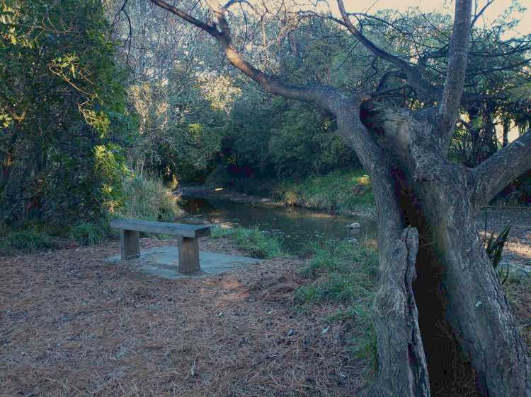
- Memorial seat
Near the Porirua Stream, beyond the canopy, there is a seat remembering JR (Ron) Wilson, a Tawa Borough Councillor from 1983 to 1988. As the memorial inscription indicates, Ron was a person who really enjoyed the reserve and still invites others to do so.
Willowbank Reserve Care Group
Willowbank Reserve Care Group looks after this reserve. They endeavour to promote the reserve as a desirable place to come and enjoy a natural environment with family and friends while creating a greater sense of local community. They are currently working on restoring significant areas by removing invasive and noxious weeds and replanting, helping to restore the indigenous biodiversity. They encourage the involvement of community groups in our activities particularly youth groups such the Scouts showing them the practical skills for planting and identifying the weeds we are working on removing and explaining how they inhibit the growth of desirable native plants.
They work cooperatively with residents whose properties border the reserve, New Zealand Transport Agency Roadside Reserve and Kiwi Rail representatives to educate and advise about the need to control weeds on their land and encourage their involvement with future projects along with the Wellington City Council who administer the Reserve.
Willowbank Reserve Care Group is a member of the Friend of Tawa Bush Reserves which facilitates the acquisition of native plants through the Memorandum of Understanding they have with Wellington City Council. Who manages on their behalf, funds obtained through any successful grant application.
Willowbank Reserve Care Group is working towards developing a five year plan with the Wellington City Council Park Ranger to effectively manage the removal of weeds and replanting and will be inviting the community to contribute ideas of how they imagine the reserve developing over this time frame. This will also look at what opportunities we have to apply for various grants to ensure we have enough funds to complete the plan within the five year time frame.
Willowbank Reserve Care Group members work twice monthly in the reserve – the first and third Thursday of each month from 9.30am to 11.30am. Anyone wanting to confirm times and details can contact the group by email: willowbankreserve.caregroup@gmail.com. Currently they are working in the area around the railway bridge that runs over the walkway leading into the reserve. Willowbank Reserve Care Group have an ongoing commitment to promoting and maintaining the Reserve to help restore it to its best.
Legal Description
To be supplied


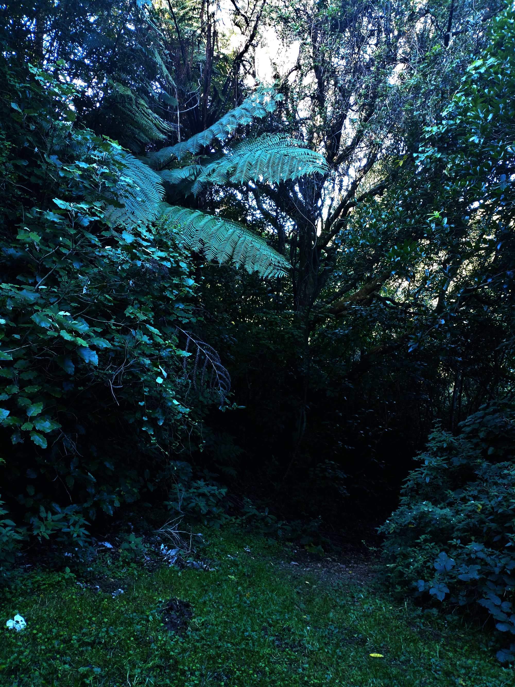
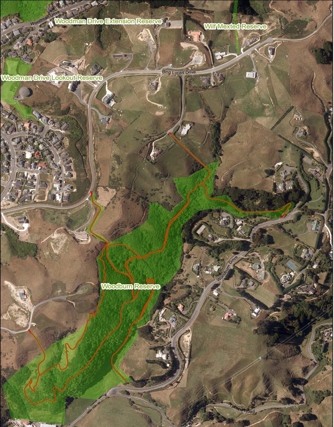
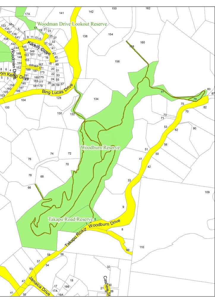
Woodburn Reserve
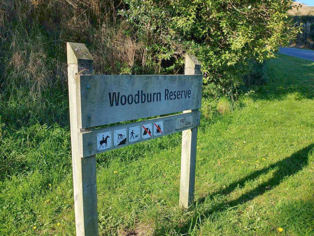

Access:
From number 1 Woodburn Drive, or 77 Woodburn Drive, or from number 66A Bing Lucas Drive, 134 Bing Lucas Drive, or number 158 Bing Lucas Drive.
Parking:
On Bing Lucas Drive or Woodburn Drive.
Views:
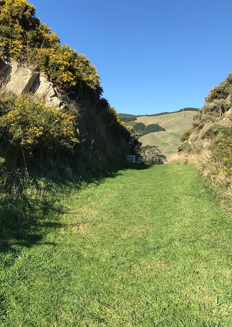
Great views across the Takapu Valley and up towards Horokiwi.
Terrain:
Generally undulating. There are some very steep and unformed tracks to the Bing Lucas Drive entrances. Also there are some steep clay sections in the lower part of the reserve which are slippery after rain.
Type of trees:
There is a mix of introduced and native trees including pine, wheki, rangiora, and the ever present gorse and blackberry. At the south end, mature tawa and rewarewa are present and a large northern rata.
Walking time:
Allow 70 minutes for easy walking on the main track from the top to the bottom of Woodburn Drive. You can also take a lot longer if you take the side tracks to Bing Lucas Drive. Beware of the blackberry.
Off-road pushchairs:
Marginal. Parts of the tracks are very steep!
History:
This reserve came into being as the reserve contribution for the nearby subdivision in the early 2000’s. The land that is now the subdivision and the reserve belonged at one time to Sir Ron Trotter. His father’s farm was named Woodburn, hence the name for the present reserve.
The area surrounding the reserve was mostly cleared for farming following European settlement but a bush remnant on the steep escarpment was left relatively intact and thus it still contains a few magnificent native tree specimens amongst regenerating bush. This remnant, similar to others of the area has a dominance of tawa with emergent rewarewa. Other predominant species are kohekohe, red matipo and pigeonwood, with occasional hinau and tree fuchsia. The edges are buffered by mahoe-dominated regenerating bush as well as gorse.
The main access tracks for the reserve are a bulldozed farm track, sidling through the reserve north to south, and a water main access route from Takapu Road. Around 2010, work commenced to open up the overgrown southern end of the bulldozed track and to form a new link track from the southern end of the reserve to the right-of-way access point at 66A Bing Lucas Drive.
In December 2005, FOTBR first undertook working-bees to remove the worst of the weeds, primarily old man’s beard and Himalayan honeysuckle which continue to be monitored and controlled. There are also working bees to keep this route open from the more serious weeds such as blackberry, gorse and broom.
During 2011-12, WCC employed a contractor to cut the hawthorn trees in the reserves but this continues to be a pest plant along the escarpment – an escapee from early hedge-groves from the farm. FOTBR have also undertaken weed clearing and plantings in from the entranceway at 77 Woodburn Drive and regular seasonal plantings continue.
Legal Description:
Lots 101 & 102 DP 79969 and Lot 52 DP 302319, parts Section 40 and 42 Porirua Survey District, and designated rural.


Further Reading – Great Books on Tawa Reserves!
Redwood Bush, Tawa
This book is now available to be purchased at Tawa Books and Post

This colour-illustrated, 160-page A4 size publication features:
- native bush in Tawa at the time of pioneer settlement
- some history of the Redwood subdivision
- residents of Tawa protest and action is taken
- recollections by residents of changes in Redwood Bush over time
- walking Redwood Bush in the present day
- visual details of the native flora and birds in Redwood Bush and how these have changed
- lizard studies, lichens and fungi recorded in Redwood Bush
- pest control and the resurgence of the flora and fauna
- information on a new signed botanical walk in Redwood Bush.
Tawa the tree, the community and its reserves
Available to purchase at the Tawa Library *
This colour-illustrated, 180-page A4 size publication features:
- an in-depth description of the tawa tree, its discovery and distribution in NZ
- native vegetation associated with tawa
- the native bush in the Tawa area – before and at the time of human settlement, and today
- eyewitness accounts of flora observed by early settlers of the region
- the uses of tawa – it is related to the avocado, bay tree and cinnamon
- the origins of the names ‘Tawa Flat’ and ‘Tawa’
- the history and work of ‘Friends of Tawa Bush Reserves’ with details of pest control in the bush reserves and other community activities
- the WCC purchase of the Forest of Tane and its importance
- detailed coverage of eleven reserves in Tawa – source of names, history, vegetation, development, aerial images, maps, tracks and photos taken in each reserve
- history of bird species in Tawa and comparative data on bird populations recorded in 2008 and 2017 in Redwood Bush Reserve
- a detailed list of the plant species in the native bush reserves in Tawa – common names, Maori names and botanical names.
Tawa, its recreational parks and reserves
Available to purchase at the Tawa Library *
This full colour-illustrated, 190-page, A4 size publication features:
- a description of the 33 parks and reserves in Tawa
- aerial images and maps showing their location
- the walking tracks identified in the reserves
- the playground and recreational facilities within the parks
- maps and images identifying the development of the parks and reserves
- descriptions of the history of the sports groups that use the parks
- iconic features and trees within the parks and reserves
- the origin of the names of all the Tawa parks and reserves.
The author of these books is Gilbert (Gil) Roper, who is a member of the ‘Tawa Historical Society’ and ‘Friends of Tawa Bush Reserves’
* You may purchase these books directly from the Tawa Library, Corner Main Road and Cambridge Street, Tawa for $35 each. There is also a limited print-run, and orders can be placed by email with Ken Woodgate, Secretary, Tawa Historical Society: ken.woodgate (at) xtra.co.nz.
Please note: These books are published by the Tawa Historical Society and FOTBR (Redwood Bush book) which are non-profit organisations. They seek to defray the cost of printing through the sales of these books.

Further Walking Maps and information
Tawa Bush Walking Maps
Wellington Walks Web Map
Provided by the Wellington City Council – available here
Wellington City Walkways
https://wellington.govt.nz/recreation/enjoy-the-outdoors/walks-and-walkways
Porirua City Council Walks
https://poriruacity.govt.nz/discover-porirua/walking-biking/walk/top-10-walks/
